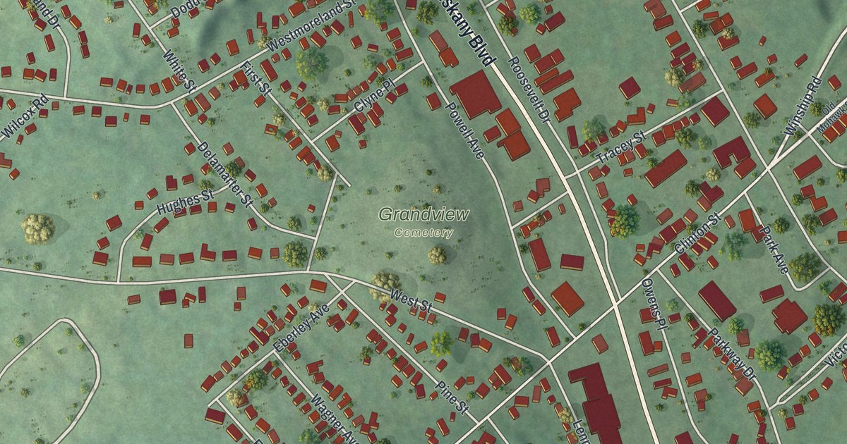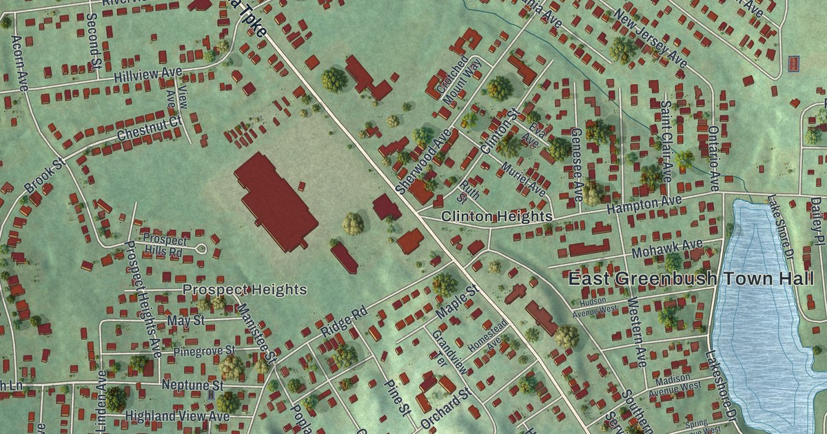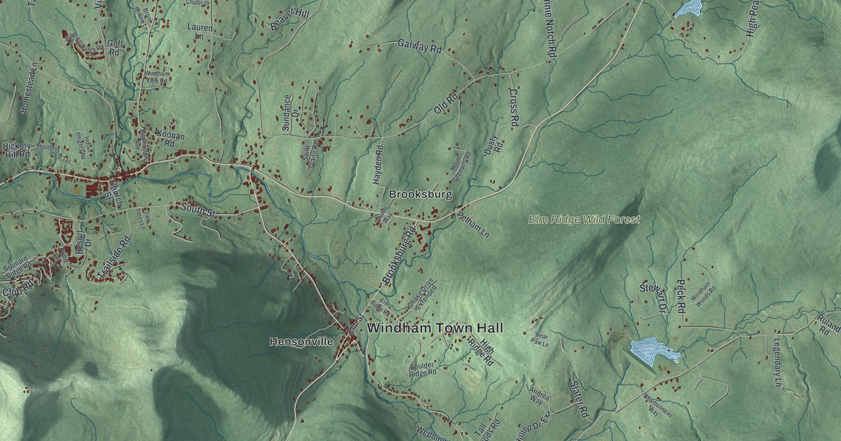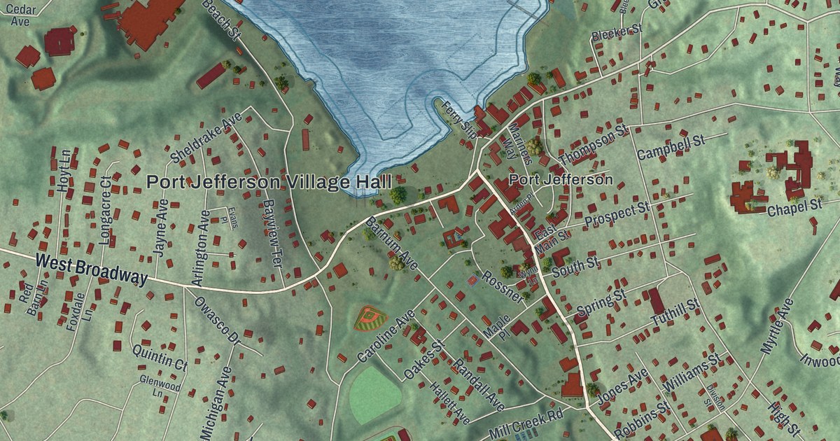
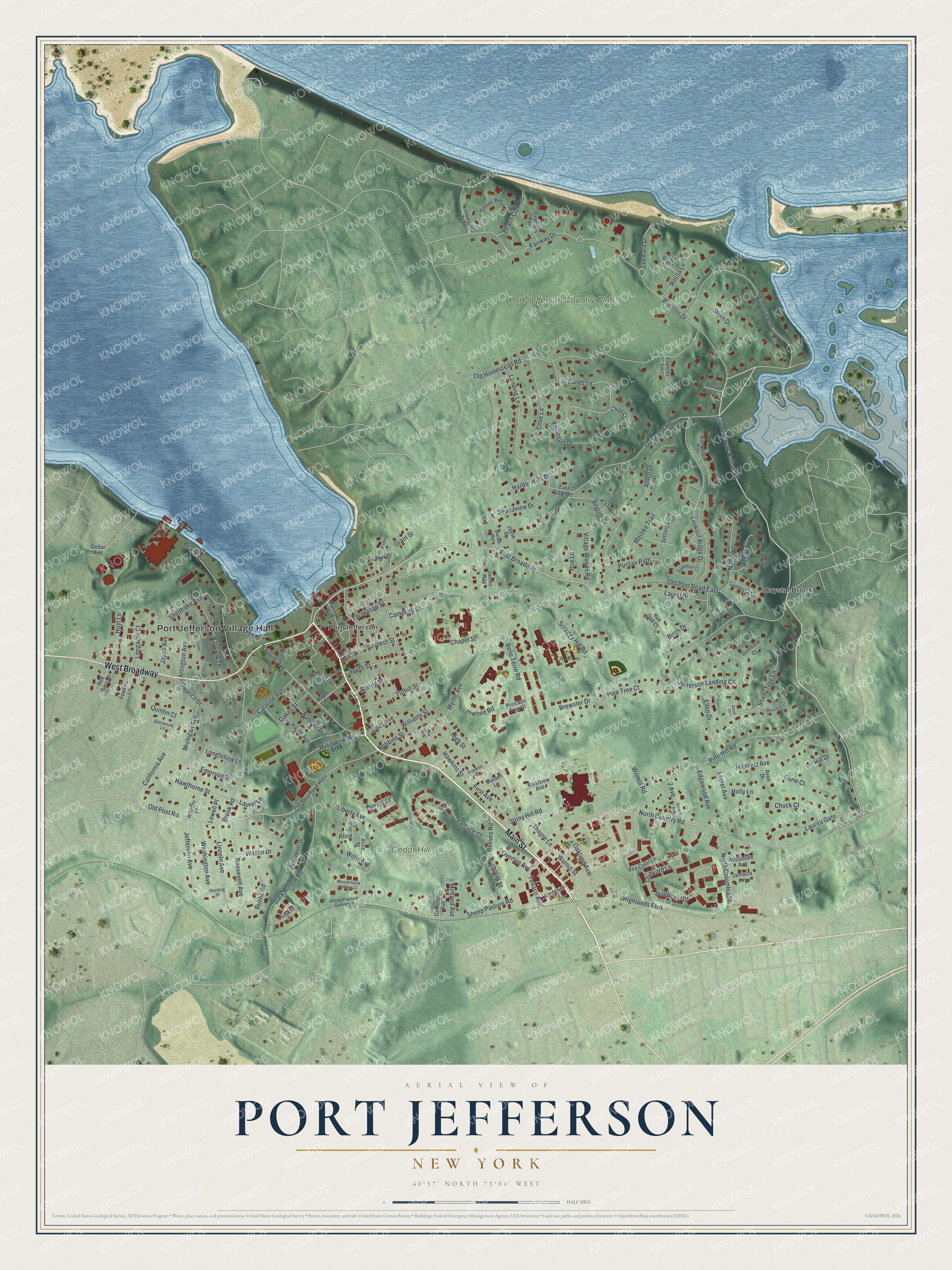
This beautifully detailed map of Port Jefferson, New York was created in 2026 using aerial imagery combined with modern topographical, census, street and landmark data. It’s a one-of-a-kind view of Port Jefferson that combines accurate data with a vintage aesthetic. The map shows every building in its true location, many of the roads carry their names, and the shaded topographic relief shows the shape of the land.
Explore an aerial view of Port Jefferson, New York
On the map you’ll find Port Jefferson Village Hall, West Broadway, East Broadway, Crystal Brook, and Cedar Hill Cemetery, along with Main Street, Crystal Brook Hollow Road, and more. If you look closely you can even find your house accurately drawn in its correct location. Zoom in on the preview to look for yours.
Did You Know?
The first name of this harbor village was Sowaysset, a Native American term. Settlers renamed it Drowned Meadow in 1682. In 1836 local leaders built a causeway to lift 22 acres of harborfront that flooded at high tide. That same year the village was renamed in honor of Thomas Jefferson.
Take a closer look at the Port Jefferson map
Names on this map
These names are printed on this map.
Places: Port Jefferson Village Hall, Cedar Hill Cemetery, Crystal Brook, Port Jefferson and Port Jefferson Country Club.
Streets and roads: Main Street, West Broadway, Crystal Brook Hollow Road, East Broadway, High Street, North Country Road, Belle Terre Road, Oakwood Road, Old Homestead Road, Jefferson Landing Circle, Thompson Street, Myrtle Avenue.
More street names, A to Z
2 Avenue, Alden Drive, Alice, Alice Street, Arden Place, Arlington Avenue, Avon Drive, Barnum Avenue, Bayview Terrace, Beach Club Road, Beach Street, Berkshire Court, Birch Drive, Bleeker, Bleeker Street, Brewster Drive, Brook Road, Burke Road, California Avenue, Campbell Street, Caroline Avenue, Cedar Avenue, Cemetery Avenue, Chapel Street, Chips Court, Chuck Court, Contessa Court, Cooper Court, Corie Court, Cove Lane, Dark Hollow Road, David Court, Davids Way, Deerfield Court, Division Street, Doyle Court, East Gate Road, East Main Street, Edgewood Avenue, Ellen Drive, Emerson Street, Evans Place, Fairway Drive, Ferry Slip, First Avenue, Foxdale Lane, Frances Lane, Franklin Street, Fruita Street, Glenwood Lane, Grant Street, Hallett Avenue, Harbor Hills Drive, Harding Street, Hawkins Street, Hawthorne Street, Highlands Boulevard, Hillcrest Avenue, Hill Drive, Holly Lane, Hoyt Lane, Inwood Road, Jamaica Avenue, James Way, Jayne Avenue, Jayne Street, Jefferson Avenue, Jones Avenue, Landing Lane, Laurel Avenue, Laurel Drive, Laurel Lane, Laurita Gate, Leeward Drive, Leeward Lane, Liberty Avenue, Lincoln Avenue, Linden Place, Longacre Court, Longfellow Lane, Lookout Ridge Drive, Lowell Place, Maiden Lane, Maple Place, Mariners Way, Meroke Trail, Michigan Avenue, Midland Avenue, Mill Creek Road, Nadia Court, Nicholas Street, Nonawantuc Trail, North Columbia Street, Oakes Street, Oakland Avenue, Old Post Road, Old Post Road East, Old Post Road West, Overton Avenue, Owasco Drive, Peninsula Drive, Pilgrim Drive, Pine Hill Road, Pine Tree Court, Pinnacle Drive, Presidents Drive, Princess Tree Court, Prospect Street, Puritan Path, Quintin Court, Randall Avenue, Red Barn Lane, Red Oak Court, Reeves Road, Robbins Street, Roe Lane, Ronald Court, Roosevelt Avenue, Rosita Lane, Roslyn Court, Rossner, Rustic Road, Sands Lane, Sawtooth Cv, Scraggy Hill Road, Sea Court Lane, Second Avenue, Settlers Path, Shady Tree Lane, Sheep Pasture Extended, Sheep Pasture Road, Sheldrake Avenue, Soundview Drive, South Street, Spring Street, Stephans Path, Stern Drive, Stony Hill Road, Texaco Avenue, Theresa Lane, Thorne Lane, Tuthill Street, Vantage Court, Village Woods Road, Walnut Street, Washington Avenue, Watersedge Way, Waterview Drive, Westview Avenue, Whittier Place, Williams Street, Willis Avenue, Wilmot Road, Wilson Drive, Windward Drive, Winston Drive, Woodchuck Hollow Court, Woodside Avenue, Wynn Lane.
See it on a wall
The Port Jefferson map as a framed print. Swipe for more.


This beautifully detailed map of Port Jefferson makes an attractive addition to your office, library, or den, and it can even be used to teach children the geography and history of the area. It also makes a great gift for anyone who grew up in Port Jefferson or moved away. When you’re done exploring, click here to get your copy of the Port Jefferson map.