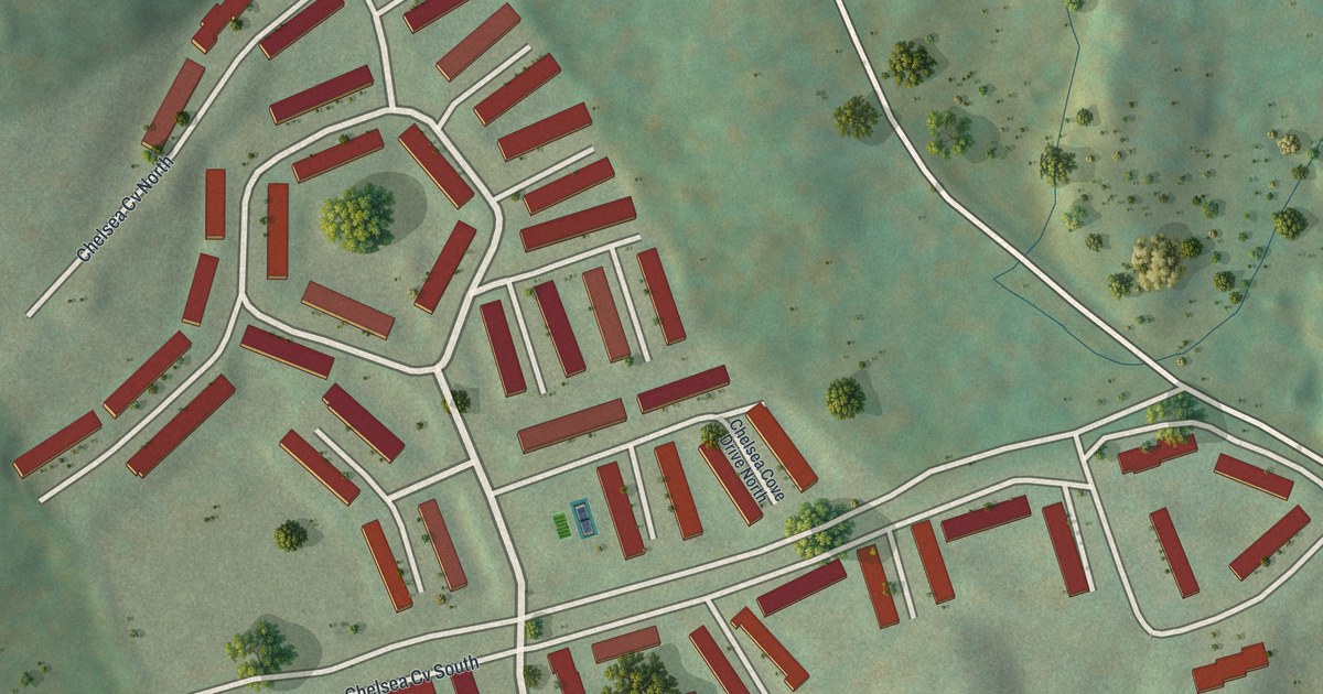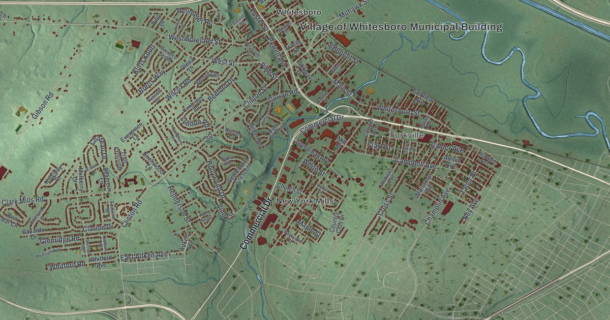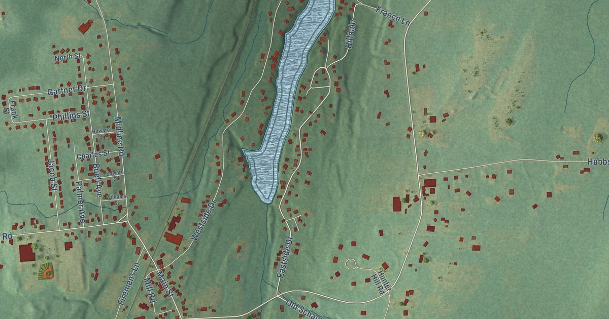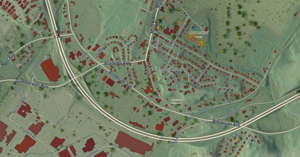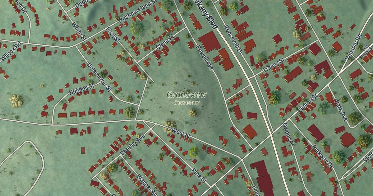
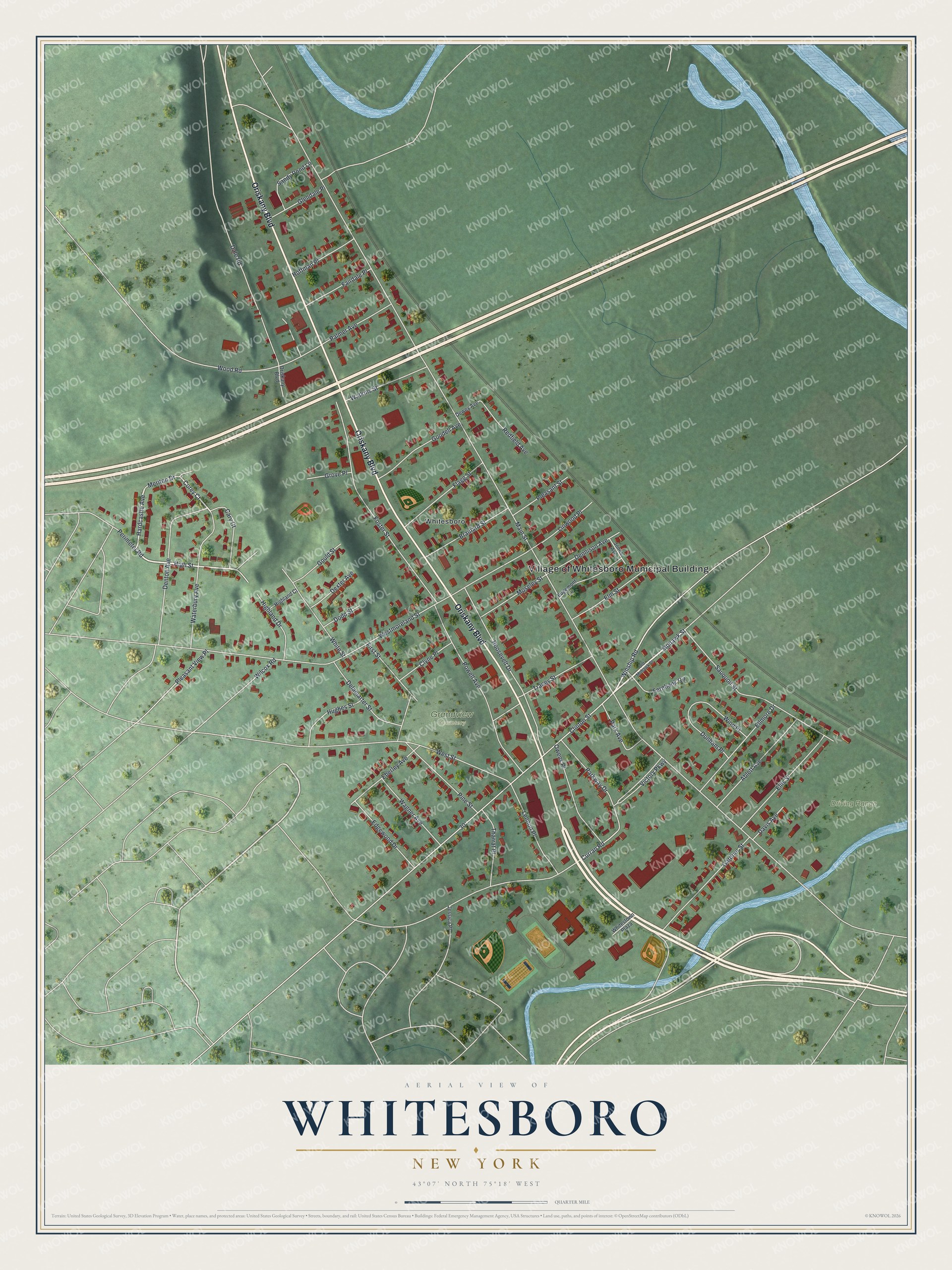
This beautifully detailed map of Whitesboro, New York was created in 2026 using aerial imagery combined with modern topographical, census, street and landmark data. It’s a one-of-a-kind view of Whitesboro that combines accurate data with a vintage aesthetic. The map shows every building in its true location, many of the roads carry their names, and the shaded topographic relief shows the shape of the land.
Explore an aerial view of Whitesboro, New York
On the map you’ll find Grandview Cemetery, along with Oriskany Boulevard, High Street, Mohawk Street, Hardcastle Avenue, Winship Road, and more. If you look closely you can even find your house accurately drawn in its correct location. Zoom in on the preview to look for yours.
Did You Know?
The village takes its name from Hugh White, an early settler. Settlement began in 1784, and the village was incorporated in 1813. From 1827 to 1843 it was home to the Oneida Institute, a school that stood against slavery.
Take a closer look at the Whitesboro map
Names on this map
These names are printed on this map.
Places: Village of Whitesboro Municipal Building, Driving Range, Grandview Cemetery and Whitesboro.
Streets and roads: Oriskany Boulevard, High Street, Mohawk Street, Hardcastle Avenue, Winship Road, Corey Court, Main Street, Westmoreland Street, Clinton Street, Foster Street, West Street, Curran Road.
More street names, A to Z
Ablett Avenue, Brainard Street, Cary Court, Clyne Place, Dale Road, Davis Avenue, Delamarter Street, Dennison Avenue, Denton Avenue, Dewey Avenue, Dexter Avenue, Dodd Street, Dunham Place, Eberley Avenue, Edgemont Circle, Edgewood Drive, Ellis Street, Ellmore Drive, Elm Street, Fairdale Place, Fernbank Circle, First Street, Flagg Street, Gardner Street, Glendale Place, Goodell Avenue, Gould Street, Grove Place, Highland Court, Highland Drive, Hoffman Place, Hughes Street, Jessica Place, Jones Avenue, Lennon Place, Linwood Place, Meriton Drive, Moseley Street, Old Mohawk Street, Owens Place, Palmer Avenue, Park Avenue, Parkway Drive, Perimeter Road, Pine Street, Pleasant Street, Pleasant View Place, Powell Avenue, Redfield Avenue, Roosevelt Drive, Sandy Pond Lane, Sauquoit Street, Tharrat Place, Tracey Street, Victory Parkway, Wagner Avenue, Waterbury Avenue, Watkins Street, Whitestown Plaza, White Street, Wilcox Road, Wind Place, Wood Road.
See it on a wall
The Whitesboro map as a framed print. Swipe for more.


This beautifully detailed map of Whitesboro makes an attractive addition to your office, library, or den, and it can even be used to teach children the geography and history of the area. It also makes a great gift for someone who left Whitesboro and still calls it home. When you’re done exploring, click here to get your copy of the Whitesboro map.