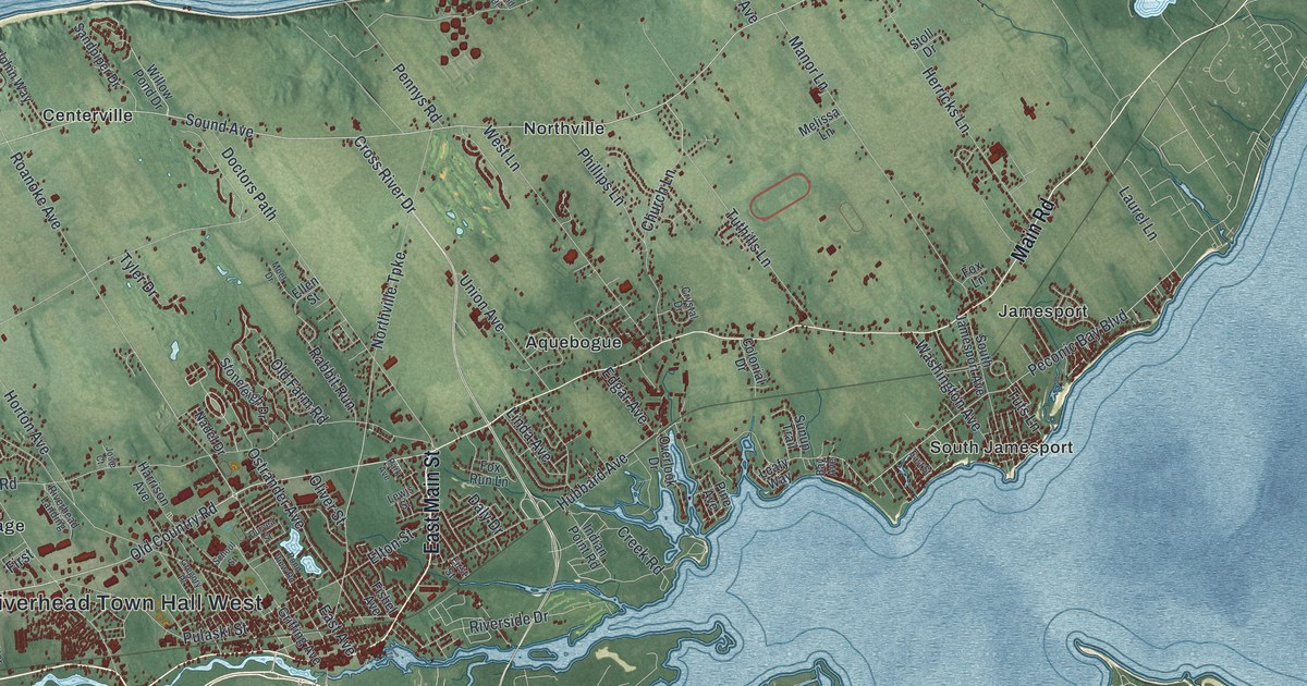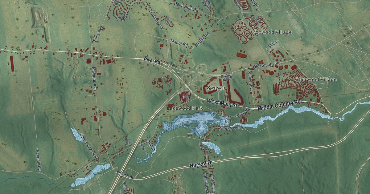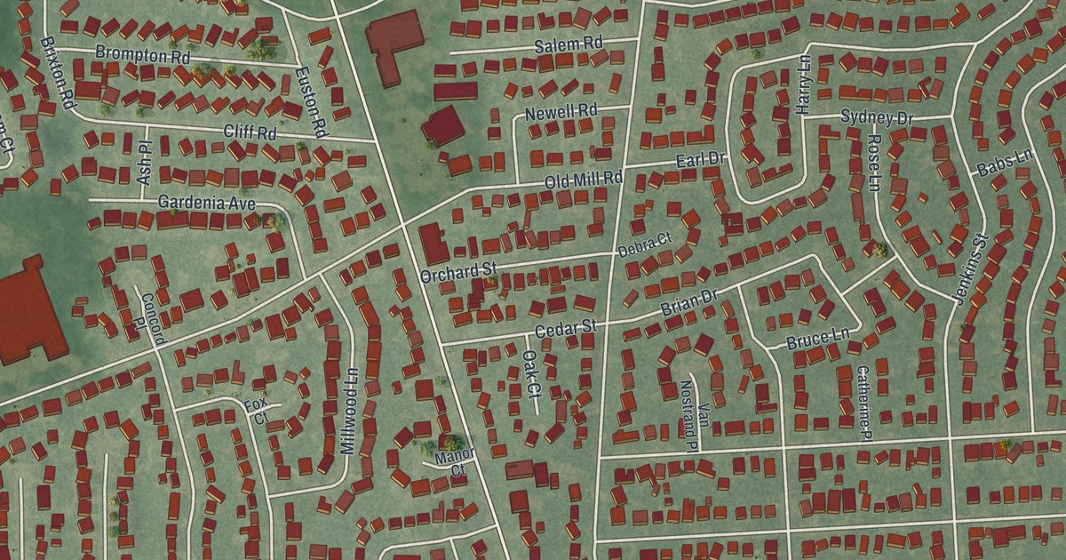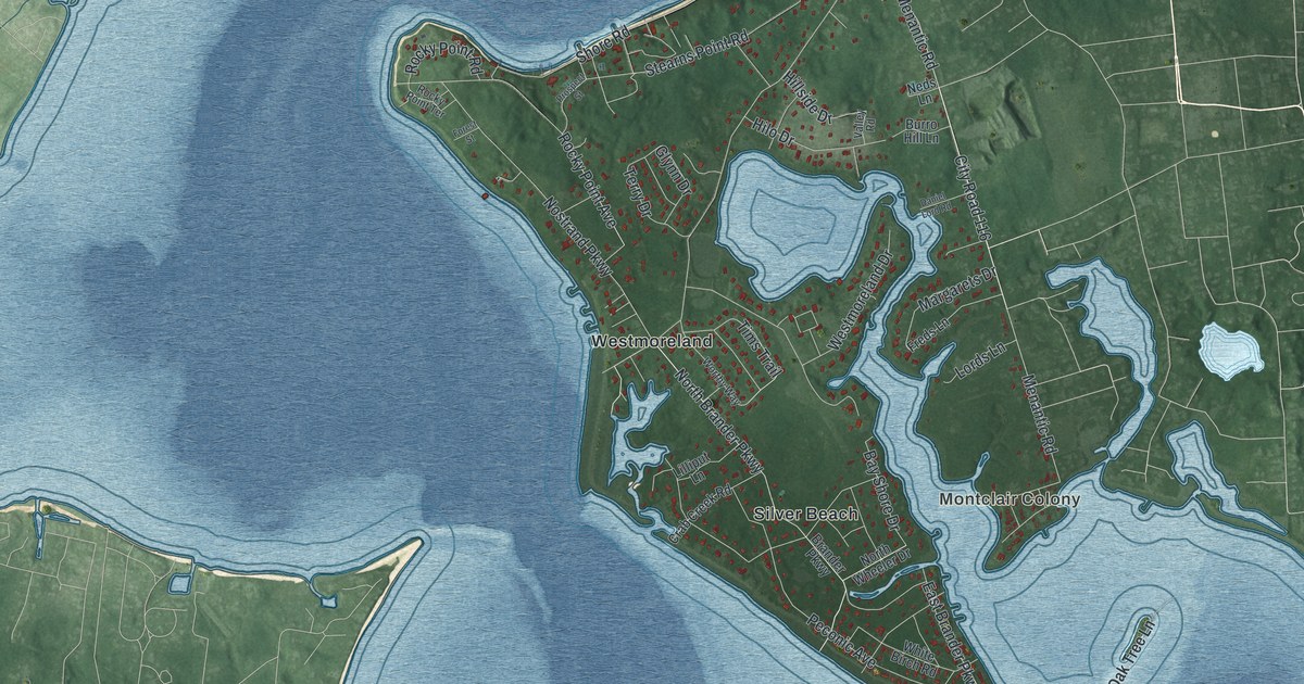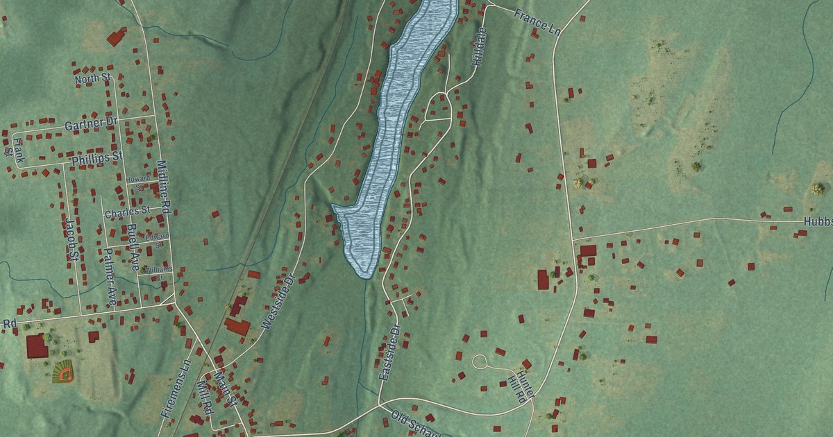
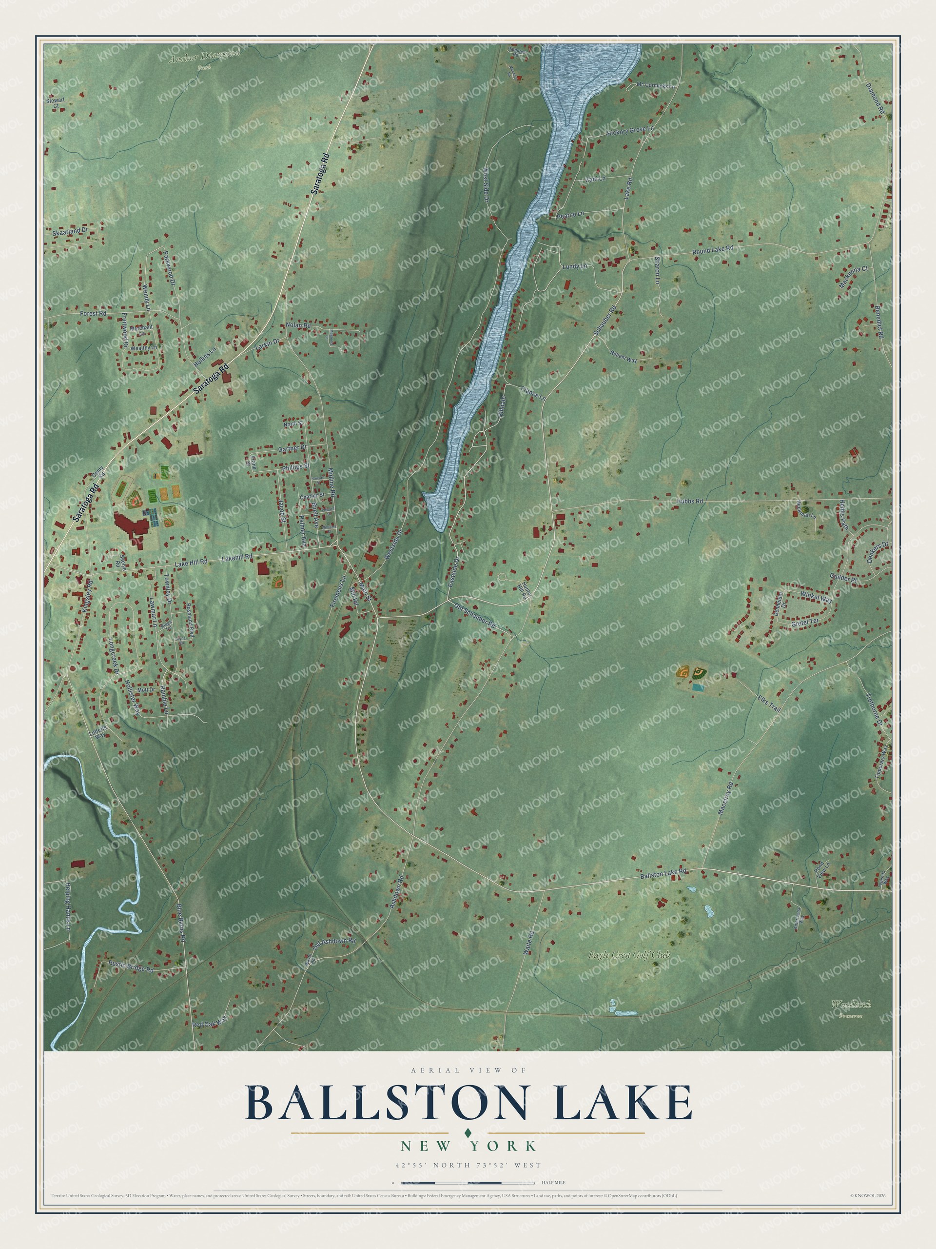
This beautifully detailed map of Ballston Lake, New York was created in 2026 using aerial imagery combined with modern topographical, census, street and landmark data. It’s a one-of-a-kind view of Ballston Lake that combines accurate data with a vintage aesthetic. The map shows every building in its true location, many of the roads carry their names, and the shaded topographic relief shows the shape of the land.
Explore an aerial view of Ballston Lake, New York
On the map you’ll find Anchor Diamond Park, Woodcock Preserve, and Eagle Crest Golf Club, along with Saratoga Road, Schauber Road, Eastside Drive, Main Street, Lakehill Road, Ballston Lake Road, Old Schauber Road, Lundy Lane, Wendy Lane, and more. If you look closely you can even find your house accurately drawn in its correct location. Zoom in on the preview to look for yours.
Did You Know?
From Internet Archive: "White settled on the east side of Ballston Lake, his homestead being on the site of the brick house for many years the Collamer residence."
Ballston Lake is a community in Saratoga County.
Take a closer look at the Ballston Lake map
Names on this map
These names are printed on this map.
Places: Anchor Diamond Park, Woodcock Preserve and Eagle Crest Golf Club.
Streets and roads: Saratoga Road, Schauber Road, Eastside Drive, Main Street, Lakehill Road, Ballston Lake Road, Old Schauber Road, Lundy Lane, Wendy Lane, Ramble Lane, Ashdown Road, Blue Barns Road.
More street names, A to Z
Americana Way, Benedict Road, Brynal Road, Buell Avenue, Charles Street, Denhelder Drive, Denkers Drive, Denty Road, Diamond Road, Edward Street, Elks Trail, Firemens Lane, Forest Road, France Lane, Frank Street, Fruitwood Drive, Gartner Drive, Gretel Terrace, Guilder Place, Hampton Road, Heckman Lane, Heidis Path, Helping Hands Lane, Hickory Grove Lane, Hilldale, Hollins Lane, Hollister Way, Howard Street, Hubbs Road, Hunter Hill Road, Jacob Street, Kingsley Road, Lake Hill Road, Lake Road, Larkin Drive, Lawmar Lane, Lefferts Way, Legends Way, Longcreek Drive, Macelroy Road, Mackenna Court, Magnolia Lane, Manning Road, Mc Cormicks Lane, Merchant Lane, Midline Road, Mill Road, Mott Drive, Nolan Road, North Street, Old Ashdown Road, Palmer Avenue, Parkwood Drive, Pearce Lane, Phillips Street, Pond View Lane, Red Oak Way, Ridge Terrace, Roseland Boulevard, Round Lake Road, Rustic Bridge Road, Seelye Road, Sharon Lane, Skaarland Drive, Stewart Court, Tipperary Way, Townley Drive, Trethorne Drive, Waite Road, Wayto Road, Wealthy Lane, Westside Drive, West Side Drive, Willem Way, Williams Street, Winkel Way, Zani Lane.
See it on a wall
The Ballston Lake map as a framed print. Swipe for more.


This beautifully detailed map of Ballston Lake makes an attractive addition to your office, library, or den, and it can even be used to teach children the geography and history of the area. It also makes a great gift for anyone with Ballston Lake roots. When you’re done exploring, click here to get your copy of the Ballston Lake map.