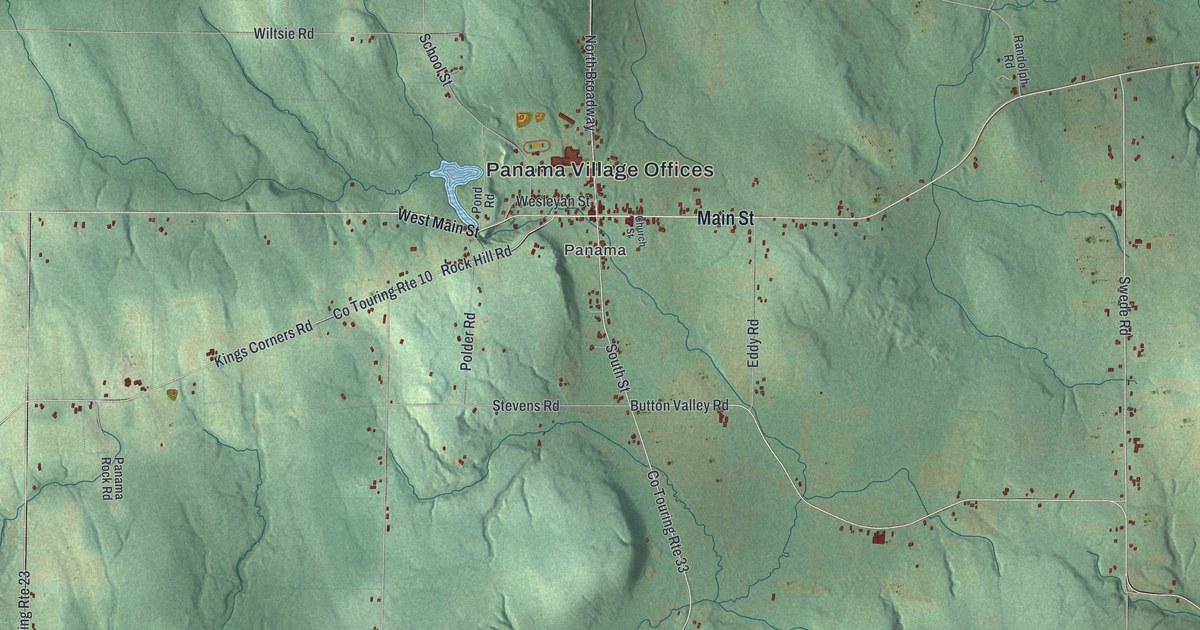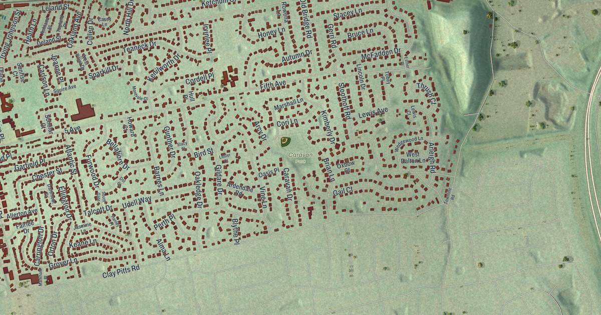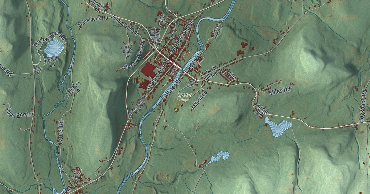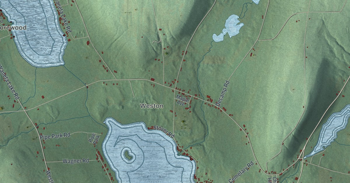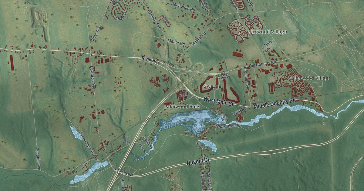
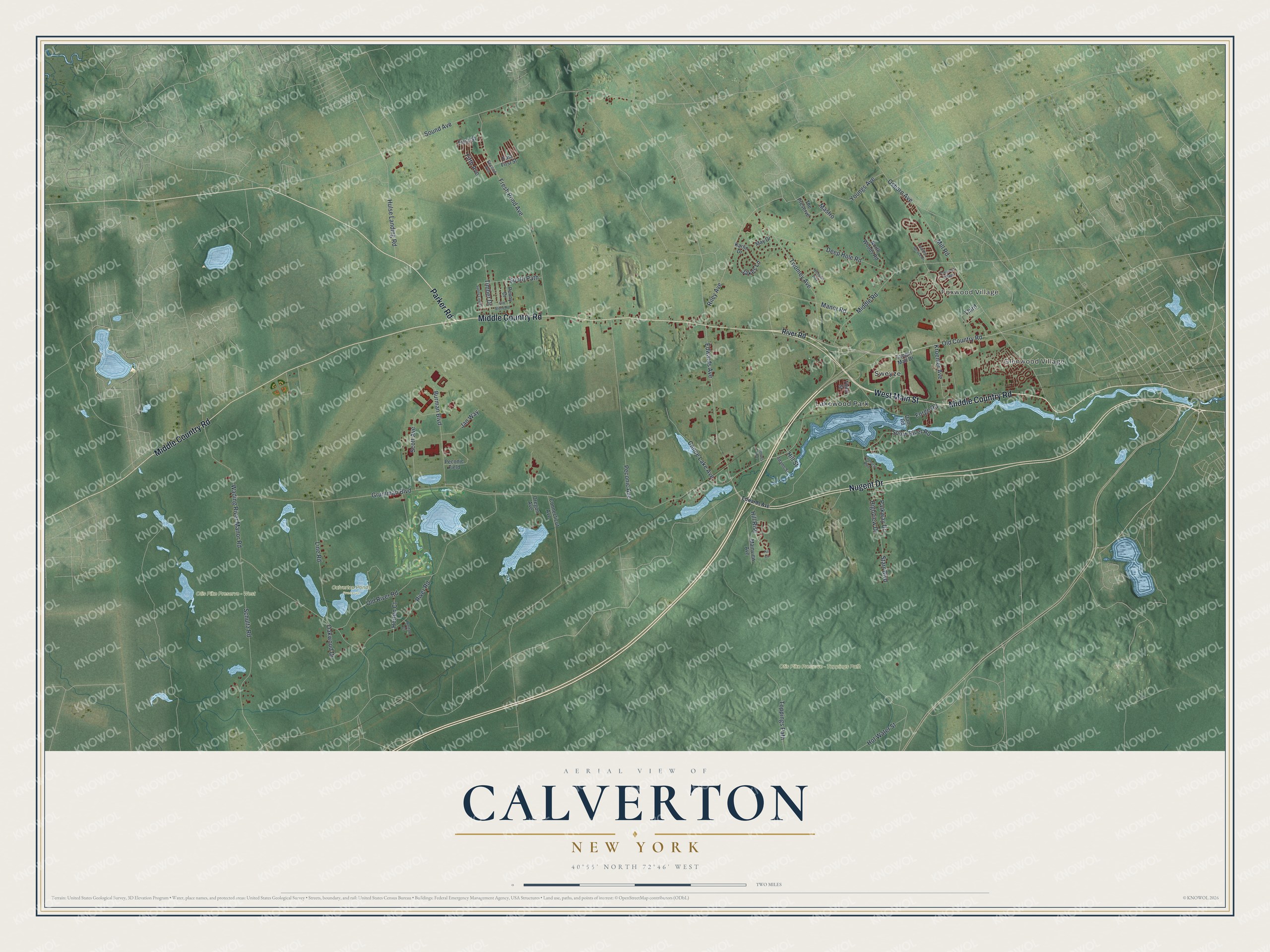
This beautifully detailed map of Calverton, New York was created in 2026 using aerial imagery combined with modern topographical, census, street and landmark data. It’s a one-of-a-kind view of Calverton that combines accurate data with a vintage aesthetic. The map shows every building in its true location, many of the roads carry their names, and the shaded topographic relief shows the shape of the land.
Explore an aerial view of Calverton, New York
On the map you’ll find Glenwood Village, Foxwood Village, Lakewood Park, Sweyze, Calverton Ponds Preserve, and Otis Pike Preserve – West, along with Main Street, Parker Road, Nugent Drive, Middle Country Road, Old Country Road, Otis Pike Preserve – Toppings Path, and more. If you look closely you can even find your house accurately drawn in its correct location. Zoom in on the preview to look for yours.
Did You Know?
When railroad tracks reached the area in 1844, Calverton was known as Baiting Hollow Station. In 1868 a post office opened, taking the name Calverton for Bernard J. Calvert. For years the place stayed a small farm community. Its growers raised cranberries in the swampy ground along the Peconic River.
Take a closer look at the Calverton map
Names on this map
These names are printed on this map.
Places: Glenwood Village, Foxwood Village, Calverton Ponds Preserve, Otis Pike Preserve - Toppings Path, Otis Pike Preserve - West, Lakewood Park and Sweyze.
Streets and roads: West Main Street, Parker Road, Nugent Drive, Middle Country Road, Old Country Road, Edwards Avenue, Sound Avenue, South River Road, Kroemer Avenue, Mill Road, River Road, Grumman Boulevard.
More street names, A to Z
Adams Street, Burman Boulevard, Canoe Lake Avenue, Connecticut Avenue, Dam Road, Deep Hole Road, East First Street, Fifth Avenue, First Street, Forge Road, Fresh Pond Avenue, Golden Spruce Drive, Highview Drive, Hill Circle, Hill Rise, Hill Street, Horten Court, Horton Court, Hot Water Street, Hulse Landing Road, Jakes Lane, Jan Way, Karlin Drive, Line Road, Mainview Avenue, Manor Road, Mastro, May Drive, Middle Road, Nicholas Way, North Woods Road, Oakwood Drive, Old River Road, Old Stone Road, Oregon Avenue, Osborn Avenue, Parkway Drive, Peconic Avenue, Peconic Field, Penny Drive, Pinehurst Boulevard, Reeves Avenue, Riley Avenue, Schultz Road, Scott Avenue, Second Avenue, South Path, Starr Boulevard, Sunny Line Drive, Tanger Mall Drive, The Preserve, Third, Third Street, Timber Drive, Toppings Path, Twomey Avenue, Wading River Manor Road, Youngs Avenue.
See it on a wall
The Calverton map as a framed print. Swipe for more.


This beautifully detailed map of Calverton makes an attractive addition to your office, library, or den, and it can even be used to teach children the geography and history of the area. It also makes a great gift for anyone who grew up in Calverton or moved away. When you’re done exploring, click here to get your copy of the Calverton map.