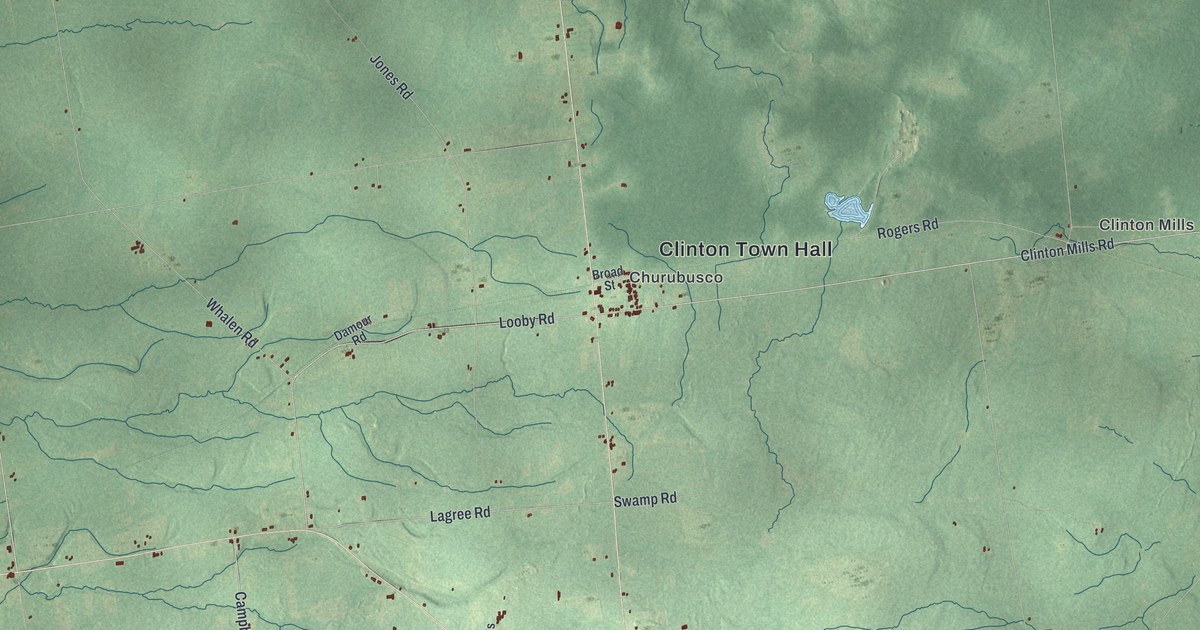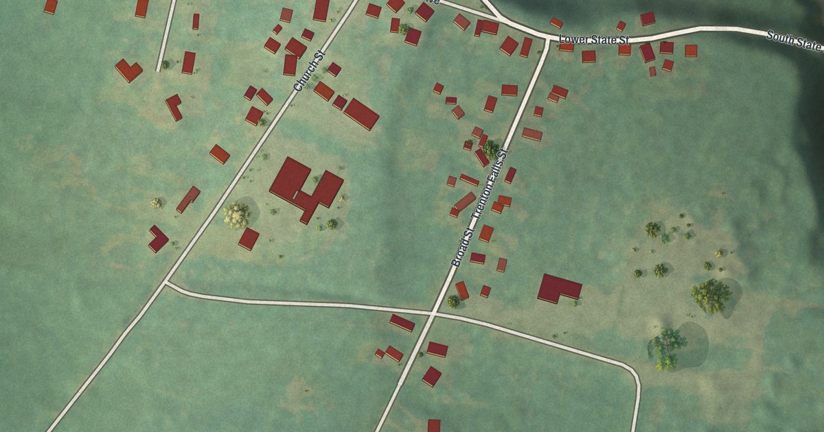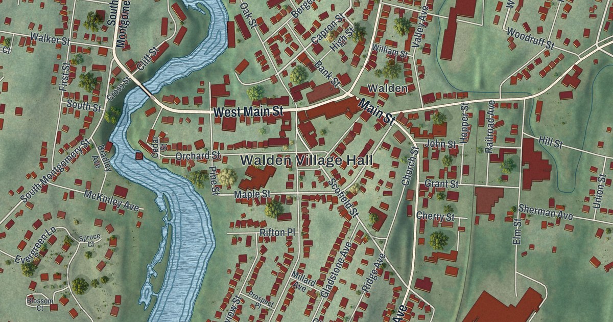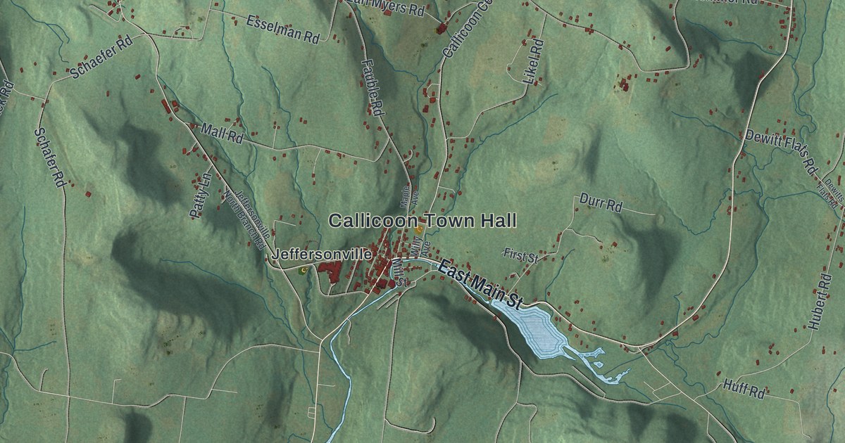
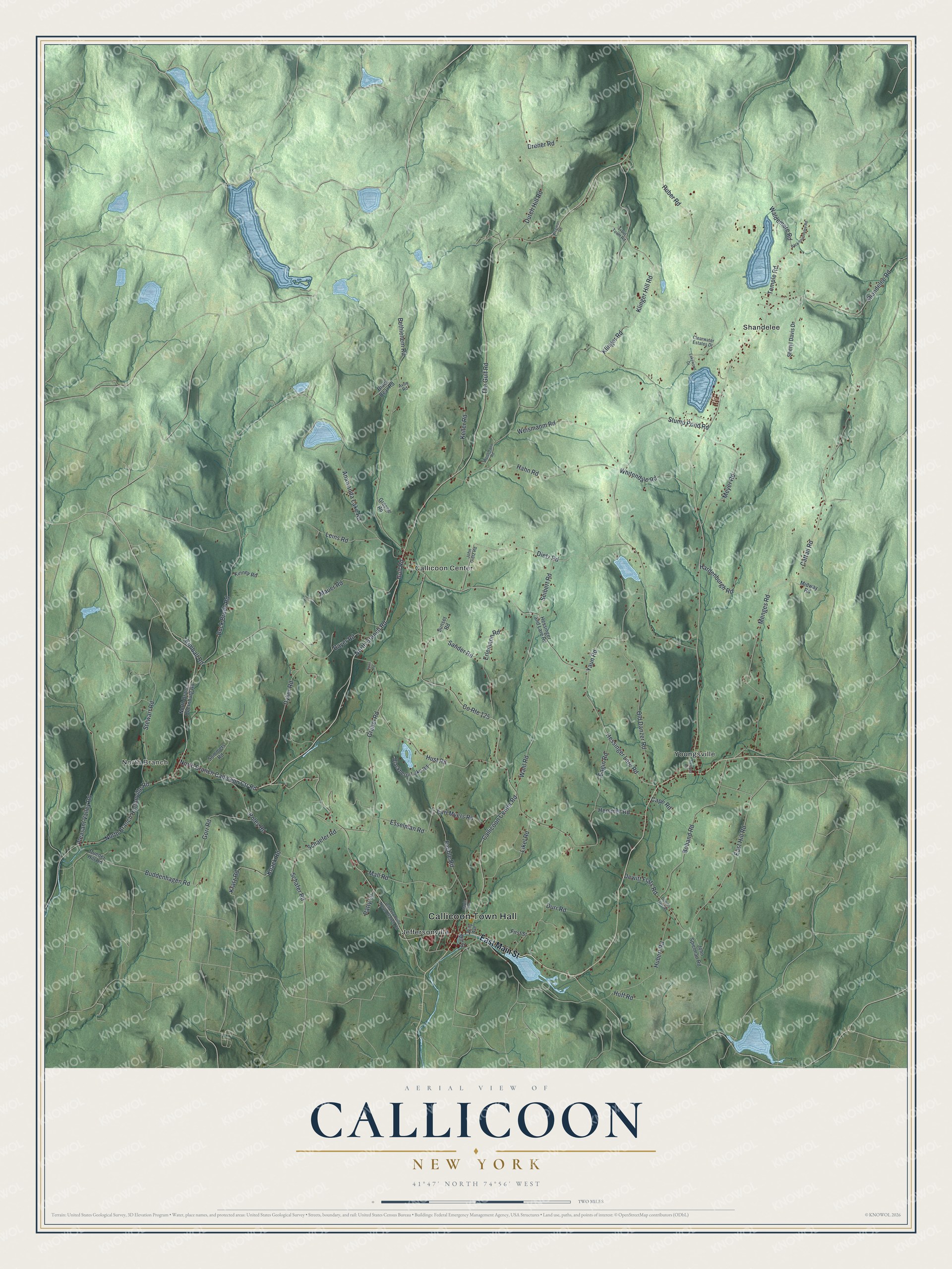
This beautifully detailed map of Callicoon, New York was created in 2026 using aerial imagery combined with modern topographical, census, street and landmark data. It’s a one-of-a-kind view of Callicoon that combines accurate data with a vintage aesthetic. The map shows every building in its true location, many of the roads carry their names, and the shaded topographic relief shows the shape of the land.
Explore an aerial view of Callicoon, New York
On the map you’ll find Callicoon Town Hall, North Branch, Callicoon Center, Jeffersonville, Shandelee, and Youngsville, along with Main Street, Branch Callicoon Ctr Road, Gulf Road, Callicoon Center Road, and more. If you look closely you can even find your house accurately drawn in its correct location. Zoom in on the preview to look for yours.
Did You Know?
Jeffersonville, a village in the town of Callicoon, was settled around 1830 and first called Winkelried. Its first hotel, the Jefferson House, was named for President Jefferson, and the village took that name. The hotel building still stands as the Abel Building.
Take a closer look at the Callicoon map
Names on this map
These names are printed on this map.
Places: Callicoon Town Hall, North Branch, Callicoon Center, Jeffersonville, Shandelee and Youngsville.
Streets and roads: East Main Street, North Branch Callicoon Ctr Road, County Route 125, Gulf Road, Callicoon Center Road, North Branch Road, The Gulf Road, Wahl Road, North Branch Hortonville Road, Buddenhagen Road, Kratz Road, Temple Road.
More street names, A to Z
Anawanda Lake Road, Avon Road, Back Shandelee Road, Bayer Road, Bethlehem Road, Black Bear Road, Blackberry Lake Road, Boband Road, Buck Brook Road, Cape Road, Cattail Road, Clearwater Estates Drive, Dewitt Flats Road, Dewitts Flats Road, Dietz Road, Dreher Road, Duener Hill Road, Durr Road, Dutch Hill Road, Dyker Road, Eagin Road, Earl Myers Road, East Hill Road, Erlemann Road, Esselman Road, Fauble Road, First Street, Gorr Road, Grebel Road, Greene Road, Hahn Road, Hardenburgh Road, Hemmer Road, Hessinger and Lare Road, Hessinger Lare Road, Huber Road, Hubert Road, Huff Road, Hust Road, Jeffersonville North Branch Road, John Dietz Road, John Spielman Road, Keller Road, Kimball Road, Kinney Road, Klinger Hill Road, Klinger Road, Knack Road, Lakewood Drive, Leins Road, Likel Road, Mall Road, Maple Avenue, Mauer Road, Menges Road, Meyer Road, Midway Road, Mill Street, North Branch Obernburg Road, Old Danzer Road, Patty Lane, Pleasant Valley Road, Poley Road, Ryan Road, Sander Road, Schaefer Road, Schafer Road, Seibert Road, Shandelee Road, Sheryl Davis Drive, Sommers Road, Stewart Road, Stump Pond Road, Sunset Road, Tremper Road, Trout Town Road, Waldemere Road, Wegman Road, Weismanm Road, Weissmann Road, Whitendale Road, Willy Avenue, Yaun Road.
See it on a wall
The Callicoon map as a framed print. Swipe for more.


This beautifully detailed map of Callicoon makes an attractive addition to your office, library, or den, and it can even be used to teach children the geography and history of the area. It also makes a great gift for anyone who grew up in Callicoon or moved away. When you’re done exploring, click here to get your copy of the Callicoon map.