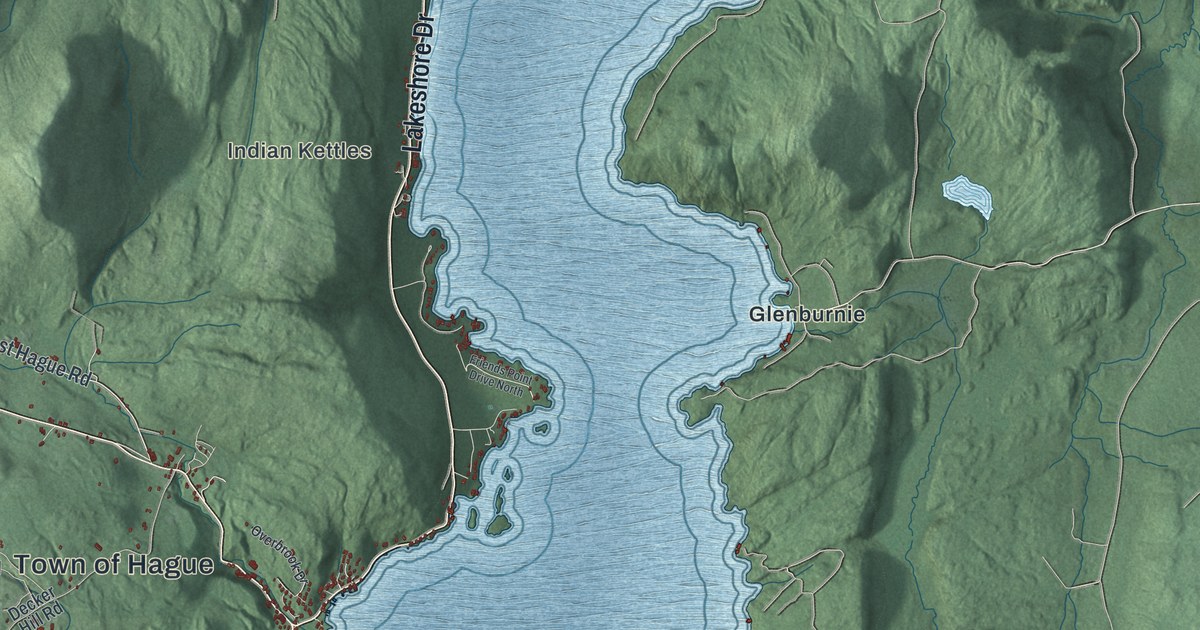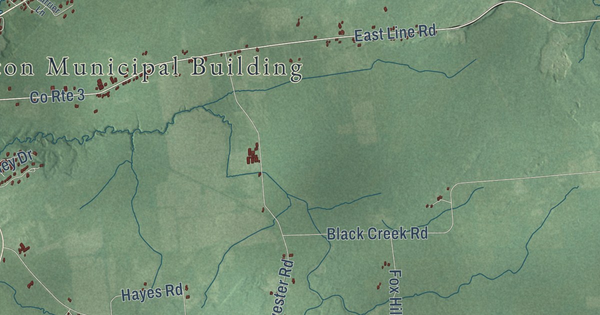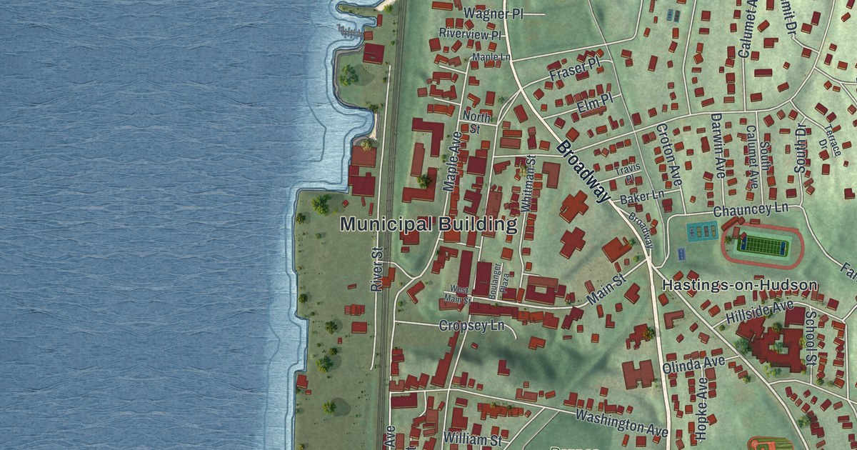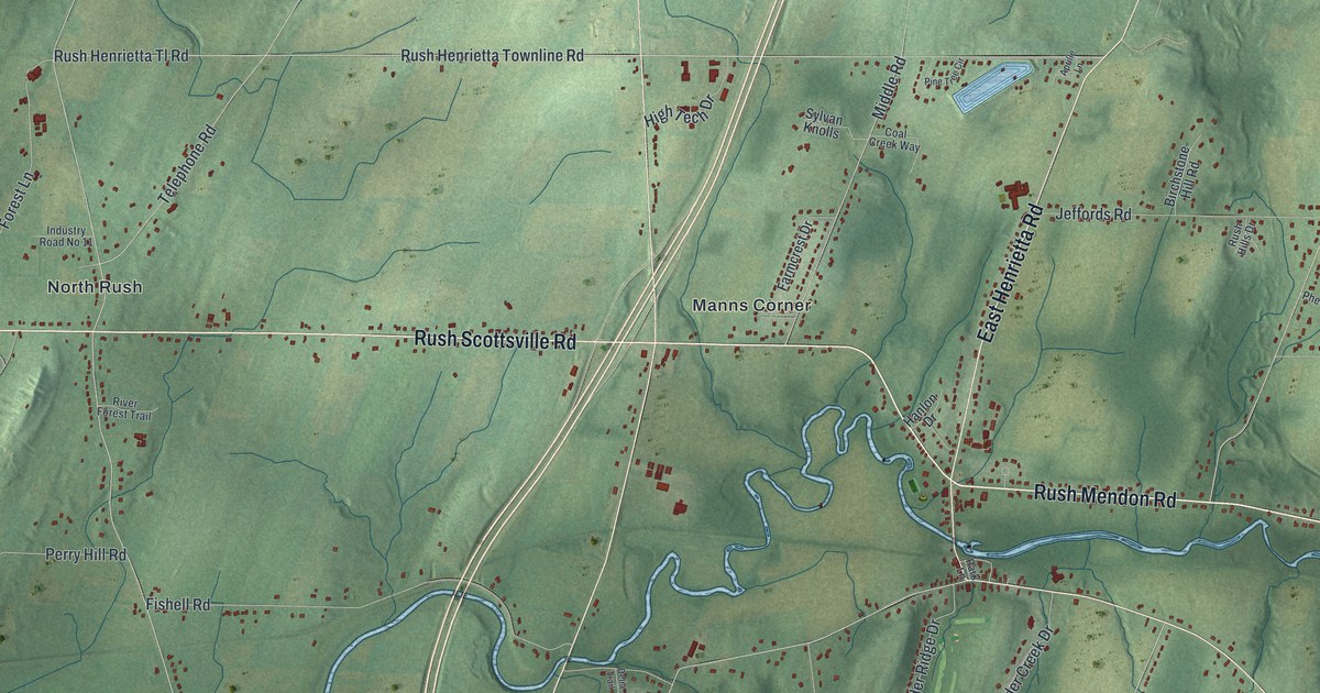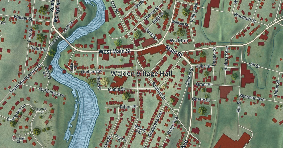
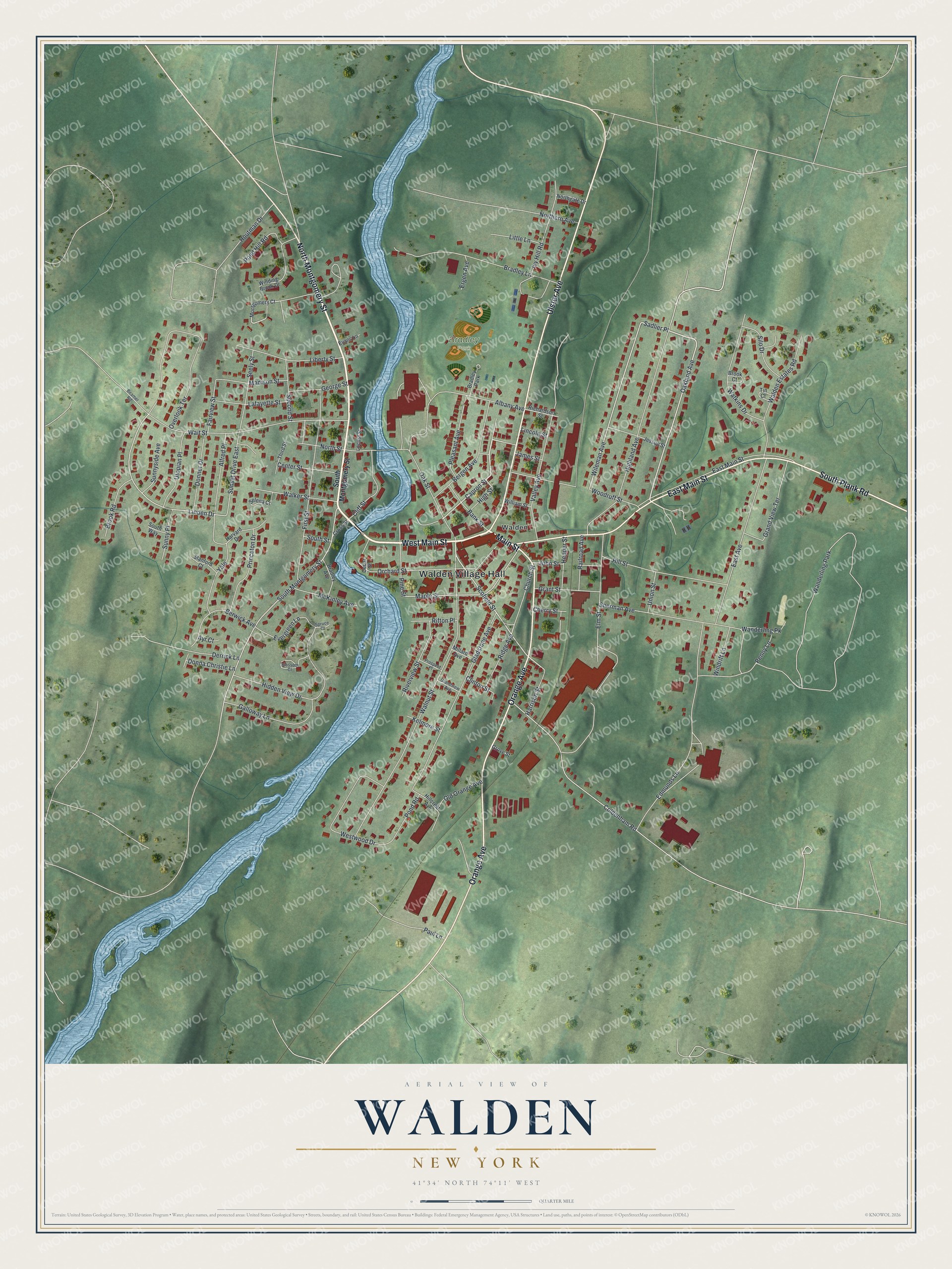
This beautifully detailed map of Walden, New York was created in 2026 using aerial imagery combined with modern topographical, census, street and landmark data. It’s a one-of-a-kind view of Walden that combines accurate data with a vintage aesthetic. The map shows every building in its true location, many of the roads carry their names, and the shaded topographic relief shows the shape of the land.
Explore an aerial view of Walden, New York
On the map you’ll find Walden Village Hall and Bradley Park, along with Main Street, Montgomery Street, Ulster Avenue, Orange Avenue, and more. If you look closely you can even find your house accurately drawn in its correct location. Zoom in on the preview to look for yours.
Did You Know?
In 1813 Jacob Treadwell Walden, a New York City businessman, started buying land on both banks of the Wallkill River. He built a dam above the Great Falls to power a mill. His mill thrived, turning out cotton and wool cloth by the 1820s. The settlement then took the name Walden’s Mills.
Take a closer look at the Walden map
Names on this map
These names are printed on this map.
Places: Walden Village Hall, Bradley Park, Walden and Wanderling Park.
Streets and roads: West Main Street, Main Street, North Montgomery Street, Ulster Avenue, Orange Avenue, East Main Street, South Plank Road, Oakland Avenue, Capron Street, Sadlier Place, Wileman Avenue, Scofield Street.
More street names, A to Z
Albany Avenue, Alfred Place, Ayr Court, Bank Street, Beamer Road, Bergen Avenue, Berwick Avenue, Blossom Court, Bradley Avenue, Bradley Lane, Brook Court, Brook Road, Cedar Street, Center Street, Cherry Street, Church Street, Cliff Street, Clinton Street, Coldenham Road, Cross Street, Derrick Lane, Donna Christie Lane, Donner Drive, East Avenue, Edmunds Lane, Elm Street, Ergen Avenue, Evans Lane, Evergreen Lane, Fairview Street, First Street, Galloway Lane, George Street, Gladstone Avenue, Grandview Avenue, Grand View Terrace, Grant Street, Grove Street, Harrison Street, Harvard Drive, Hepper Street, Hidden View Drive, Highland Avenue, High Street, Hillcrest Avenue, Hill Street, Houtman Drive, Ivy Hill Road, James Street, Jessup Street, John Street, Kelmore Street, Lafayette Street, Liberty Street, Lincoln Street, Linden Drive, Little Lane, Locust Street, Madison Street, Maple Street, McKinley Avenue, Millard Avenue, Montgomery Court, Northern Avenue, Northgate Drive, North Street, Oak Street, Old Orange Avenue, Orchard Street, Overlook Terrace, Paul Lane, Penny Lane, Pine Street, Pleasant Avenue, Pond Hill Road, Pond Road, Princeton Drive, Prospect Place, Railroad Avenue, Richardson Street, Ridge Avenue, Rifton Place, Riverview Street, Second Street, Seely Street, Selena Court, Sherman Avenue, Silo Drive, South Montgomery Street, South Street, South Way, Spruce Court, Stanford Court, Sunny Place, Sunnyside Avenue, Sunset Drive East, Third Street, Tin Court, Union Street, Utopian Place, Valley Avenue, Wait Street, Walden Estates Road, Walker Street, Walnut Street, Wanderling Pk, Watkins Drive, Westwood Drive, William Street, Winding Brook Drive, Windrift Lane, Woodruff Street, Yale.
See it on a wall
The Walden map as a framed print. Swipe for more.


This beautifully detailed map of Walden makes an attractive addition to your office, library, or den, and it can even be used to teach children the geography and history of the area. It also makes a great gift for someone who left Walden and still calls it home. When you’re done exploring, click here to get your copy of the Walden map.