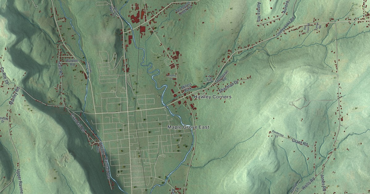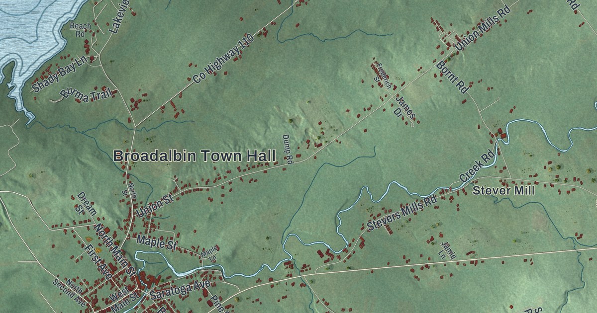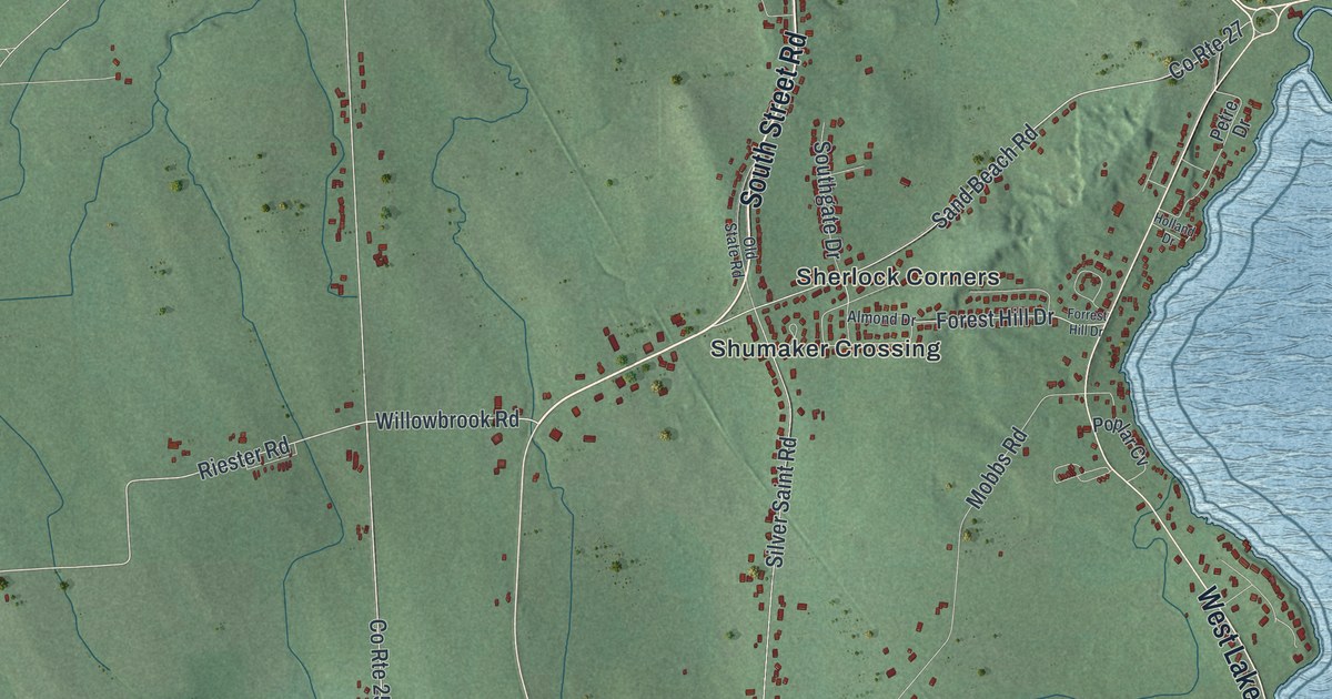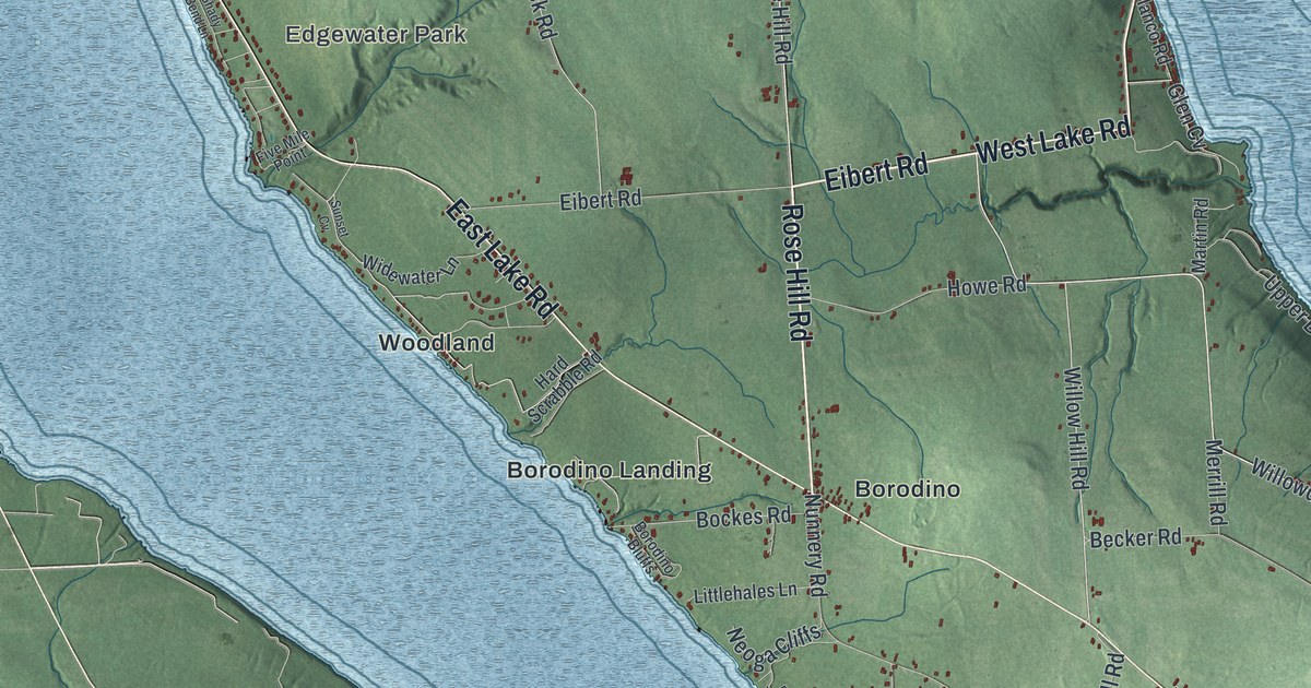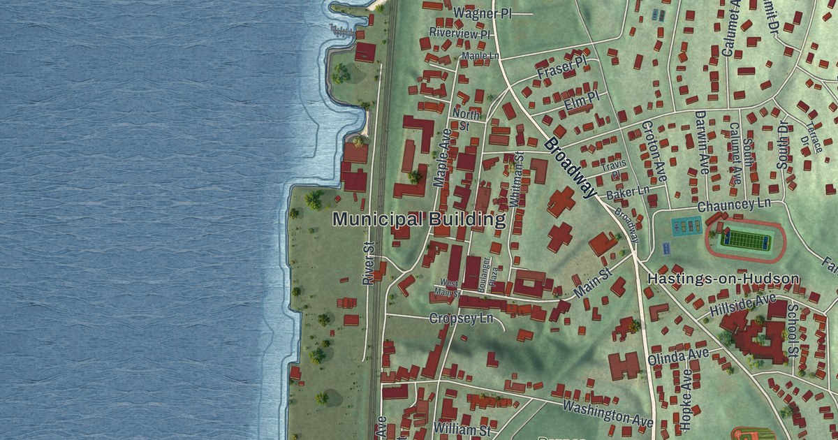
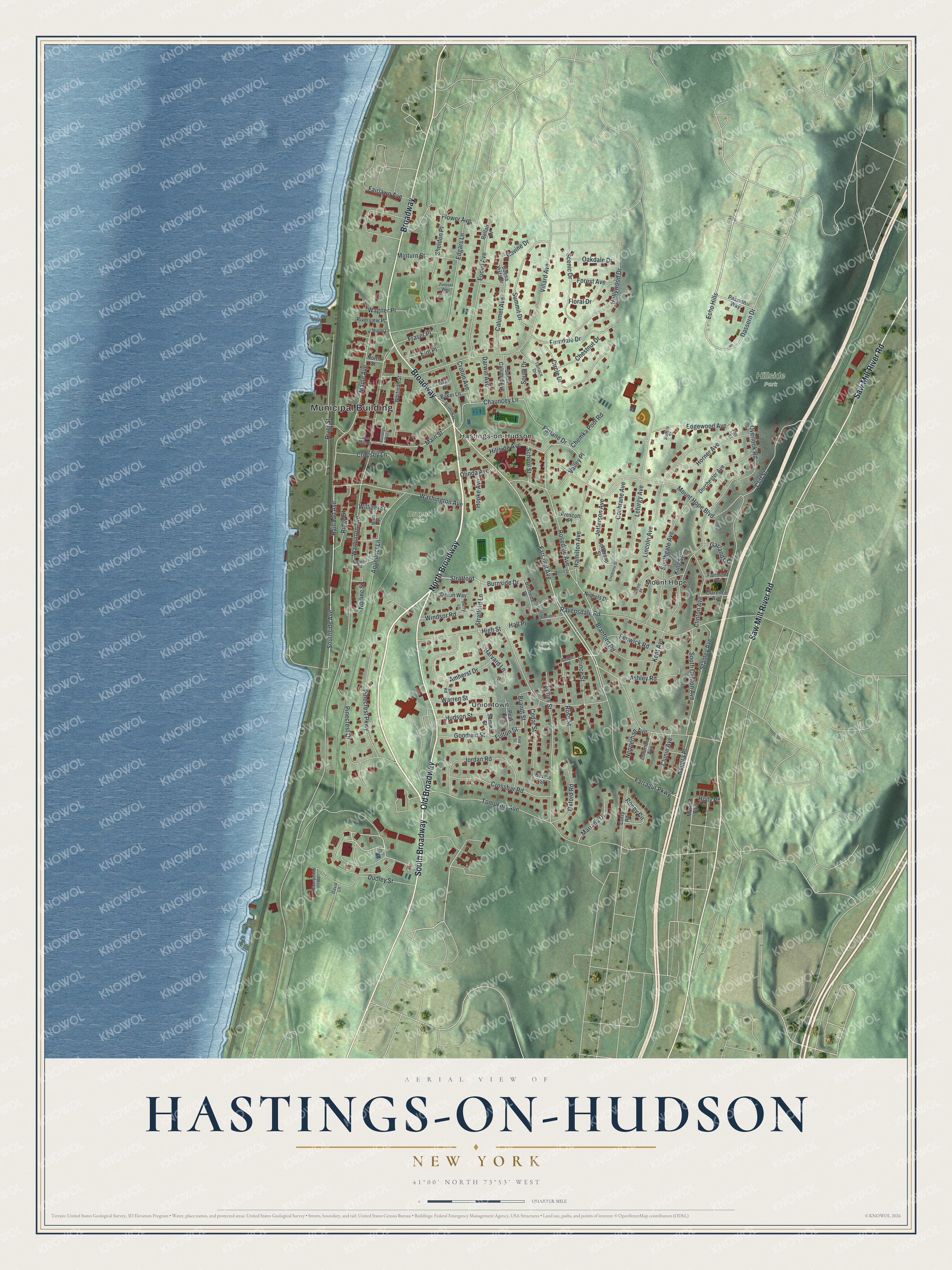
This beautifully detailed map of Hastings-on-Hudson, New York was created in 2026 using aerial imagery combined with modern topographical, census, street and landmark data. It’s a one-of-a-kind view of Hastings-on-Hudson that combines accurate data with a vintage aesthetic. The map shows every building in its true location, many of the roads carry their names, and the shaded topographic relief shows the shape of the land.
Explore an aerial view of Hastings-on-Hudson, New York
On the map you’ll find Municipal Building, North Broadway, South Broadway, Old Broadway, Mount Hope, Uniontown, Hillside Park, and Draper Park, along with Saw Mill River Road, and more. If you look closely you can even find your house accurately drawn in its correct location. Zoom in on the preview to look for yours.
Did You Know?
During the Revolution this area sat in the Neutral Ground, raided by both armies. Tenant farmer Peter Post had a part in the Battle of Edgar’s Lane, a small American victory fought near his house. In 1785 he bought his farm and opened a tavern. His land became the center of the village.
Take a closer look at the Hastings-on-Hudson map
Names on this map
These names are printed on this map.
Places: Municipal Building, Hillside Park, Draper Park, Pulver's Woods, Hastings-on-Hudson, Mount Hope and Uniontown.
Streets and roads: North Broadway, South Broadway, Old Broadway, Saw Mill River Road, Broadway, Farragut Avenue, Dassern Drive, Burnside Drive, Ravine Drive, Main Street, Stratford, Fulton Street.
More street names, A to Z
Amherst Drive, Aqueduct Lane, Ashley Road, Baker Lane, Bellair Drive, Bevers Street, Boulanger Plaza, Brandt Street, Branford Road, Buena Vista Drive, Burnside Place, Calumet Avenue, Cedar Street, Chauncey Lane, Chemka Pool Road, Chestnut Drive, Circle Drive, Clarence Avenue, Cliff Street, Clinton Avenue, Clunie Avenue, Cochrane Avenue, Cochrane Street, Columbia Avenue, Cropsey Lane, Crossbar Road, Croton Avenue, Curry Road, Darwin Avenue, David Lane, Derry Lane, Devon Way, Dorchester Avenue, Dudley Street, Echo Hills, Edgars Lane, Edgewood Avenue, Elm Place, Euclid Avenue, Fairlawn Avenue, Fairmont Avenue, Farlane Drive, Farragut Parkway, Fenwick Road, Ferndale Drive, Floral Drive, Flower Avenue, Forest Avenue, Fraser Place, Garland Drive, Glenn Place, Goodwin Street, Green Street, Hall Place, Hamilton Avenue, Harvard Lane, High Street, Hillside Avenue, Holly Place, Hollywood Drive, Hopke Avenue, Horner Avenue, Hudson Street, James Street, Jefferson Avenue, Jefferson Street, Jordan Road, Kent Avenue, King Street, Lefurgy Avenue, Lincoln Avenue, Maple Avenue, Maple Lane, Mariana Drive, Marion Avenue, Merrill Street, Minturn Street, Mount Hope Boulevard, Nepera Place, Nepperhan Avenue, Nichols Drive, Nodine Street, North Street, Oakdale Drive, Olinda Avenue, Overlook Road, Oxford Road, Passion Way, Pearl Street, Pinecrest Drive, Pinecrest Parkway, Pine Street, Prescott Place, Prince Street, Quarry Road, Railroad Avenue, Ravensdale Road, Ridge Street, Riverpointe Road, River Street, Riverview Place, Ronny Circle, Rosedale Avenue, Rose Street, Saunders Street, Scenic Drive, School Street, Sheldon Place, South Calumet Avenue, South Clinton Avenue, South Drive, Southgate Avenue, Southside Avenue, Stanley Avenue, Stratford Lane, Summit Drive, Summit Street, Sunset Street, Taft Street, Terrace Drive, Tompkins Avenue, Travis Place, Valley Place, Villard Avenue, Wagner Place, Warburton Avenue, Ward Street, Warren Street, Washington Avenue, West Main Street, Whitman Street, William Street, Windsor Road, Yale Road, Zinsser Way.
See it on a wall
The Hastings-on-Hudson map as a framed print. Swipe for more.


This beautifully detailed map of Hastings-on-Hudson makes an attractive addition to your office, library, or den, and it can even be used to teach children the geography and history of the area. It also makes a great gift for anyone who grew up in Hastings-on-Hudson or moved away. When you’re done exploring, click here to get your copy of the Hastings-on-Hudson map.