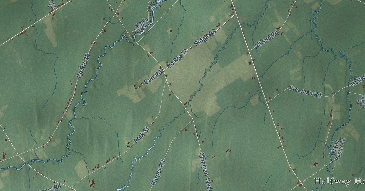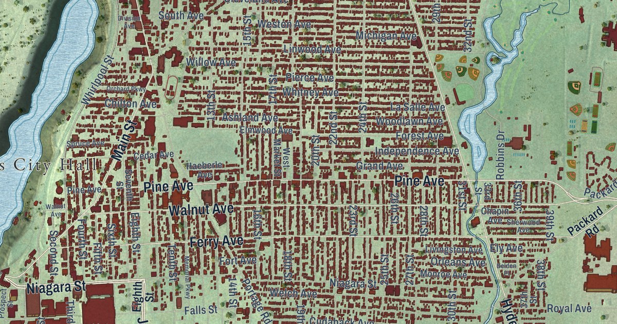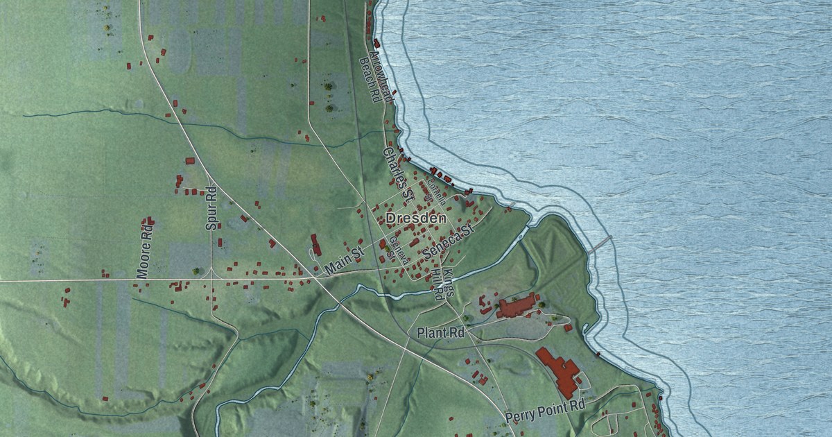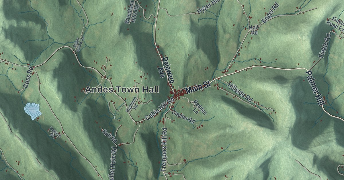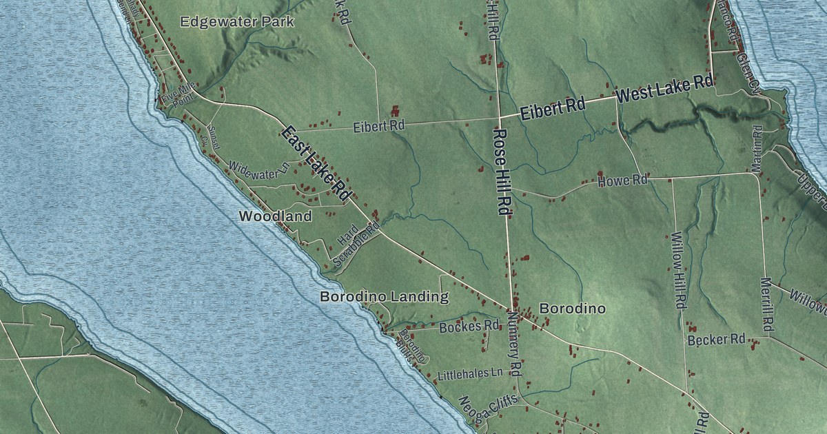
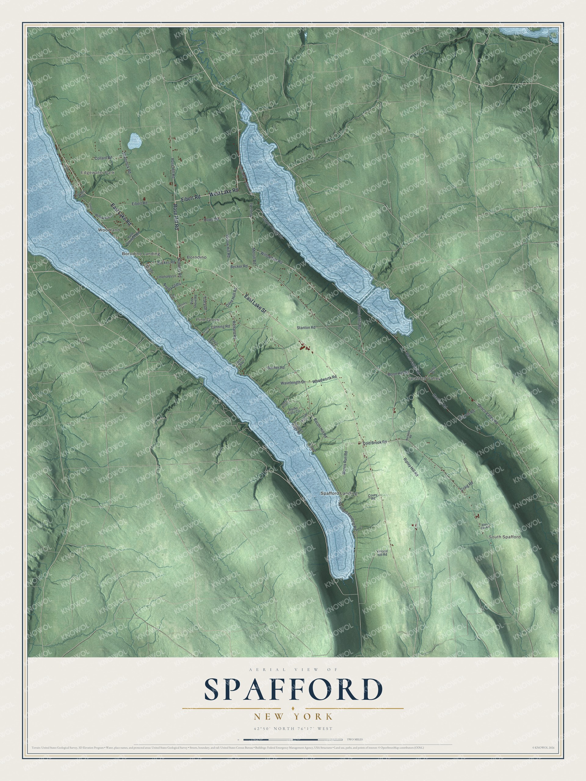
This beautifully detailed map of Spafford, New York was created in 2026 using aerial imagery combined with modern topographical, census, street and landmark data. It’s a one-of-a-kind view of Spafford that combines accurate data with a vintage aesthetic. The map shows every building in its true location, many of the roads carry their names, and the shaded topographic relief shows the shape of the land.
Explore an aerial view of Spafford, New York
On the map you’ll find Edgewater Park, South Spafford, Borodino, Borodino Landing, and Pine Grove, along with Rose Hill Road, Eibert Road, Lake Street, Lake Road, Willowdale Road, and more. If you look closely you can even find your house accurately drawn in its correct location. Zoom in on the preview to look for yours.
Did You Know?
Spafford carries the name of Horatio Gates Spafford. He was a writer, and he started the local library. The first European settler came in 1794, when this was military tract land. Spafford became its own town in 1811, made from pieces of Marcellus, Sempronius and Tully.
Take a closer look at the Spafford map
Names on this map
These names are printed on this map.
Places: Edgewater Park, South Spafford, Borodino, Borodino Landing, Pine Grove, Spafford Landing, Spafford Valley and Woodland.
Streets and roads: Rose Hill Road, Eibert Road, East Lake Street, East Lake Road, West Lake Road, Willowdale Road, Willow Hill Road, Ripley Hill Road, Wavelength Drive, Cold Brook Road, Spafford Landing Road, Becker Road.
More street names, A to Z
Allen Gay Road, Bacher Road, Bacon Hill Road, Basin Brook Lane, Bockes Road, Borodino Bluffs, Bucktail Road, Church Hill Road, Church Road, Collard Road, Covey Road, Craig Road, Dave Hull Road, Five Mile Point, Glen Cv, Gray's Landing, Hard Scrabble Road, Holzwarth Lane, Howe Road, Jacks Way, Landing Road, Lanning Road, Littlehales Lane, Martin Road, Masters Road, Merrill Road, Moon Hill Road, Morris Run Road, Neoga Cliffs, Nunnery Road, Olanco Road, Otisco Valley Road, Pine Grove Road, Precipice Ridge Road, Red Tail Lane, Richard Road, Rocky Falls Circle, Sanctuary Lane, Sawmill Road, Shady Bend Lane, Shamrock Road, Stanton Road, Sunset Cv, Tracy Drive, Upper Burma Road, Vincent Hill Road, West Valley Road, Widewater Lane, Winslup Circle, Woodworth Road.
See it on a wall
The Spafford map as a framed print. Swipe for more.


This beautifully detailed map of Spafford makes an attractive addition to your office, library, or den, and it can even be used to teach children the geography and history of the area. It also makes a great gift for someone who left Spafford and still calls it home. When you’re done exploring, click here to get your copy of the Spafford map.