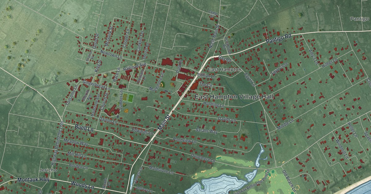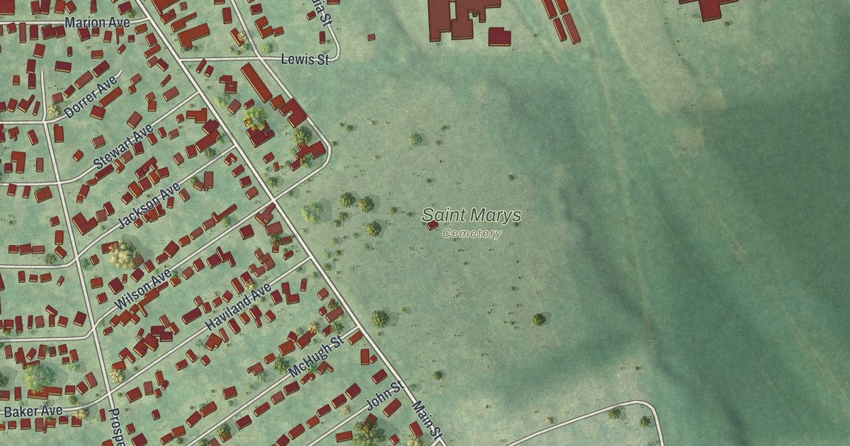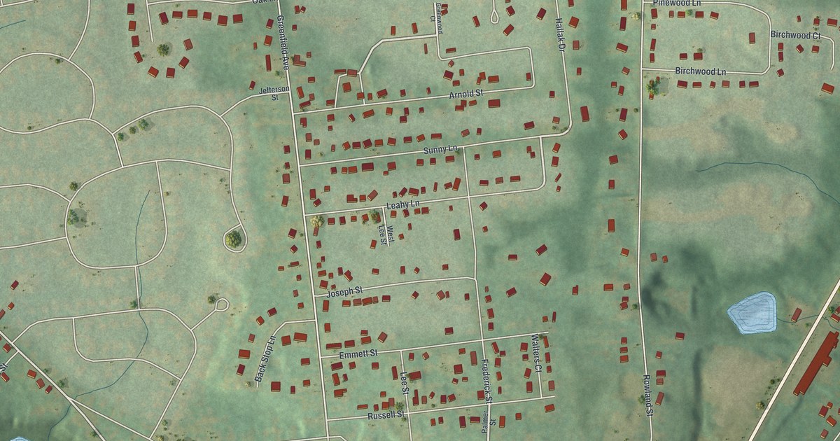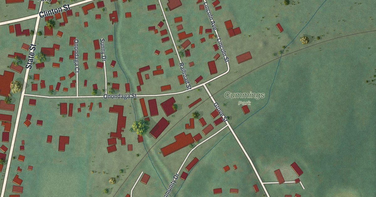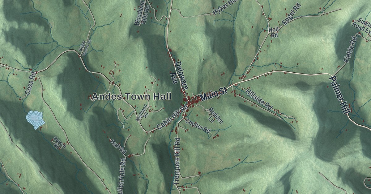
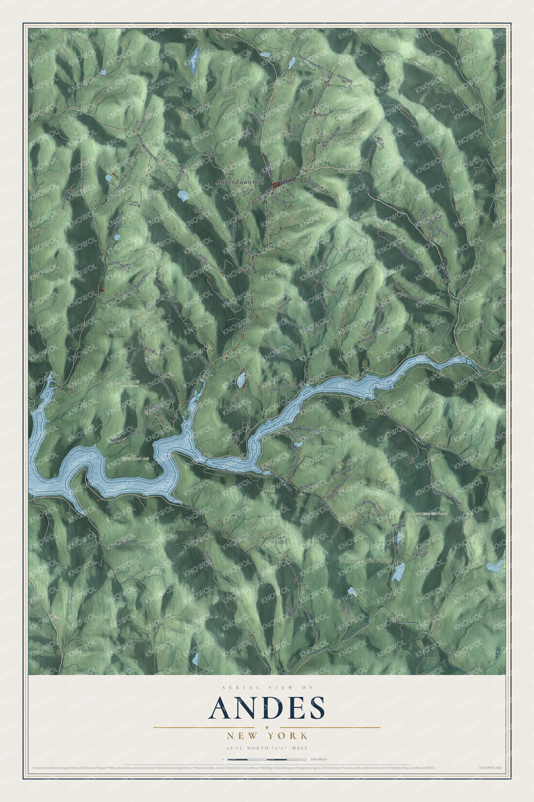
This beautifully detailed map of Andes, New York was created in 2026 using aerial imagery combined with modern topographical, census, street and landmark data. It’s a one-of-a-kind view of Andes that combines accurate data with a vintage aesthetic. The map shows every building in its true location, many of the roads carry their names, and the shaded topographic relief shows the shape of the land.
Explore an aerial view of Andes, New York
On the map you’ll find Andes Town Hall, Palmer Hill, Delaware Wild Forest, Dry Brook Ridge Wild Forest, and Murphy Hill State Forest, along with Main Street, Delaware Avenue, Tremperskill Road, and more. If you look closely you can even find your house accurately drawn in its correct location. Zoom in on the preview to look for yours.
Did You Know?
Andes got its name from a joke. When the town was formed in 1819, Daniel H. Burr saw that it took in some of the hilliest land in the county. He said it ought to be called Andes, and the name stuck.
Take a closer look at the Andes map
Names on this map
These names are printed on this map.
Places: Andes Town Hall, Delaware Wild Forest, Dry Brook Ridge Wild Forest, Flynn Brook Unit and Murphy Hill State Forest.
Streets and roads: Main Street, Palmer Hill, Tremperskill Road, Gladstone Hollow Road, Trempers Kill Road, Cabin Hill Road, Nyc Road No 6, Bws Road No 8, Hillside Road, Weaver Hollow Road, Wolf Hollow Road, Fall Clove Road.
More street names, A to Z
Alten Road, Amburg Road, Andes-Delancey Road, Bald Eagle Lane, Barkaboom Road, Barnes Hill Road, Barnhart Road, Beech Hill Ridge Road, Beech Hill Road, Bigger Hollow Road, Blackberry Lane, Brace Hollow Road, Broadchannel Road, Brower Hill Road, Bullet Hole Road, Bush Hill Road, Bussey Hollow Road, Butler Road, Calhoun Hill Road, Canada Hollow Road, Carpino Road, Carr Road, Chapell Road, Clarke Lane, Close Hollow Road, Close Road, Coss Road, Coulter Road, Crescent Hill Road, Crescent Lane, Cross Mountain Road, Davis Hollow Road, Deerlick Brook Road, Delaware Avenue, Dibble Road, Doig Hollow Road, Engel Road, Felton Road, Finkle Road, Finkle Road Extension, Firment Road, Fish Hollow Road, Gambichler Road, Grommeck Road, Gulf Brook Road, Harsch Road, Herr Road, Highland Road, Holt Road, Hyzer Hill Road, Jennie Archer Road, Jones Hollow Road, Lakeview Estates Road, Laurel Lake Lane, Liddle Road, Little Dingle Hill Road, Lower Dingle Hill Road, Martins Road, Mary Smith Hill Road, Minor Road, Mountain Lake Road, Mud Lake Road, Murphy Hill Road, Nichols Lane, Perch Lake Road, Post Road, Redden Lane, Rehor Road, Rich Road, Ridge Road, Ruff Road, Shaver Hill Road, Shaver Hollow Road, Skunk Hollow Road, Skyline Drive, State Road, Stevens Road, Tunis Lake Road, Turkey Hollow Road, Upper Dingle Hill Road, Upper Liddle Road, Upper Perch Lake Road, Vinci Brook Road, Woodland Hills Road.
See it on a wall
The Andes map as a framed print. Swipe for more.


This beautifully detailed map of Andes makes an attractive addition to your office, library, or den, and it can even be used to teach children the geography and history of the area. It also makes a great gift for anyone with Andes roots. When you’re done exploring, click here to get your copy of the Andes map.