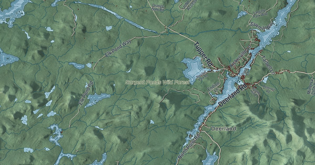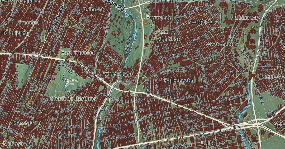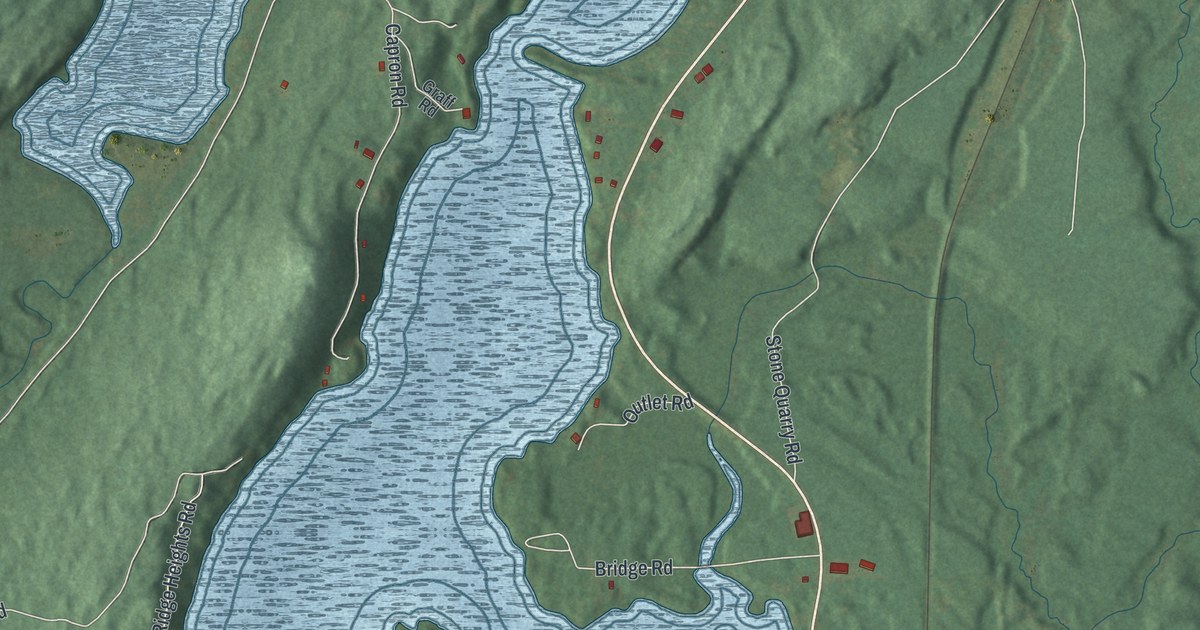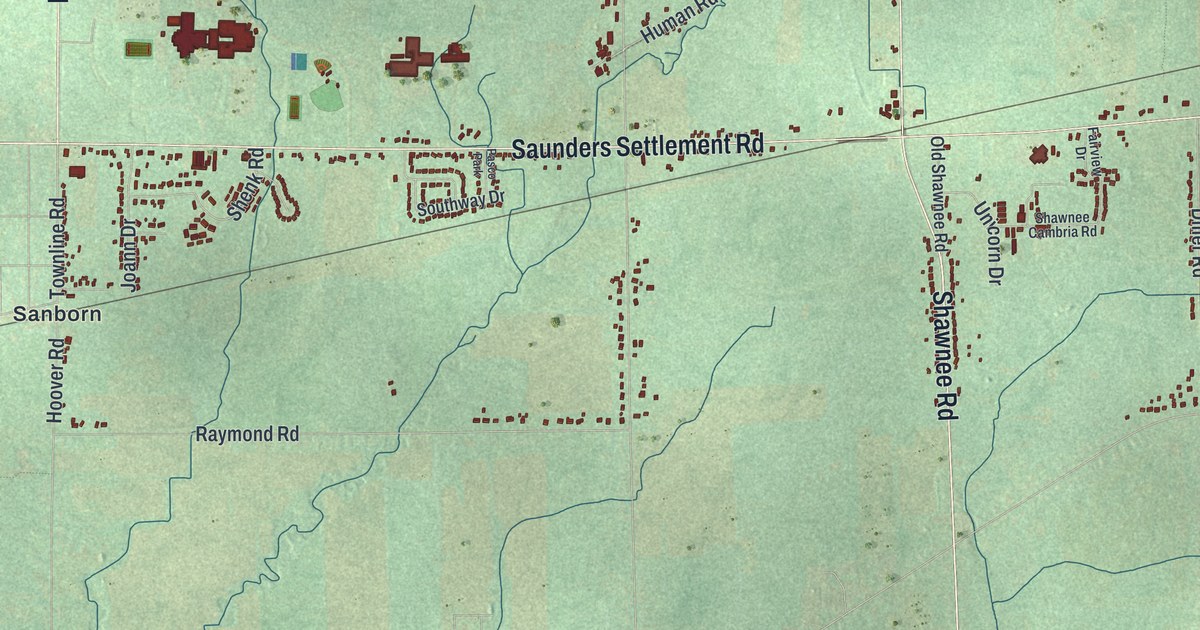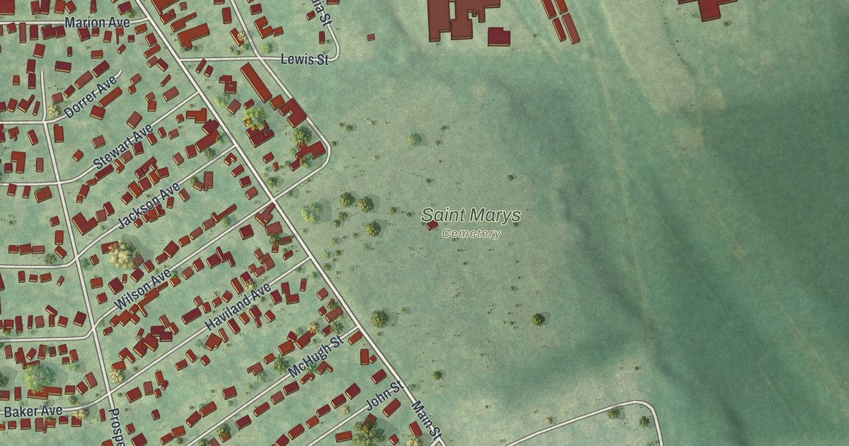
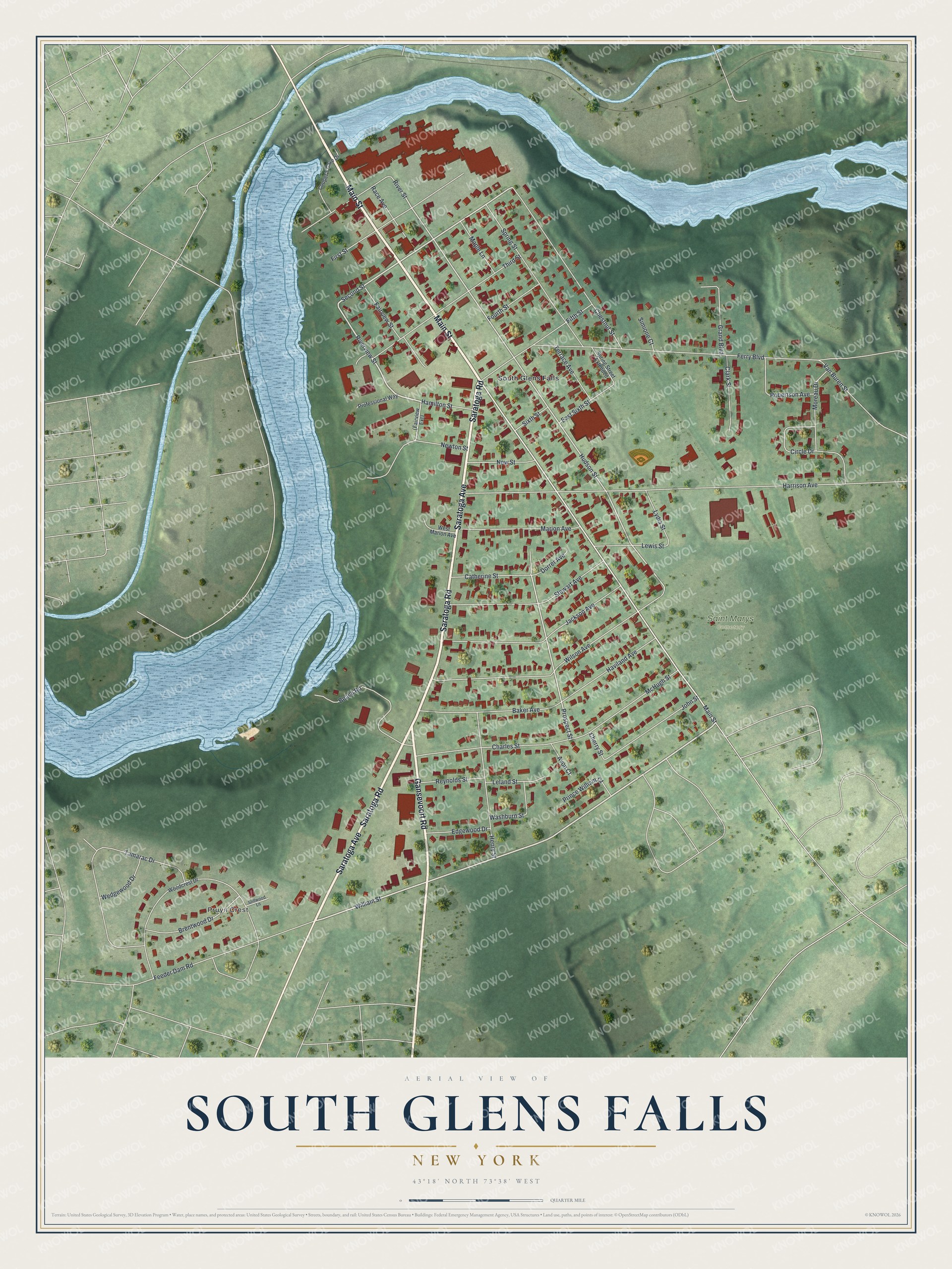
This beautifully detailed map of South Glens Falls, New York was created in 2026 using aerial imagery combined with modern topographical, census, street and landmark data. It’s a one-of-a-kind view of South Glens Falls that combines accurate data with a vintage aesthetic. The map shows every building in its true location, many of the roads carry their names, and the shaded topographic relief shows the shape of the land.
Explore an aerial view of South Glens Falls, New York
On the map you’ll find Pruyn Crest and Saint Marys Cemetery, along with Saratoga Avenue, Main Street, Saratoga Road, Gansevoort Road, William Street, and more. If you look closely you can even find your house accurately drawn in its correct location. Zoom in on the preview to look for yours.
Did You Know?
In 1766, the Daniel Parks family became the first to settle here. They received 800 acres and built a house and a sawmill. By the mid-1830s the settlement had sawmills, a gristmill, a cotton mill, a quarry and a dock. The village incorporated in 1895 to build a public water system.
Take a closer look at the South Glens Falls map
Names on this map
These names are printed on this map.
Places: Pruyn Crest, Saint Marys Cemetery and South Glens Falls.
Streets and roads: Saratoga Avenue, Main Street, Saratoga Road, Gansevoort Road, William Street, Riverview Street, Second Street, Prospect Street, Hudson Street, Harrison Avenue, Ferry Boulevard, Wilson Avenue.
More street names, A to Z
Avon Court, Baker Avenue, Beach Road, Brentwood Drive, Catherine Street, Charles Street, Cherry Street, Chestnut Street, Circle Drive, Clark Street, Cooper's Cave Drive, Dorrer Avenue, East Sixth Street, Edgewood Drive, Fairview Street, Feeder Dam Road, Fifth Street, First Street, Fourth Street, Grand Boulevard, Hamilton Street, Haviland Avenue, Henry Street, Jackson Avenue, John Street, Leland Street, Lewis Street, Lydia Street, Maple Lane, Marion Avenue, McHugh Street, Moreau Drive, New Street, Newton Street, Prince William Court, Professional Way, Race Avenue, Reynolds Street, River Street, Robertson Avenue, Simione Court, Sixth Street, Spring Street, Spring Street Extended, Stewart Avenue, Stillwood Lane, Tamarac Drive, Terrace Avenue, Third Street, Van Buren Street, Washburn Street, Wedgewood Drive, West Marion Avenue, Woodcrest Drive.
See it on a wall
The South Glens Falls map as a framed print. Swipe for more.


This beautifully detailed map of South Glens Falls makes an attractive addition to your office, library, or den, and it can even be used to teach children the geography and history of the area. It also makes a great gift for someone who left South Glens Falls and still calls it home. When you’re done exploring, click here to get your copy of the South Glens Falls map.