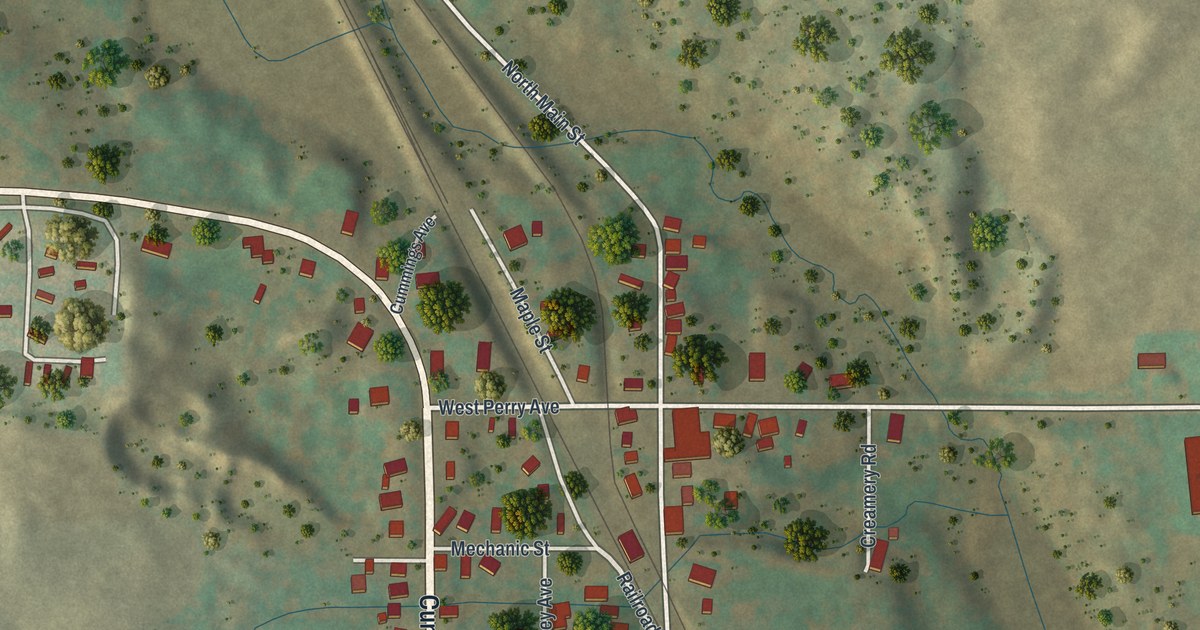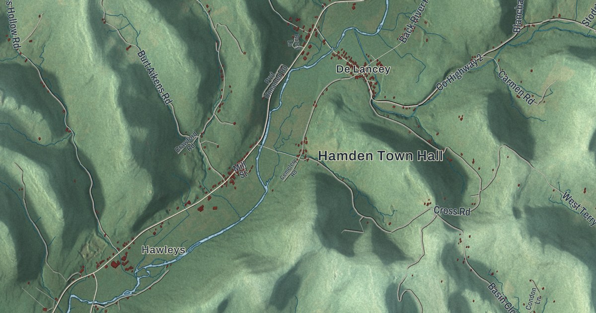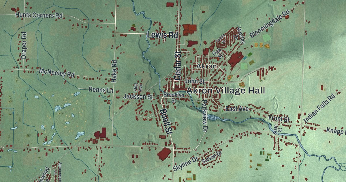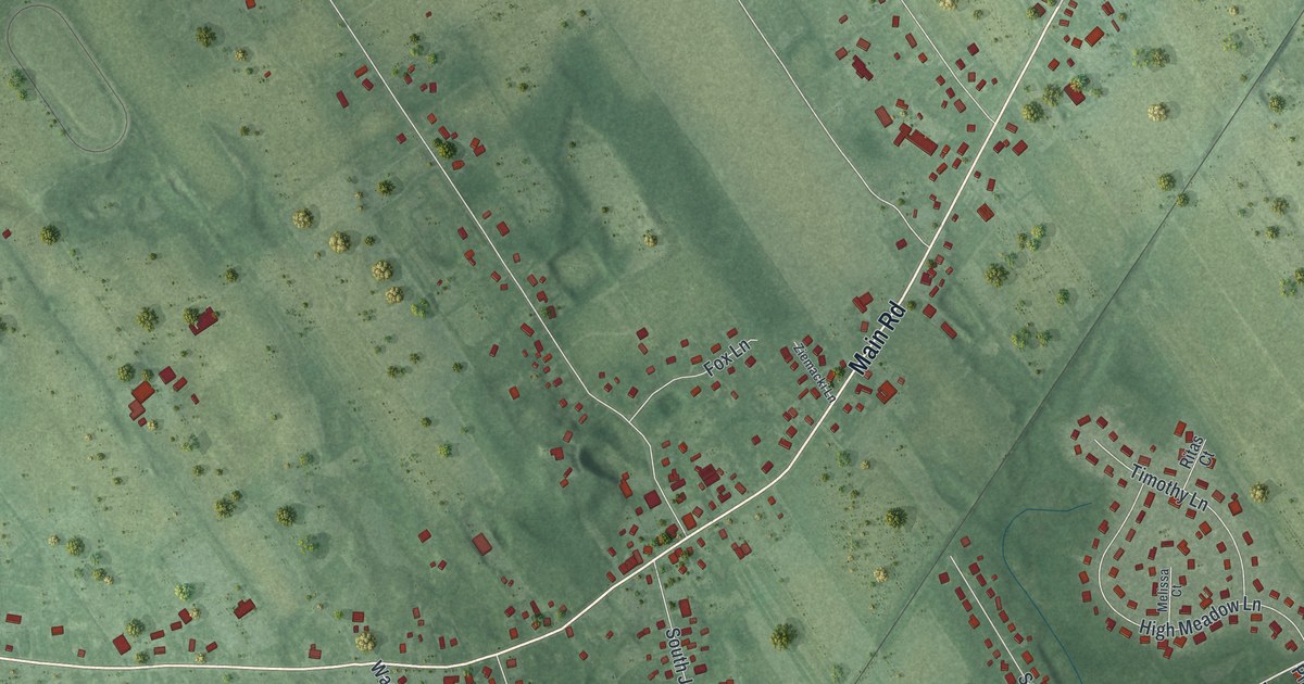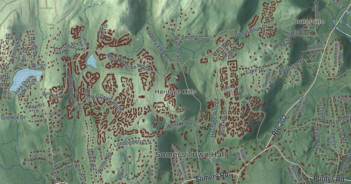
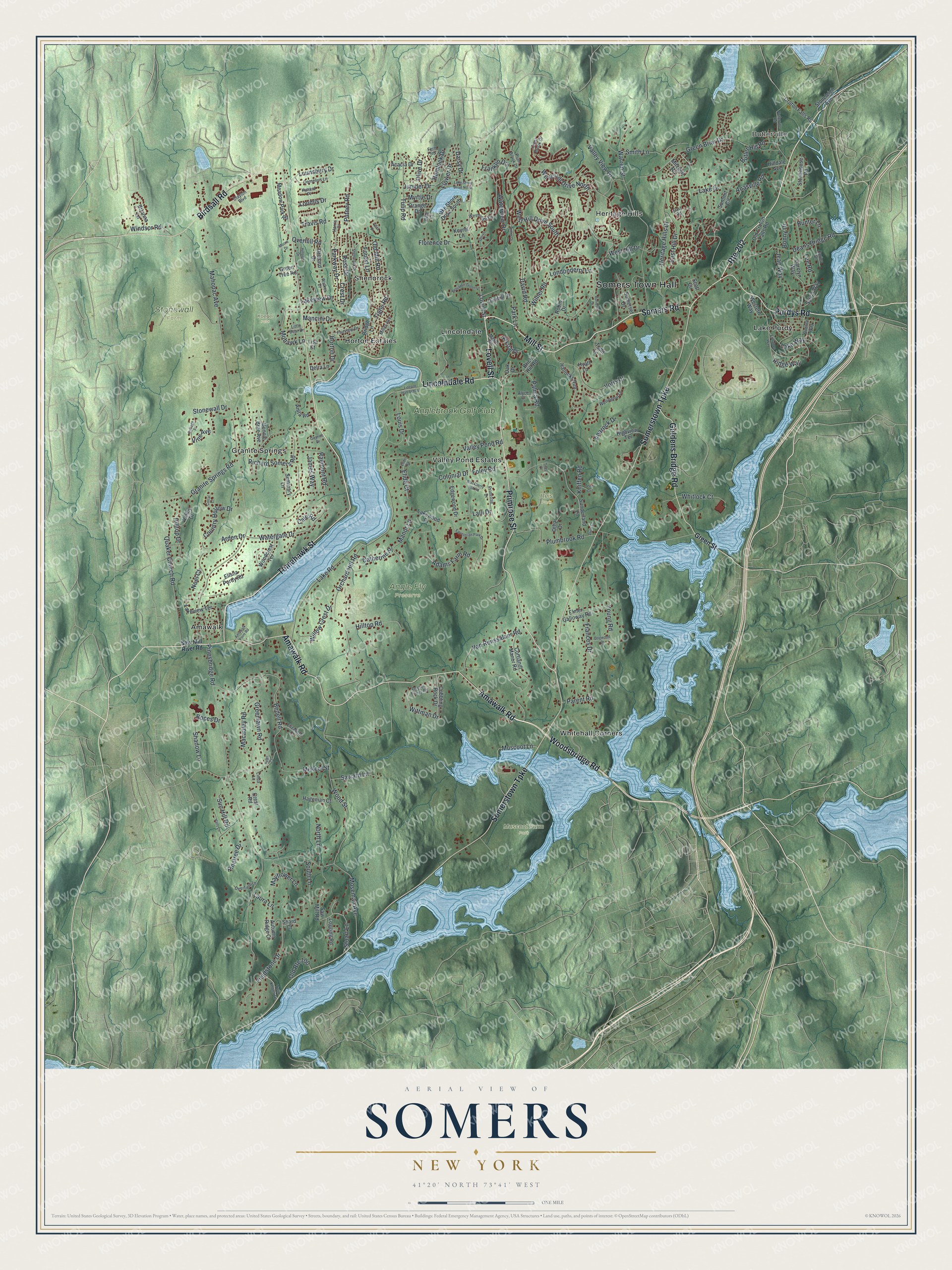
This beautifully detailed map of Somers, New York was created in 2026 using aerial imagery combined with modern topographical, census, street and landmark data. It’s a one-of-a-kind view of Somers that combines accurate data with a vintage aesthetic. The map shows every building in its true location, many of the roads carry their names, and the shaded topographic relief shows the shape of the land.
Explore an aerial view of Somers, New York
On the map you’ll find Somers Town Hall, Butlerville, Amawalk, Granite Springs, Heritage Hills, Lake Purdy, Angle Fly Preserve, Koegel Park, Muscoot Farm Park, and Reis Park, along with Somerstown Turnpike, Mill Street, Somers Road, Lovell Street, and more. If you look closely you can even find your house accurately drawn in its correct location. Zoom in on the preview to look for yours.
Did You Know?
Somers is called the birthplace of the American circus. In 1815 Hachaliah Bailey bought an elephant from a ship captain who had brought her from England. Bailey named her Old Bet and showed her around the country with monkeys and a bear or two. A wooden statue of Old Bet stands on a granite shaft in the hamlet. That’s from the 1940 WPA guide to New York.
Take a closer look at the Somers map
Names on this map
These names are printed on this map.
Places: Somers Town Hall, Butlerville, Angle Fly Preserve, Koegel Park, Muscoot Farm Park, Reis Park, Stonewall Farm, Amawalk, Granite Springs, Heritage Hills, Horton Estates, Lake Purdy, Lincolndale, Shenorock, Valley Pond Estates, Whitehall Corners and Anglebrook Golf Club.
Streets and roads: Somerstown Turnpike, Mill Street, Somers Road, Lovell Street, Primrose Street, Amawalk Road, Tomahawk Street, Lincolndale Road, Route 202, Woodsbridge Road, Birdsall Road, Goldens Bridge Road.
More street names, A to Z
Acacia Drive, Adams Farm Road, Alyce Court, Amawalk Point Road, Anarock Drive, Anasville Road, Anita Road, Antler Drive, Arden Drive, Autumn Ridge Court, Bedell Road, Benjamin Green Lane, Blackberry Hill Road, Boces Drive, Boniello Drive, Bonnie Brae Avenue, Bonny Drive, Brianna Lane, Brick Hill Road, Bridge Lane, Buenta Way, Butler Hill Road, Butlerville Road, Cale Road, Carina Drive, Carolyn Way, Catherine Place, Clayton Boulevard, Cobbling Rock Drive, Colonial Drive, Cornelius Lane, Corral Court, Cortlandt Manor Road, Cottage Place, Country Hollow Drive, Crest Brook Drive, Crest Drive, Crest Road, Croton Falls Road, Daisy Drive, David Road, Deans Bridge Road, Deerfield Lane, Delra Lane, Doctor Tonys Road, Dogwood Lane, Dunhill Drive, East Hill Drive, East Road, Edgewood Drive, Elide Court, Elide Road, Elisha Purdy Road, Elizabeth Court, Elmer Galloway Road, Entrance Way, Equestrian Park Drive, Fairview Drive, Fern Road, Fieldstone Drive, Florence Drive, Flower Drive, Foley Road, Forest Lane, Frances Drive, Franklin Drive, Granite Springs Road, Green Briar Drive, Greenlawn Road, Green Street, Green Tree Road, Gwynne Drive, Hageman Court, Hallocks Run, Harris Court, Hemlock Drive, Heritage Hills Drive, Highview Terrace, Hilldale Avenue, Hillside Drive, Hilltop Drive, Hilltop Road, Horton Drive, Hunter Lane, Hyatt Lane, Hynard Place, James Way, Jean Way, Juniper Drive, Keyrel Lane, Kniffen Road, Krystal Drive, Lake Drive, Lake Road, Lake Shore Drive North, Lake Shore Drive South, Lakeview Drive, Lakeview Terrace, Lake Way, Lakewood Drive, Lalli Drive, Laura Lane, Lee Road, Lincoln Hall School, Linda Lane, Lisa Court, Little Bear Drive, Logging Road, Londonderry Lane, Loomis Drive, Louis Drive, Lounsbury Drive, Macauley Road, Mahopac Avenue, Mancini Drive, Manor Lane, Maple Road, Mayflower Lane, Meadow Park Road, Mekeel Street, Miller Avenue, Mitchell Road, Mohawk Lane, Moore Drive, Moseman Avenue, Muscoot Lane, Myrtle Drive, Noel Court, North Lane, Oak Drive, Old Croton Falls Road, Old Mill Road, Old Route 100, Olive Drive, Oliver Court, Orange Drive, Orchard Drive, Orchard Hill Road, Otha Drive, Overhill Road, Palma Road, Parent Road, Park Lane, Parkway Drive, Pearl Court, Pine Court, Pinesbridge Road, Pinetree Drive, Plum Brook Drive, Plumbrook Road, Plum Court, Primrose Drive, Purdys Road, Putney Road, Quaker Church Road, Raemont Road, Richard Somers Road, Ridge Way, Robin Drive, Ross Drive, Saward Lane, Saw Mill River Road, Saw Mill Road, Scott Circle, Seminary Lane, Shadow Lane, Shard Court, Shenorock Drive, Smith Lane, Somerset Drive, South Lane, Stonehouse Road, Stoneleigh Avenue, Stonewall Drive, Stuart Lane, Summit Circle, Sunderland Lane, Sun Hill Road, Sylvia Way, Teed Court, Tighe Road, Titus Court, Todd Lane, Travis Road, Tulip Road, Twin Knolls Drive, Vails Lane, Valley Drive, Valley Pond Road, Valley View Drive, Van Renssalaer Road, Vine Avenue, Vista Drive, Voris Drive, Walker Drive, Warren Street, Watergate Drive, Waterview Drive, Wellington Lane, Western Way, West Hill Drive, West Hill Drive North, West Hill Drive South, Westridge Drive, Whitlock Court, Willow Crest Drive, Wilner Road, Windsor Road, Wittman Drive, Woodcrest Terrace, Wood Street, Young Road.
See it on a wall
The Somers map as a framed print. Swipe for more.


This beautifully detailed map of Somers makes an attractive addition to your office, library, or den, and it can even be used to teach children the geography and history of the area. It also makes a great gift for someone who left Somers and still calls it home. When you’re done exploring, click here to get your copy of the Somers map.