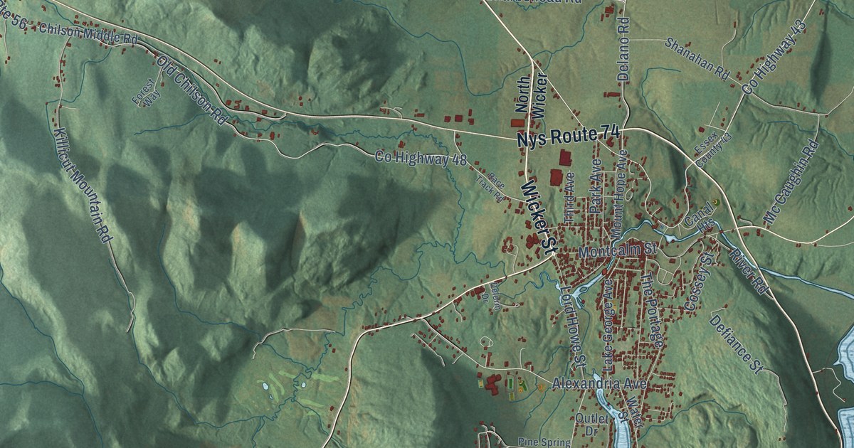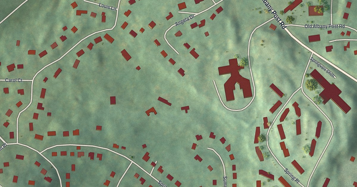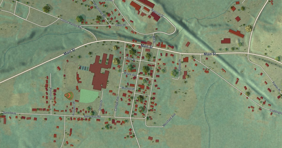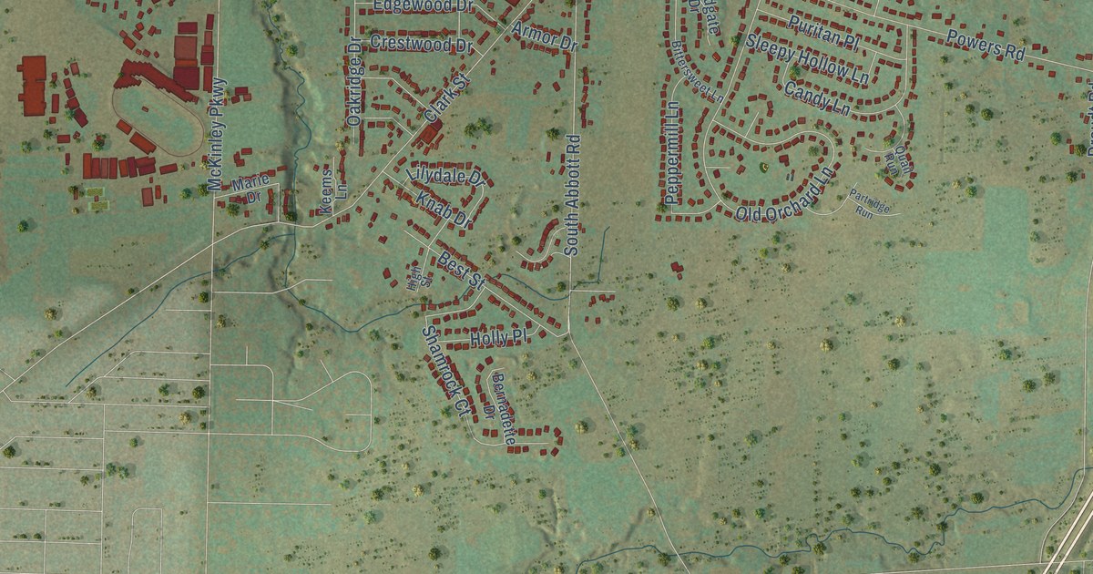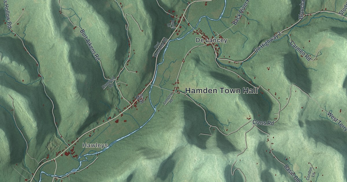
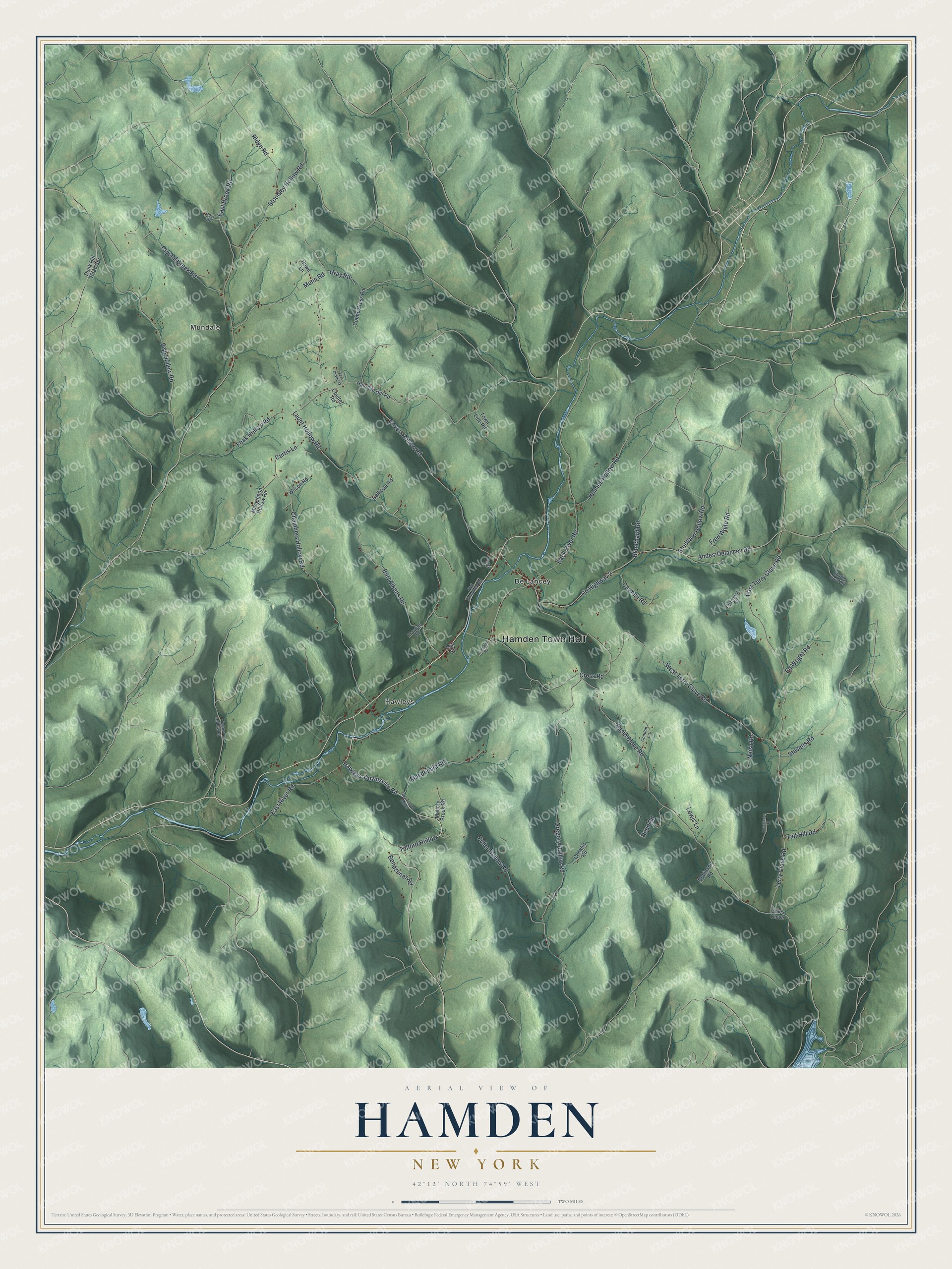
This beautifully detailed map of Hamden, New York was created in 2026 using aerial imagery combined with modern topographical, census, street and landmark data. It’s a one-of-a-kind view of Hamden that combines accurate data with a vintage aesthetic. The map shows every building in its true location, many of the roads carry their names, and the shaded topographic relief shows the shape of the land.
Explore an aerial view of Hamden, New York
On the map you’ll find Hamden Town Hall, Telford Hollow, Mundale, Hawleys, and De Lancey, along with Hawleys-Downsville Road, Terry Clove Road, Launt Hollow Road, and more. If you look closely you can even find your house accurately drawn in its correct location. Zoom in on the preview to look for yours.
Did You Know?
Hamden holds a spot in baseball history. The earliest American newspaper reference to a baseball game was a challenge from Hamden men, printed in the Delhi Gazette on July 13, 1825. They dared any team in Delaware County to play them for one dollar a game.
Take a closer look at the Hamden map
Names on this map
These names are printed on this map.
Places: Hamden Town Hall, Mundale, Hawleys and De Lancey.
Streets and roads: Hawleys-Downsville Road, Telford Hollow, Terry Clove Road, Launt Hollow Road, Gregory Hollow Road, Back River Road, Basin Clove Road, West Terry Clove Road, Andes-Delancey Road, East Brook Road, Ridge Road, Chambers Hollow Road.
More street names, A to Z
Aka Telford Hollow, Bendzunas Road, Blanchard Road, Burt Aikens Road, Buzzy Lane, Calhoun Road, Carmen Road, Cemetery Road, Charlie Wood Road, Cobbe Cross Road, Coles Clove, Condon Lane, Conklin Road, Coulter Road, County Highway 2, Covert Hollow Road, Crawford Road, Cross Road, Crystal Creek Road, Curtis Lane, Dunk Hill Road Spr, East River Road, East Terry Clove Road, Ed Wright Road, Feak Hollow Road, Fish Hollow Road, Fred White Road, Fuller Hollow Road, Gray Road, Hamden Hill Road, Holmes Hollow Road, Howe Lane, Hoyt Road, Hutchinson Lane, Kilanowski Road, Lewis Lane, Macdonald Road, Macgibbon Hollow Road, Mallory Brook Road, Mill Street, Munn Road, Neish Road, Oxbow Hollow Road, Prvt Driveway, Prvt Unnamed Road, Reed Road, Robinson Road, Stevens Road, Stoddard Hollow Road, Stoodley Hollow Road, Tait Hill Road, Town Line Road, Wilson Road.
See it on a wall
The Hamden map as a framed print. Swipe for more.


This beautifully detailed map of Hamden makes an attractive addition to your office, library, or den, and it can even be used to teach children the geography and history of the area. It also makes a great gift for anyone with Hamden roots. When you’re done exploring, click here to get your copy of the Hamden map.