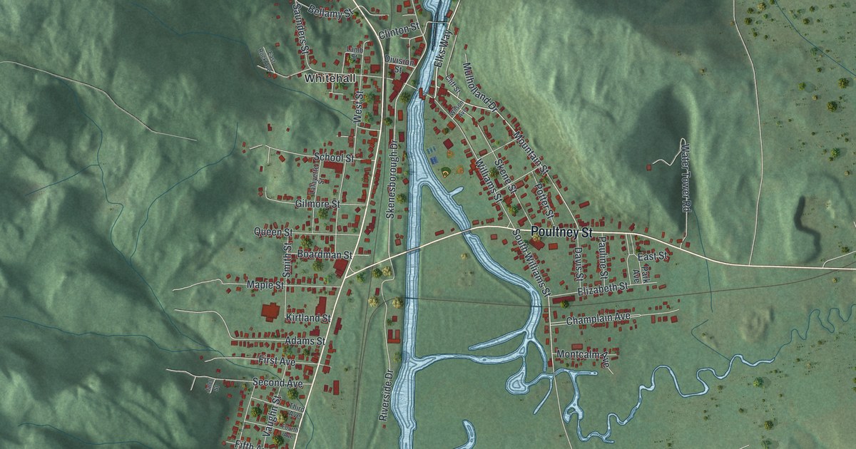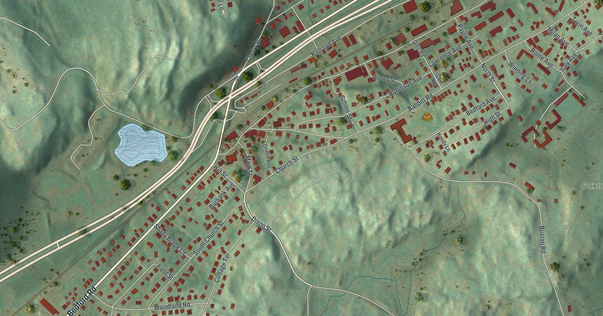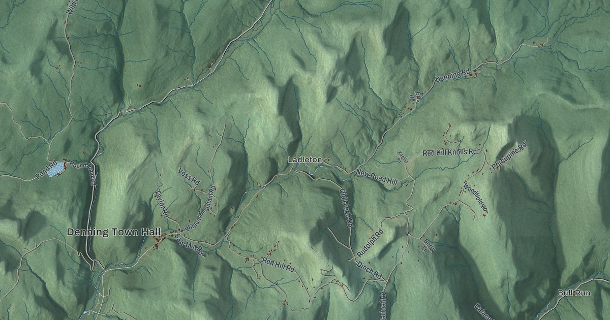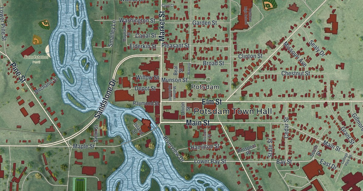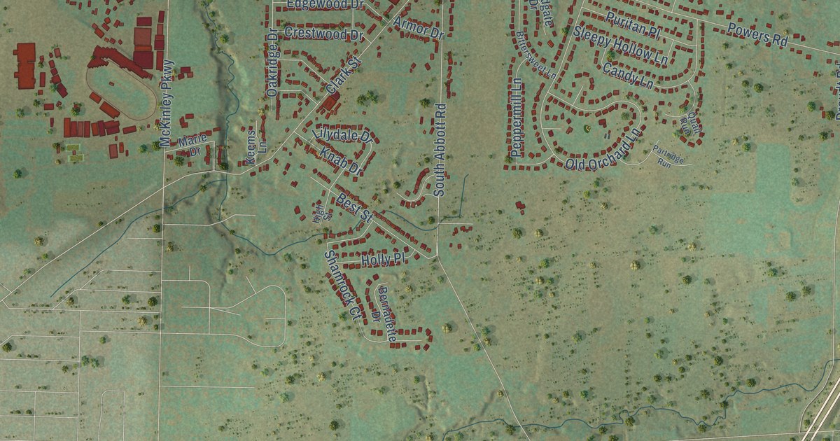
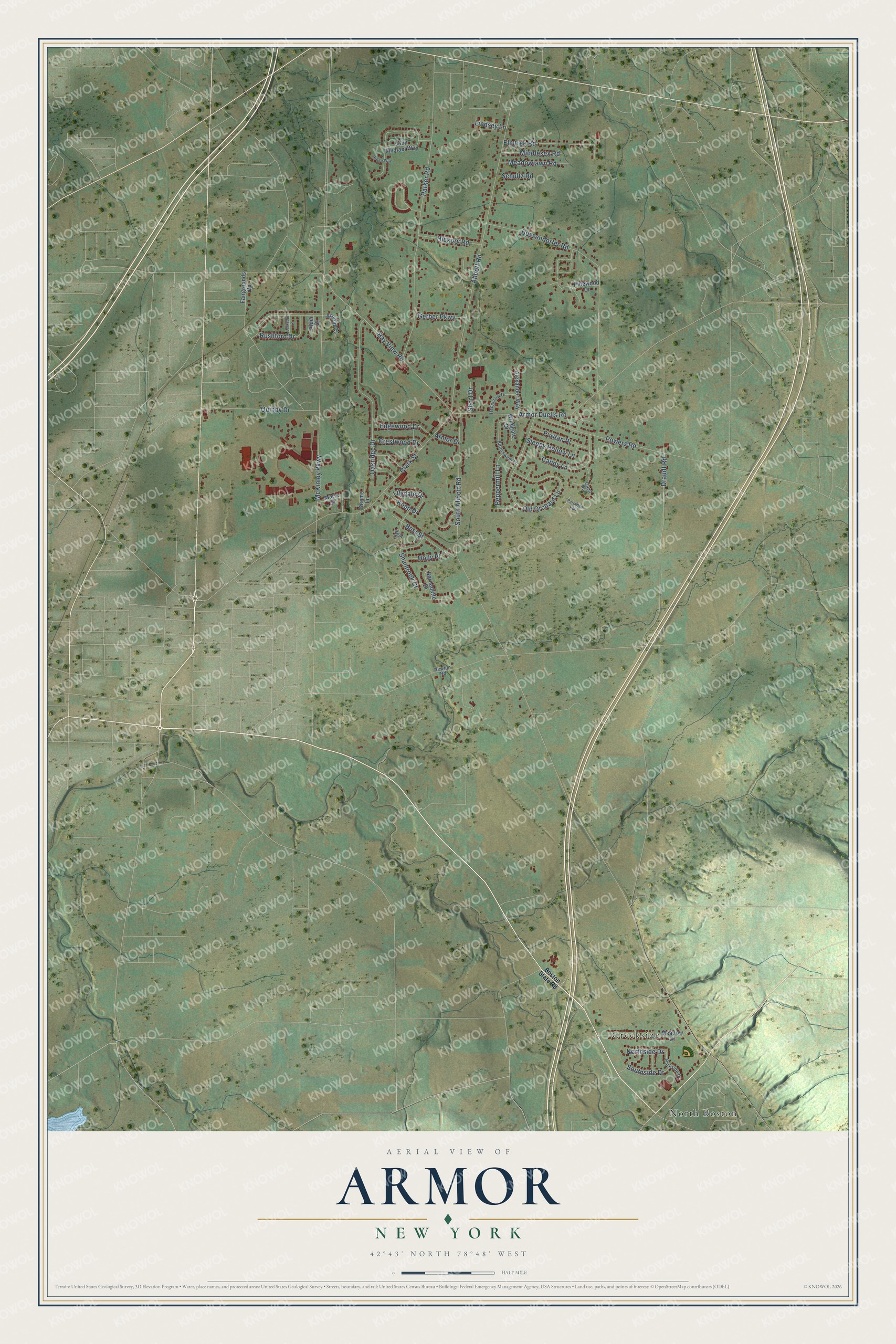
This beautifully detailed map of Armor, New York was created in 2026 using aerial imagery combined with modern topographical, census, street and landmark data. It’s a one-of-a-kind view of Armor that combines accurate data with a vintage aesthetic. The map shows every building in its true location, many of the roads carry their names, and the shaded topographic relief shows the shape of the land.
Explore an aerial view of Armor, New York
On the map you’ll find North Boston and Creekside, along with Bay View Road, Armor Duells Road, South Abbott Road, Abbott Road, McKinley Parkway, Parker Road, Old Orchard Lane, Clark Street, Powers Road, Rushford Drive, and more. If you look closely you can even find your house accurately drawn in its correct location. Zoom in on the preview to look for yours.
Did You Know?
From Internet Archive: "At the four-corners south of the fair-grounds and 1% miles northeast of the village the beach is a series of parallel bars which unite toward Armor."
Armor is a community in Erie County.
Take a closer look at the Armor map
Names on this map
These names are printed on this map.
Places: North Boston and Creekside.
Streets and roads: Bay View Road, Armor Duells Road, South Abbott Road, Abbott Road, McKinley Parkway, Parker Road, Old Orchard Lane, Clark Street, Powers Road, Rushford Drive, Bussendorfer Road, Candy Lane.
More street names, A to Z
Alder Court, Alexander Way, Armor Drive, Arnold Court, Bernadette Drive, Best Street, Bittersweet Lane, Boston State Road, Crestwood Drive, Draudt Road, Edgewood Drive, Elmtree Road, Fairgrounds Road, Gerber Parkway, Hedgerow Drive, Hickory Road, High Street, Holly Place, John Michael Way, Keems Lane, Knab Drive, Larkspur Lane, Lilydale Drive, Lindsey Lane, Marie Drive, Meadow Drive, Meadowlawn Road, Middlesex Road, Newton Road, Northside Drive, Oakridge Drive, Parkside Drive, Partridge Run, Peppermill Lane, Pinewood Drive, Puritan Place, Quail Run, Quinby Drive, Ridge Way, Schultz Road, Shamrock Court, Short Drive, Sleepy Hollow Lane, Southside Drive, Windgate Drive.
See it on a wall
The Armor map as a framed print. Swipe for more.


This beautifully detailed map of Armor makes an attractive addition to your office, library, or den, and it can even be used to teach children the geography and history of the area. It also makes a great gift for anyone with Armor roots. When you’re done exploring, click here to get your copy of the Armor map.