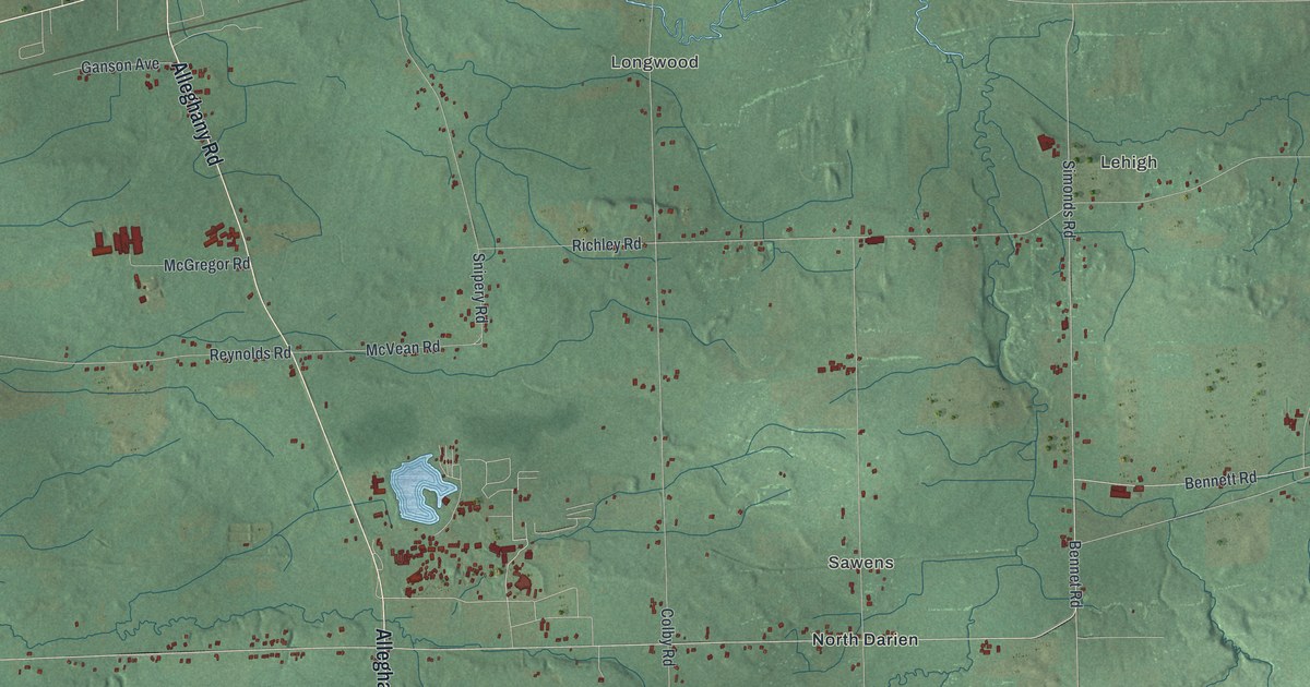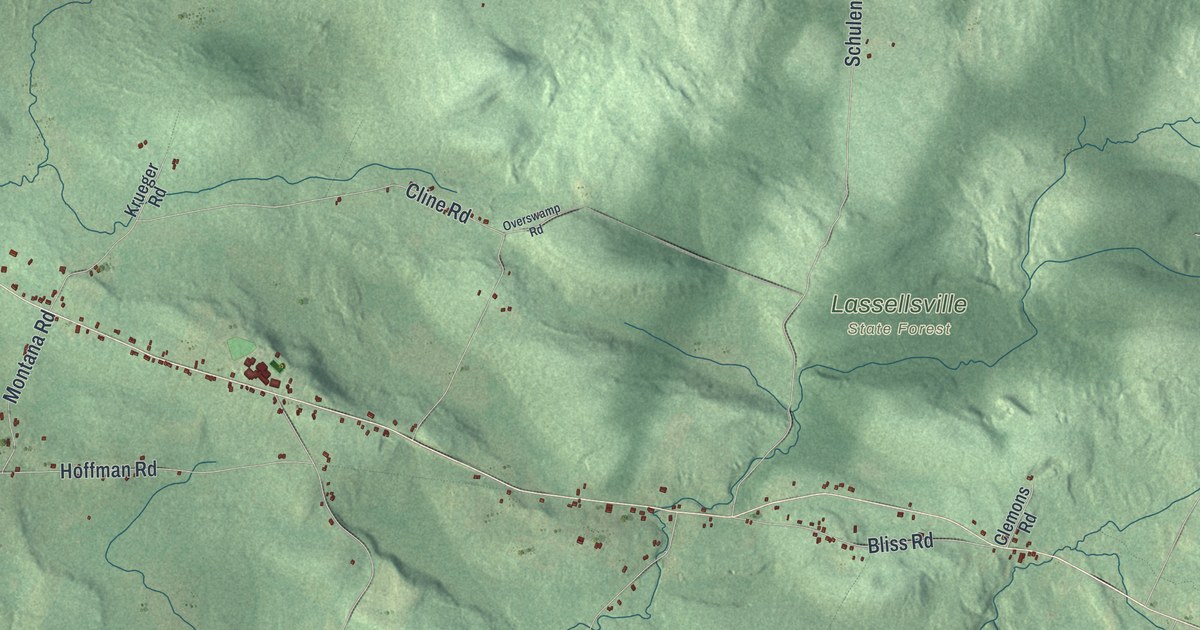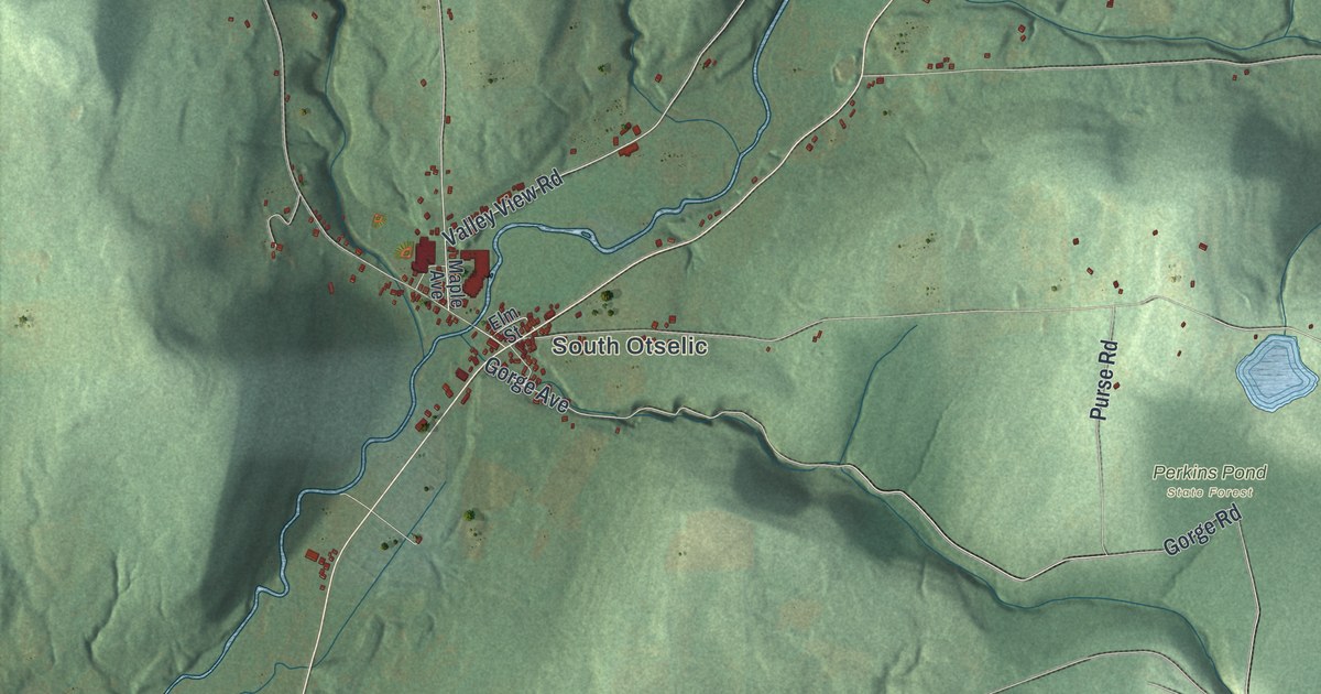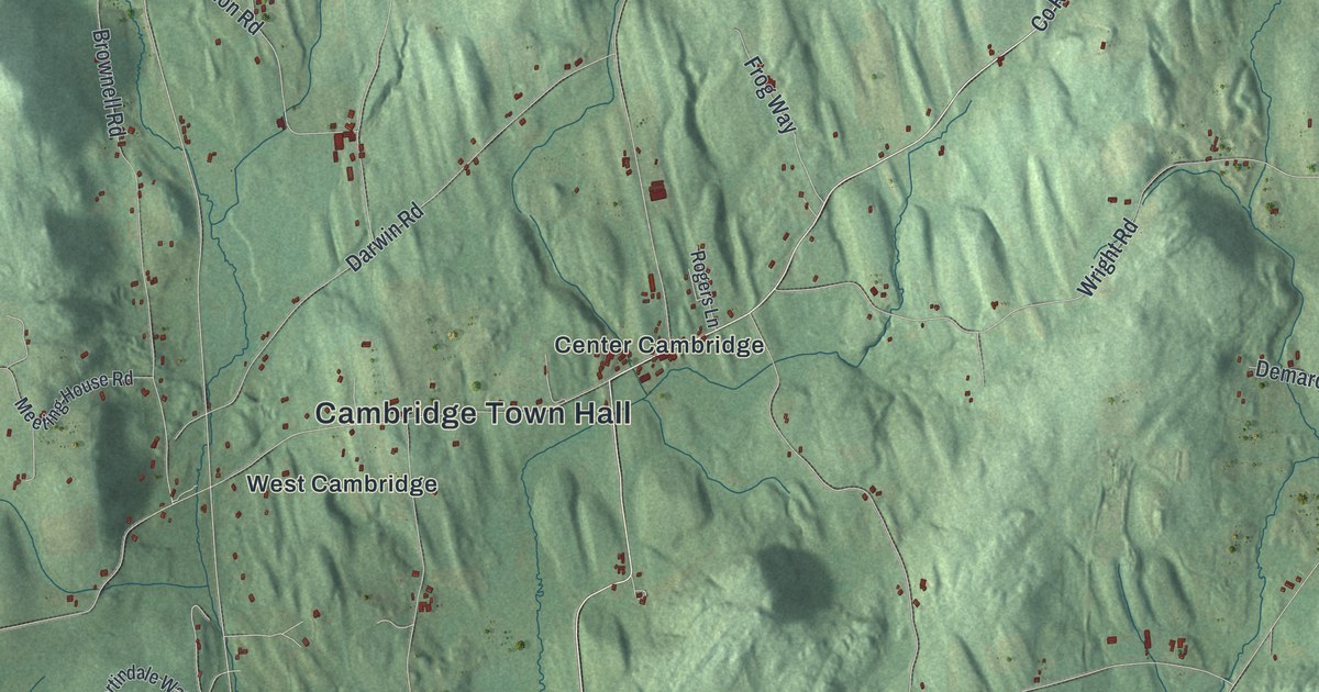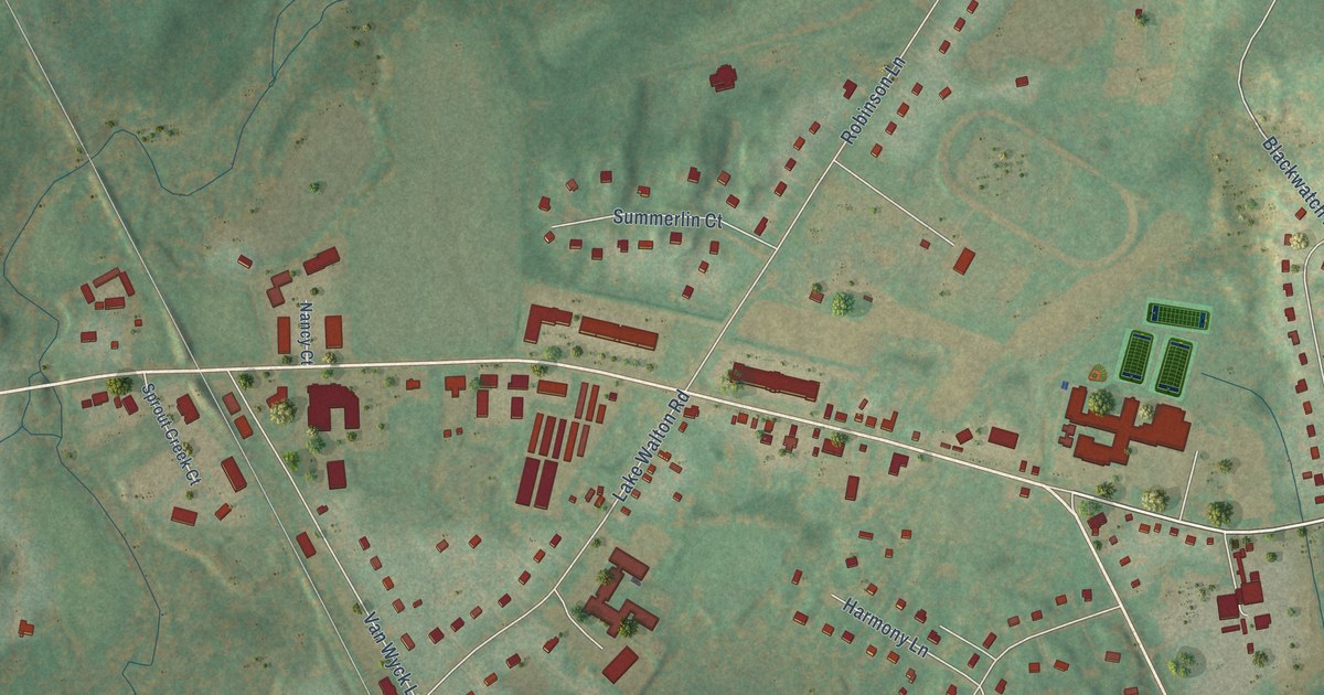
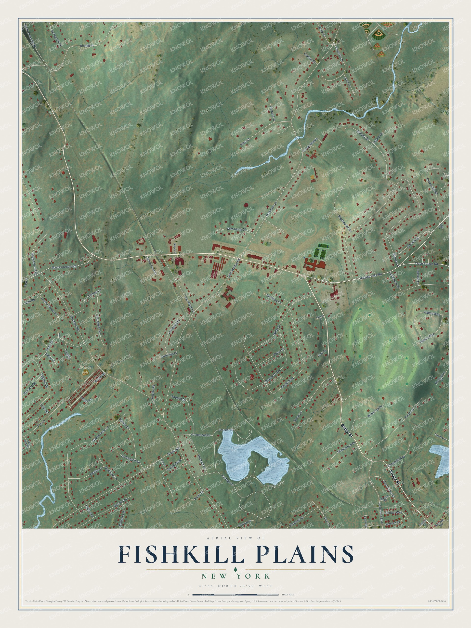
This beautifully detailed map of Fishkill Plains, New York was created in 2026 using aerial imagery combined with modern topographical, census, street and landmark data. It’s a one-of-a-kind view of Fishkill Plains that combines accurate data with a vintage aesthetic. The map shows every building in its true location, many of the roads carry their names, and the shaded topographic relief shows the shape of the land.
Explore an aerial view of Fishkill Plains, New York
On the map you’ll find Martz Field, along with Bridge Street, Clove Branch Road, Lake Walton Road, Robinson Lane, Brandy Lane, Montfort Road, Hillside Lake Road, Wright Boulevard, Brown Road, Queen Anne Lane, Diddell Road, and more. If you look closely you can even find your house accurately drawn in its correct location. Zoom in on the preview to look for yours.
Did You Know?
From Internet Archive: "Dutch families from Long Island settled on Fishkill Plains in the seventeenforties and ‘fifties."
Fishkill Plains is a community in Dutchess County.
Take a closer look at the Fishkill Plains map
Names on this map
These names are printed on this map.
Places: Martz Field.
Streets and roads: Bridge Street, Clove Branch Road, Lake Walton Road, Robinson Lane, Brandy Lane, Montfort Road, Hillside Lake Road, Wright Boulevard, Brown Road, Queen Anne Lane, Diddell Road, Verplanck Avenue.
More street names, A to Z
Barnes Drive, Blackwatch Drive, Cambridge Court, Cashman Drive, Caties Way, Cottage Drive, Cottontail Lane, Cresent Drive, Crown Hill Road, Deer Run Road, De Gasperi Road, Dillon Court, Dogwood Hill Road, East Tilden Place, Edgehill Drive, Elizabeth Drive, Elizabeth Terrace, Fairfield Lane, Fenton Way, Fishkill Road, Gellatly Drive, Gerhard Court, Glenns Way, Gold Road, Governors Boulevard, Harmony Lane, Heaton Lane, Hoffman Road, Homestead Drive, Jennifer Drive, Jess Court, Joan Lane, Larchmont Drive, Larissa Lane, Launda Road, Legere Court, Lewis Road, Lexington Drive, Lindsey Court, Little Road, Long Court, Marion Avenue, Miller Drive, Mockingbird Court, Montfort Woods Road, Montrose Lane, Myers Corners Road, Nancy Court, Neville Road, Ninham Avenue, Orchard Lane, Partners Road, Patricia Court, Paulette Lane, Peg Court, Potter Place, Purse Lane, Pye Lane, Radcliff Drive, Railroad Avenue, Ricky Court, Rose Lane, Scribo Road, Secor Lane, Seward Road, Shadowood Drive, Shale Drive, Shepards Way, Short Court, Smith Crossing Road, Spring Hill Court, Sprout Creek Court, Summerlin Court, Sunset Boulevard, Taryl Court, Teller Avenue, Timothy Lane, Turner Mewes, Van Wyck Lane, Vicki Lane, Viola Court, White Tail Drive.
See it on a wall
The Fishkill Plains map as a framed print. Swipe for more.


This beautifully detailed map of Fishkill Plains makes an attractive addition to your office, library, or den, and it can even be used to teach children the geography and history of the area. It also makes a great gift for anyone with Fishkill Plains roots. When you’re done exploring, click here to get your copy of the Fishkill Plains map.