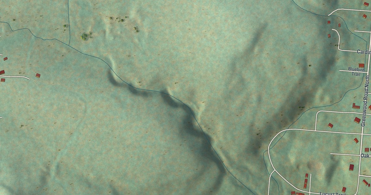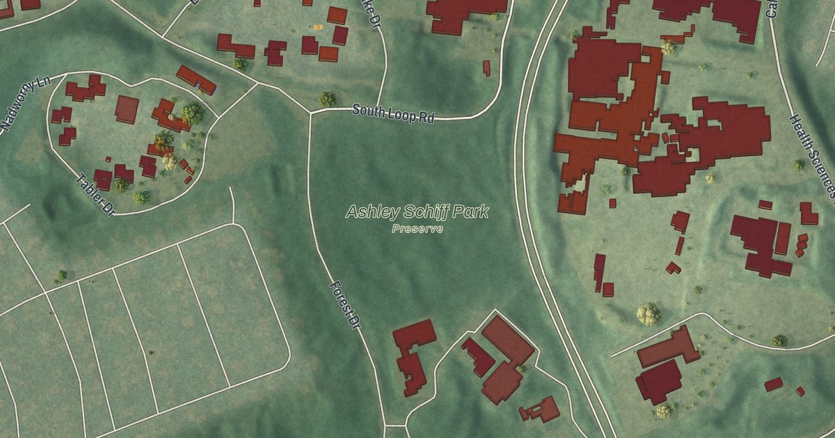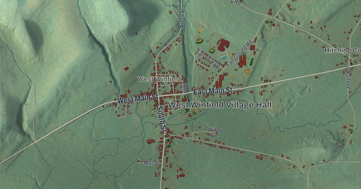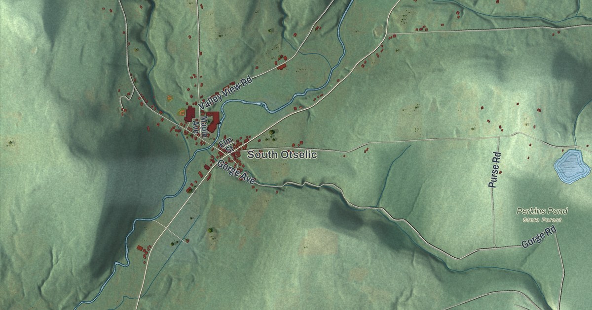
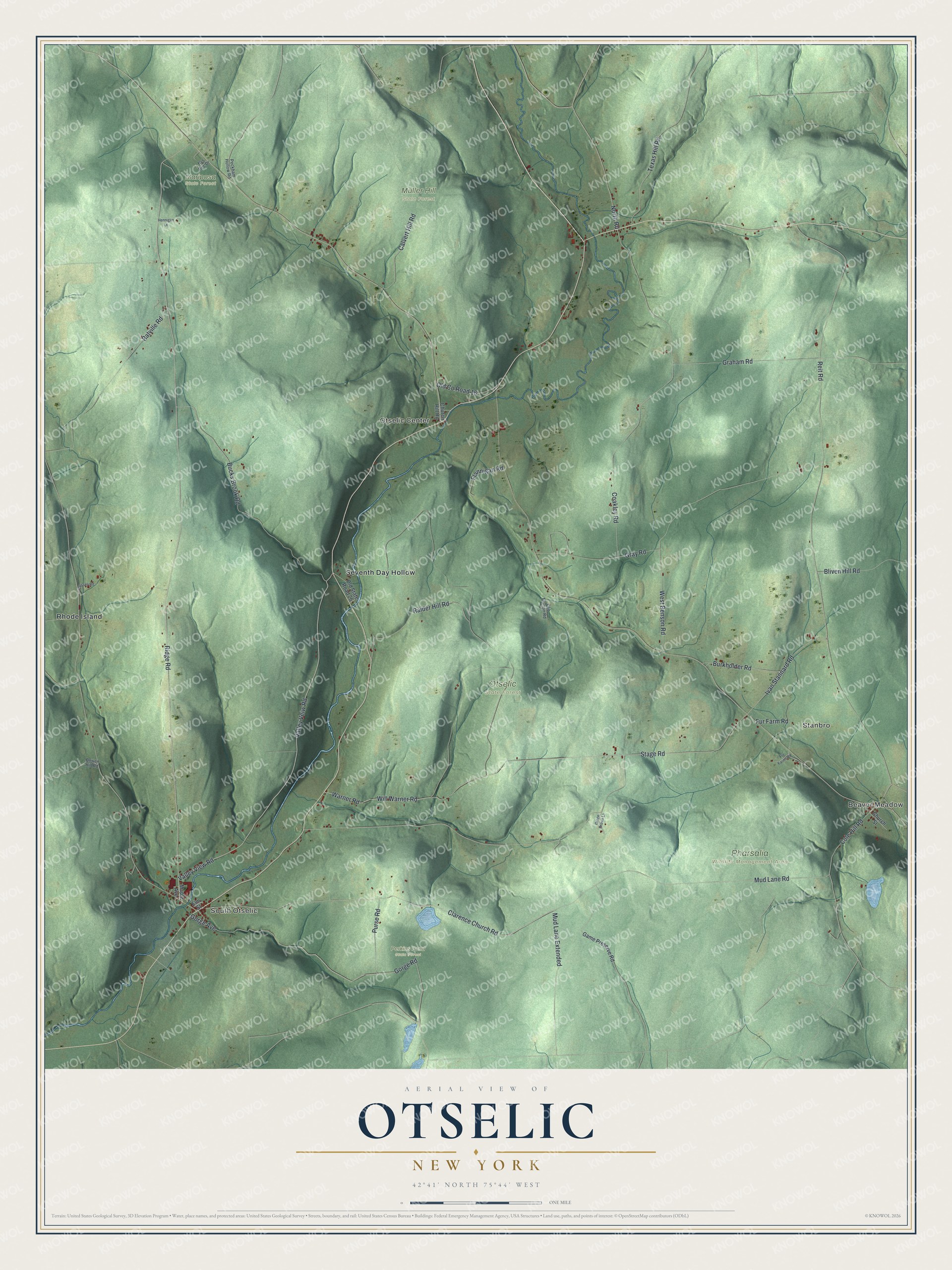
This beautifully detailed map of Otselic, New York was created in 2026 using aerial imagery combined with modern topographical, census, street and landmark data. It’s a one-of-a-kind view of Otselic that combines accurate data with a vintage aesthetic. The map shows every building in its true location, many of the roads carry their names, and the shaded topographic relief shows the shape of the land.
Explore an aerial view of Otselic, New York
On the map you’ll find Beaver Meadow, South Otselic, Stanbro, Otselic Center, Rhode Island, Mariposa State Forest, Muller Hill State Forest, Perkins Pond State Forest, and Pharsalia Wildlife Management Area, along with Ridge Road, Warner Road, Will Warner Road, North Road, Gorge Avenue, and more. If you look closely you can even find your house accurately drawn in its correct location. Zoom in on the preview to look for yours.
Did You Know?
The town shares its name with the Otselic River, which flows through it. In the Oneida language, Otselic means place of wild plums. Its first settler came around 1800. Many early families moved here from Connecticut and Massachusetts. Otselic split off from German in 1817.
Take a closer look at the Otselic map
Names on this map
These names are printed on this map.
Places: Beaver Meadow, South Otselic, Stanbro, Otselic Center, Mariposa State Forest, Muller Hill State Forest, Otselic State Forest, Perkins Pond State Forest, Pharsalia Wildlife Management Area, Rhode Island and Seventh Day Hollow.
Streets and roads: Valley View Road, Valley Veiw Road, Ridge Road, Warner Road, Will Warner Road, North Road, Gorge Avenue, Reit Road, Stage Road, Mud Lane Road, Coakley Road, Clarence Church Road.
More street names, A to Z
Bliven Hill Road, Bowen Hill Road, Bucks Brook Road, Burkholder Road, Calvert Hill Road, Church Hill Road, Church Street, Clossen Road, Cole Hill Road, Deb Truman Road, Elm Street, Flannigan Road, Fur Farm Road, Fur Farms Road, Game Preserve Road, Gorge Road, Grace Brown Lane, Graham Road, Gray Road, Hennigan Lane, Ivan Stannard Road, Maple Avenue, Mud Lane Extended, Nys Dec Drive, Old County Road 16, Old State Road 26, Peckham Hollow Road, Purse Road, Raider Hill Road, Ratville Road, Texas Hill Road, West Benson Road.
See it on a wall
The Otselic map as a framed print. Swipe for more.


This beautifully detailed map of Otselic makes an attractive addition to your office, library, or den, and it can even be used to teach children the geography and history of the area. It also makes a great gift for anyone with Otselic roots. When you’re done exploring, click here to get your copy of the Otselic map.