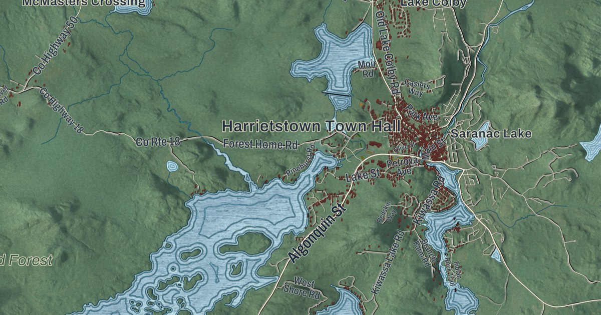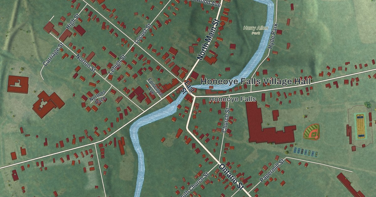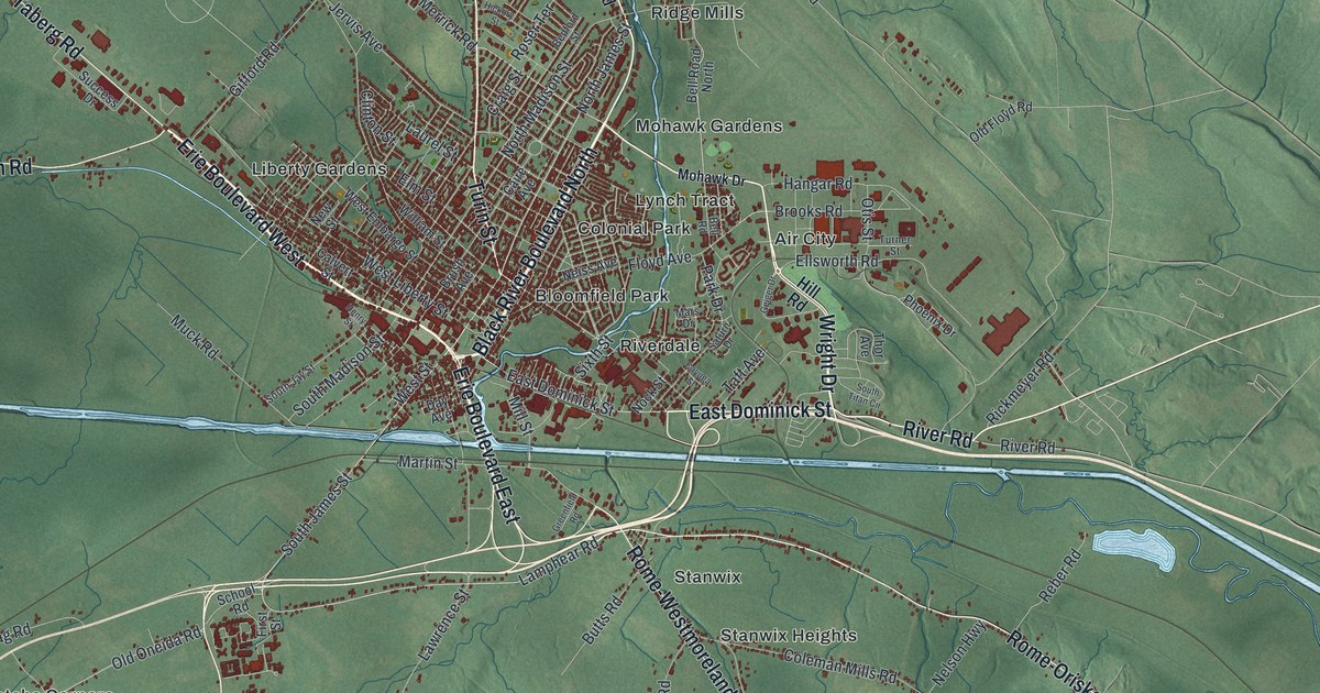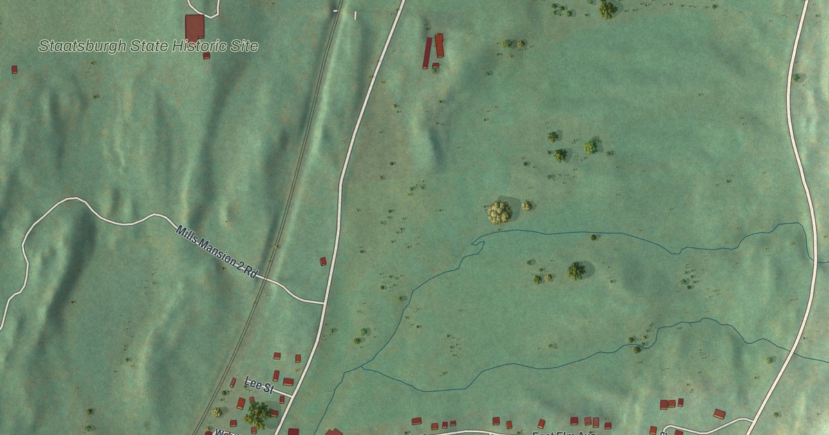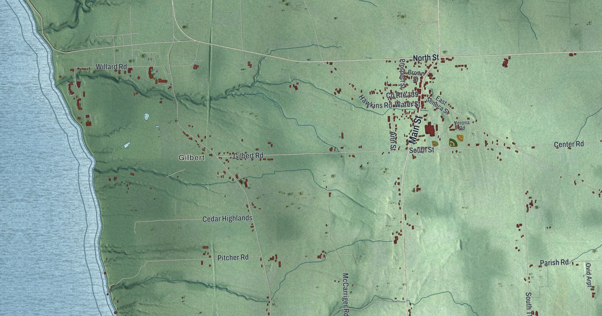
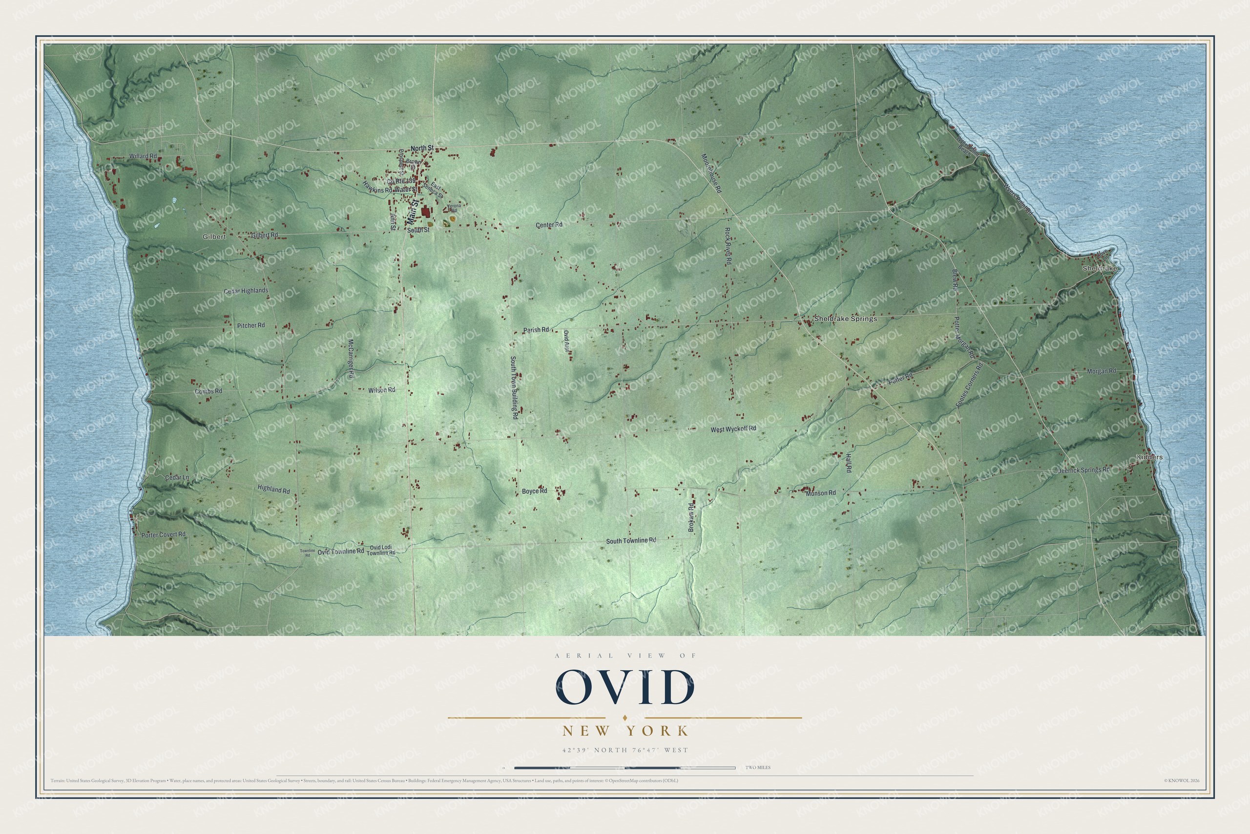
This beautifully detailed map of Ovid, New York was created in 2026 using aerial imagery combined with modern topographical, census, street and landmark data. It’s a one-of-a-kind view of Ovid that combines accurate data with a vintage aesthetic. The map shows every building in its true location, many of the roads carry their names, and the shaded topographic relief shows the shape of the land.
Explore an aerial view of Ovid, New York
On the map you’ll find Kidders, Sheldrake, Gilbert, and Sheldrake Springs, along with Main Street, North Street, Center Road, Wyers Point Road, South Street, and more. If you look closely you can even find your house accurately drawn in its correct location. Zoom in on the preview to look for yours.
Did You Know?
Ovid carries the name of the Roman poet. A clerk with a love of the classics chose it. Revolutionary War veterans were paid with land here, in the Central New York Military Tract. Ovid became a town in 1794, between Seneca and Cayuga lakes.
Take a closer look at the Ovid map
Names on this map
These names are printed on this map.
Places: Kidders, Sheldrake, Gilbert and Sheldrake Springs.
Streets and roads: Main Street, Center Road, Wyers Point Road, South Street, County Route 139, Gilbert Road, Ovid Townline Road, Cedar Lane, Morgan Road, West Wyckoff Road, Rock River Road, Munson Road.
More street names, A to Z
Ann Street, Blew Road, Boyce Road, Brokaw Road, Brown Street, Cedar Highlands, Combs Road, Cove Lane, Deerlick Springs Road, East Seneca Street, Footes Corners Road, Hall Road, Hawkins Road, Highland Road, McCarriger Road, Moorehouse Road, North Street, Ovid Arpt, Ovid Lodi Townline Road, Parish Road, Pitcher Road, Porter Covert Road, Potter Morgan Road, Potter Road, Prospect Street, South Town Building Road, South Townline Road, Townline Road, Verona Road, Water Street, Willard Road, Wilson Road, Wyers Point Beach.
See it on a wall
The Ovid map as a framed print. Swipe for more.


This beautifully detailed map of Ovid makes an attractive addition to your office, library, or den, and it can even be used to teach children the geography and history of the area. It also makes a great gift for anyone who grew up in Ovid or moved away. When you’re done exploring, click here to get your copy of the Ovid map.