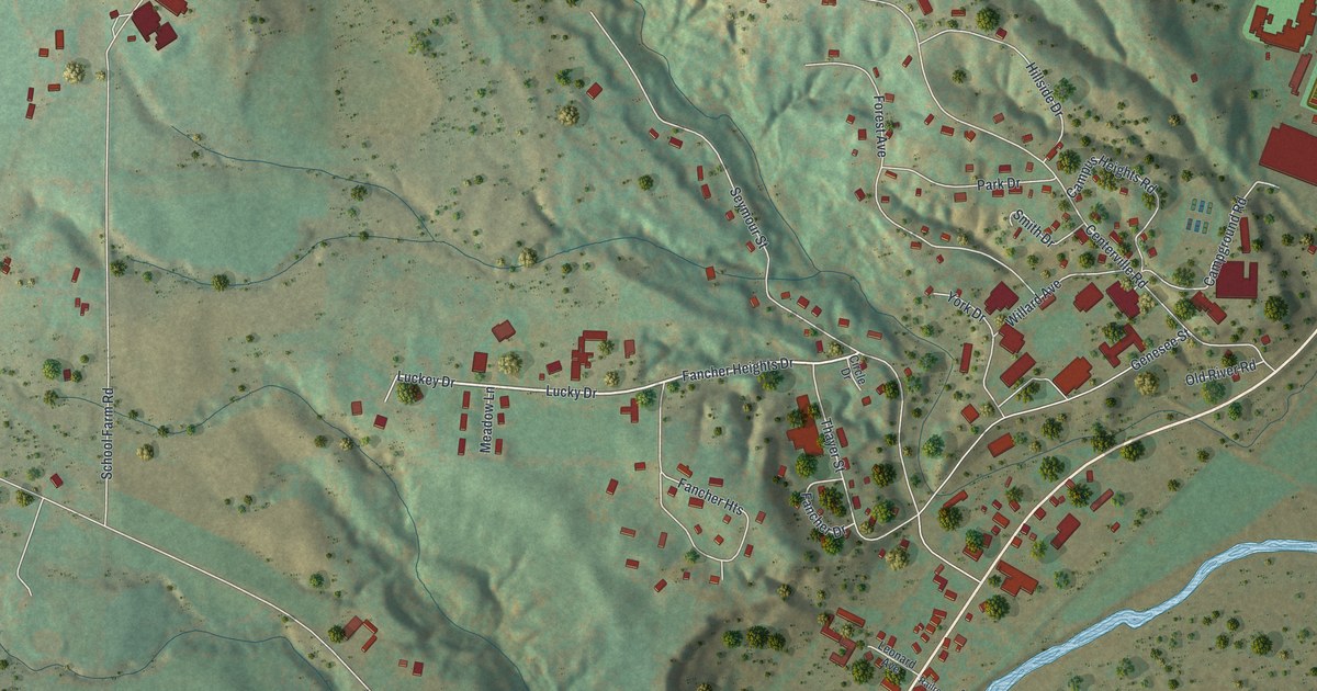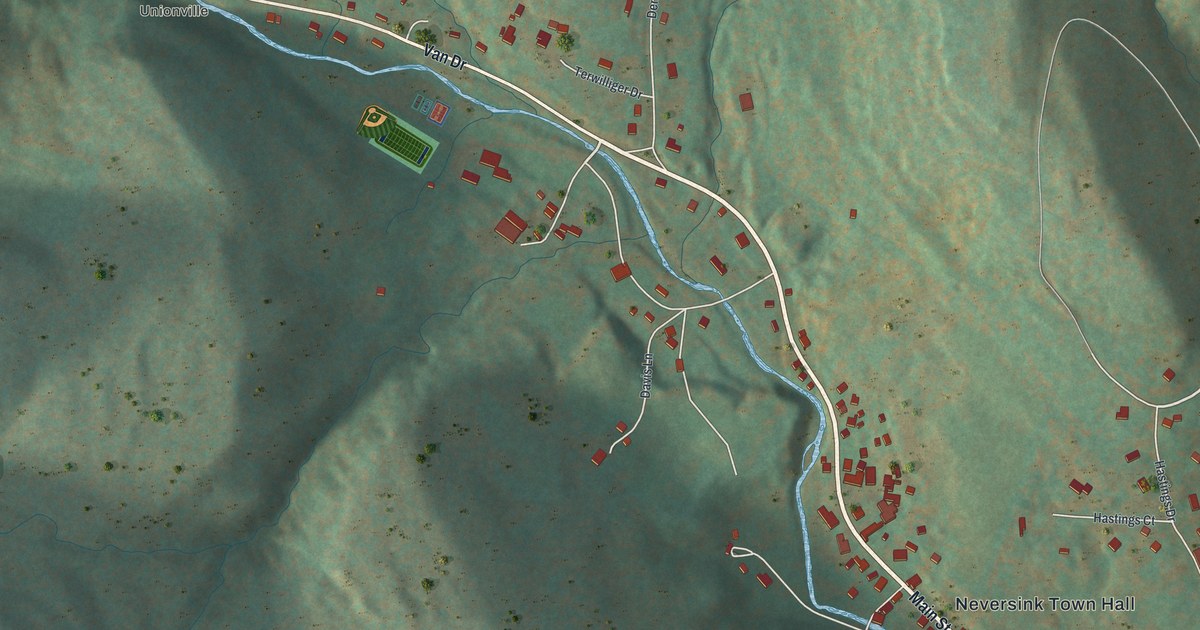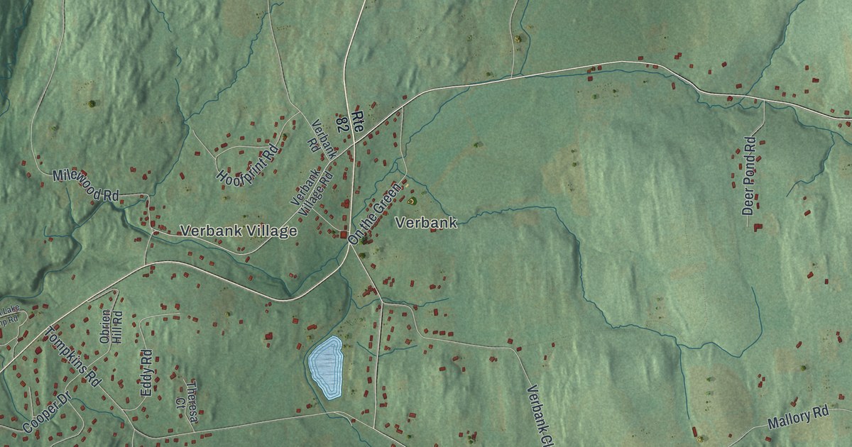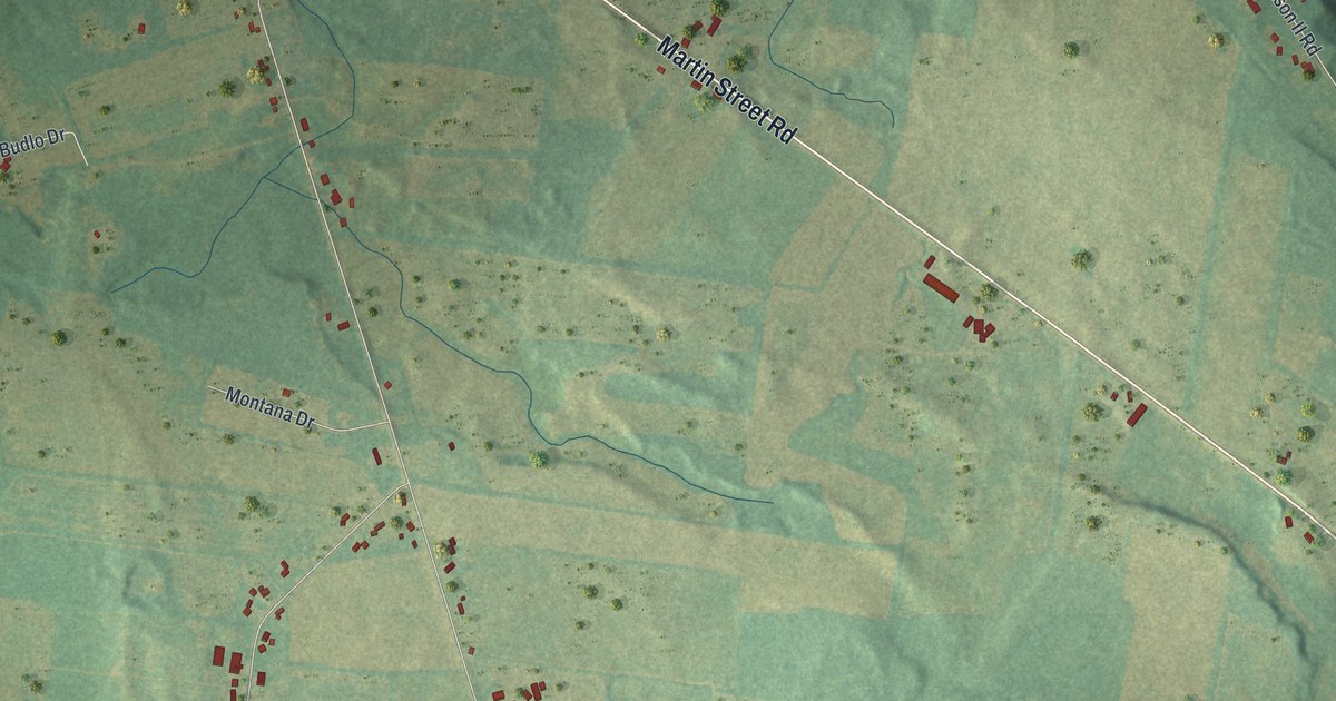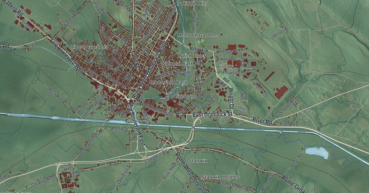
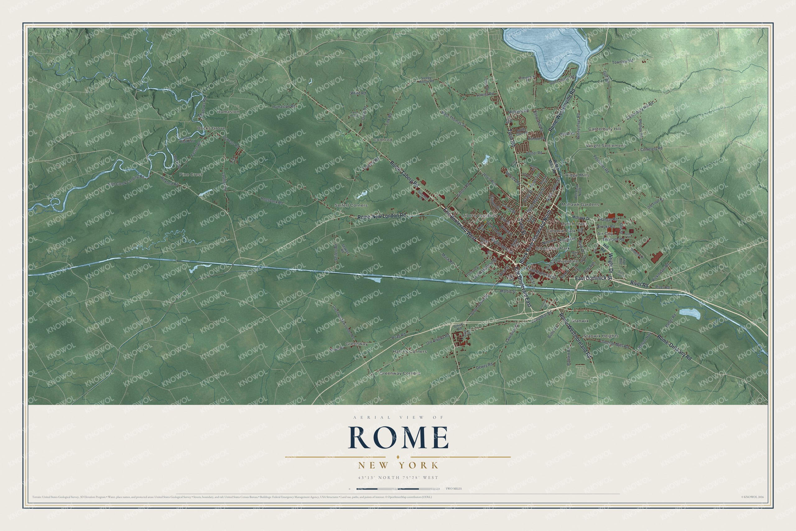
This beautifully detailed map of Rome, New York was created in 2026 using aerial imagery combined with modern topographical, census, street and landmark data. It’s a one-of-a-kind view of Rome that combines accurate data with a vintage aesthetic. The map shows every building in its true location, many of the roads carry their names, and the shaded topographic relief shows the shape of the land.
Explore an aerial view of Rome, New York
On the map you’ll find Air City, Becks Grove, Bloomfield Park, Canterbury Hill, and Colonial Park, along with Black River Boulevard, Turin Road, Turin Street, Dominick Street, River Road, and more. If you look closely you can even find your house accurately drawn in its correct location. Zoom in on the preview to look for yours.
Did You Know?
In 1851, Jesse Williams opened the first cheese factory in the United States, right here in Rome. He also worked out the method still used to make cheese on a large scale. Fifteen years later, about 500 New York cheese factories were running the same way.
Take a closer look at the Rome map
Names on this map
These names are printed on this map.
Places: Air City, Becks Grove, Bloomfield Park, Canterbury Hill, Colonial Park, Coonrod, Greenway, Greenway Corners, Hatchs Corners, Humaston, Liberty Gardens, Lynch Tract, Mohawk Gardens, Pine Crest, Ridge Mills, Riverdale, Seifert Corners, Stanwix, Stanwix Heights and Wright Settlement.
Streets and roads: Black River Boulevard North, Turin Road, Turin Street, East Dominick Street, River Road, Rome-Westernville Road, Wright Drive, Erie Boulevard West, Rome-Taberg Road, Rome-Oriskany Road, Rome-New London Road, Erie Boulevard East.
More street names, A to Z
Bartlett Road, Beck Road, Beck Road East, Bedford Street, Beech Street, Bell Road, Bell Road North, Bielby Road, Bishopp Road, Brooks Road, Brown Road, Brush Avenue, Butts Road, Caire Avenue, Calvert Street, Canterbury Hill Road, Cayuga Street, Cemetery Road, Chmielewski Road, Clinton Street, Coleman Mills Road, Craig Street, Dawn Drive, Day Avenue, Dewey Road, Ellsworth Road, Elmer Hill Road, Elm Street, First Street, Fish Creek Landing Road, Floyd Avenue, Forest Ridge Drive, Geiger Drive, Gifford Road, Golf Course Road, Gore Road, Greenfield Road, Greenway New London Road, Gulf Road, Halpin Road, Hangar Road, Henry Street, Hickory Street, Hill Road, Hoag Road, Hogsback Road, Humaston Road, Ivy Lane, Jervis Avenue, Lamphear Road, Laurel Street, Lauther Road, Lawrence Street, Link Road, Lorena Road, Mars Drive, Martin Street, Meadows Road, Merrick Road, Mill Street, Mohawk Drive, Muck Road, Neiss Avenue, Nelson Highway, New Street, Nock Street, North James Street, North Madison Street, Old Floyd Road, Old Oneida Road, Oswego Road, Otis Street, Park Drive, Passer Road, Pennystreet Road, Perimeter Road, Phillips Road, Phoenix Drive, Potter Road, Reber Road, Rickmeyer Road, Ridge Mills Road, Rome-Westmoreland Road, Roser Terrace, Saturn Drive, School Road, Seifert Road, Shakes Road, Sixth Street, Sleepy Hollow Road, South Glen Road, South James Street, South Jay Street, South Madison Street, South Titan Circle, Success Drive, Taft Avenue, Tannery Road, Thor Avenue, Townline Road, Turner Street, West Embargo Street, West Liberty Street, West Street, West Thomas Street, Wexford Road, White Road, Williams Road, William Street, Wilson Road.
See it on a wall
The Rome map as a framed print. Swipe for more.


This beautifully detailed map of Rome makes an attractive addition to your office, library, or den, and it can even be used to teach children the geography and history of the area. It also makes a great gift for anyone who grew up in Rome or moved away. When you’re done exploring, click here to get your copy of the Rome map.