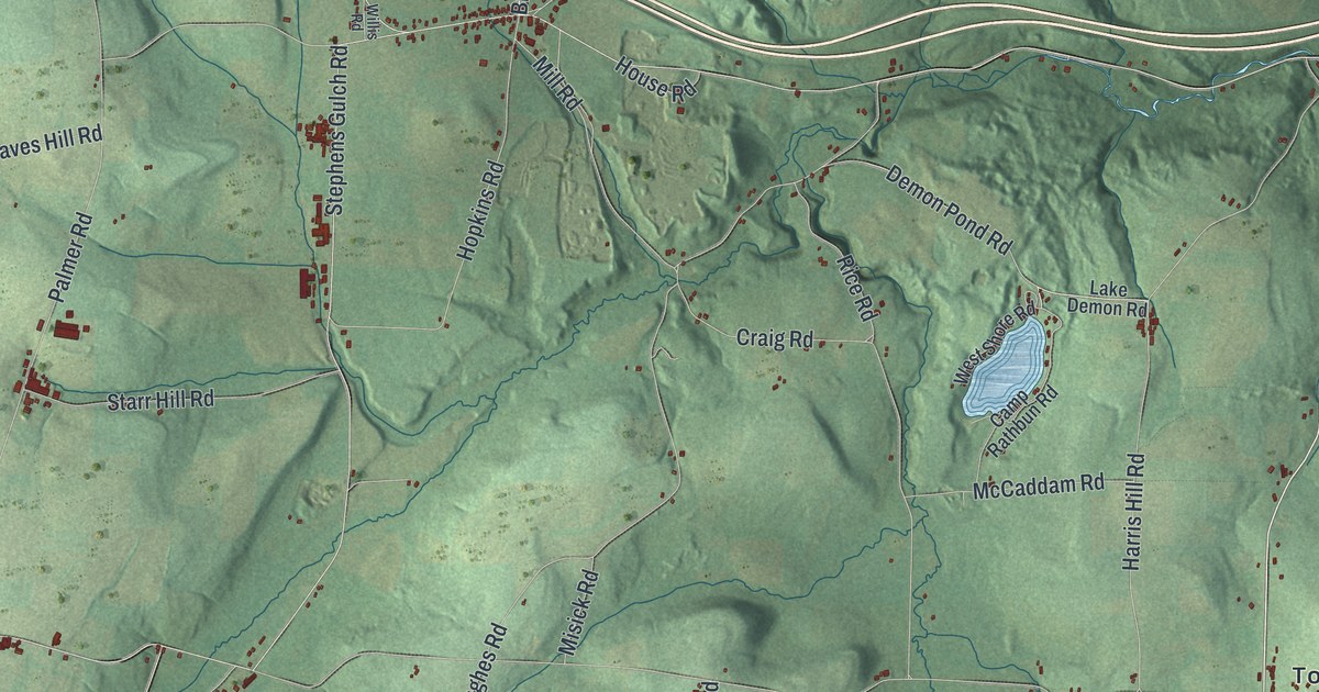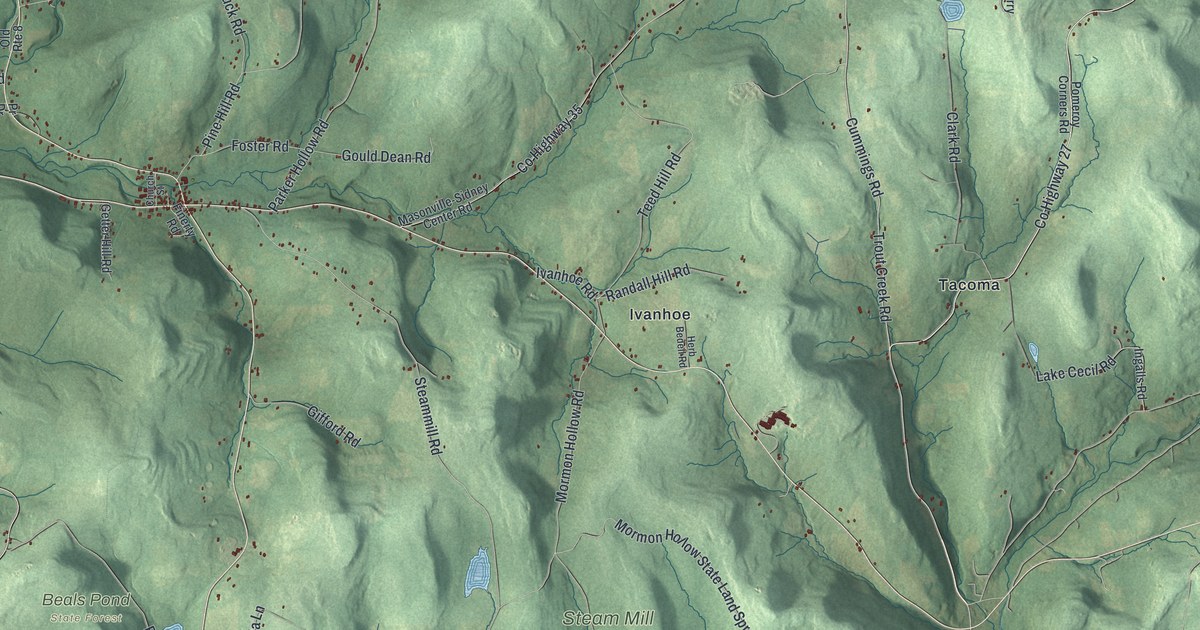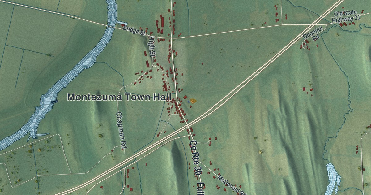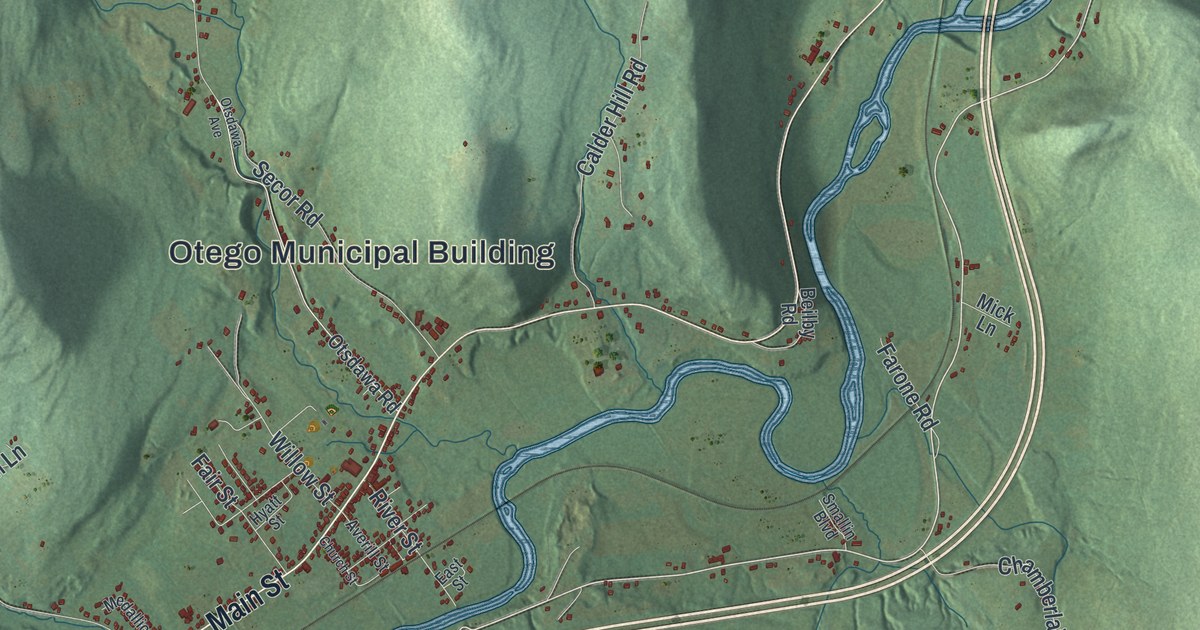
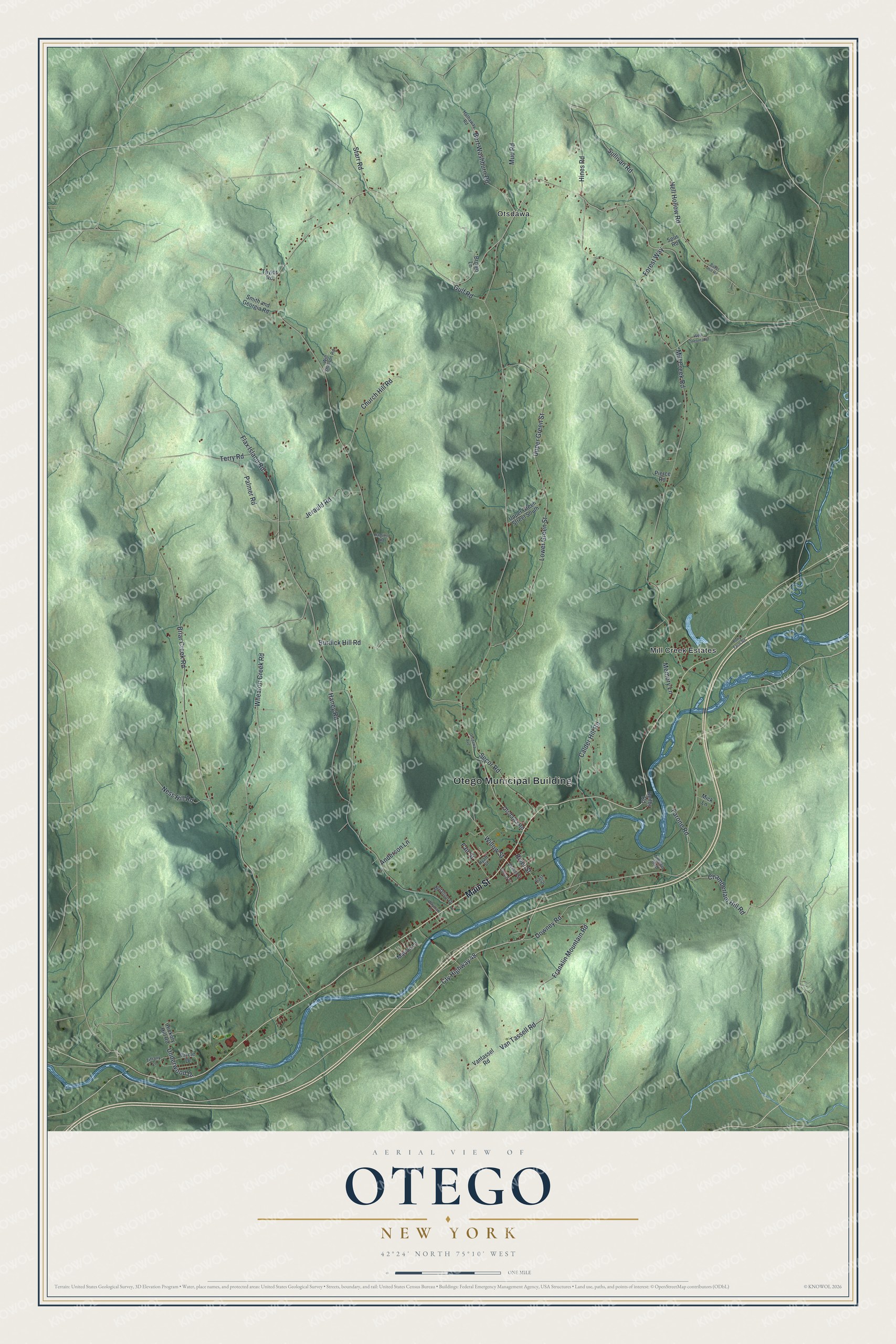
This beautifully detailed map of Otego, New York was created in 2026 using aerial imagery combined with modern topographical, census, street and landmark data. It’s a one-of-a-kind view of Otego that combines accurate data with a vintage aesthetic. The map shows every building in its true location, many of the roads carry their names, and the shaded topographic relief shows the shape of the land.
Explore an aerial view of Otego, New York
On the map you’ll find Otego Municipal Building and Otsdawa, along with Main Street, Chamberlain Hill Road, Wheaton Creek Road, Van Tassell Road, and more. If you look closely you can even find your house accurately drawn in its correct location. Zoom in on the preview to look for yours.
Did You Know?
Otego began in 1822 as the Town of Huntsville, made from parts of Unadilla and Franklin. In 1830 part of Milford was added, and the town became Otego. Early growth was slow because German settlers and New Englanders did not get along.
Take a closer look at the Otego map
Names on this map
These names are printed on this map.
Places: Otego Municipal Building, Mill Creek Estates and Otsdawa.
Streets and roads: Main Street, Chamberlain Hill Road, Wheaton Creek Road, Cty Highway 48, Van Tassell Road, Briar Creek Road, Flax Island Road, Mill Creek Road, Lower Green Street, Upper Green Street, Franklin Mountain Road, Hell Hollow Road.
More street names, A to Z
Anderson Lane, Averill Street, Baker Hill Road, Beilby Road, Bert Washburn Road, Brown Lane, Burdick Hill Road, Calder Hill Road, Church Hill Road, Church Street, Circle Drive, Downey Road, East Street, Fair Street, Farone Road, Forest Way, Gulf Road, Hamilton Road, Haney Road, Hathaway Road, Hickory Hill Road, Hines Road, Hyatt Street, Jerauld Road, Marion Lane, Medallion Drive, Memory Lane, Mick Lane, Mud Road, Ness Hill Road, Otsdawa Avenue, Otsdawa Road, Palmer Road, Pierce Road, Pony Farm Road, River Street, Secor Road, Smallin Boulevard, Smith and Georgia Road, Spur Road, Starr Road, Sullivan Road, Taylor Road, Terry Road, Tiffany Lane, Underwood Drive, Upper Green Street South, Vantassel Road, Wayman Drive, West Oneonta Road, Willow Street, Will Sheldon Road.
See it on a wall
The Otego map as a framed print. Swipe for more.


This beautifully detailed map of Otego makes an attractive addition to your office, library, or den, and it can even be used to teach children the geography and history of the area. It also makes a great gift for anyone who grew up in Otego or moved away. When you’re done exploring, click here to get your copy of the Otego map.