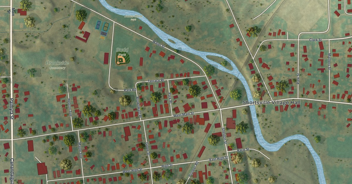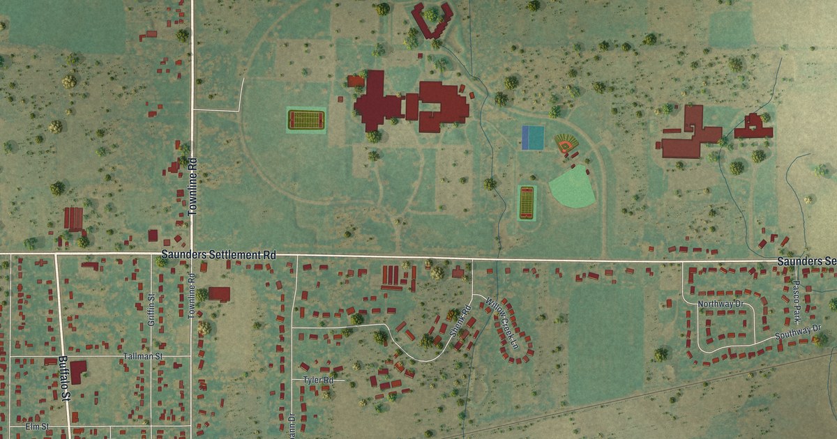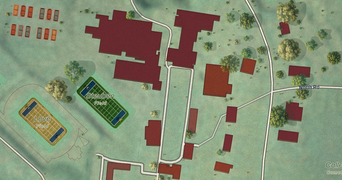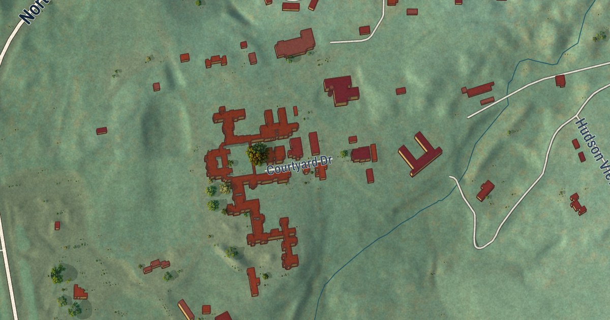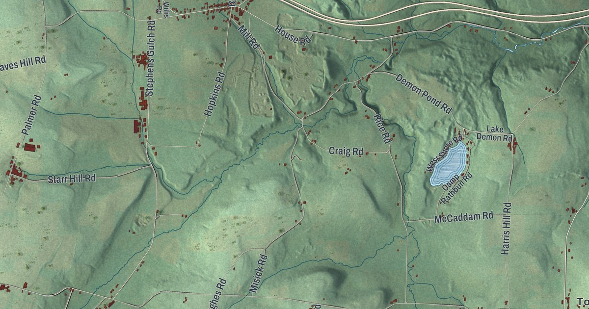
This beautifully detailed map of Howard, New York was created in 2026 using aerial imagery combined with modern topographical, census, street and landmark data. It’s a one-of-a-kind view of Howard that combines accurate data with a vintage aesthetic. The map shows every building in its true location, many of the roads carry their names, and the shaded topographic relief shows the shape of the land.
Explore an aerial view of Howard, New York
On the map you’ll find Buena Vista, Butcher Corner, and Towlesville, along with Brasted District Road, Bakers Gulch Road, Neils Creek Road, Buena Vista Towlesville Road, McChesney Road, and more. If you look closely you can even find your house accurately drawn in its correct location. Zoom in on the preview to look for yours.
Take a closer look at the Howard map
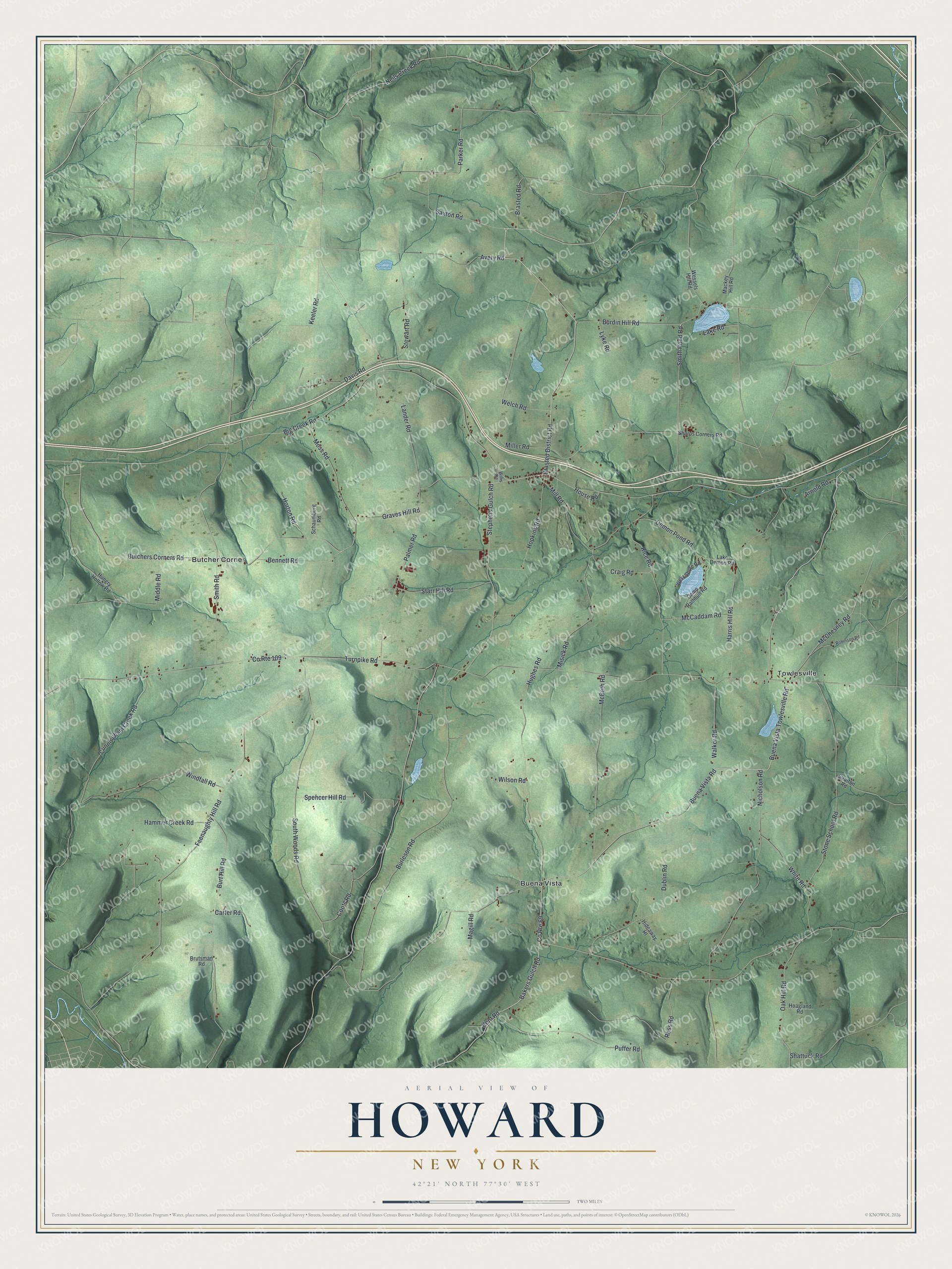
Names on this map
These names are printed on this map.
Places: Buena Vista, Butcher Corner and Towlesville.
Streets and roads: County Route 69, Brasted District Road, Bakers Gulch Road, Neils Creek Road, Buena Vista Towlesville Road, McChesney Road, Puffer Road, Moss Road, Smith Pond Road, Parker Road, Turnpike Road, Stephens Gulch Road.
More street names, A to Z
Arnold Road, Avery Road, Bennett Road, Big Creek Road, Brasted Road, Brutsman Road, Buena Vista Road, Burdin Hill Road, Burleson Road, Burt Hill Road, Butchers Corners Road, Camp Rathbun Road, Carter Road, Coots Road, County Route 109, Craig Road, Cunningham Creek Road, Davis Road, Demon Pond Road, Dublin Road, Feenaughty Hill Road, Graves Hill Road, Hammer Creek Road, Harris Hill Road, Hideaway Hl, Hoagland Road, Hopkins Road, Horton Road, House Road, Hughes Road, Hungry Hollow Road, Keeler Road, Kent Road, Lake Demon Road, Lake Road, Lander Road, Lyke Road, Mackey Hill Road, Magill Road, McBeth Road, McCaddam Road, Middle Road, Miller Road, Mill Road, Misick Road, Nicholson Road, Oak Hill Road, Palmer Road, Rice Road, Robinson Road, Ross Road, Saxton Road, Schaumburg Road, Sharps Corners Road, Shattuck Road, Smith Road, South Woods Road, Spencer Hill Road, Starr Hill Road, Stewart Road, Stone School Road, Stratton Road, Walker Road, Welch Road, Wessels Hill Road, West Shore Road, White Road, Willis Road, Wilson Road, Windfall Road.
See it on a wall
The Howard map as a framed print. Swipe for more.


This beautifully detailed map of Howard makes an attractive addition to your office, library, or den, and it can even be used to teach children the geography and history of the area. It also makes a great gift for anyone who grew up in Howard or moved away. When you’re done exploring, click here to get your copy of the Howard map.