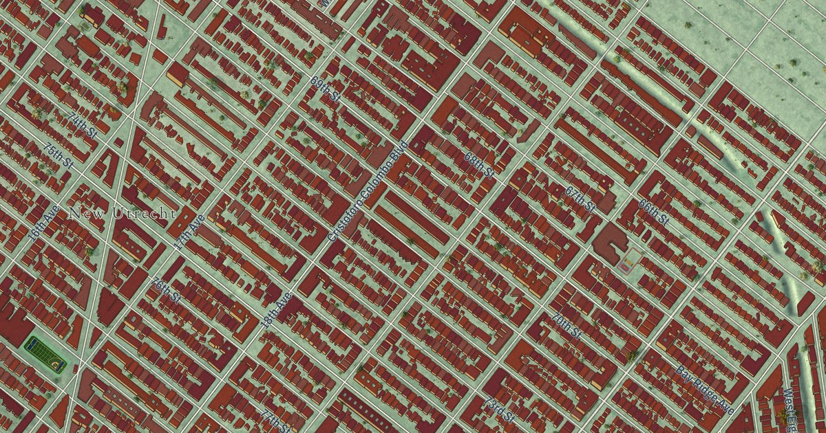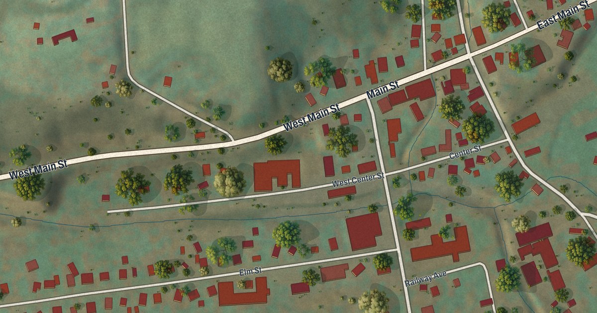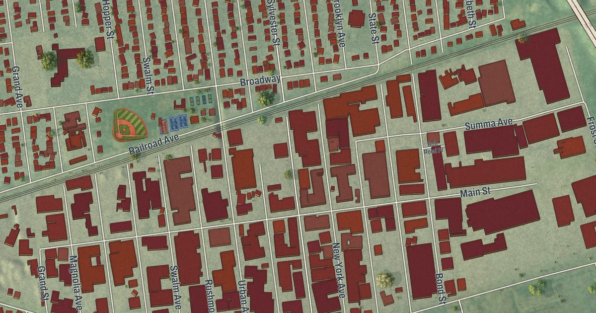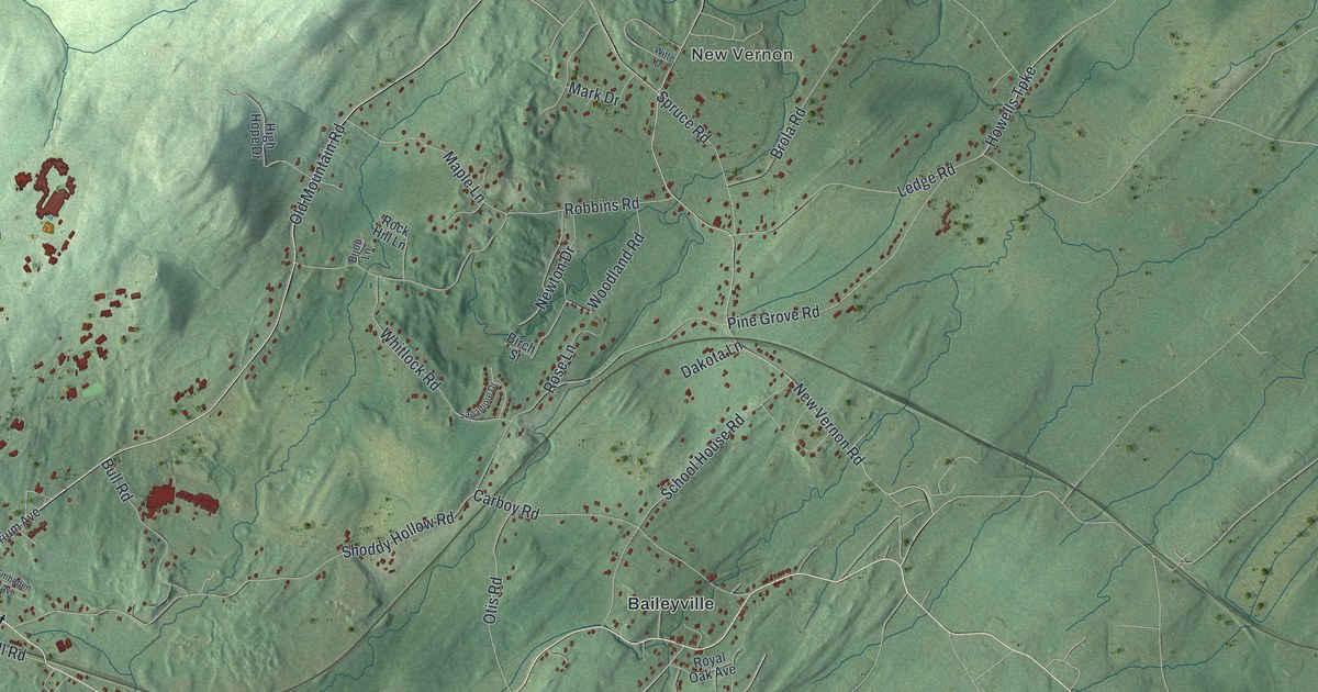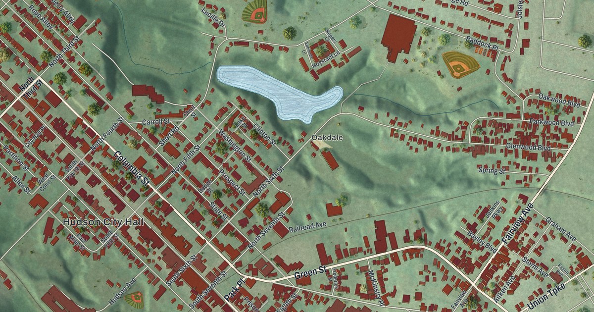
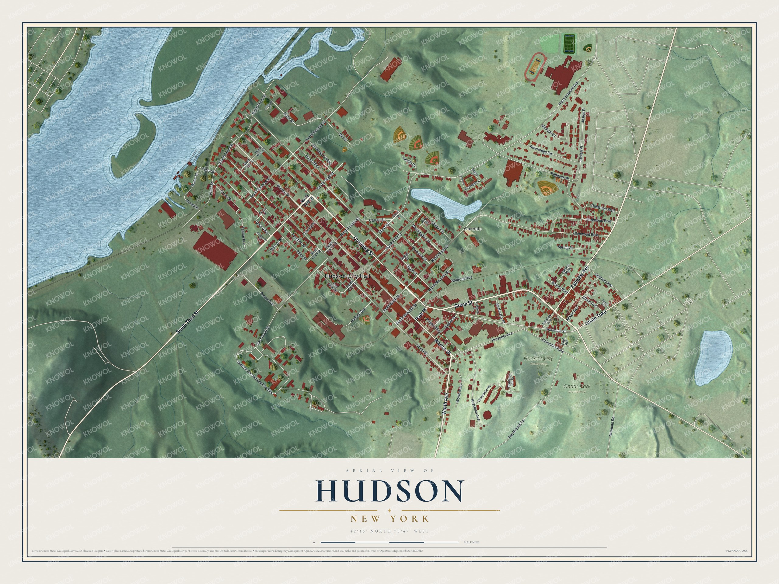
This beautifully detailed map of Hudson, New York was created in 2026 using aerial imagery combined with modern topographical, census, street and landmark data. It’s a one-of-a-kind view of Hudson that combines accurate data with a vintage aesthetic. The map shows every building in its true location, many of the roads carry their names, and the shaded topographic relief shows the shape of the land.
Explore an aerial view of Hudson, New York
On the map you’ll find Hudson City Hall, Oakdale, Cedar Park Cemetery, and Hudson City Cemetery, along with Columbia Street, Green Street, Worth Avenue, Warren Street, and more. If you look closely you can even find your house accurately drawn in its correct location. Zoom in on the preview to look for yours.
Did You Know?
In 1783 a fleet of Nantucket whalers dropped anchor here, carrying frames for new houses. Within a few years Hudson was a major port with 25 ships at sea. The War of 1812 idled the fleet. Whaling came back afterward, but the panic of 1837 ended it. That’s from the 1940 WPA guide to New York.
Take a closer look at the Hudson map
Names on this map
These names are printed on this map.
Places: Hudson City Hall, Oakdale, Cedar Park Cemetery and Hudson City Cemetery.
Streets and roads: Columbia Street, Green Street, Worth Avenue, Warren Street, Fairview Avenue, Park Place, South Third Street, Union Turnpike, Cross Street, South Second Street, South Front Street, North Seventh Street.
More street names, A to Z
Academy Hill Drive, Aitken Avenue, Allen Street, Bayley Boulevard, Broad Street, Carroll Street, City Hall Place, Clinton Street, Columbia Turnpike, Cross Lane, Deer Alley, Dock Street, Dodge Street, East Allen Street, East Court Street, Edmonds Lane, Eighth Street, Faxon Avenue, Ferry Street, Frederick Street, Front Street, Glenwood Boulevard, Graham Avenue, Harry Howard Avenue, Hoysradt Lane, Hudson Avenue, Hudson Correctional Facility, Jenkins Parkway, Jolslen Place, Joslen Place, Lake Street, Lombard Street, Lucille Drive, McKinstry Place, Michael Court, Mill Street, Montgomery Street, Newman Road, North Fifth Street, North First Street, North Fourth Street, North Front Street, North Second Street, North Sixth Street, North Third Street, Oakwood Boulevard, Paddock Place, Parkwood Boulevard, Partition Street, Paul Avenue, Power Avenue, Prison Alley, Prospect Avenue, Prospect Street, Railroad Avenue, Riverledge Road, Rogers Lane, Rope Alley, Rossman Avenue, Short Road, Short Street, South Fifth Street, South First Street, South Fourth Street, South Seventh Street, South Sixth Street, Spring Street, State Street, Storm Avenue, Strawberry Alley, Tanners Lane, Ten Broeck Lane, Union Street, Vanwinkle Road, Washington Street, Water Street, West Court Street, Willard Place, Worth Alley.
See it on a wall
The Hudson map as a framed print. Swipe for more.


This beautifully detailed map of Hudson makes an attractive addition to your office, library, or den, and it can even be used to teach children the geography and history of the area. It also makes a great gift for anyone with Hudson roots. When you’re done exploring, click here to get your copy of the Hudson map.