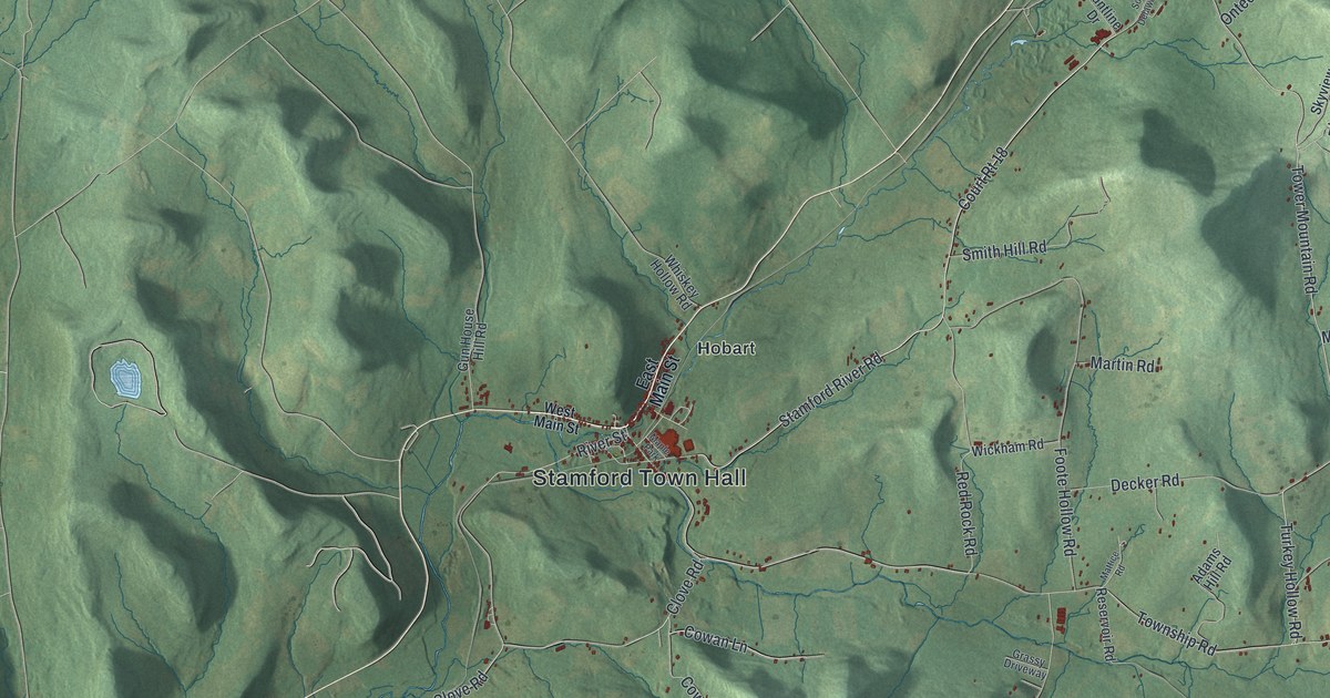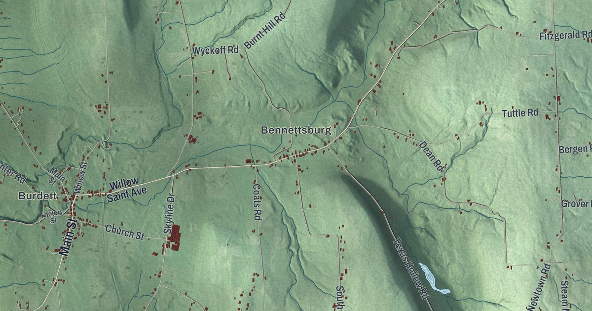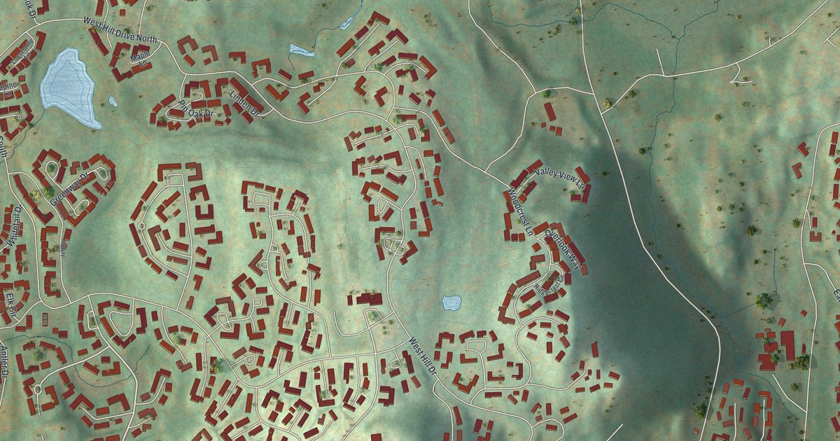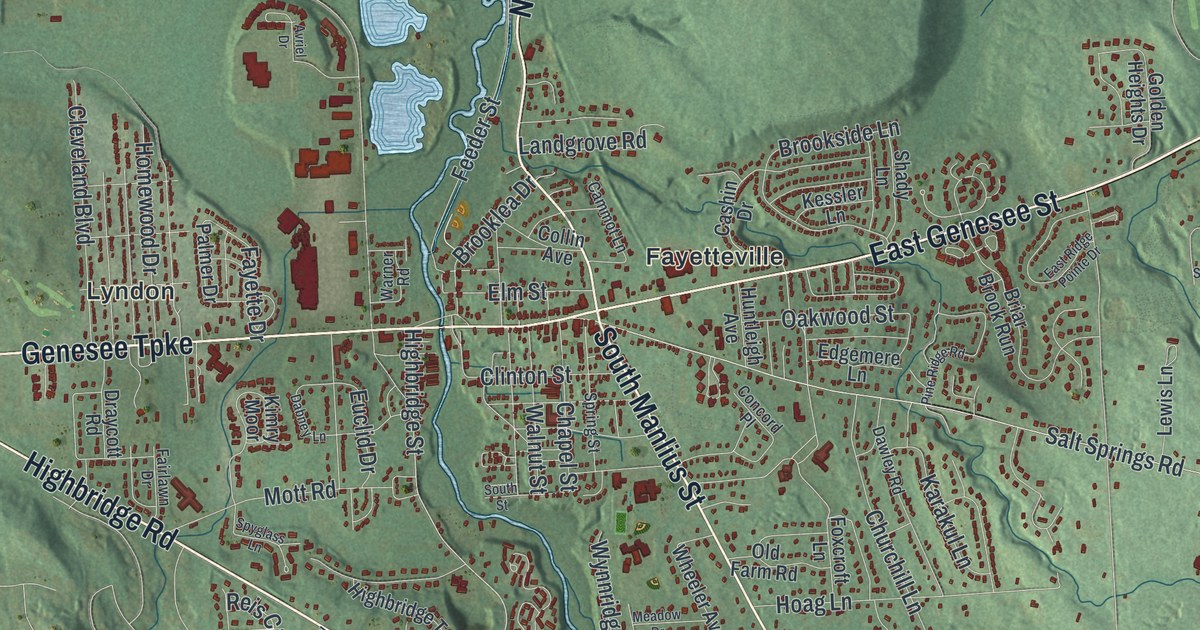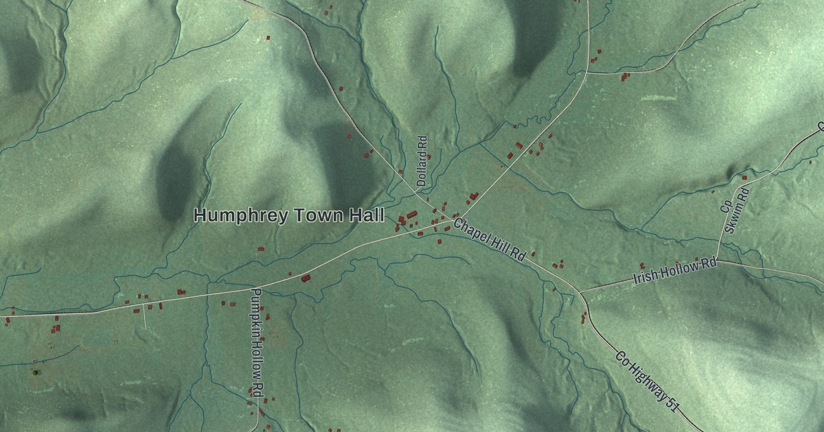
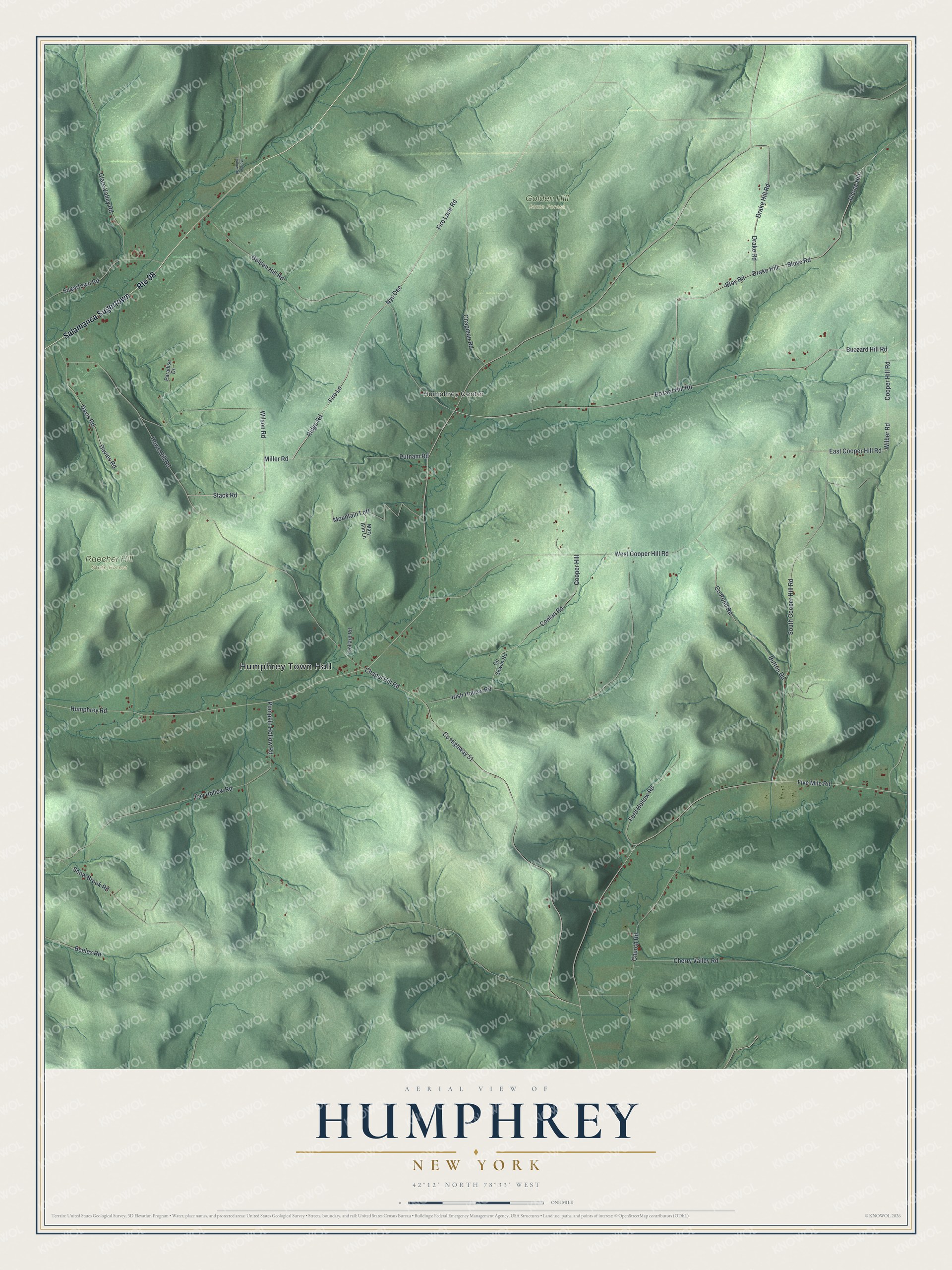
This beautifully detailed map of Humphrey, New York was created in 2026 using aerial imagery combined with modern topographical, census, street and landmark data. It’s a one-of-a-kind view of Humphrey that combines accurate data with a vintage aesthetic. The map shows every building in its true location, many of the roads carry their names, and the shaded topographic relief shows the shape of the land.
Explore an aerial view of Humphrey, New York
On the map you’ll find Humphrey Town Hall, Salamanca Sugertown, Humphrey Center, Golden Hill State Forest, and Raecher Hill State Forest, along with Cooper Hill Road, Wilber Road, Fire Lane Road, and more. If you look closely you can even find your house accurately drawn in its correct location. Zoom in on the preview to look for yours.
Did You Know?
Humphrey honors Charles Humphrey, Speaker of the New York State Assembly when the town was founded in 1836. Its first permanent settler was Russell Chapell. He came from Schenectady County in 1815. He and his wife built a log house beside Sugartown Creek.
Take a closer look at the Humphrey map
Names on this map
These names are printed on this map.
Places: Humphrey Town Hall, Humphrey Center, Golden Hill State Forest and Raecher Hill State Forest.
Streets and roads: Salamanca Sugertown, Route 98, Cooper Hill Road, Wilber Road, East Cooper Hill Road, Fire Lane Road, Nys Dec, Fire Lane, Miller Road, Ridge Road, Bozard Hill Road, Buzzard Hill Road.
More street names, A to Z
Beeles Road, Bloye Road, Bloy Road, Button Road, Chapel Hill Road, Chapman Road, Cherry Valley Road, Church Road, Clare Valley Road, Conlan Road, Cooper Hill, Co Pond Road, County Highway 51, Cp Skwim Road, Davies Road, Davis Road, Dollard Road, Drake Hill, Drake Hill Road, Drake Road, Fay Hollow Road, Five Mile Road, Ford Hollow Road, Golden Hill Road, Howe Hill Road, Humphrey Road, Irish Hollow Road, Mary Ann Lane, Morgan Hollow Road, Mountain Loft, Paradise Drive, Pierce Hill, Pumpkin Hollow Road, Putnam Road, Snow Brook Road, South Cooper Hill Road, Stack Road, Sugartown Road, West Cooper Hill Road, Wilson Road.
See it on a wall
The Humphrey map as a framed print. Swipe for more.


This beautifully detailed map of Humphrey makes an attractive addition to your office, library, or den, and it can even be used to teach children the geography and history of the area. It also makes a great gift for anyone with Humphrey roots. When you’re done exploring, click here to get your copy of the Humphrey map.