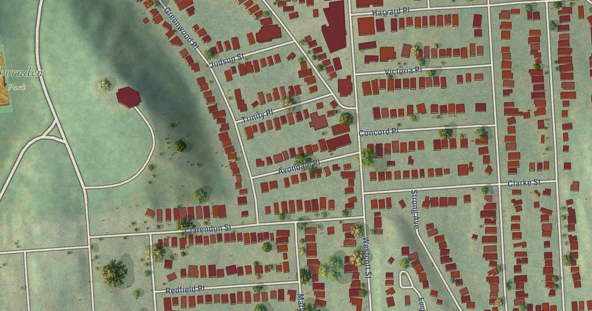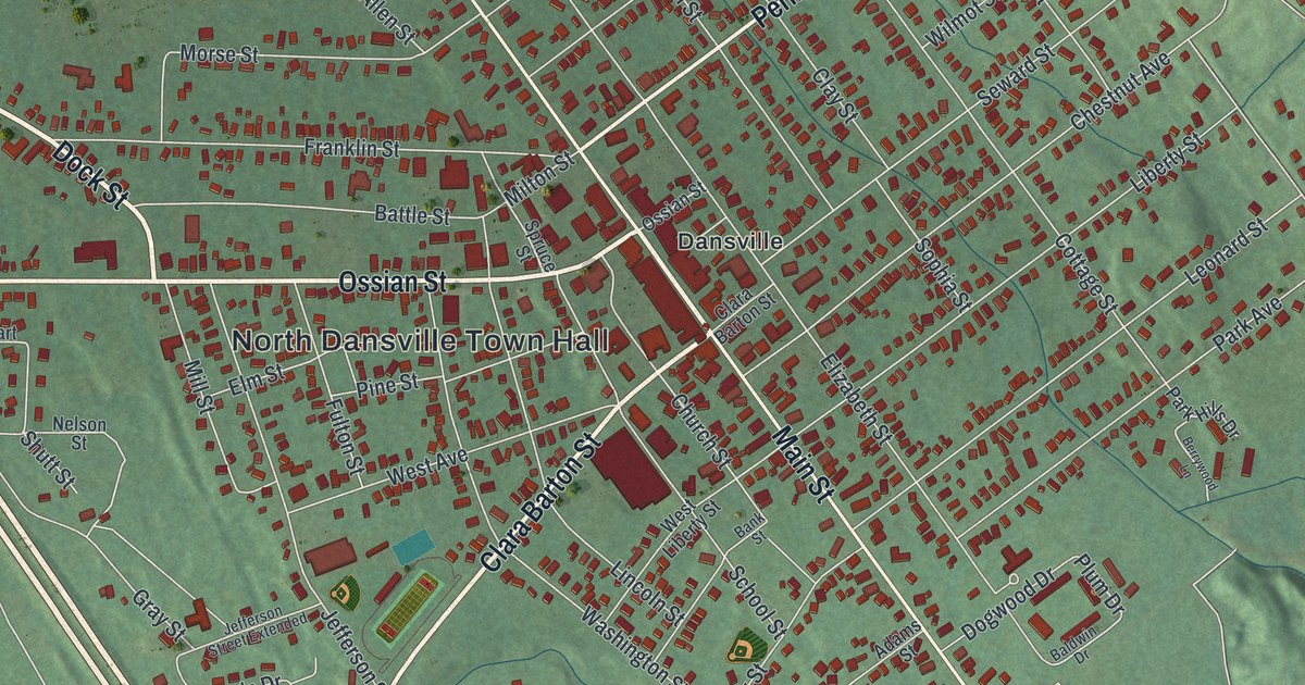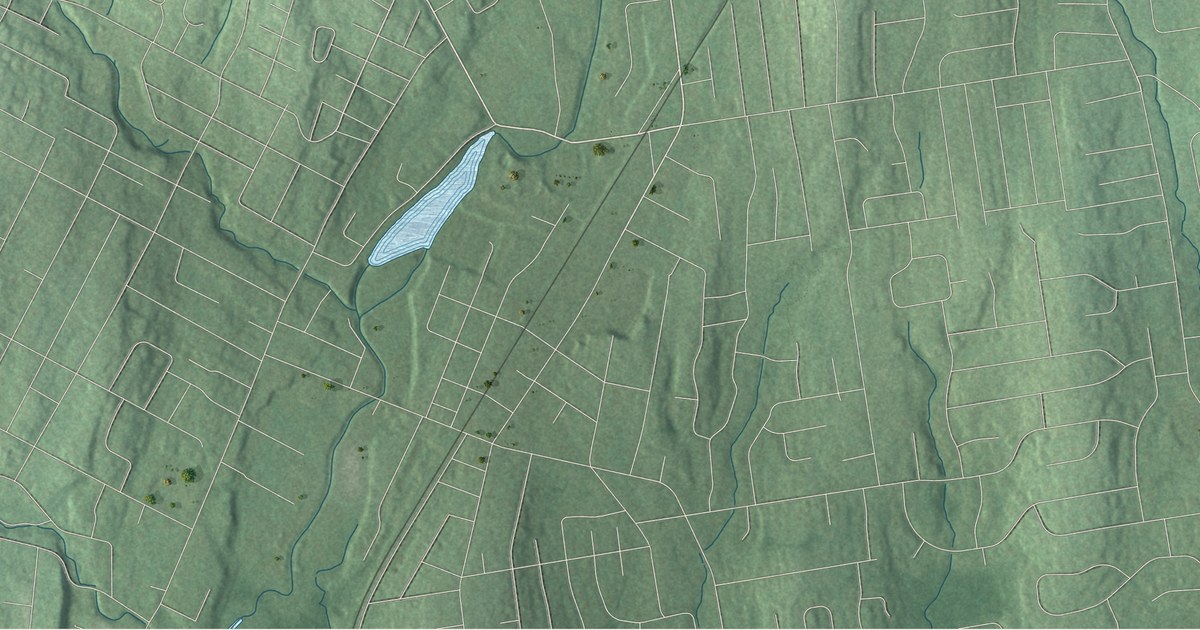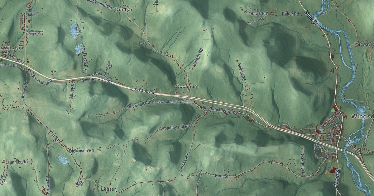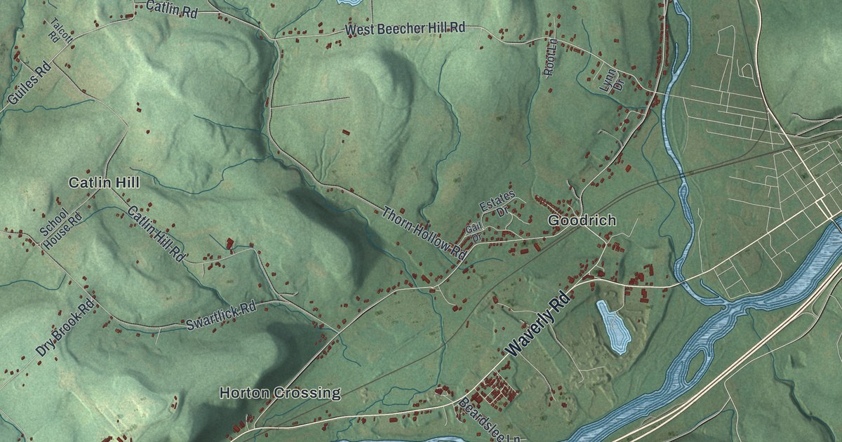
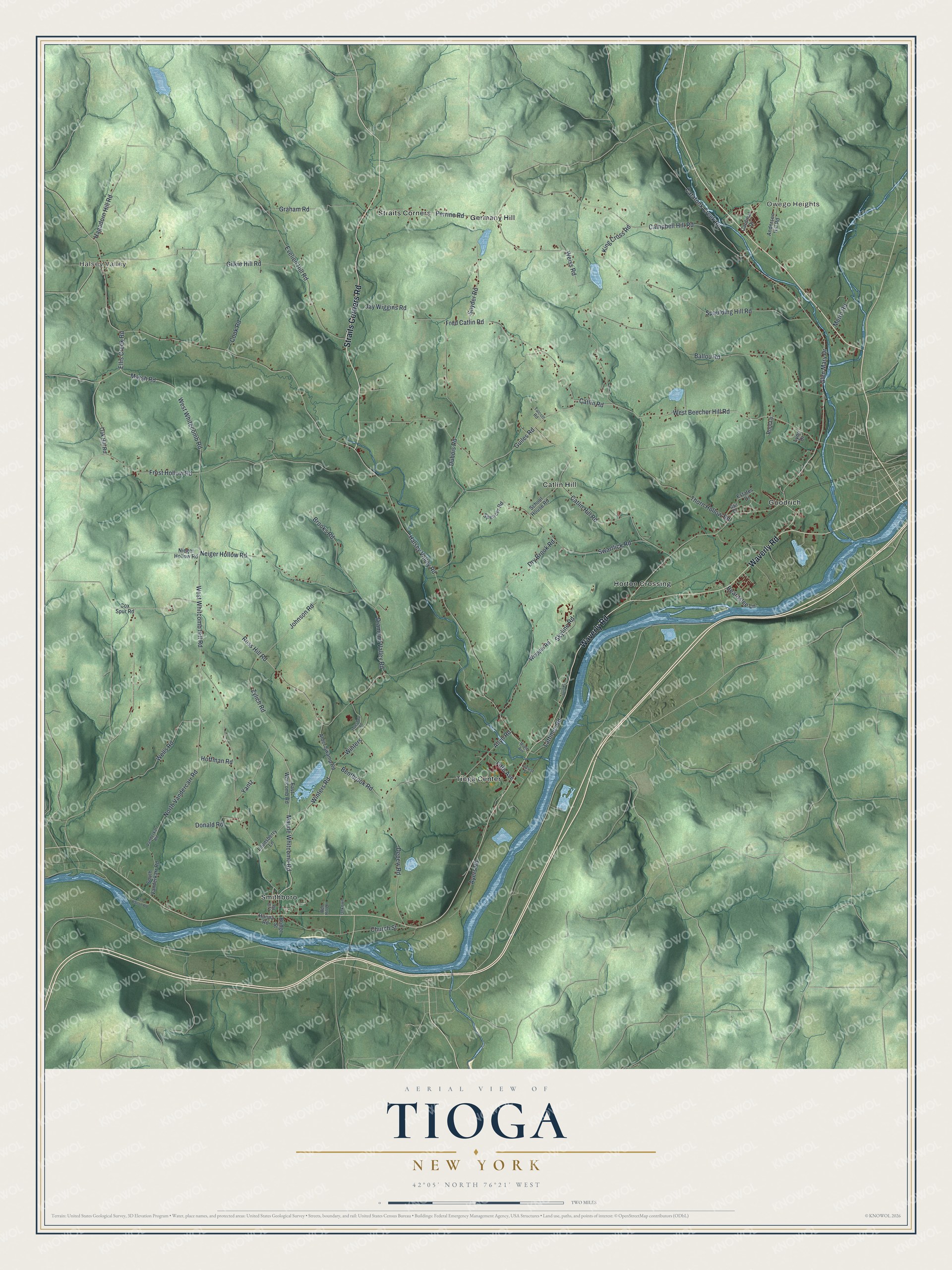
This beautifully detailed map of Tioga, New York was created in 2026 using aerial imagery combined with modern topographical, census, street and landmark data. It’s a one-of-a-kind view of Tioga that combines accurate data with a vintage aesthetic. The map shows every building in its true location, many of the roads carry their names, and the shaded topographic relief shows the shape of the land.
Explore an aerial view of Tioga, New York
On the map you’ll find Halsey Valley, Owego Heights, Catlin Hill, Germany Hill, and Goodrich, along with Waverly Road, Straits Corners Road, Ross Hill Road, Winters Road, Maude Whitcomb Road, and more. If you look closely you can even find your house accurately drawn in its correct location. Zoom in on the preview to look for yours.
Did You Know?
Tioga was organized in 1788, before its county existed, as part of the Old Town of Chemung. In 1791 it was renamed Owego. Then in 1818 it traded names with its neighbor, the present Town of Owego, and became Tioga. The first settlers arrived around 1792.
Take a closer look at the Tioga map
Names on this map
These names are printed on this map.
Places: Halsey Valley, Owego Heights, Catlin Hill, Germany Hill, Goodrich, Horton Crossing, Smithboro, Straits Corners and Tioga Center.
Streets and roads: Waverly Road, Straits Corners Road, Ross Hill Road, Winters Road, Maude Whitcomb Road, Catlin Road, West Beecher Hill Road, Diamond Valley Road, Guiles Road, Bentbrook Road, West Whitecomb Road, Perrine Road.
More street names, A to Z
Alder Swamp Road, Allyn Road, Anderson Hill Road, Ayers Road, Ballou Road, Beardslee Lane, Ben Hill Drive, Bridge Street, Brooks Road, Campbell Hill Road, Cardinal Drive, Catatonk Creek Road, Catlin Hill Road, Church Street, Cook Road, Cox Spur Road, Depew Road, Donald Road, Dry Brook Road, Dubois Road, East Whitcomb Road, Ellis Creek Road, Estates Drive, Evelien Hill Road, Fifth Avenue, Fred Catlin Road, Frost Hollow Road, Gail Drive, Gilkie Hill Road, Glen Mary Drive, Graham Road, Hagadorn Hill Road, Halsey Valley Road, Hanna Road, Hoffman Road, Jay Wiggins Road, Johnson Road, King Cross Road, Lattimer Road, Locust Street, Lounsberry Lane, Lyle Road, Lynn Drive, Maple Avenue, Marsh Road, Metro Road, Neiger Hollow Road, Nieger Hollow Road, North Vandercarr Road, Oak Hill Road, Old Barton Road, Root Lane, School House Road, Skyline Drive, Skyline Road, Snyder Road, South Vanderkarr Road, Spaulding Hill Road, Spencer Road, Swartlick Road, Talcott Road, Thorn Hollow Road, Truesdale Road, Unkown, Vanderkarr Road, Weiss Road, Wells Road, West Whitcomb Hill Road, Whipple Road, Winters, Yantz, Zylich Road.
See it on a wall
The Tioga map as a framed print. Swipe for more.


This beautifully detailed map of Tioga makes an attractive addition to your office, library, or den, and it can even be used to teach children the geography and history of the area. It also makes a great gift for anyone who grew up in Tioga or moved away. When you’re done exploring, click here to get your copy of the Tioga map.