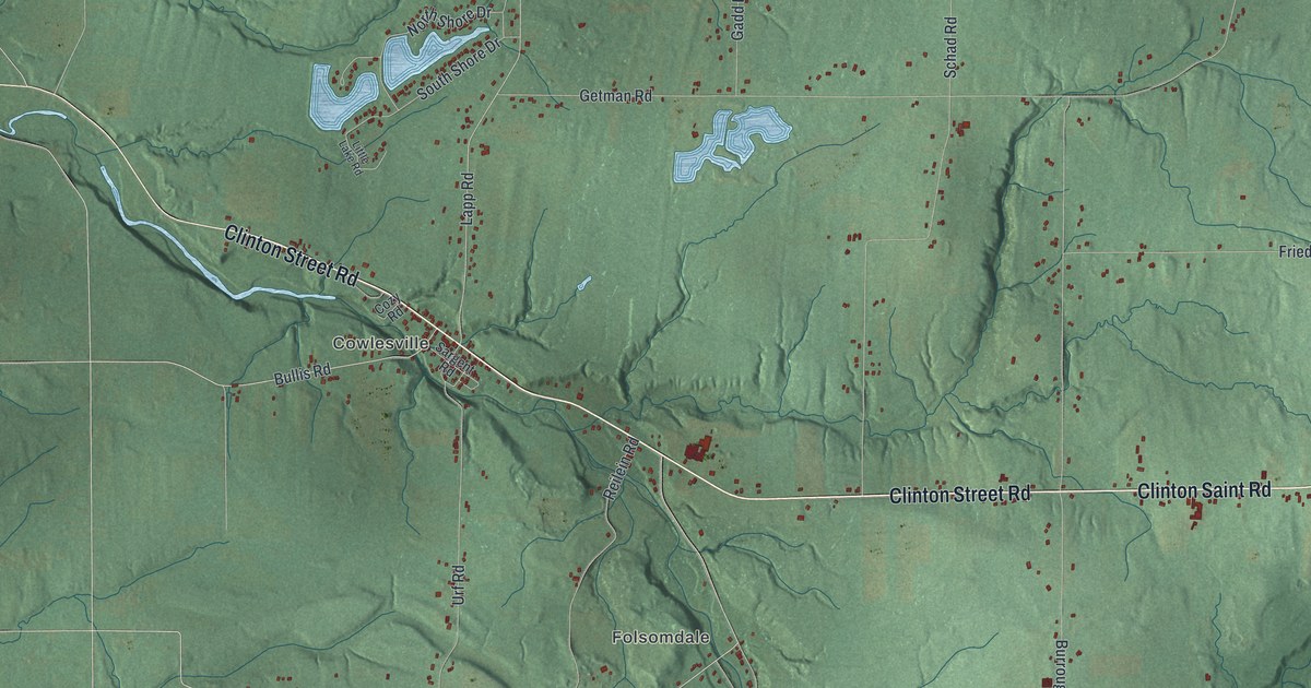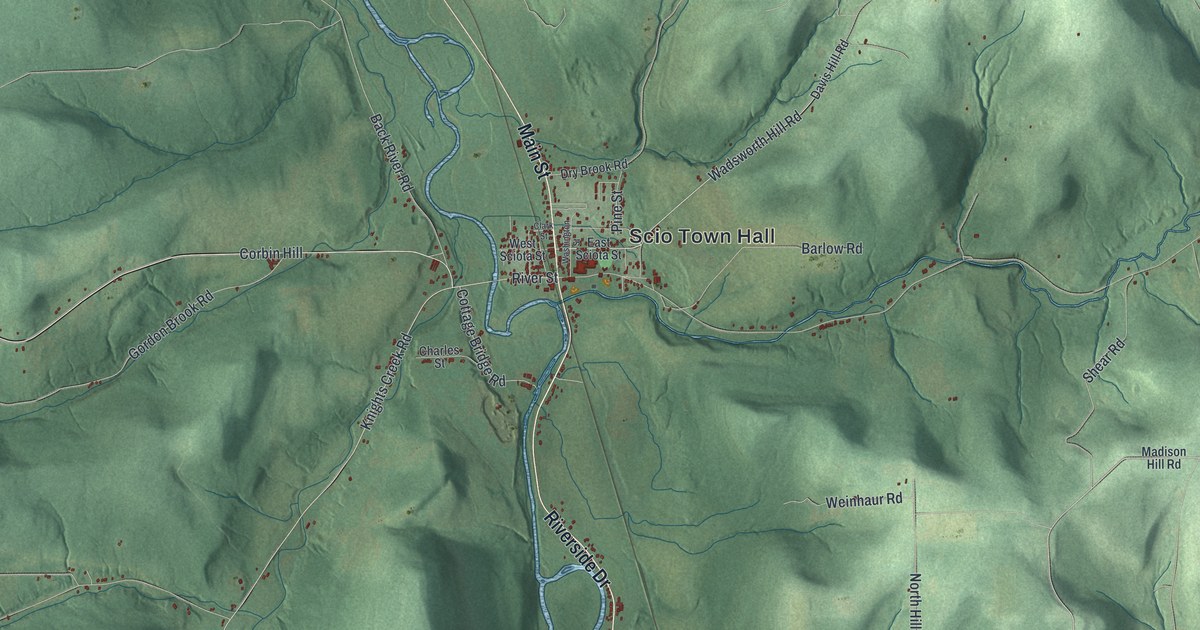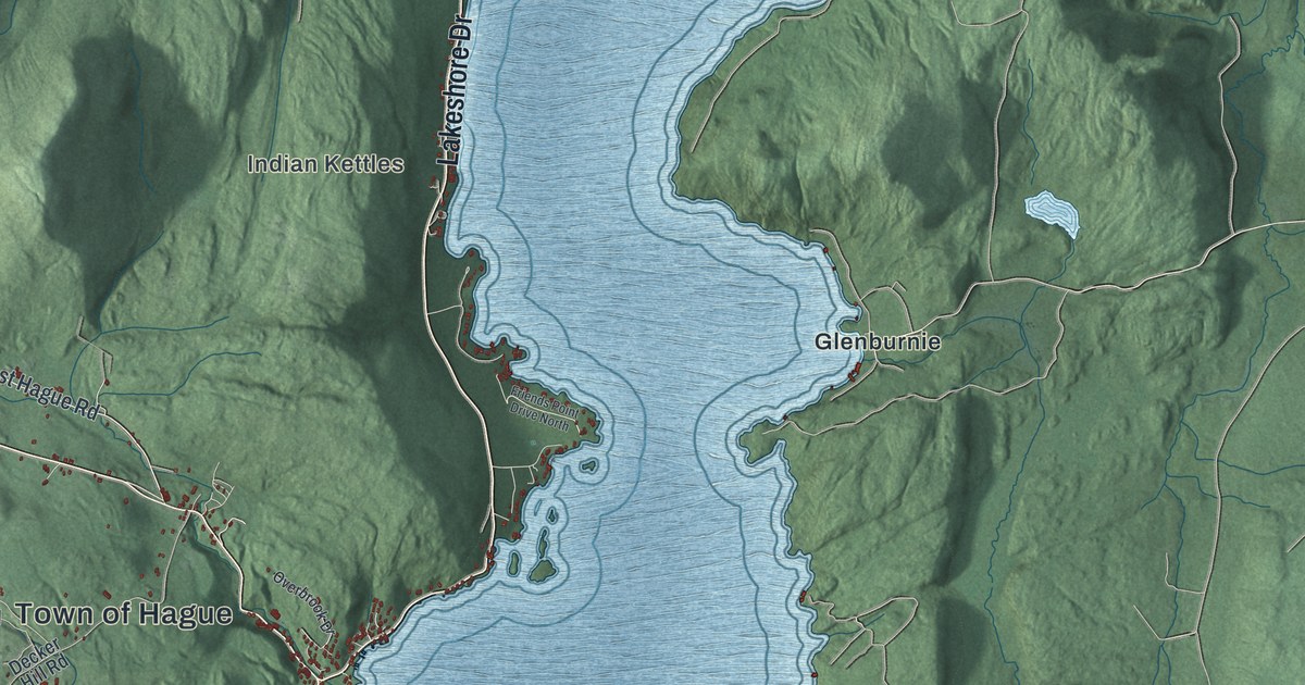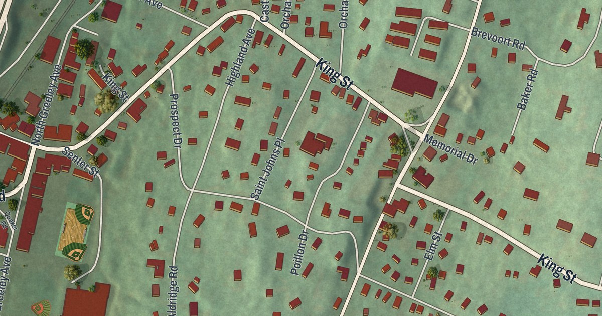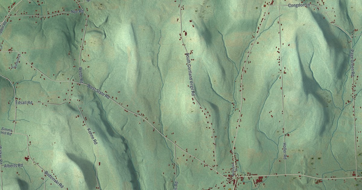
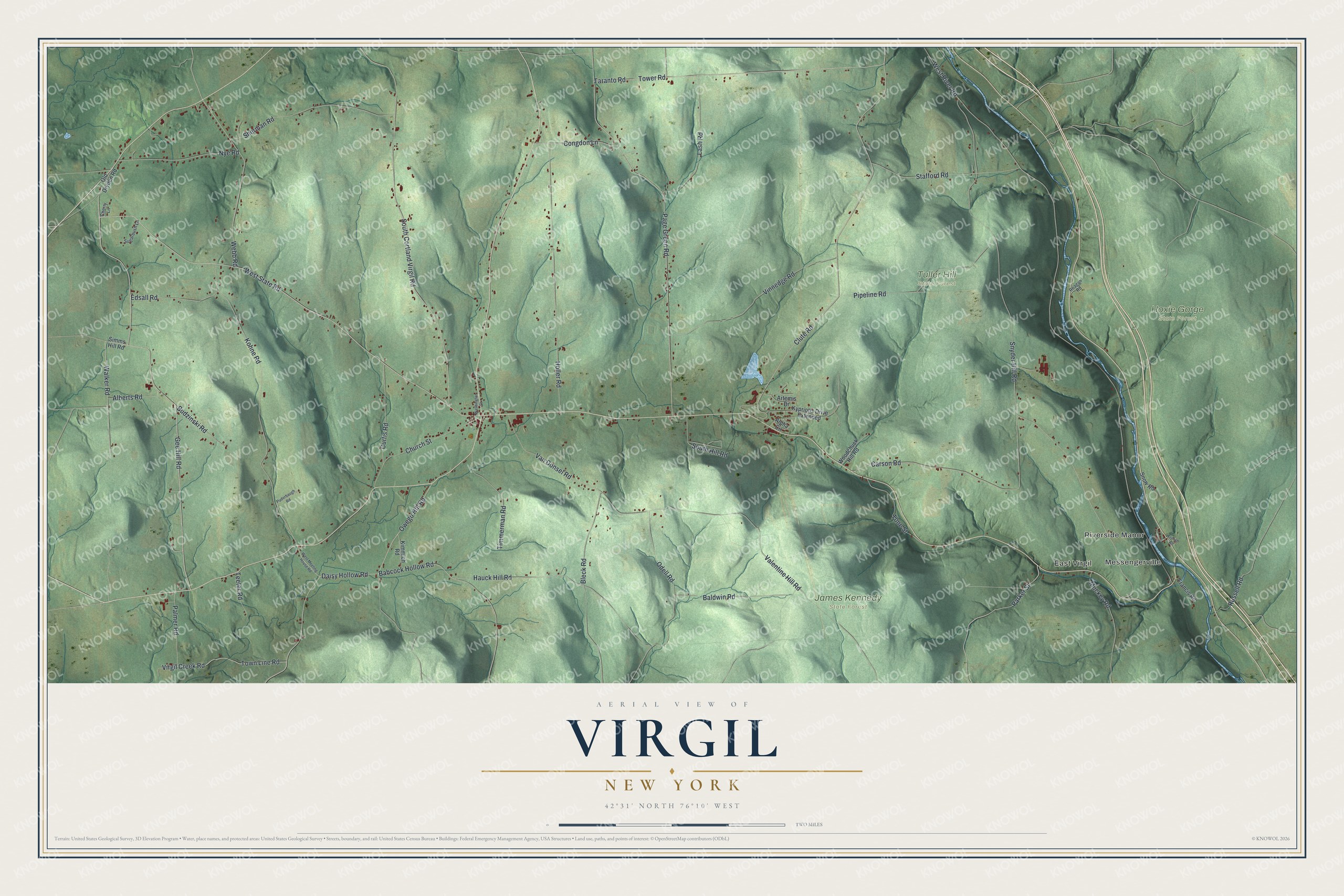
This beautifully detailed map of Virgil, New York was created in 2026 using aerial imagery combined with modern topographical, census, street and landmark data. It’s a one-of-a-kind view of Virgil that combines accurate data with a vintage aesthetic. The map shows every building in its true location, many of the roads carry their names, and the shaded topographic relief shows the shape of the land.
Explore an aerial view of Virgil, New York
On the map you’ll find Messengerville, East Virgil, Hoxie Gorge State Forest, James Kennedy State Forest, and Tuller Hill State Forest, along with State Road, Clute Road, Gee Hill Road, Tower Road, Town Line Road, and more. If you look closely you can even find your house accurately drawn in its correct location. Zoom in on the preview to look for yours.
Did You Know?
Virgil carries the name of the ancient Roman poet. The land was part of the Military Tract, set aside to pay soldiers who fought in the American Revolution. A clerk who loved the Classics gave its townships names like this one. Settlers came around 1792, and Virgil split from Homer in 1804.
Take a closer look at the Virgil map
Names on this map
These names are printed on this map.
Places: Messengerville, Riverside Manor, East Virgil, Hoxie Gorge State Forest, James Kennedy State Forest and Tuller Hill State Forest.
Streets and roads: West State Road, Clute Road, Gee Hill Road, Tower Road, Town Line Road, West River Road, Snyder Hill Road, Page Green Road, Holler Road, South Cortland Virgil Road, Kohne Road, Van Donsel Road.
More street names, A to Z
Alberts Road, Alpha Circle, Artemis Drive, Babcock Hollow Road, Baldwin Road, Bleck Road, Budzinski Road, Carson Road, Cherry Lane, Church Street, Congdon Lane, Curtis Road, Daisy Hollow Road, Edsall Road, Francis Road, French Road, Hauck Hill Road, Kimmich Road, Kypriotis Drive Extended, Lash Road, Muckey Road, Nye Road, Odell Road, Old Dryden Road, Owego Hill Road, Palmer Road, Parker Street, Pipeline Road, Puderbaugh Road, Reagan Road, Russell Road, Sherman Road, Simms Hill Road, Snow Road, South Hill Road, Stafford Road, Sugarbush Lane, Taranto Road, Teeter Road, Timmerman Road, Tone Street, Valentine Hill Road, Vinnedge Road, Virgil Creek Road, Walker Road, Washington Street, Webb Road, West Meeting House Road, Woodchuck Hill Road.
See it on a wall
The Virgil map as a framed print. Swipe for more.


This beautifully detailed map of Virgil makes an attractive addition to your office, library, or den, and it can even be used to teach children the geography and history of the area. It also makes a great gift for anyone with Virgil roots. When you’re done exploring, click here to get your copy of the Virgil map.