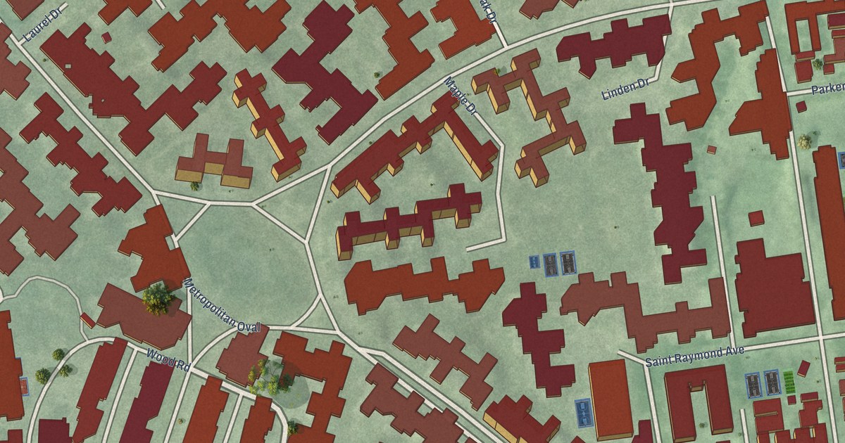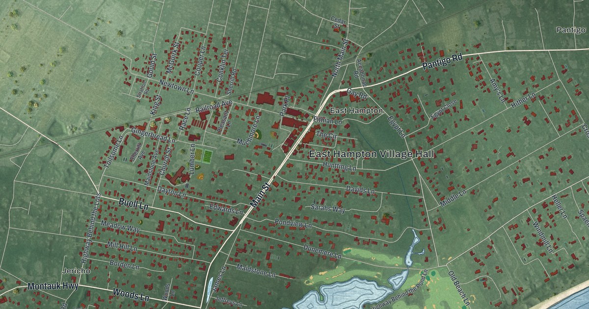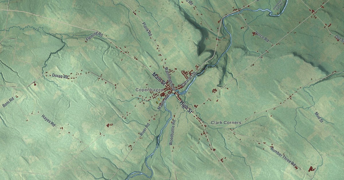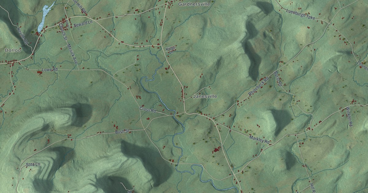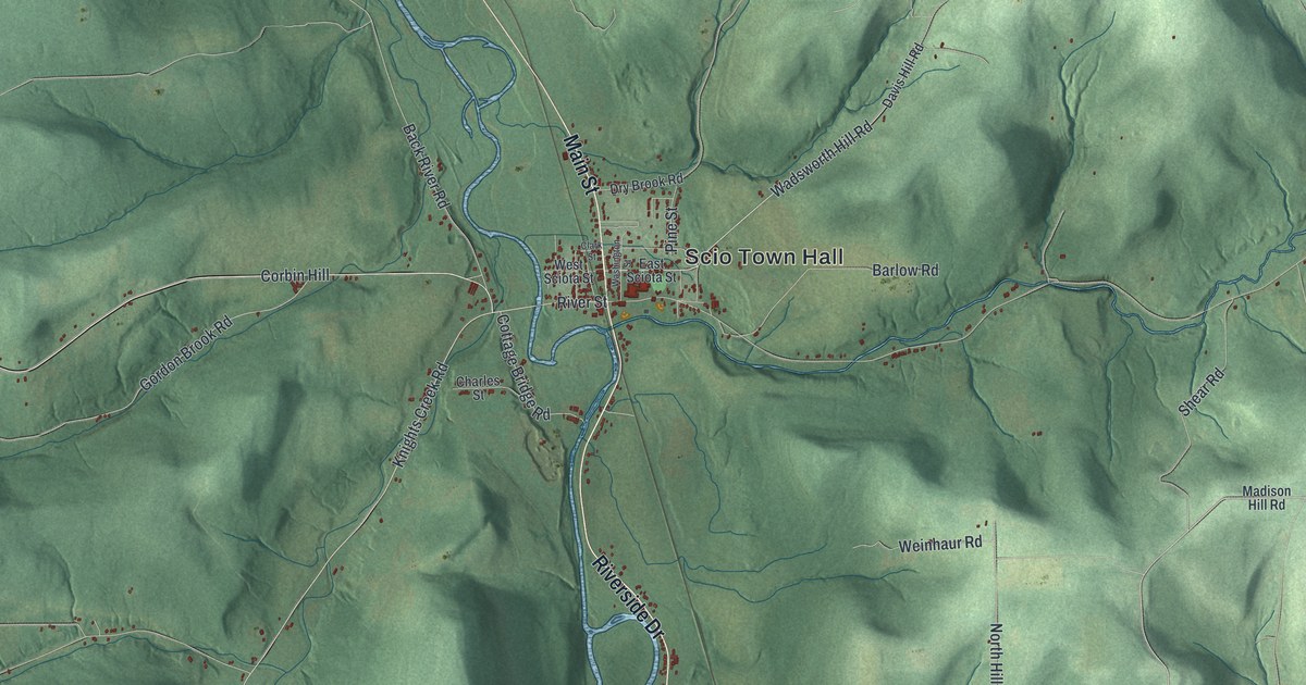
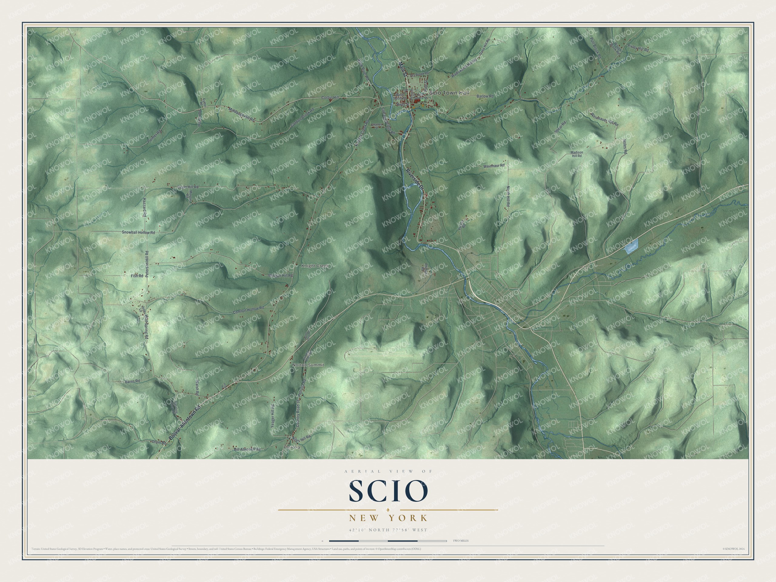
This beautifully detailed map of Scio, New York was created in 2026 using aerial imagery combined with modern topographical, census, street and landmark data. It’s a one-of-a-kind view of Scio that combines accurate data with a vintage aesthetic. The map shows every building in its true location, many of the roads carry their names, and the shaded topographic relief shows the shape of the land.
Explore an aerial view of Scio, New York
On the map you’ll find Scio Town Hall, Petrolia, Norton Summit, and Knight Creek, along with Bolivar-Allentown Road, Riverside Drive, Main Street, Niles Hill Road, and more. If you look closely you can even find your house accurately drawn in its correct location. Zoom in on the preview to look for yours.
Did You Know?
Joseph Knight settled Scio in 1805. He came from Oneida County and had served as a minuteman in the American Revolution. Knights Creek, which joins the Genesee River near Scio, carries his name. Scio became a town in 1823, carved from Angelica.
Take a closer look at the Scio map
Names on this map
These names are printed on this map.
Places: Scio Town Hall, Petrolia, Norton Summit and Knight Creek.
Streets and roads: Bolivar-Allentown Road, Riverside Drive, Main Street, Niles Hill Road, Petrolia Road, Corbin Hill, Middaugh Hill Road, Gordon Brook Road, Knights Creek Road, Snowball Hollow Road, Coyle Hill Road, Morgan Hill Road.
More street names, A to Z
Back River Road, Barlow Road, Barns Road, Bill Allen Hill Road, Brimmer Brook Road, Charles Street, Clark Street, Comfort Hollow Road, Cottage Bridge Road, Country Road 18, Davis Hill Road, Drum Road, Dry Brook Road, East Sciota Street, Eymer Road, Fish Road, Gasoline Alley Road, Hazzard Road, Hunter Road, June Lane, Lease Road, Madison Hill Road, Morgan Road, Noles Road, North Hill Road, Norton Hollow Road, Palmer Road, Peterson Hill Road, Phillips Road, Pine Street, Pixley Hill Road, Putt Brook Road, River Street, Shear Road, Vossler Road, Wadsworth Hill Road, Walsh Road, Washington Street, Waugh Brook Road, Weinhauer Hill Road, Weinhaur Road, West Sciota Street, Wolf Spring Road, Yeager Hill Road.
See it on a wall
The Scio map as a framed print. Swipe for more.


This beautifully detailed map of Scio makes an attractive addition to your office, library, or den, and it can even be used to teach children the geography and history of the area. It also makes a great gift for anyone with Scio roots. When you’re done exploring, click here to get your copy of the Scio map.