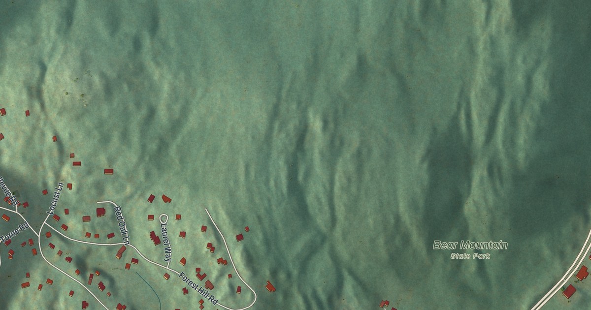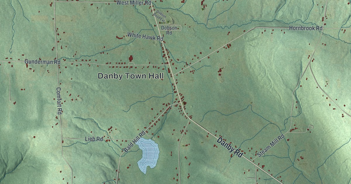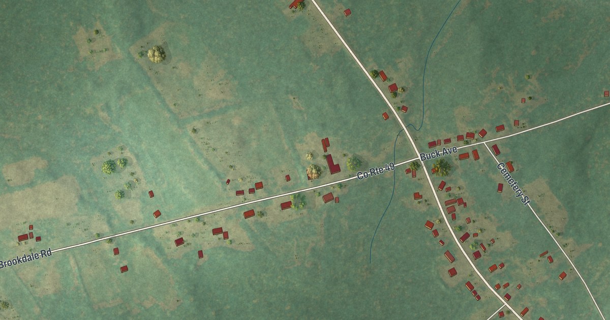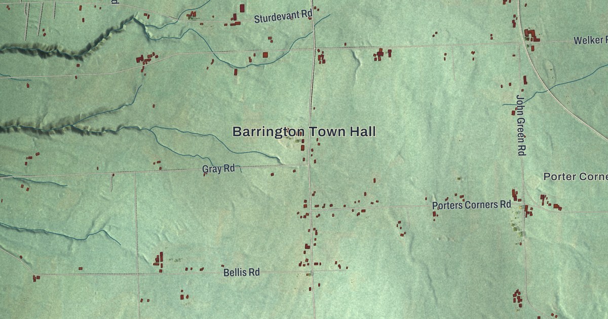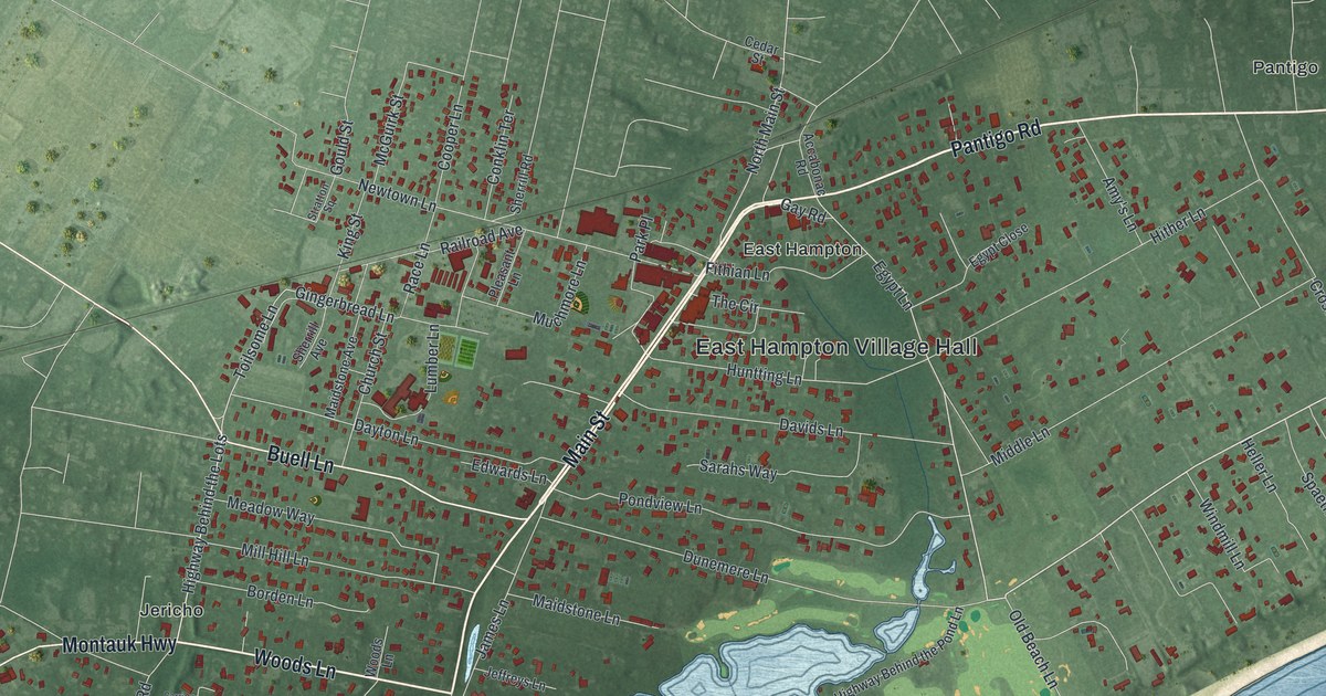
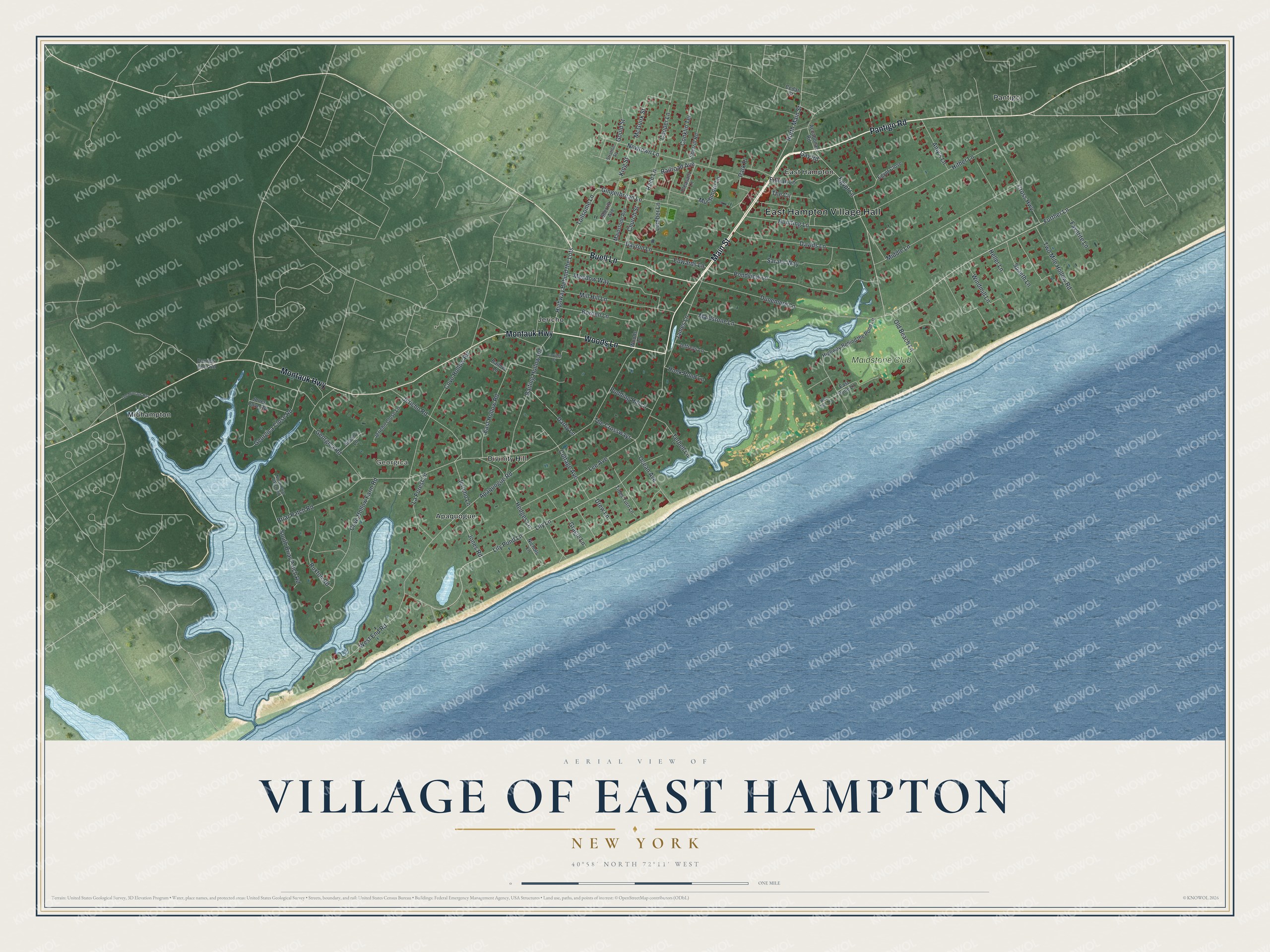
This beautifully detailed map of the Village of East Hampton, New York was created in 2026 using aerial imagery combined with modern topographical, census, street and landmark data. It’s a one-of-a-kind view of the Village of East Hampton that combines accurate data with a vintage aesthetic. The map shows every building in its true location, many of the roads carry their names, and the shaded topographic relief shows the shape of the land.
Explore an aerial view of the Village of East Hampton, New York
On the map you’ll find East Hampton Village Hall, Georgica, Apaquogue, Divinity Hill, Jericho, and Midhampton, along with Pantigo Road, Main Street, Woods Lane, Montauk Highway, and more. If you look closely you can even find your house accurately drawn in its correct location. Zoom in on the preview to look for yours.
Did You Know?
Puritan farmers founded the village in 1648. The governors of Connecticut and New Haven colonies bought the land from the Montauk that year. Settlers from Lynn and Salem, Massachusetts, then bought it, since they lacked room for their herds at home. They first called the village Maidstone.
Take a closer look at the Village of East Hampton map
Names on this map
These names are printed on this map.
Places: East Hampton Village Hall, Georgica, Apaquogue, Divinity Hill, East Hampton, Jericho, Midhampton, Pantigo and Maidstone Club.
Streets and roads: Pantigo Road, Main Street, Woods Lane, Montauk Highway, Buell Lane, Further Lane, Egypt Lane, Toilsome Lane, Highway Behind the Lots, North Main Street, Lily Pond Lane, Huntting Lane.
More street names, A to Z
Accabonac Road, Amy's Lane, Apaquogue Road, Bailow Lane, Baiting Hollow Road, Borden Lane, Briar Patch Road, Carriage Court, Cedar Street, Church Street, Conklin Terrace, Cooper Lane, Cottage Avenue, Cove Hollow Farm Road, Cove Hollow Road, Cross Highway, Daniels Hole Road, Darby Lane, Davids Lane, Dayton Lane, Drew Lane, Dunemere Lane, East Dune Lane, East Hollow Road, Edwards Lane, Egypt Close, Favorite Lane, Fithian Lane, Gay Road, Georgica Close Road, Georgica Road, Gingerbread Lane, Gould Street, Gracie Lane, Hedges Lane, Heller Lane, Highway Behind the Pond Lane, Hither Lane, Hook Pond Lane, James Lane, Jeffreys Lane, Jericho Close Lane, Jericho Lane, Jericho Road, Jones Cove Road, Jones Road, King Street, La Forest Lane, Lee Avenue, Lily Lane, Lumber Lane, Maidstone Avenue, Maidstone Lane, McGuirk Street, Meadow Way, Middle Lane, Mill Hill Lane, Muchmore Lane, Newtown Lane, Nichols Lane, North Briar Patch Road, Ocean Avenue, Old Beach Lane, Old Montauk Highway, Park Place, Pleasant Lane, Pondview Lane, Pudding Hill Lane, Race Lane, Railroad Avenue, Ruxton Road, Sarahs Way, Sherrill Avenue, Sherrill Road, South Briar Patch Road, Spaeth Lane, Stratton Square, Susan's Lane, Terbell Lane, The Circle, The Crossways, Tides Turn Lane, Two Mile Hollow Road, West Dune Lane, West End Road, Windmill Lane.
See it on a wall
The East Hampton map as a framed print. Swipe for more.


This beautifully detailed map of the Village of East Hampton makes an attractive addition to your office, library, or den, and it can even be used to teach children the geography and history of the area. It also makes a great gift for anyone who grew up in the Village of East Hampton or moved away. When you’re done exploring, click here to get your copy of the Village of East Hampton map.