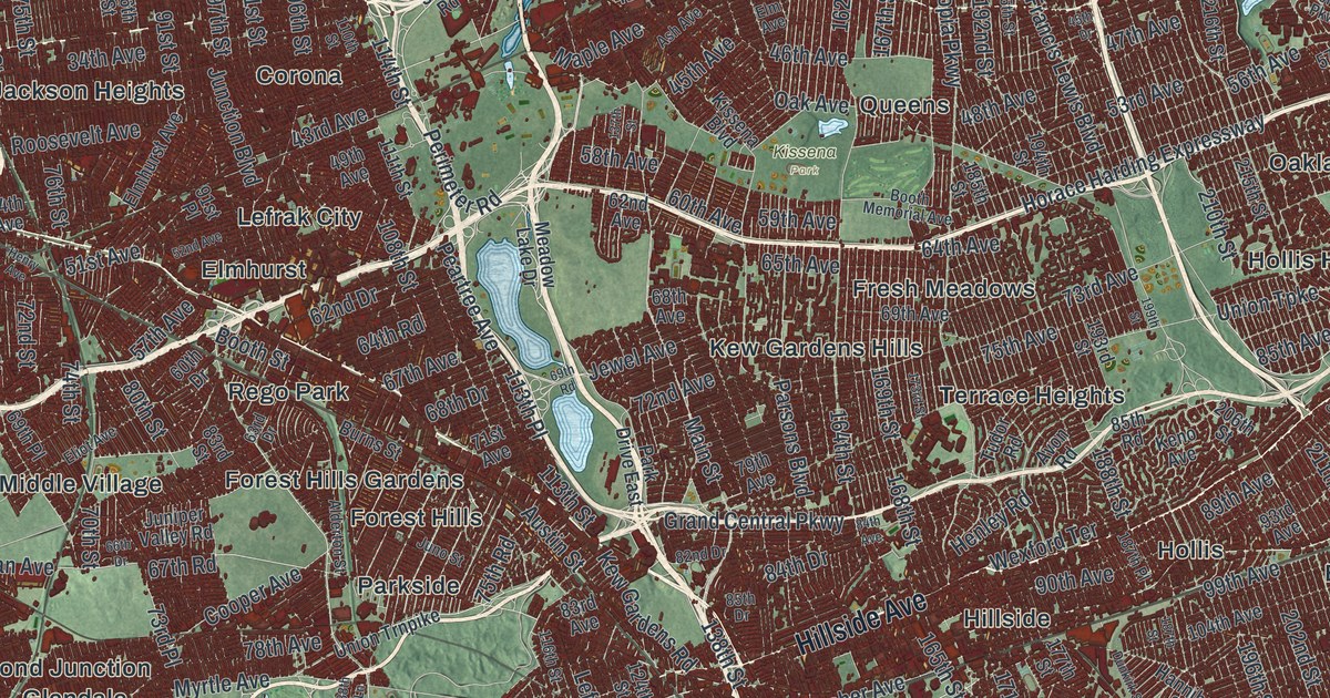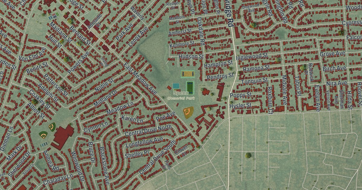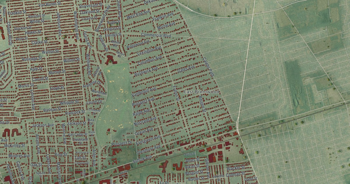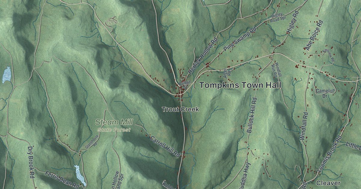
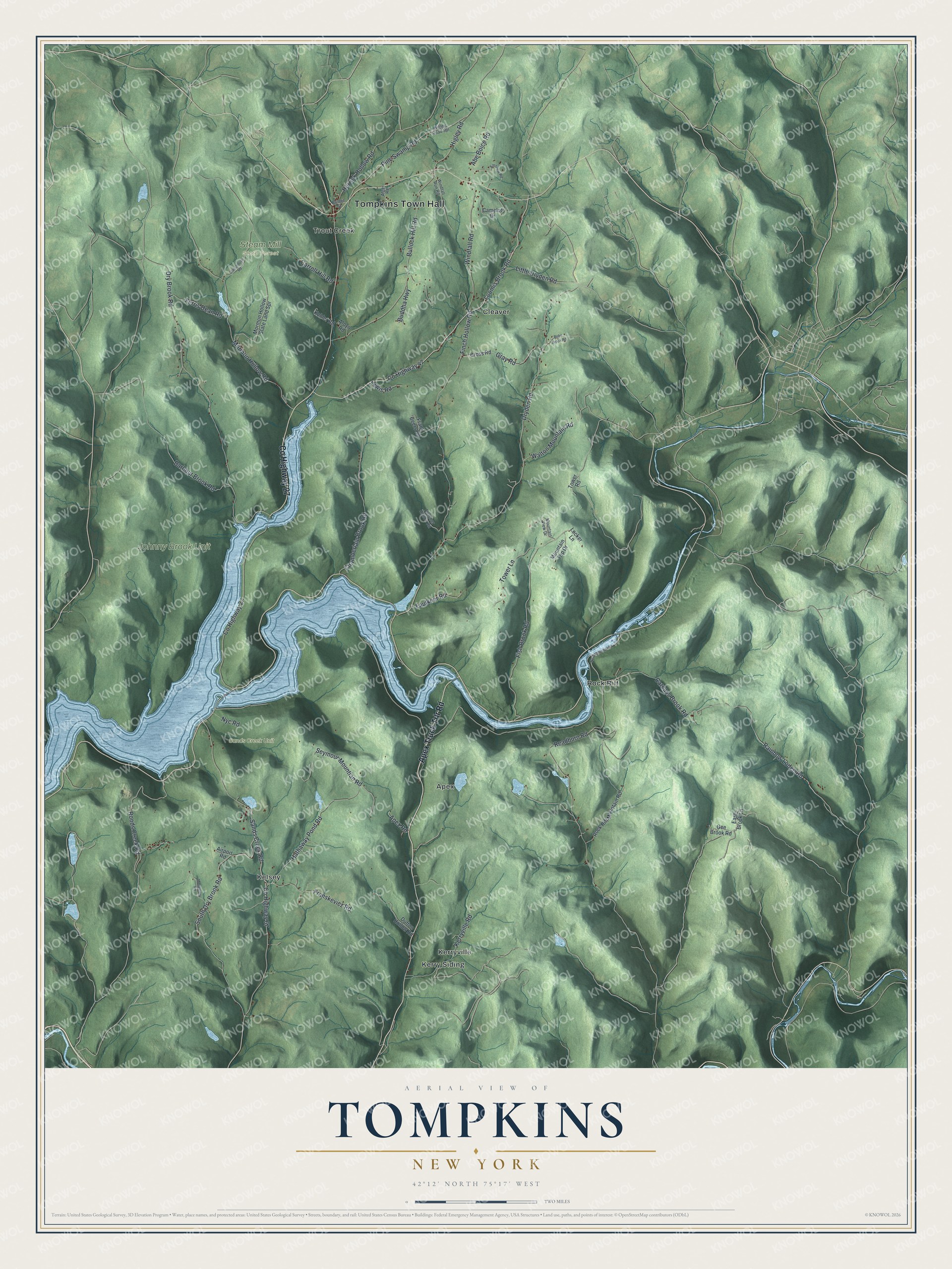
This beautifully detailed map of Tompkins, New York was created in 2026 using aerial imagery combined with modern topographical, census, street and landmark data. It’s a one-of-a-kind view of Tompkins that combines accurate data with a vintage aesthetic. The map shows every building in its true location, many of the roads carry their names, and the shaded topographic relief shows the shape of the land.
Explore an aerial view of Tompkins, New York
On the map you’ll find Tompkins Town Hall, Apex, Cleaver, Kelsey, Kerry Siding, Kerryville, and Steam Mill State Forest, along with Apex Truck Trlr Road, Loomis Brook Road, Dryden Road, Sands Creek Road, and more. If you look closely you can even find your house accurately drawn in its correct location. Zoom in on the preview to look for yours.
Did You Know?
This town carries the name of Daniel D. Tompkins. He was New York’s fourth governor and later became the nation’s sixth vice president. Tompkins split off from Franklin in 1806. In 1880 its western section broke away and became Deposit.
Take a closer look at the Tompkins map
Names on this map
These names are printed on this map.
Places: Tompkins Town Hall, Johnny Brook Unit, Sands Creek Unit, Steam Mill State Forest, Apex, Cleaver, Kelsey, Kerry Siding, Kerryville, Rock Rift and Trout Creek.
Streets and roads: County Highway 27, Apex Truck Trlr Road, County Highway 47, Loomis Brook Road, Dryden Road, Sands Creek Road, Franskevicz Road, Abe Boice Road, Dry Brook Road, County Highway 67, Readburn Road, Finch Hollow Road.
More street names, A to Z
Airport Road, Alger Road, Aloyo Road, Apex Road, Barbour Brook Road, Bobs Brook Road, Bridge Street, Buddha Highway, Bullock Hill Road, Camelot Drive, Carcass Brook Road, Carroll Hill Road, Chamberlain Brook Road, Cross Road, Dufton Hollow Road, East Brook Lane, Eastview Road, Faulkner Road, Ferris Dean Road, Fish Brook Road, Fletcher Hollow Road, Frank Beers Road, Gee Brook Road, Glasshouse Road, Gray Road, Hathaway Pond Road, Herrick Hollow Road, Higley Road, Higley Road Spr, Kerryville Road, Kohler Road, Lewis Road, Little Dryden Road, Locker Lane, Monestary Road, Mormon Hollow Road, Mormon Hollow State Land Spr, Mountain Top Drive, Mountain View Drive, Nyc Road, Pine Swamp Road, Rainbow Lodge Road, Rock Rift Mountain Road, Roods Creek Road, Seymour Mountian Road, South Dry Brook Road, Tower Lane, Tower Road, Walton Mountain Road, Windfall Road, Windfall Run Road.
See it on a wall
The Tompkins map as a framed print. Swipe for more.


This beautifully detailed map of Tompkins makes an attractive addition to your office, library, or den, and it can even be used to teach children the geography and history of the area. It also makes a great gift for anyone with Tompkins roots. When you’re done exploring, click here to get your copy of the Tompkins map.