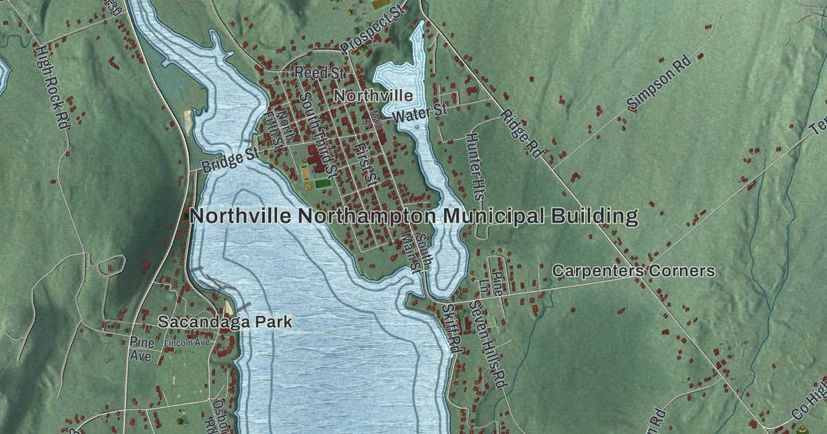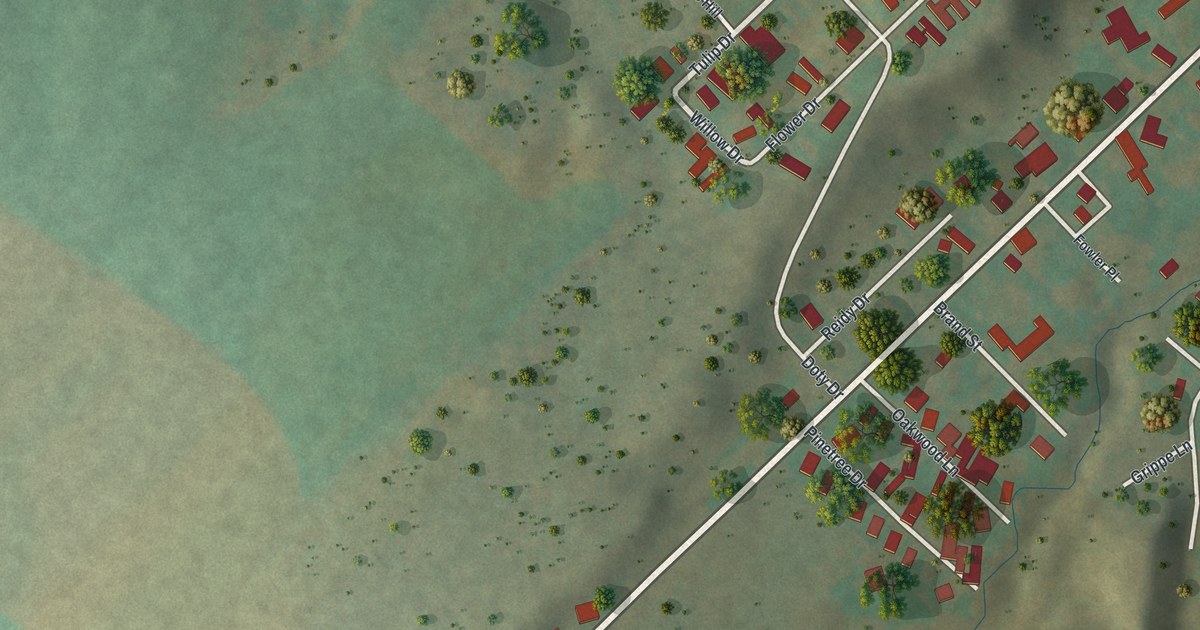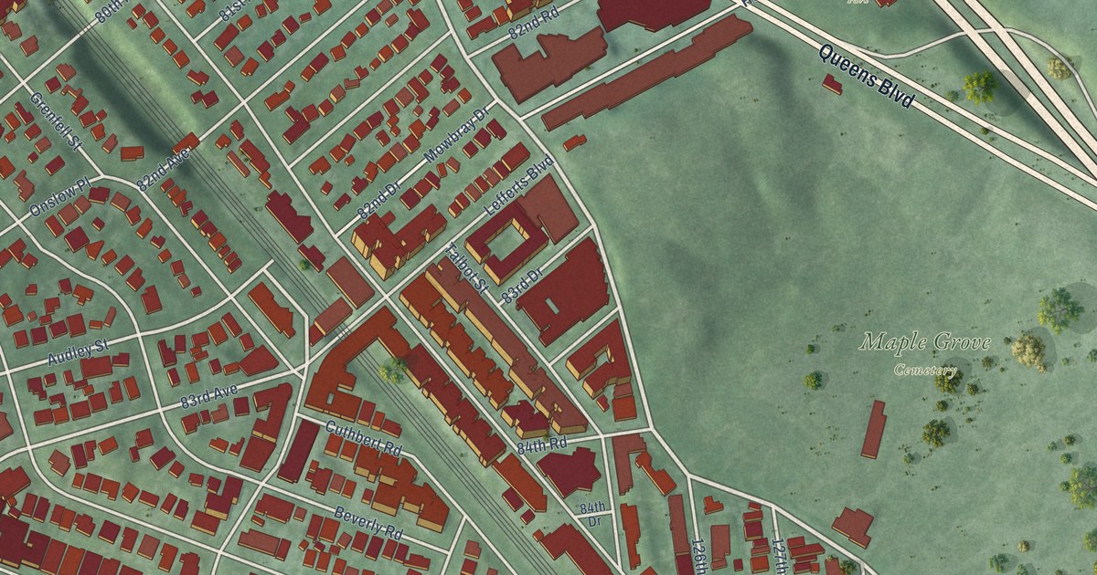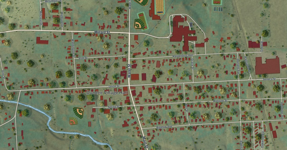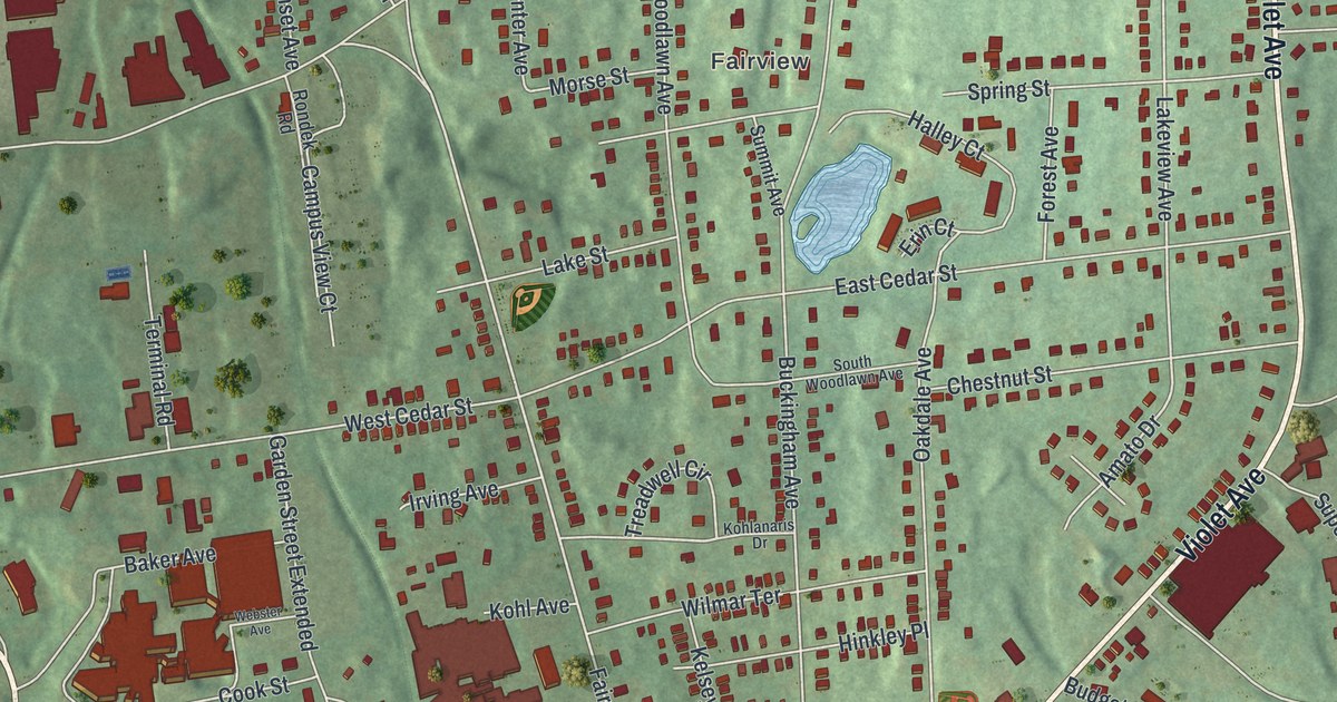
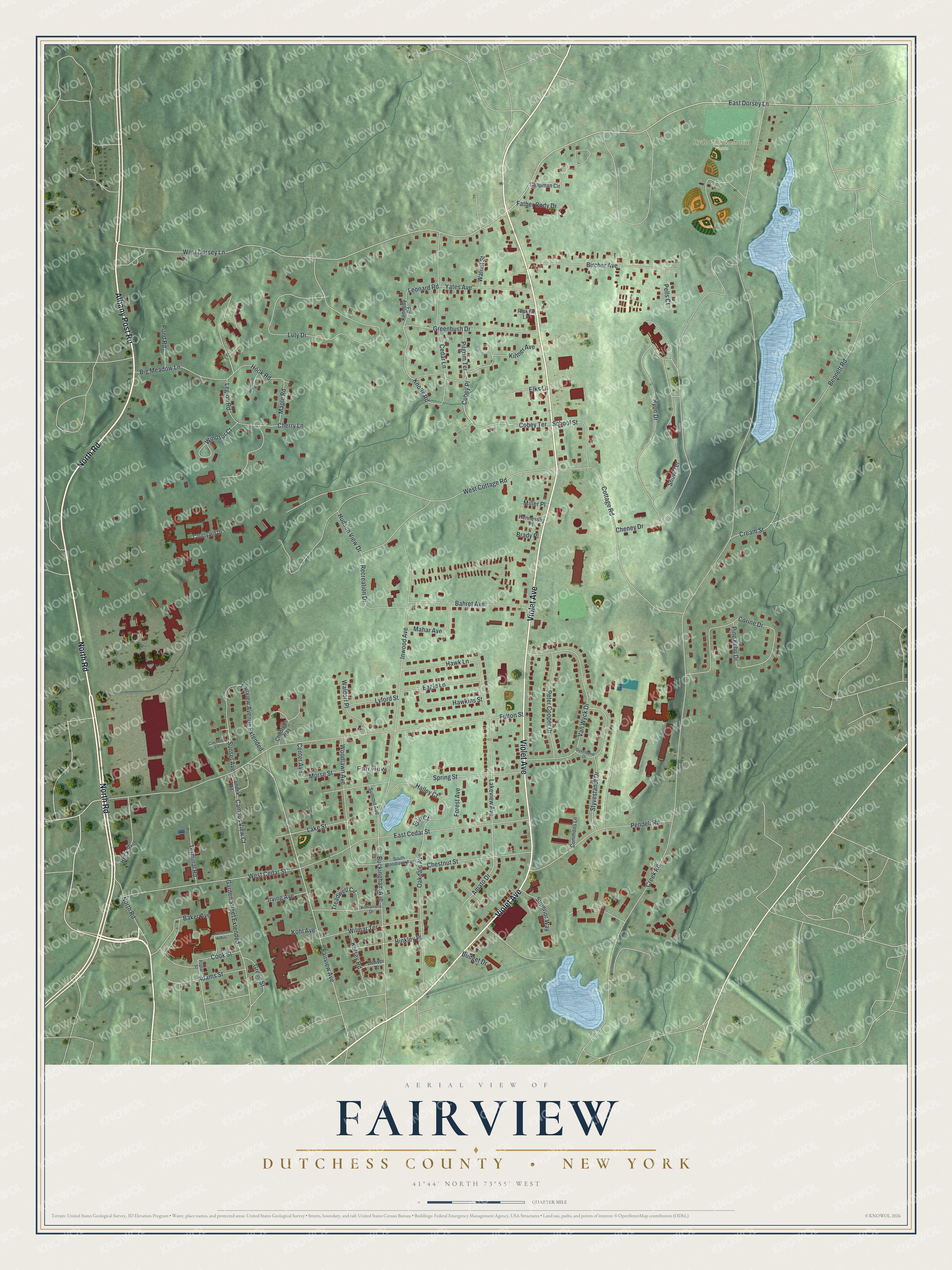
This aerial map of Fairview, New York was created in 2026 using real geographic data to bring the community’s streets, buildings, waterways, parks, and terrain together in one highly detailed view. Look closer and you can pick out the familiar places that make Fairview feel like home. Start with the street you know, then see how it connects to the rest of the community. Click here to purchase a print of this map for your wall.
Explore an aerial view of Fairview, New York
Start on North Road, then follow Albany Post Road, Violet Avenue, Cobey Place, and Cobey Terrace across the community.
Hyde Park Memorial Fields is labeled on the map. Names are set along the main roads, which makes the routes people use every day easy to follow.
Take a closer look at the Fairview map
Names on this map
These names are printed on this map.
Places: Fairview and Hyde Park Memorial Fields.
Streets and roads: North Road, Albany Post Road, Violet Avenue, Cobey Place, Cobey Terrace, Kilmer Avenue, Big Meadow Lane, East Dorsey Lane, West Dorsey Lane, Knolls Road, Fairview Avenue, Lakeview Avenue.
More street names, A to Z
Adams Street, Amato Drive, Bahret Avenue, Baker Avenue, Beck Place, Bennett Road, Bircher Avenue, Brady Place, Buckingham Avenue, Budget Drive, Campus View Court, Castillo Lane, Cedar Lane, Center Avenue, Chapman Circle, Cheney Drive, Cherry Lane, Chestnut Street, Childrens Way, Commons Lane, Cook Street, Corine Drive, Cottage Road, Courtyard Drive, Cream Street, Creek Road, Denver Place, Eagle Lane, East Cedar Street, Elks Lane, Erin Court, Fairview Avenue Extended, Father Cody Drive, Forest Avenue, Fulton Street, Garden Street Extended, Greenbush Drive, Green Street, Halley Court, Hawkins Street, Hawk Lane, Hennessey Place, Highland Road, Hinkley Place, Hook Road, Hudson View Drive, Inwood Avenue, Irving Avenue, Kelsey Road, Kennedy Road, Kohlanaris Drive, Kohl Avenue, Lake Street, Legion Road, Leonard Road, Luty Drive, Lyford Street, Mahar Avenue, Maple Road, Miller Place, Morse Street, Oakdale Avenue, Pells Court, Pendell Road, Peter Cooper Drive, Pilgrim Terrace, Pine Echo Drive, Pond Road, Poplar Street, Recreation Drive, Ripken Lane, Rondek Road, Ryon Drive, School Street, Snow Terrace, South Woodlawn Avenue, Spring Street, Styvestandt Court, Styvestandt Drive, Summit Avenue, Sunset Avenue, Superior Way, Terminal Road, Treadwell Circle, Van Wyck Drive, Waldorf Place, Walnut Street, Webster Avenue, West Cedar Street, West Cottage Road, Wilmar Terrace, Windsor Court, Woodlawn Avenue, Yates Avenue.
See it on a wall
The Fairview, Dutchess County map as a framed print. Swipe for more.


We designed the artwork at KNOWOL to read like a page from an old atlas. Buildings are drawn as small raised blocks with soft shadows, shaded relief shows the rise and fall of the land, and street names are set in clean, condensed lettering. A ruled border, a scale bar, and a title panel with the community’s coordinates finish the sheet.
This beautifully detailed map of Fairview makes an attractive addition to your office, library, or den, and it’s a thoughtful gift for anyone who calls Fairview home. When you’re done exploring, click here to get your copy of the Fairview, New York map.