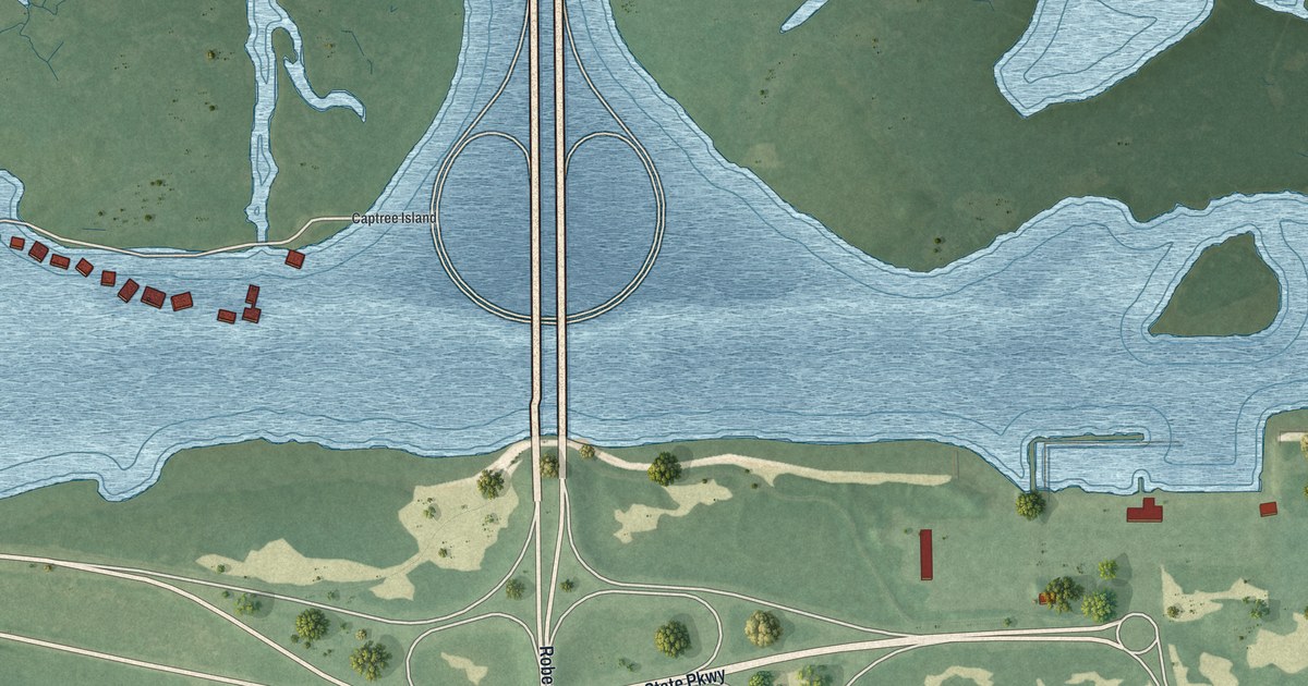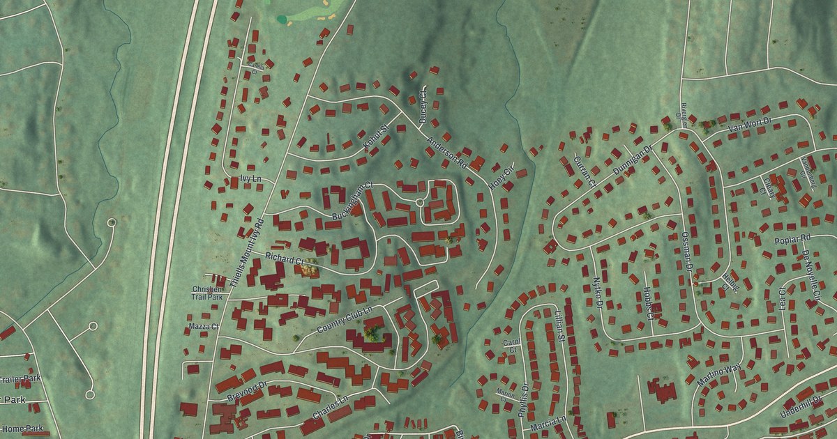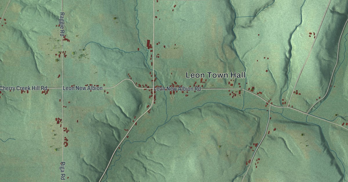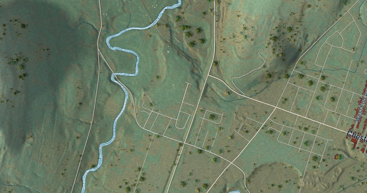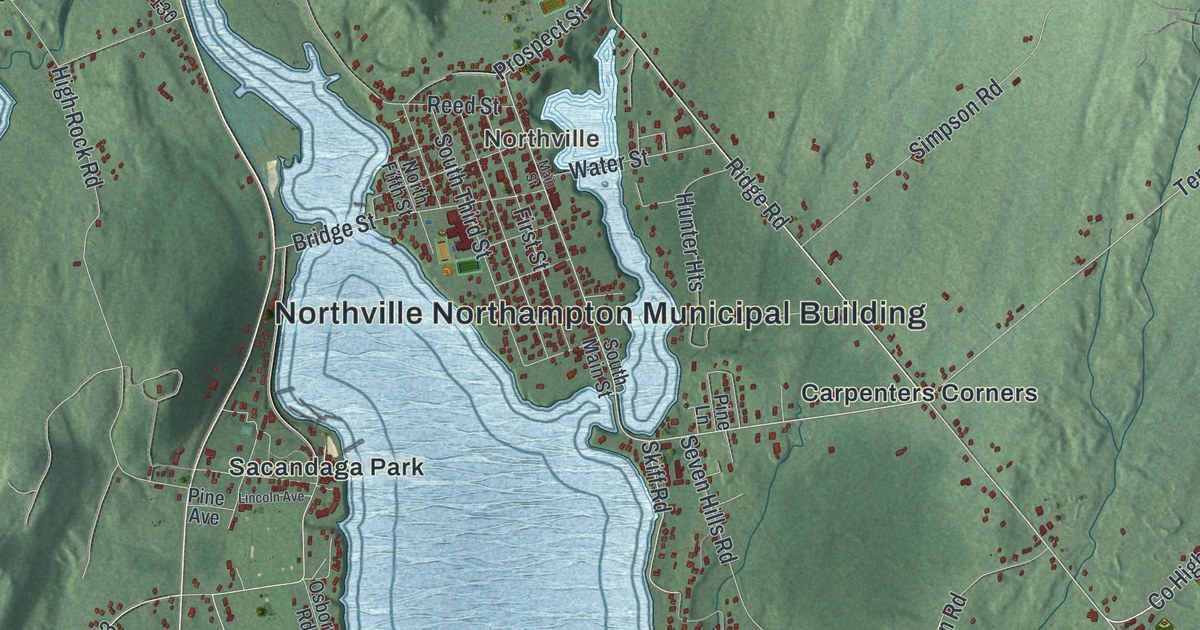
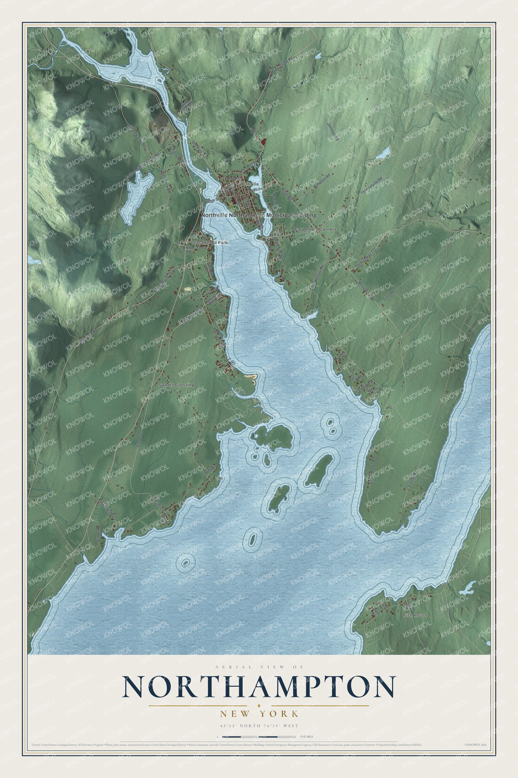
This beautifully detailed map of Northampton, New York was created in 2026 using aerial imagery combined with modern topographical, census, street and landmark data. It’s a one-of-a-kind view of Northampton that combines accurate data with a vintage aesthetic. The map shows every building in its true location, many of the roads carry their names, and the shaded topographic relief shows the shape of the land.
Explore an aerial view of Northampton, New York
On the map you’ll find Northville Northampton Municipal Building, Fish House, Northville, Carpenters Corners, Sacandaga Park, and Sweets Crossing, along with Maple Grove Road, Ridge Road, White Birch Road, Skiff Road, and more. If you look closely you can even find your house accurately drawn in its correct location. Zoom in on the preview to look for yours.
Did You Know?
The town took its name from the Northampton Patent, an original land grant dated 1741. It split from northern Broadalbin in 1799. In 1930, the new Sacandaga Reservoir flooded dry land and swamp here. Today the Great Sacandaga Lake covers about 40 percent of the town.
Take a closer look at the Northampton map
Names on this map
These names are printed on this map.
Places: Northville Northampton Municipal Building, Fish House, Northville, Carpenters Corners, Sacandaga Park and Sweets Crossing.
Streets and roads: Maple Grove Road, Ridge Road, County Highway 113, White Birch Road, Skiff Road, Tennantville Road, Mountain Road, County Highway 152, Sinclair Road, South Third Street, County Highway 123, Old State Road.
More street names, A to Z
Birchwood Place, Bridge Street, Buda Drive, Bunker Hill Road, Chelby Lane, Circle Drive, Collins-Gifford Valley Road, County Highway 109, County Highway 130, Elmer Brown Road, First Street, Frost Road, Gander Lane, Gifford Valley Road, Gilbert Road, Hampton Point Road, High Rock Road, Horton Road, Houseman Street, Hunter Heights, Johnson Road, Juergen Point, Lakeview Drive, Langr Lane, Lincoln Avenue, Logan Road, Longvue Lane, Main Street, North Fifth Street, Olaf Johnson Road, Osborne Road, Pine Avenue, Pine Lane, Prospect Street, Reed Street, Russell Lane, Seven Hills Road, Simpson Road, Smith Beach Road, South Main Street, Sunset Lane, Water Street.
See it on a wall
The Northampton map as a framed print. Swipe for more.


This beautifully detailed map of Northampton makes an attractive addition to your office, library, or den, and it can even be used to teach children the geography and history of the area. It also makes a great gift for someone who left Northampton and still calls it home. When you’re done exploring, click here to get your copy of the Northampton map.