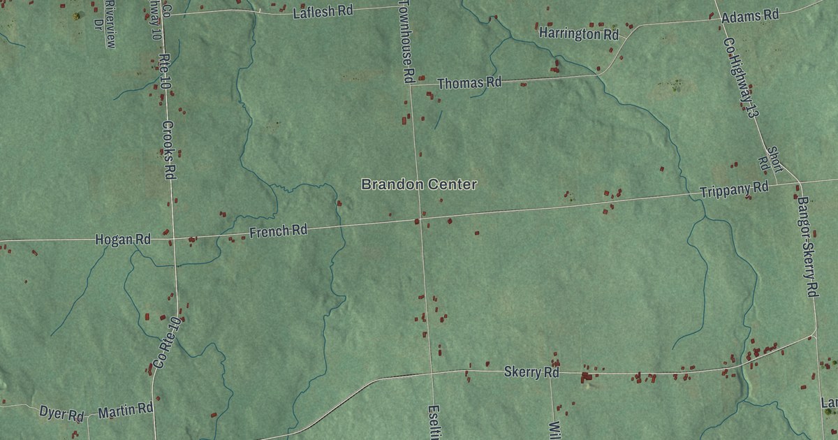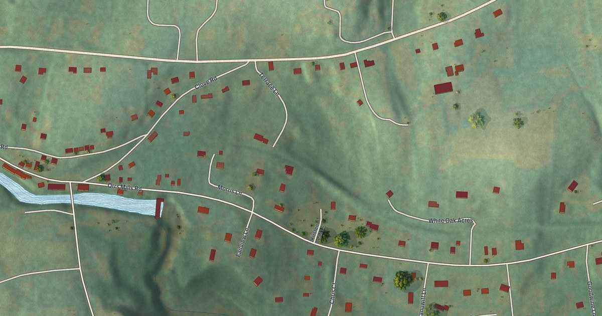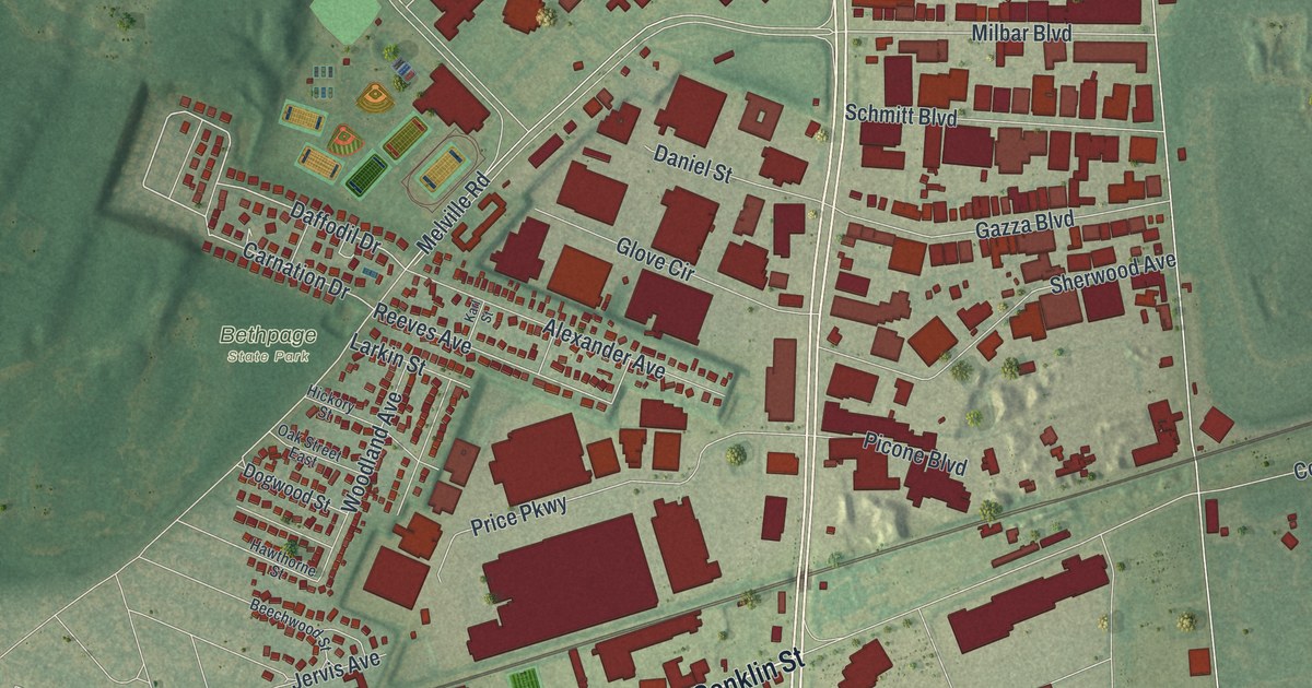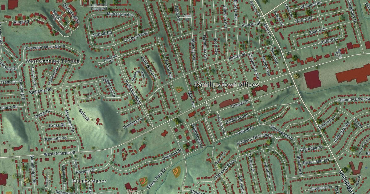
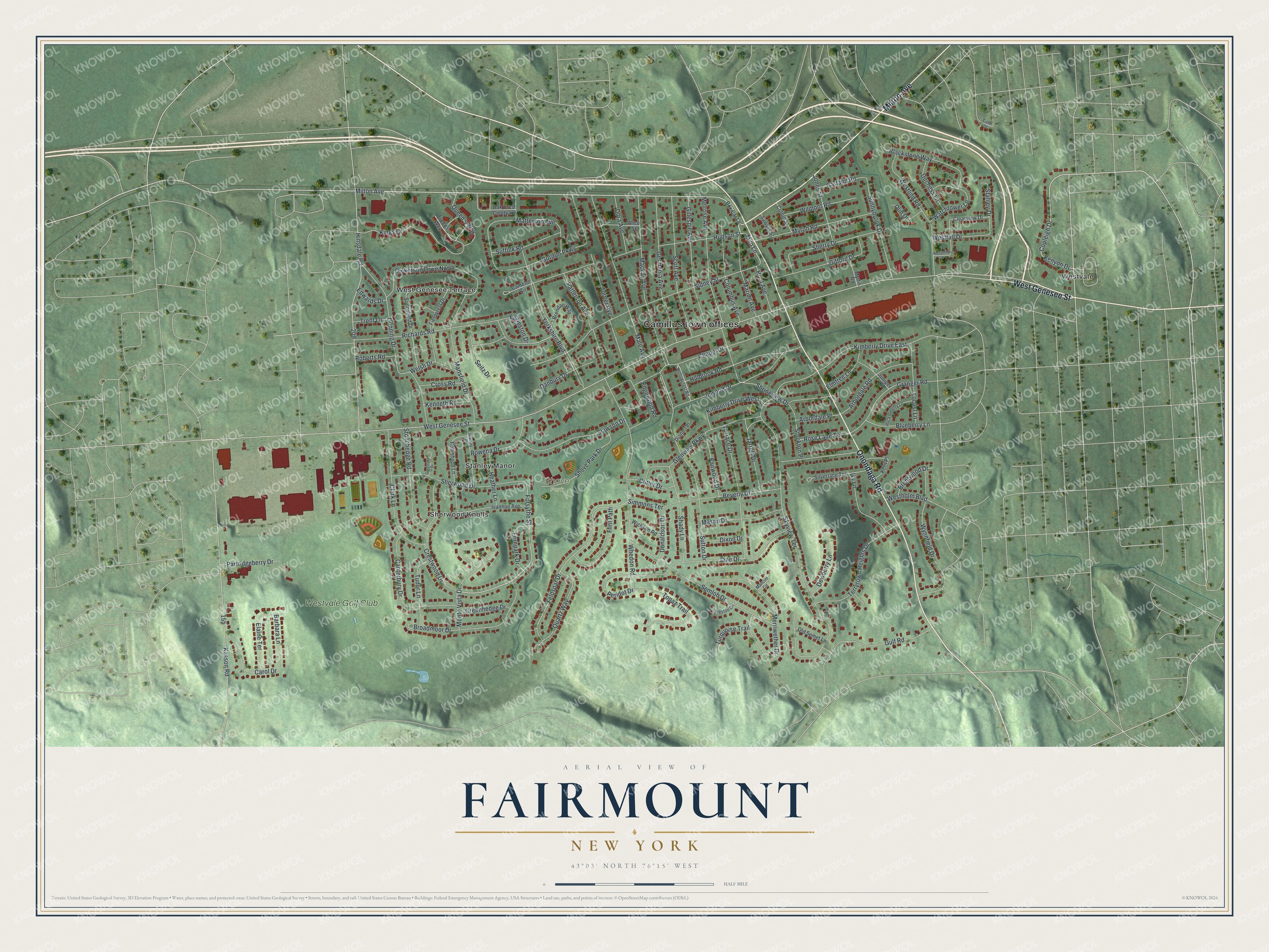
This beautifully detailed map of Fairmount, New York was created in 2026 using aerial imagery combined with modern topographical, census, street and landmark data. It’s a one-of-a-kind view of Fairmount that combines accurate data with a vintage aesthetic. The map shows every building in its true location, many of the roads carry their names, and the shaded topographic relief shows the shape of the land.
Explore an aerial view of Fairmount, New York
On the map you’ll find Camillus town offices, Sherwood Knolls, Westvale, and Shove Park, along with Onondaga Road, Milton Avenue, Genesee Street, Forsythe Street, West Genesee Terrace, and more. If you look closely you can even find your house accurately drawn in its correct location. Zoom in on the preview to look for yours.
Did You Know?
Fairmount takes its name from Fair Mount, the estate that engineer and politician James Geddes built here in 1798. The area was earlier called Tyler or Jeromeville. Its post office took the Fairmount name on January 1, 1846. The Geddes mansion was torn down in 1929, but bits of its stone fences still stand.
Take a closer look at the Fairmount map
Names on this map
These names are printed on this map.
Places: Camillus town offices, Shove Park, Sherwood Knolls, Stanley Manor, West Genesee Terrace, Westvale and Westvale Golf Club.
Streets and roads: Onondaga Road, Milton Avenue, West Genesee Street, Forsythe Street, Copleigh Drive, Kenyon Drive, Feldspar Drive, Milo Lane, Beverly Drive, Chapel Drive, Kings Court, Mansfield Drive.
More street names, A to Z
Alice Street, Arbordale Place, Arbordale Road, Barbara Lane, Blackstone Way, Blueberry Lane, Box Car Lane, Bramley Drive, Brendan Way, Brentwood Drive, Broadmoor Drive, Camelot Circle, Canterbury Drive, Carol Drive, Case Street, Clark Lane, Clearview Drive, Columbus Avenue, Cotton Street, Crestwood Drive, Cross Road, Cutler Drive, Danbury Drive, Dewberry Lane, Diane Terrace, Dickerson Drive North, Dixon Drive, Donaldson Drive, Dora Avenue, Duchess Lane, Dunning Drive, Edgewood Road, Edwards Drive, Eggleston Drive, Elaine Terrace, Elmtree Lane, Fairwood Drive, Fernpark Drive, Fieldcrest Drive, Flint Path, Garland Road, Germania Avenue, Gifford Drive, Gillespie Avenue, Glenview Parkway, Gordon Parkway, Granger Road, Greenhedge Drive, Greystone Drive, Gulf Road, Heather Lane, Hillbrook Road, Hinsdale Road, Hollowcrest Road, Horseshoe Drive, Huckleberry Lane, Hudson Street, Hunt Avenue, Inwood Drive, Ivanhoe Avenue, Ivy Lane, Jane Drive, Jarrett Drive, Jones Street, Juniper Lane, Kasson Road, Kenneth Road, Kent Place, Kimberly Drive East, Kimberly Drive West, Locust Lane, Mackay Avenue, Male Avenue, Mancini Circle, Marion Avenue, Mason Drive, Matterson Avenue, Melrose Avenue, Merriwether Drive, Monte Vista Drive, Myron Road, Myrtis Road, Oak Crest Courtyard, Old Semet Lane, Olin Drive, Partridgeberry Drive, Patterson Avenue, Peridot Drive, Preston Circle, Quartz Way, Queen's Way, Queens Way, Richards Road, Roberts Road, Robinhood Lane, Rose Lane Terrace, Rowena Drive, Sawyer Street, Scott Avenue, Seitz Drive, Semloh Drive, Shady Lane, Sherry Drive, Sherwood Drive, Shove Park Drive, Shrineview Drive, Sidney Street, Silverlace Terrace, Simmons Terrace, Skyview Terrace, Slawson Drive, Stanley Drive, Stockton Place, Stonehedge Road, Suffolk Road, Sunnybrook Drive, Sunnyfield Drive, Sutton Drive, Terrace Drive, Terrytown Heights Drive, Topaz Trail, Trent Lane, Tudor Lane, Turner Avenue, Turquoise Trail, Watchtower Lane, Welsh Drive, Westfall Drive, Westholm Boulevard, Westlind Road, Whedon Road, Wickson Road, Wilmont Road, Wynnfield Drive, Yorkshire Boulevard.
See it on a wall
The Fairmount map as a framed print. Swipe for more.


This beautifully detailed map of Fairmount makes an attractive addition to your office, library, or den, and it can even be used to teach children the geography and history of the area. It also makes a great gift for anyone with Fairmount roots. When you’re done exploring, click here to get your copy of the Fairmount map.