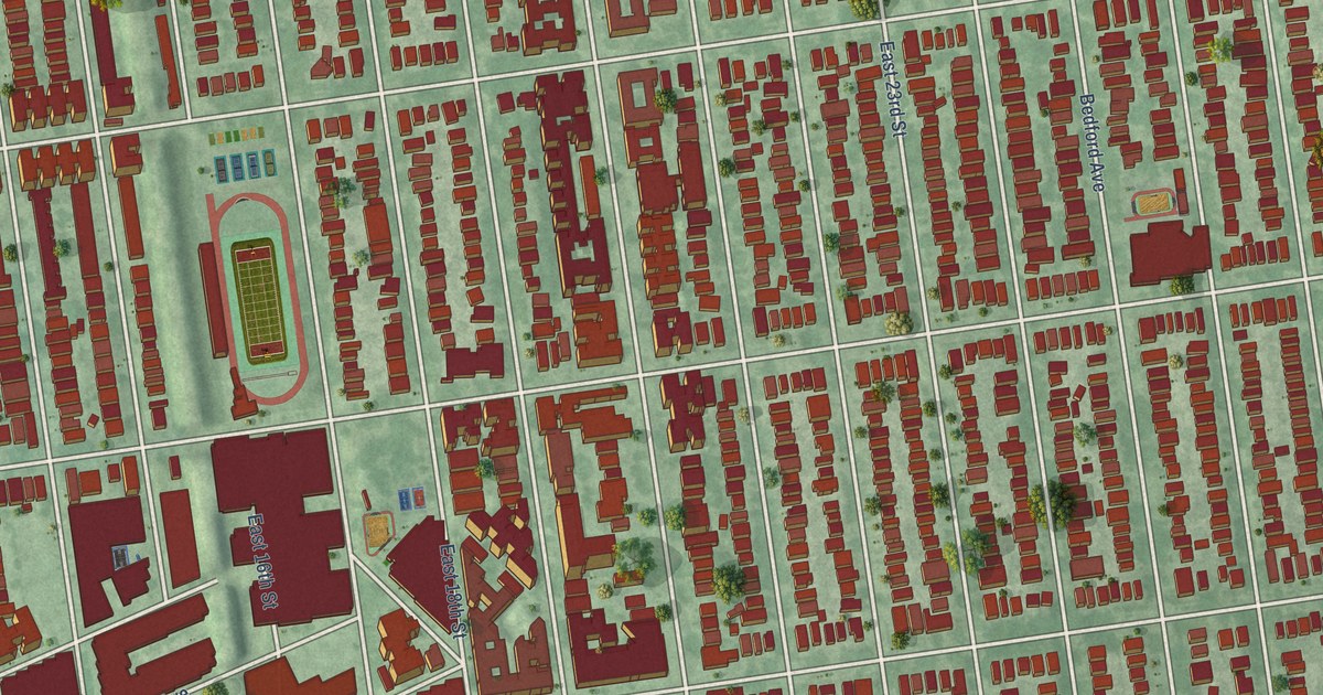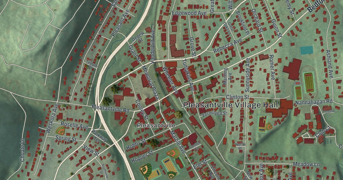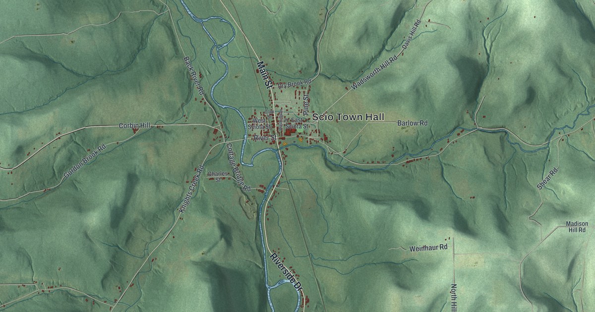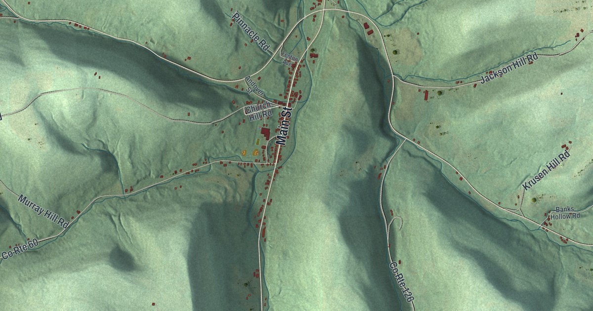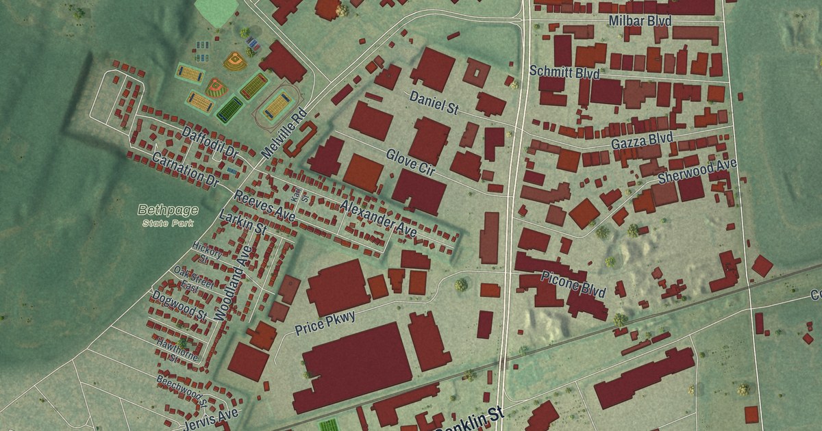
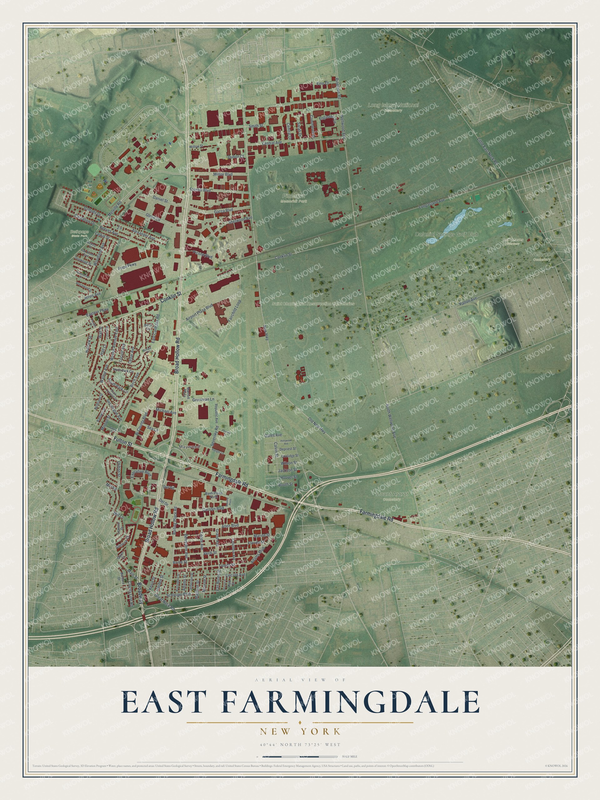
This beautifully detailed map of East Farmingdale, New York was created in 2026 using aerial imagery combined with modern topographical, census, street and landmark data. It’s a one-of-a-kind view of East Farmingdale that combines accurate data with a vintage aesthetic. The map shows every building in its true location, many of the roads carry their names, and the shaded topographic relief shows the shape of the land.
Explore an aerial view of East Farmingdale, New York
On the map you’ll find Maywood, Beth Moses Cemetery, Bethpage State Park, Long Island National Cemetery, and Mount Ararat Cemetery, along with Broad Hollow Road, Farmingdale Road, Fulton Street, Conklin Street, Old New Highway, and more. If you look closely you can even find your house accurately drawn in its correct location. Zoom in on the preview to look for yours.
Take a closer look at the East Farmingdale map
Names on this map
These names are printed on this map.
Places: Maywood, Beth Moses Cemetery, Bethpage State Park, Long Island National Cemetery, Mount Ararat Cemetery, Pinelawn Memorial Park, Saint Charles and Resurrection Cemeteries, Wellwood Cemetery and Colonial Springs Golf Club.
Streets and roads: Broad Hollow Road, Farmingdale Road, Fulton Street, Conklin Street, Broadway, Old New Highway, Smith Street, Daffodil Drive, Wellwood Avenue, Carolyn Boulevard, New Highway, Reeves Avenue.
More street names, A to Z
Adams Boulevard, Adams Street, Airport Plaza Boulevard, Alexander Avenue, Allen Boulevard, Baiting Place Road, Baldwin Street, Banfi Plaza North, Barbara Drive, Barbara Lane, Beechwood Street, Belvedere Avenue, Bi County Boulevard, Birch Avenue, Birch Circle, Boening Plaza, Bonwit Place, Booth Street, Calvin Street, Carnation Drive, Cedar Avenue, Central Avenue, Central Drive, Clifton Street, Columbus Avenue, Commerce Drive, Coolidge Street, County Line Road, Daniel Street, Del Drive, Del Road, Denton Place, Depriest Street, Dogwood Street, Dubon Court, East Carmans Road, Eastern Parkway, Engineers Lane, Executive Boulevard, Fairchild Lane, Fairchild Loop, Finn Court, Florida Street, Garden Street, Garity Place, Gates Avenue, Gazza Boulevard, Genova Court, Glenn Court, Glove Circle, Grand Avenue, Great Neck Road, Grumman Lane, Hall Court, Hallock Street, Harrison Street, Hawthorne Street, Hickory Street, Hollywood Avenue, Hoover Street, Jackson Street, Jefferson Street, Jervis Avenue, Karl Street, Kevin Street, Larkin Street, Leanore Drive, Lenox Avenue, Lincoln Avenue, Little East Neck Road, Locust Avenue, Long Island Avenue, Madison Street, Main Street, Marine Street, Marriott Plaza, Melville Road, Michael Avenue, Milbar Boulevard, Mill Lane, Mill Road, Monroe Street, Morton Street, North Park Circle, North Wellwood Avenue, Nostrand Street, Oak Street East, Patton Avenue, Picone Boulevard, Pinelawn Road, Polk Street, Price Parkway, Ranger Lane, Republic Avenue, Rome Street, Sarah Drive, Schleigel Boulevard, Schmitt Boulevard, Sea Lane, Secatogue Avenue, Seversky Road, Sherwood Avenue, South Crescent Drive, South Park Circle, Toledo Street, Van Buren Street, Verdi Street, Wall Street, Walnut Avenue, Walnut Avenue East, Washington Street, Willow Street, Wilson Street, Woodland Avenue.
See it on a wall
The East Farmingdale map as a framed print. Swipe for more.


This beautifully detailed map of East Farmingdale makes an attractive addition to your office, library, or den, and it can even be used to teach children the geography and history of the area. It also makes a great gift for anyone with East Farmingdale roots. When you’re done exploring, click here to get your copy of the East Farmingdale map.