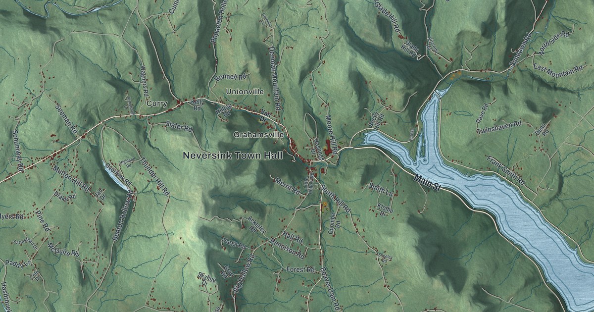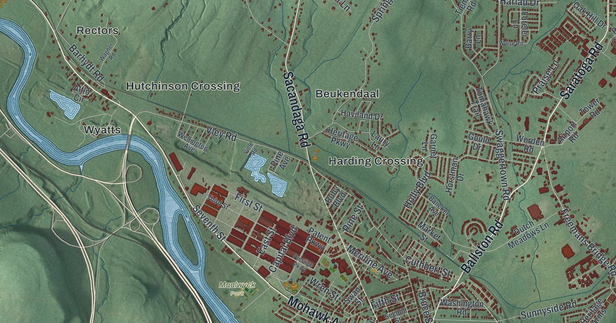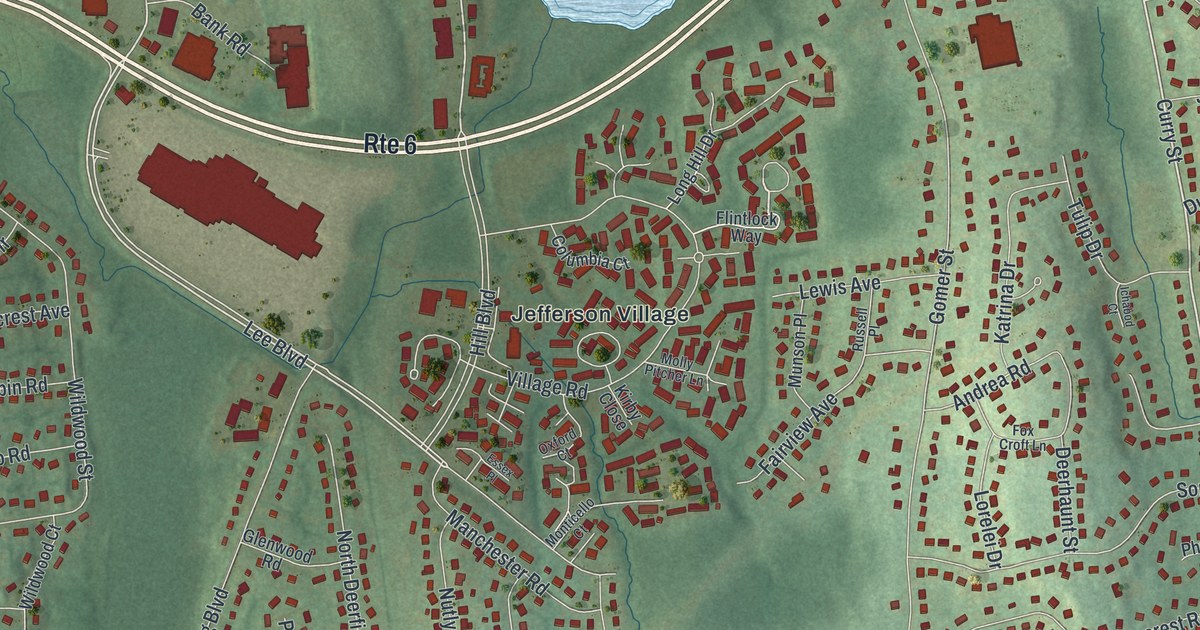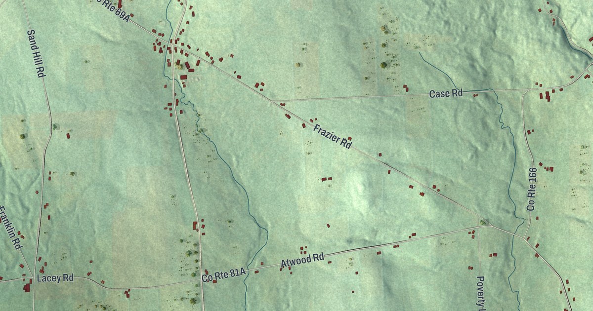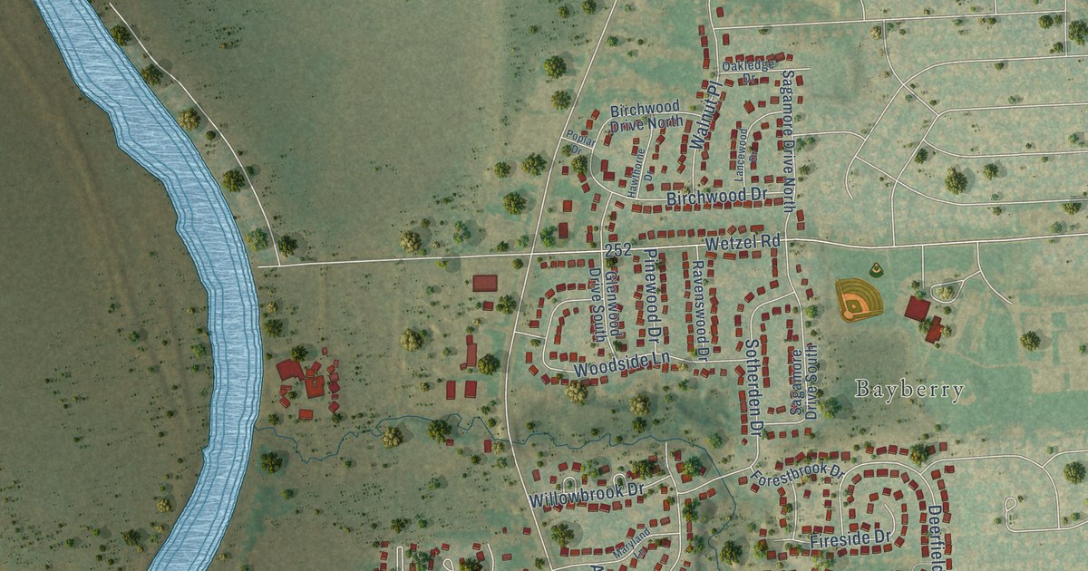
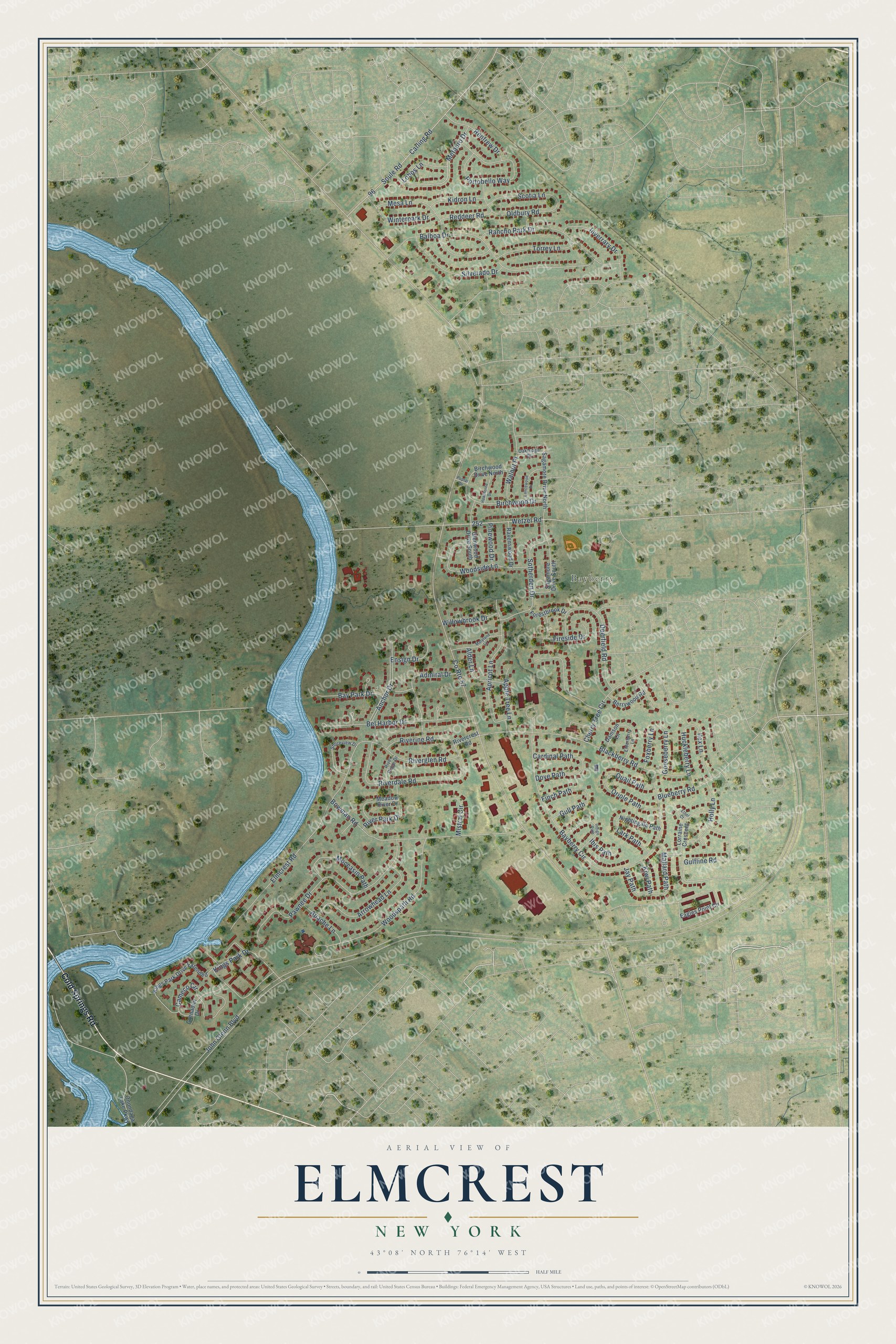
This beautifully detailed map of Elmcrest, New York was created in 2026 using aerial imagery combined with modern topographical, census, street and landmark data. It’s a one-of-a-kind view of Elmcrest that combines accurate data with a vintage aesthetic. The map shows every building in its true location, many of the roads carry their names, and the shaded topographic relief shows the shape of the land.
Explore an aerial view of Elmcrest, New York
On the map you’ll find Bayberry, along with Cold Springs Road, Portobello Way, John Glenn Boulevard, Elmcrest Road, Bayberry Circle, Balboa Drive, Pawnee Drive, Blackberry Road, Wetzel Road, Anchor Drive, Riverglen Road, and more. If you look closely you can even find your house accurately drawn in its correct location. Zoom in on the preview to look for yours.
Take a closer look at the Elmcrest map
Names on this map
These names are printed on this map.
Places: Bayberry.
Streets and roads: Cold Springs Road, Portobello Way, John Glenn Boulevard, County Route 57, Elmcrest Road, Bayberry Circle, Balboa Drive, Pawnee Drive, Blackberry Road, Wetzel Road, Anchor Drive, Riverglen Road.
More street names, A to Z
Admiral Drive, Alder Lane, Apache Lane, Apple Tree Lane, Apricot Lane, Arrowhead Lane, Bay Park Drive, Bel Harbor Drive, Berrywood Road, Birchwood Drive, Birchwood Drive North, Blueberry Road, Bowman Road, Cameco Circle, Cardinal Path, Carling Road, Cherry Tree Circle, Damson Lane, Deerfield Road, Dove Path, Eagles Point Circle, Elderberry Lane, Ensign Drive, Ethel Court, Finch Path, Fireside Drive, Forestbrook Drive, Foxberry Lane, Glenwood Drive South, Gooseberry Lane, Grenadier Drive, Gulfline Road, Gull Path, Hawthorne Drive, Holly Lane, Huckleberry Lane, Ibis Path, Ilex Lane, Indigo Path, Inverrary Drive, Jay Path, Kidron Lane, Kings Park Drive, Kings Park Drive Extended, Kiwi Path, Lancewood Drive, Lark Path, Lobos Lane, Lorraine Crescent, Mallard Path, Maryland Lane, Meadow River Drive, Mesa Lane, Metauro Drive, Mistral Circle, Moccasin Path, Nightingale Path, Oakledge Drive, Oldbury Road, Onondaga Lake Parkway, Oriole Path, Pinewood Drive, Poplar Drive, Quail Path, Rancho Park Drive, Ravenswood Drive, Reddeer Road, Renfrew Drive, Rivercrest Road, Riverdale Road, Riverine Road, River Park Drive, River Ridge Drive, Sagamore Drive North, Sagamore Drive South, Scotia Lane, Shoreview Drive, Silverado Drive, Sotherden Drive, Soule Road, Torrey Lane, Walnut Place, Willowbrook Drive, Winterpark Drive, Woodside Lane, Woodspath Road.
See it on a wall
The Elmcrest map as a framed print. Swipe for more.


This beautifully detailed map of Elmcrest makes an attractive addition to your office, library, or den, and it can even be used to teach children the geography and history of the area. It also makes a great gift for anyone with Elmcrest roots. When you’re done exploring, click here to get your copy of the Elmcrest map.