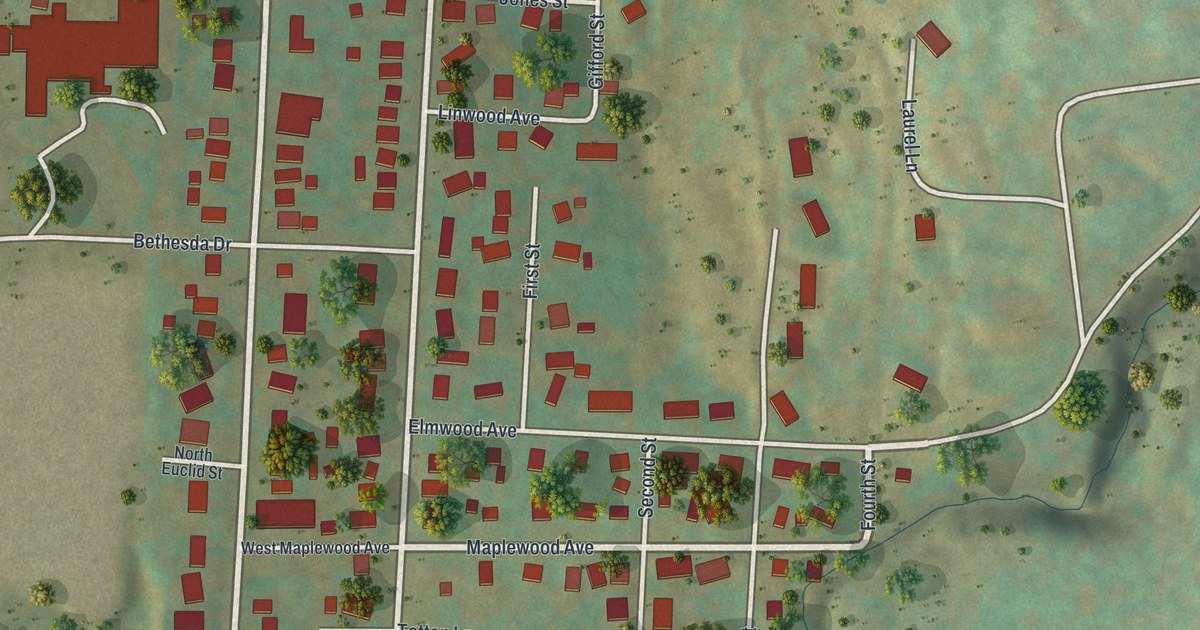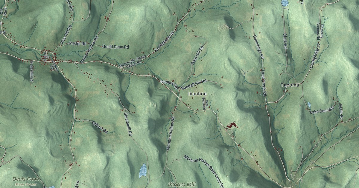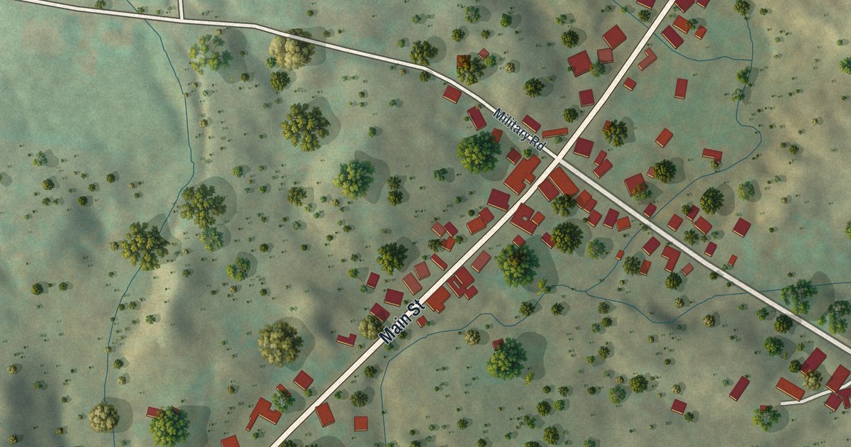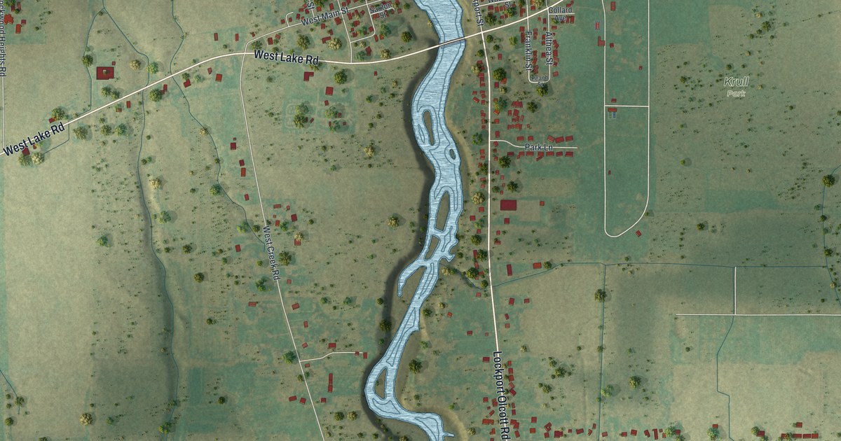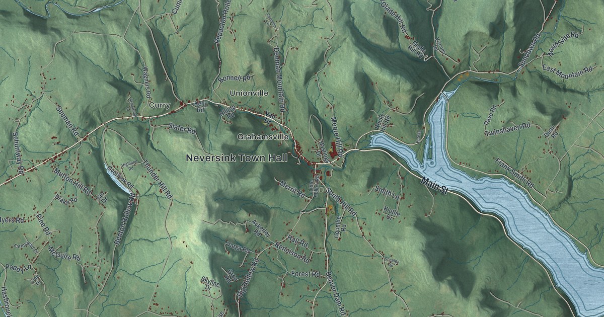
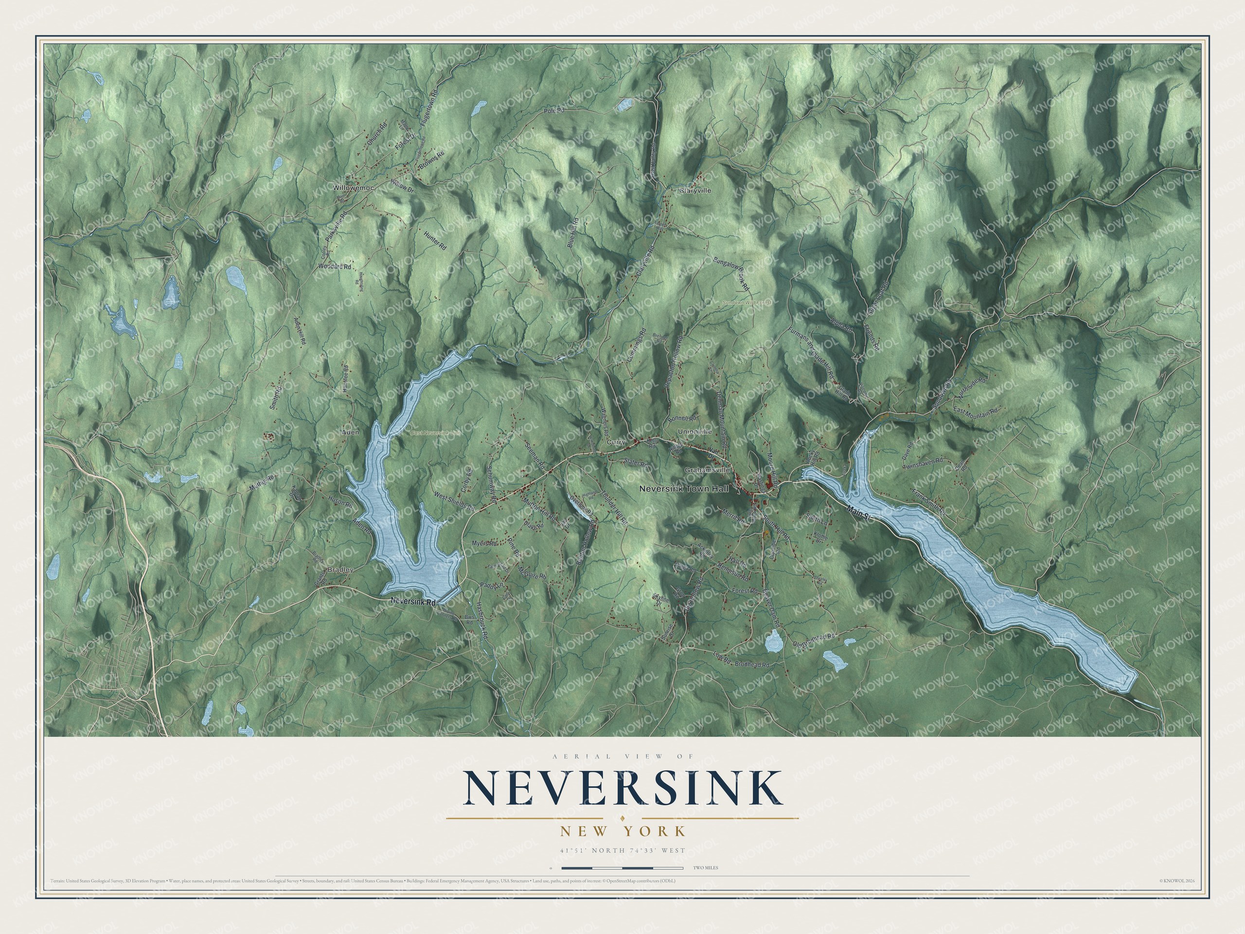
This beautifully detailed map of Neversink, New York was created in 2026 using aerial imagery combined with modern topographical, census, street and landmark data. It’s a one-of-a-kind view of Neversink that combines accurate data with a vintage aesthetic. The map shows every building in its true location, many of the roads carry their names, and the shaded topographic relief shows the shape of the land.
Explore an aerial view of Neversink, New York
On the map you’ll find Neversink Town Hall, Bradley, Aden, Claryville, Curry, Grahamsville, and Sundown Wild Forest, along with Main Street, Neversink Road, Van Drive, Sundown Road, and more. If you look closely you can even find your house accurately drawn in its correct location. Zoom in on the preview to look for yours.
Did You Know?
In 1941 New York City chose the old town site for a reservoir to supply drinking water. The town and nearby Bittersweet were condemned. About 2,000 people lived there, with a main street, church, post office, covered bridge and two-room school. The town moved a couple of miles, and the reservoir opened in 1953.
Take a closer look at the Neversink map
Names on this map
These names are printed on this map.
Places: Neversink Town Hall, Bradley, East Neversink Unit, Sundown Wild Forest, Aden, Claryville, Curry, Grahamsville, Unionville and Willowemoc.
Streets and roads: Main Street, Neversink Road, Sundown Road, Pole Road, Denman Mountain Road, Aden Road, Claryville Road, Moore Hill Road, Muthig Road, Big Hollow Road, Hunter Road, Thunder Hill Road.
More street names, A to Z
Ackerley Road, Aden Hill Road, Alpha Road, Armstrong Drive, Beaver Dam Road, Benton Hollow Road, Blue Hill Road, Bonnell Road, Bradley Road, Brenner Road, Brodhead Road, Browns Road, Bungalow Brook Road, Bws Road, Church Road, Cole Drive, Cooley Road, Coombe Road, Corby Road, Cornelia Lane, Cummings Road, Dave Road, Dean Road, Divine Corners Road, Drake Road, East Mountain Road, Eureka, Farmstead Drive, Flugertown Road, Fluggertown Road, Forest Drive, Forest Road, Frank Smith Road, Friends Road, Frost Valley Road, Furmans and Glade Hill Road, Glade Hill Road, Grants Road, Groo Road, Hall Road, Hanofee Road, Hasbrouck Road, Hastings Drive, Highland Road, Hilltop Road, Houghtaling Road, Huson Road, Jan Drive, Kaplan Drive, Kelly Road, Klothe Drive, Little Hollow Road, Low Road, Main Road, Maple Lane, McGuire Road, Merrit Road, Mutton Hill Road, Myers Road, North Side Road, Old Brodhead Road, Overlook Road, Paddy Lane, Parksville Road, Pepacton Hollow Road, Pine Road, Rennison Road, Rocky Hill Road, Schumway Road, Seeman Road, Sheeley Road, Skyline Drive, Slater Road, Smith Lane, Smith Road, South Hill Road, Sugar Loaf Road, Sunrise Drive, Tannery Way, Twinshaven Road, Van Drive, Varga Road, Viscomi Road, Wagners Road, West Shields Road, Willow Drive, Woodard Road.
See it on a wall
The Neversink map as a framed print. Swipe for more.


This beautifully detailed map of Neversink makes an attractive addition to your office, library, or den, and it can even be used to teach children the geography and history of the area. It also makes a great gift for someone who left Neversink and still calls it home. When you’re done exploring, click here to get your copy of the Neversink map.