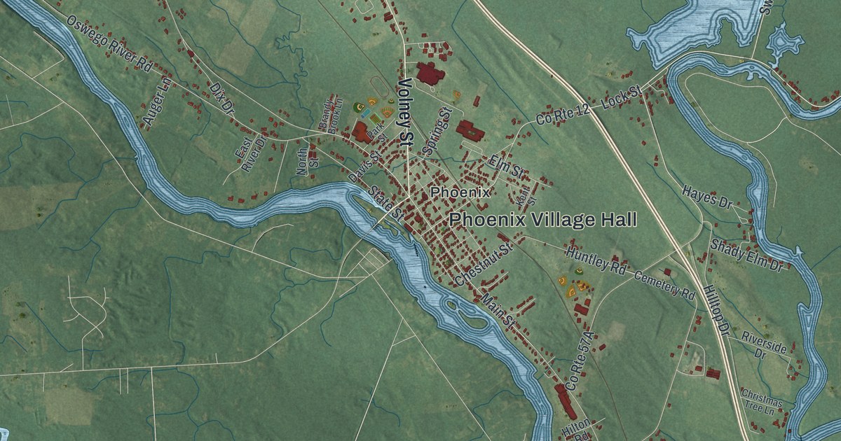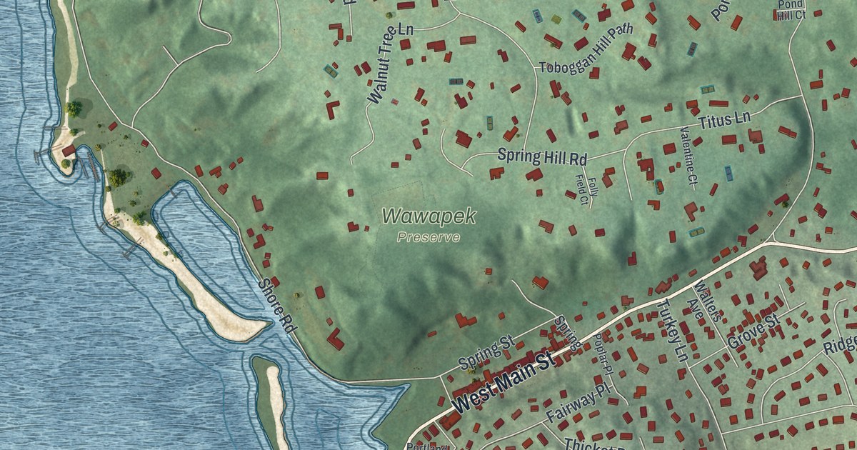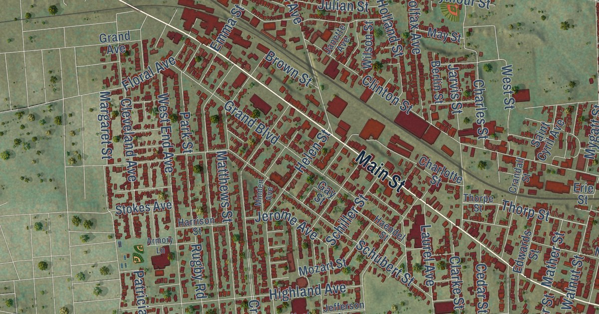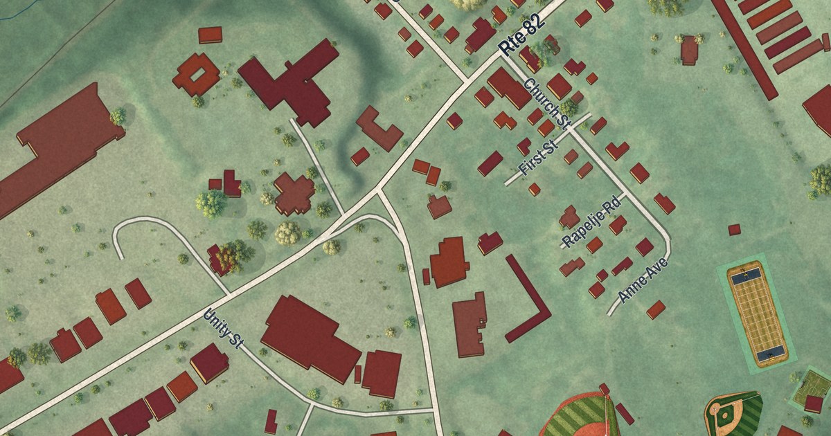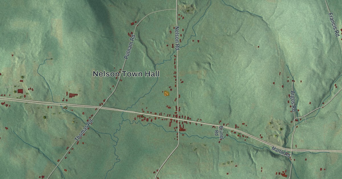
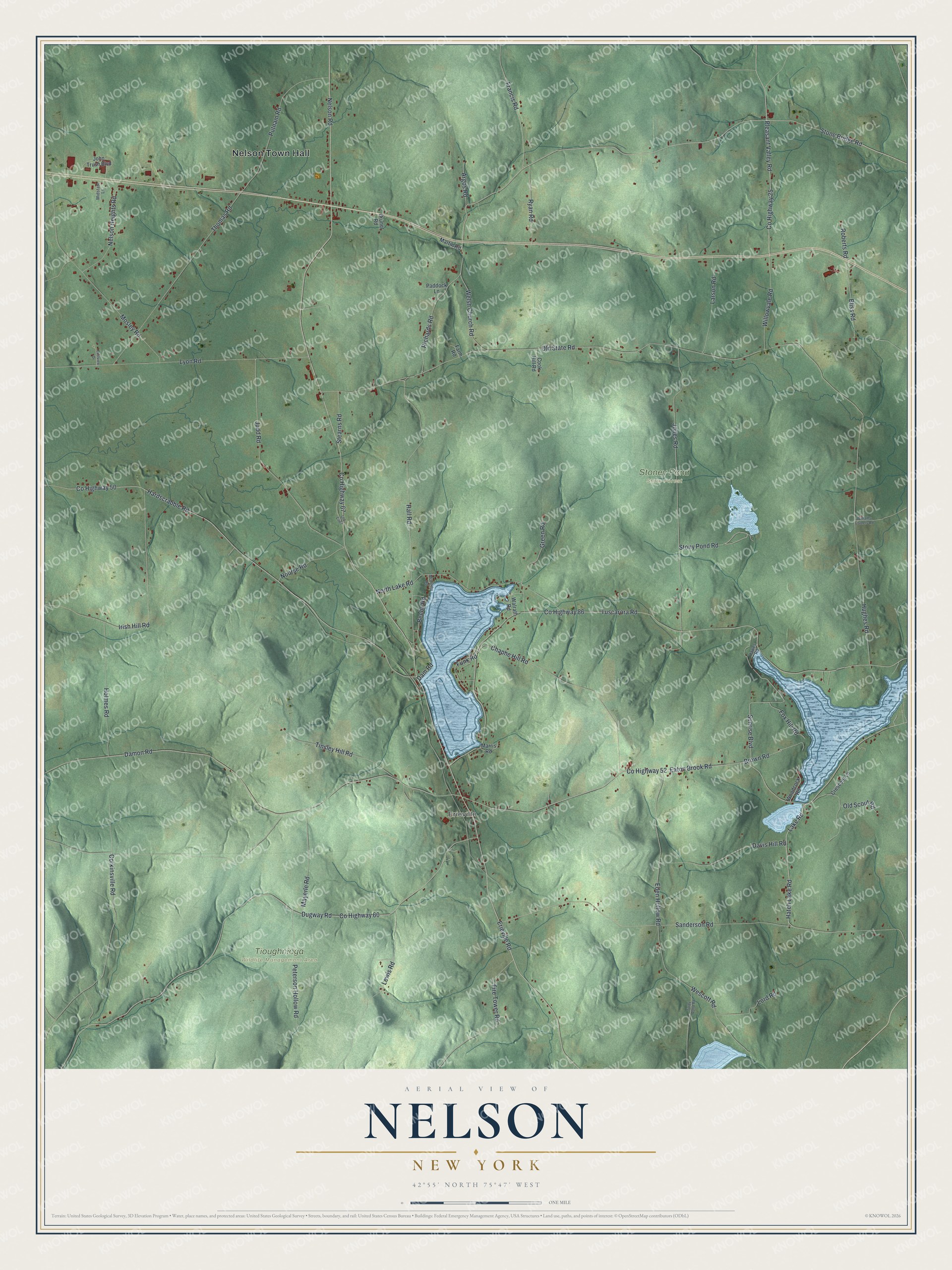
This beautifully detailed map of Nelson, New York was created in 2026 using aerial imagery combined with modern topographical, census, street and landmark data. It’s a one-of-a-kind view of Nelson that combines accurate data with a vintage aesthetic. The map shows every building in its true location, many of the roads carry their names, and the shaded topographic relief shows the shape of the land.
Explore an aerial view of Nelson, New York
On the map you’ll find Nelson Town Hall, Erieville, Stoney Pond State Forest, and Tioughnioga Wildlife Management Area, along with Hatch Lake Road, Nelson Road, Erieville Road, Stone Bridge Road, and more. If you look closely you can even find your house accurately drawn in its correct location. Zoom in on the preview to look for yours.
Did You Know?
The town honors Horatio Nelson, the English naval hero. It was carved out of Cazenovia in 1807, one year after Madison County was formed. Its Welsh Congregational Church joined the National Register of Historic Places in 1993.
Take a closer look at the Nelson map
Names on this map
These names are printed on this map.
Places: Nelson Town Hall, Erieville, Stoney Pond State Forest and Tioughnioga Wildlife Management Area.
Streets and roads: Hatch Lake Road, Nelson Road, Erieville Road, Stone Bridge Road, Beebe Road, Pleasant Valley Road, Stony Pond Road, Brown Road, County Highway 67, County Highway 52, County Highway 86, Tuscarora Road.
More street names, A to Z
Argos Road, Bliss Road, Brunel Road, Chaphe Hill Road, Cook Hill Road, Corkinsville Road, County Highway 25, County Highway 50, County Highway 60, Crescent Lane, Damon Road, Dam Road, Davis Hill Road, Dugway Road, Eastview Drive, Eaton Brook Road, Eden Hollow Road, Farm Road, Fire Tower Road, Fox Hill Road, Francis Road, Funk Road, Green Road, Hall Road, Hardscrabble Road, Hawes Road, Holmes Road, Hughes Road, Irish Hill Road, John Trush Boulevard, Jones Road, Judd Road, Lake Road, Larson Road, Lewis Road, Lord Road, Lyon Road, Marris Road, Martin Road, Mayerle Road, McCarthy Road, Midstate Lane, Mosley Road, Nelson Heights Road, North Lake Road, Nourse Road, Old Co67, Old Scout Road, Old State Road, Paddock Lane, Peterson Hollow Road, Putnam Road, Richards Road, Roberts Road, Ryan Road, Sanderson Road, Stearns Road, Sunrise Boulevard, Thomas Road, Tinsley Hill Road, Torpy Pond Road, Walrath Road, Welsh Church Road, Wescott Road, Williams Corners Road, Willowvale Road, Woodcock Road.
See it on a wall
The Nelson map as a framed print. Swipe for more.


This beautifully detailed map of Nelson makes an attractive addition to your office, library, or den, and it can even be used to teach children the geography and history of the area. It also makes a great gift for anyone who grew up in Nelson or moved away. When you’re done exploring, click here to get your copy of the Nelson map.