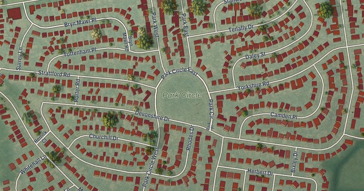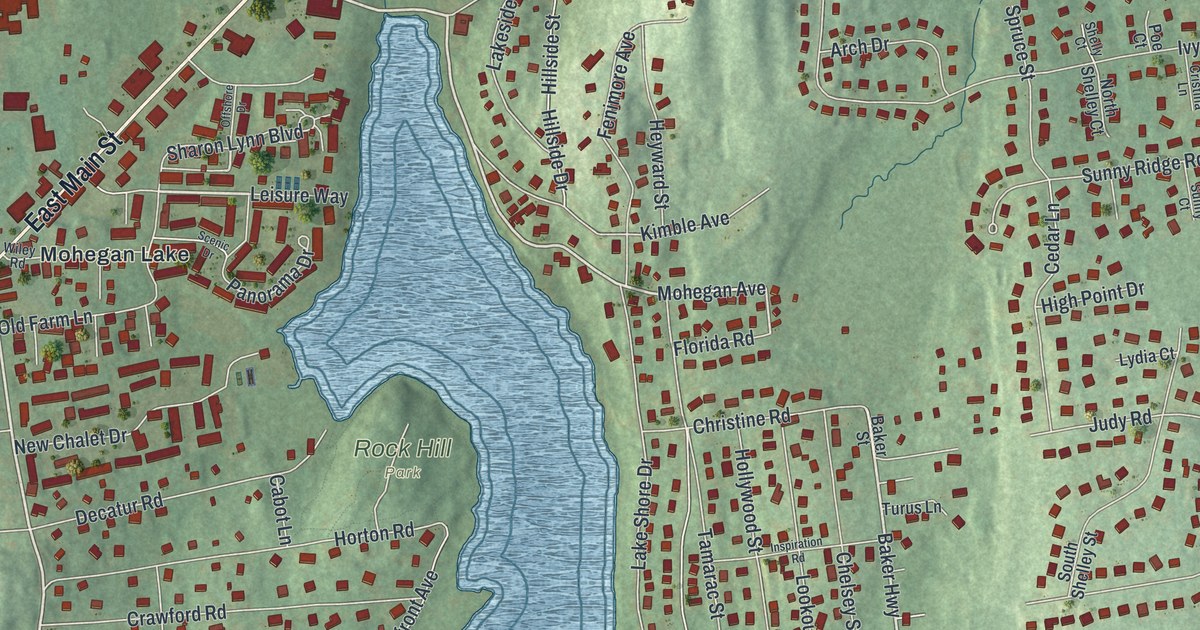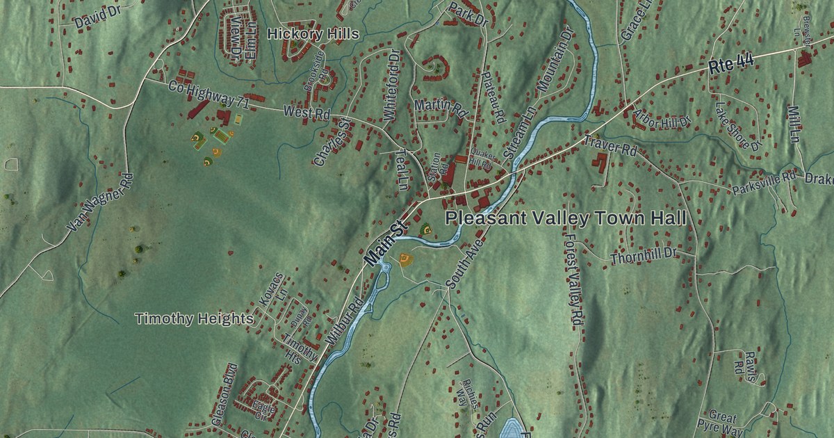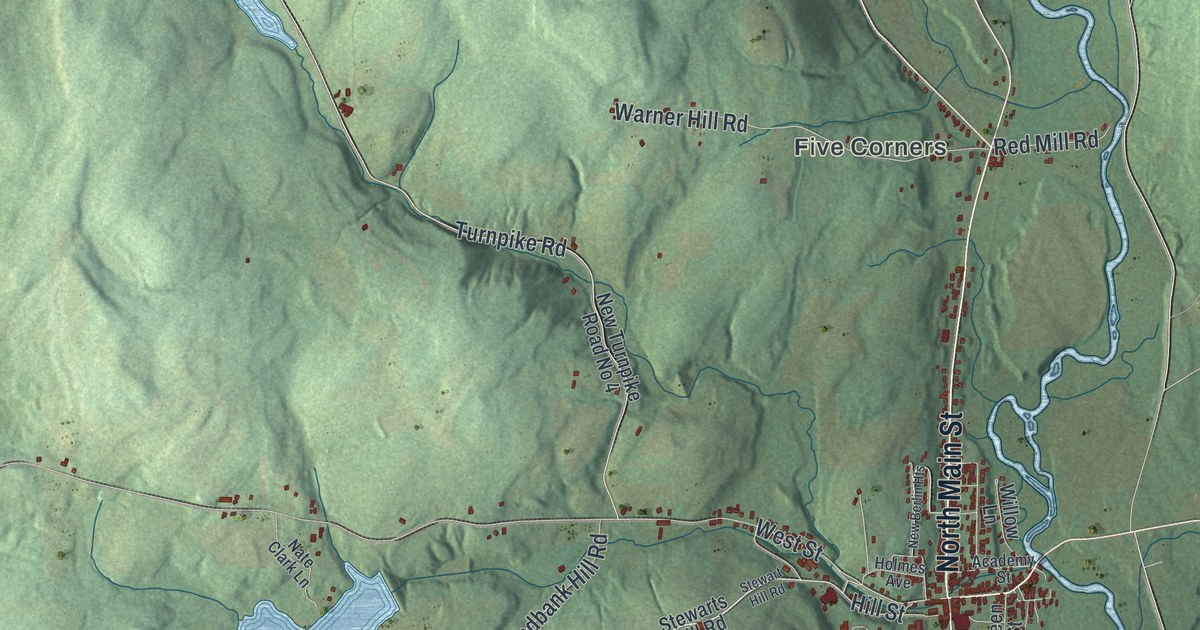
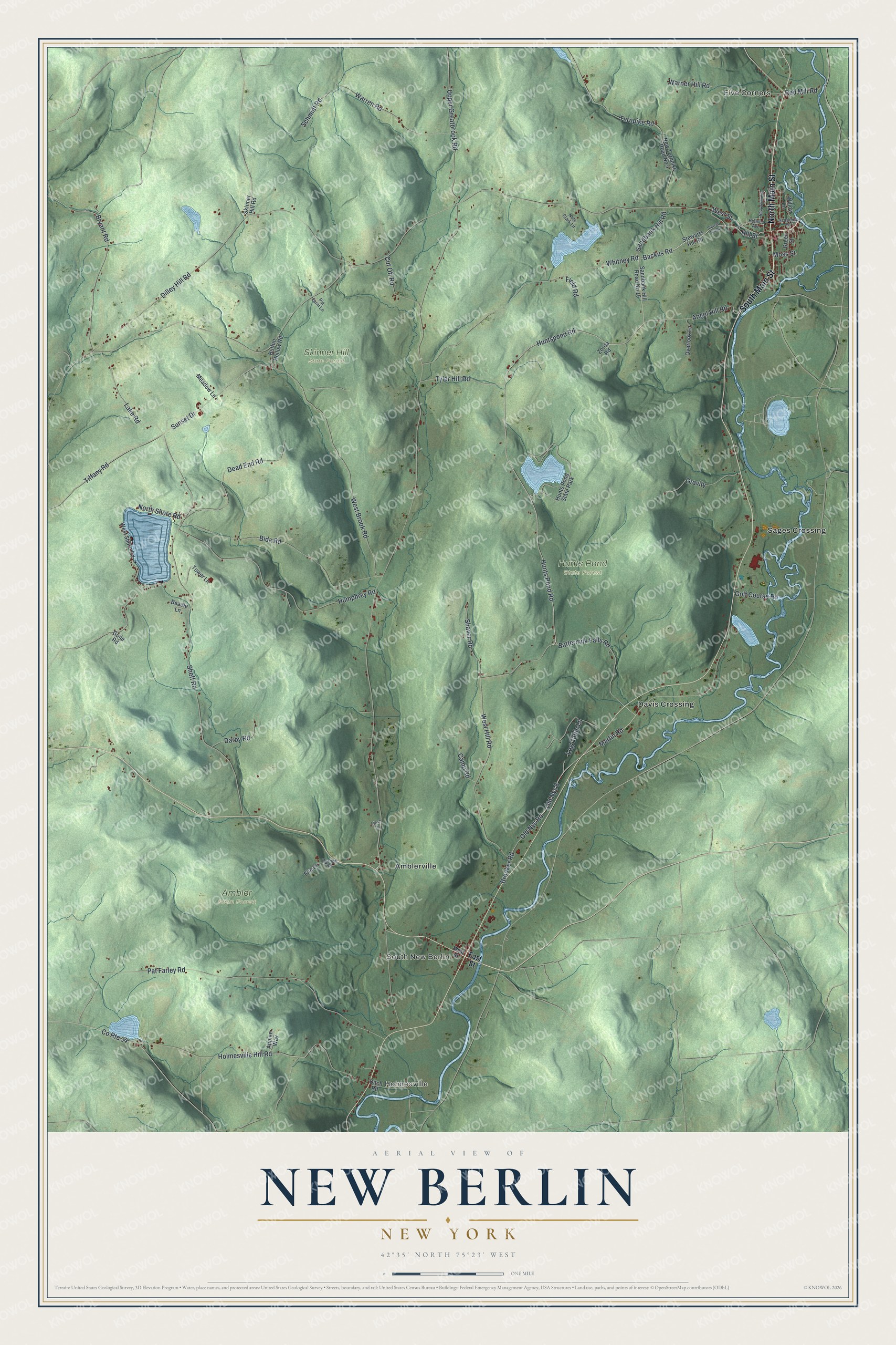
This beautifully detailed map of New Berlin, New York was created in 2026 using aerial imagery combined with modern topographical, census, street and landmark data. It’s a one-of-a-kind view of New Berlin that combines accurate data with a vintage aesthetic. The map shows every building in its true location, many of the roads carry their names, and the shaded topographic relief shows the shape of the land.
Explore an aerial view of New Berlin, New York
On the map you’ll find Five Corners, Holmesville, South New Berlin, Amblerville, Davis Crossing, Ambler State Forest, Hunts Pond State Forest, and Skinner Hill State Forest, along with Main Street, East Street, Backus Road, Hill Street, Huntspond Road, and more. If you look closely you can even find your house accurately drawn in its correct location. Zoom in on the preview to look for yours.
Did You Know?
The town split off from Norwich in 1807 and took its name from Berlin, Germany. In 1821, the town became Lancaster for a short time. That new name lasted only until the next year, when the old one returned. The first settlers had arrived around 1790, after the Revolutionary War.
Take a closer look at the New Berlin map
Names on this map
These names are printed on this map.
Places: Five Corners, Holmesville, South New Berlin, Ambler State Forest, Hunts Pond State Forest, Skinner Hill State Forest, Amblerville, Davis Crossing, Sages Crossing and Hunts Pond State Park.
Streets and roads: North Main Street, South Main Street, Backus Road, Hill Street, Huntspond Road, Sandbank Hill Road, Hunts Pond Road, Buttermilk Falls Road, Old Nys Road, Old Nys 8, West Street, Sunset Drive.
More street names, A to Z
Academy Street, Angel Hill Road, Appian Way, Beadle Lane, Bida Road, Branch Road, Brooker Road, Bryant Road, Button Hollow Road, Camp Road, County Route 34, Cut Off Road, Darby Road, Dead End Road, Dilley Hill Road, Ditch Road, East Street, Field Road, Fire Lane, Golf Course Road, Gravity, Green Street, Guile Road, Holmes Avenue, Holmesville Hill Road, Humphrey Road, Lake Road, Log Cabin Lane, Lynch Lane, Martin Road, Meadow Lane, Moss Street, Nate Clark Lane, New Berlin Heights, New Turnpike Road No 4, North Shore Road, Overlook Lane, Pat Farley Road, Pig Farm Lane, Red Mill Road, Sandbank Hill Road No 15, Schmidt Road, Shaver Road, Sheff Road, Skinner Hill Road, Stewart Hill Road, Stewarts Hill Road, Tiffany Road, Tower Lane, Turnpike Road, Tyler Hill Road, Upper Greatbrook Road, Warner Hill Road, Warren Road, West Brook Road, West Hill Road, West Shore Road, Whitney Road, Willow Lane, Zorda Road.
See it on a wall
The New Berlin map as a framed print. Swipe for more.


This beautifully detailed map of New Berlin makes an attractive addition to your office, library, or den, and it can even be used to teach children the geography and history of the area. It also makes a great gift for anyone with New Berlin roots. When you’re done exploring, click here to get your copy of the New Berlin map.