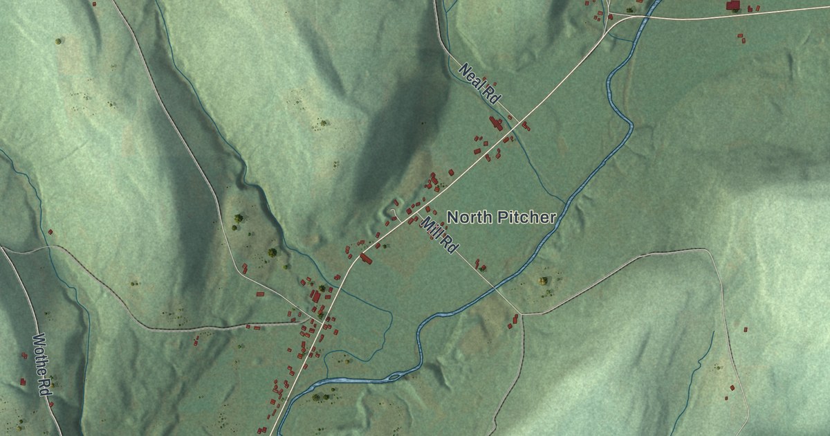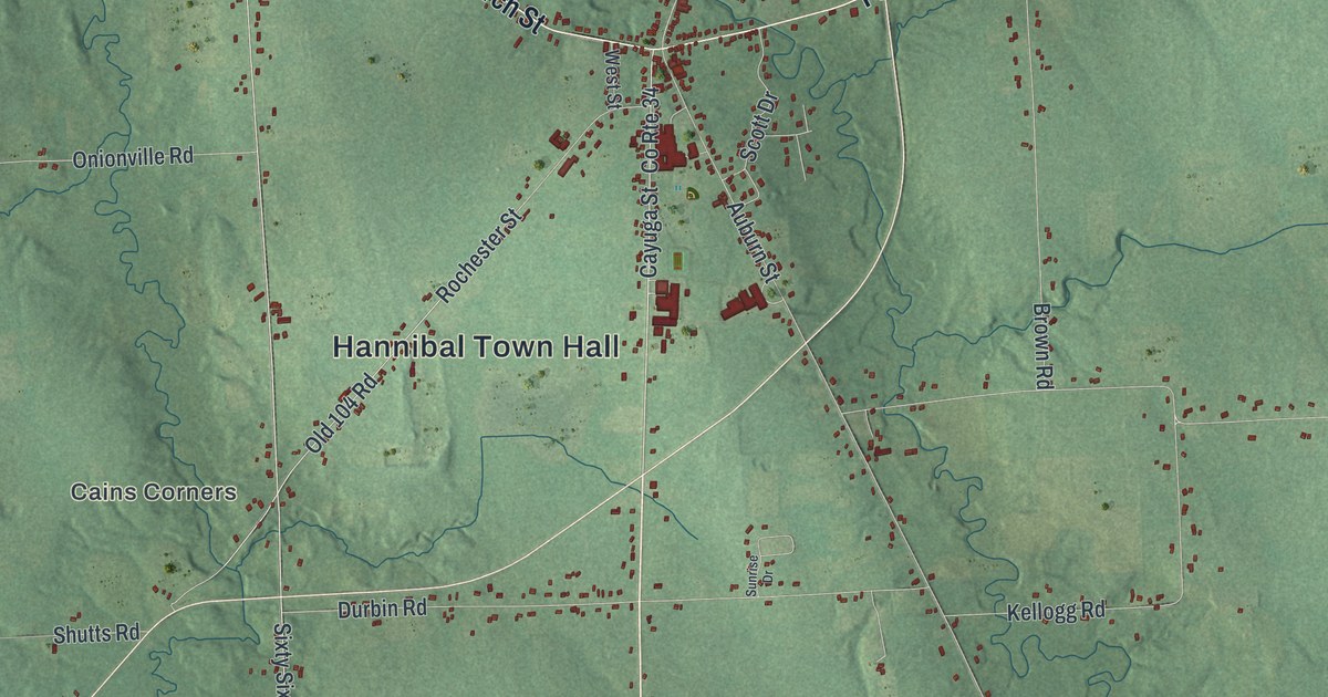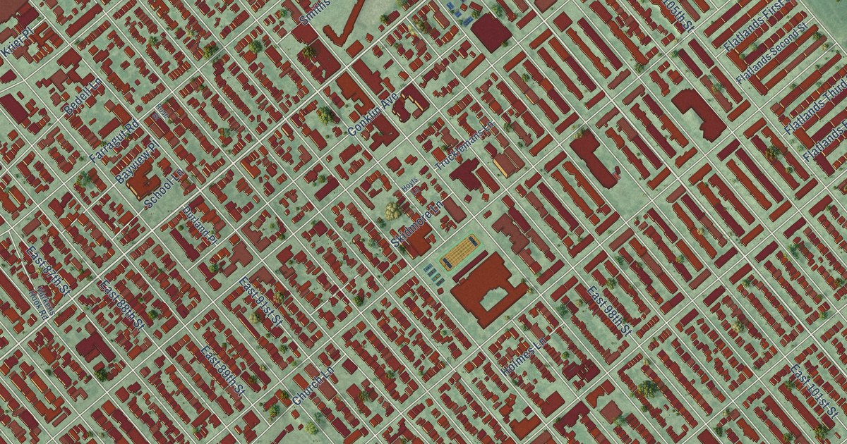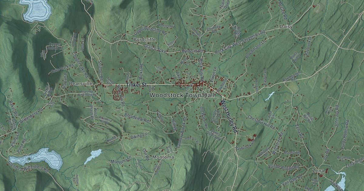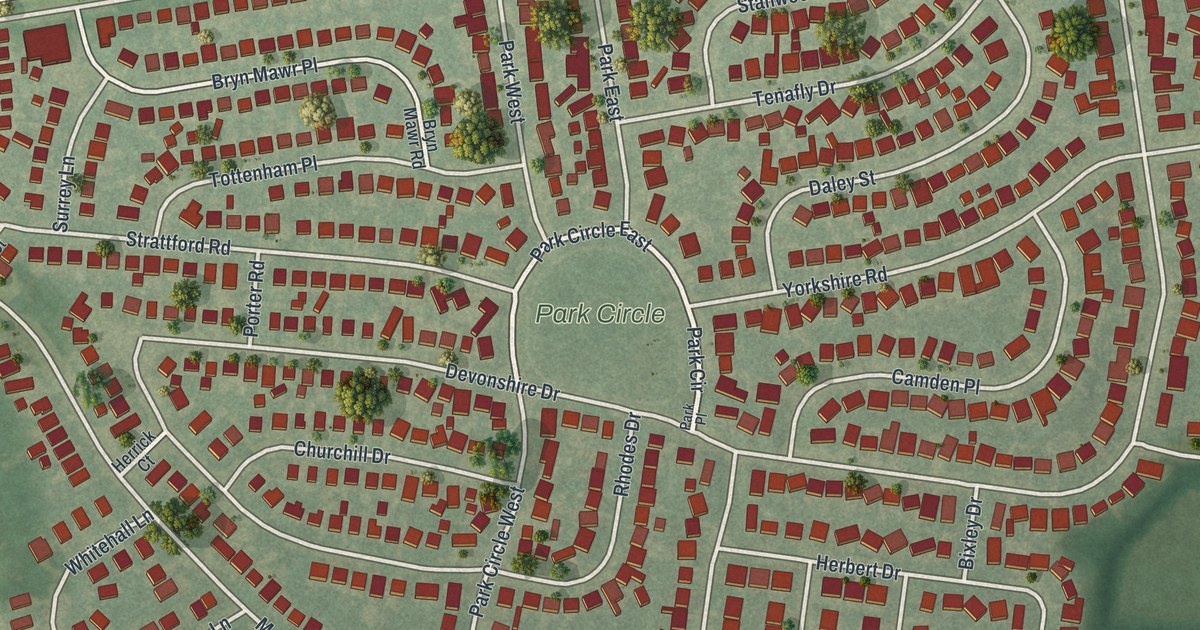
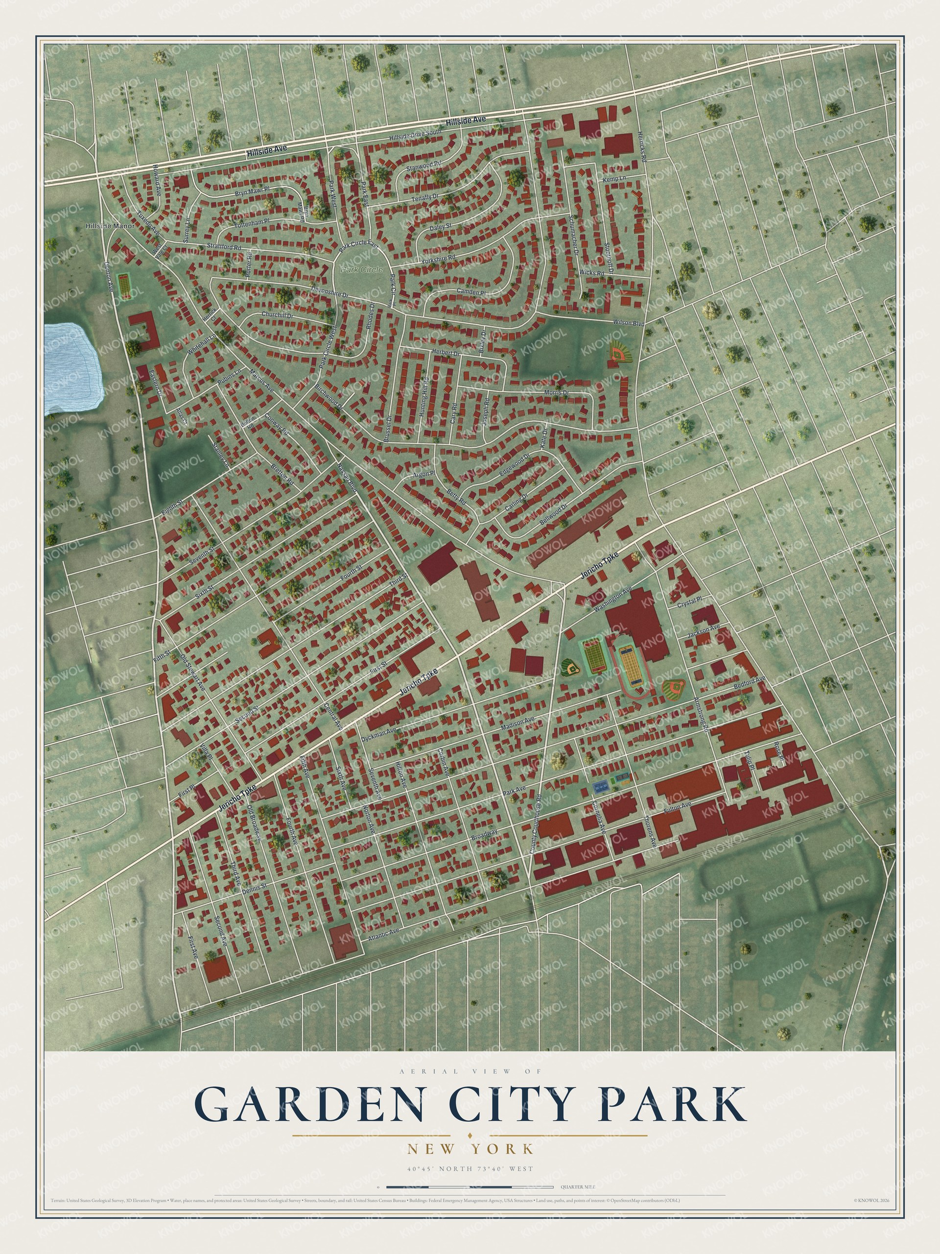
This beautifully detailed map of Garden City Park, New York was created in 2026 using aerial imagery combined with modern topographical, census, street and landmark data. It’s a one-of-a-kind view of Garden City Park that combines accurate data with a vintage aesthetic. The map shows every building in its true location, many of the roads carry their names, and the shaded topographic relief shows the shape of the land.
Explore an aerial view of Garden City Park, New York
On the map you’ll find Park East, along with Hillside Avenue, Jericho Turnpike, Denton Avenue, Nassau Boulevard, Park Circle, and more. If you look closely you can even find your house accurately drawn in its correct location. Zoom in on the preview to look for yours.
Did You Know?
From about 1787 to about 1874, Garden City Park went by the name Clowesville. In those years it was the county seat of Queens County, home to its courthouse and jail. The newer name came later, from the nearby Garden City development.
Take a closer look at the Garden City Park map
Names on this map
These names are printed on this map.
Places: Park Circle and Hillside Manor.
Streets and roads: Hillside Avenue, Jericho Turnpike, Denton Avenue, Nassau Boulevard, County Courthouse Road, Park East, Park West, Park Circle East, Herricks Road, Marcus Avenue, Devonshire Drive, Broadway.
More street names, A to Z
Argon Place, Armstrong Road, Atlantic Avenue, Atlas Court, Bedford Avenue, Bellwood Drive, Betty Road, Birchwood Drive, Bixley Drive, Bolton Road, Bretton Road, Brussel Drive, Bryn Mawr Place, Bryn Mawr Road, Camden Place, Carling Drive, Cary Road, Central Avenue, Churchill Drive, Conway Road, Corbin Avenue, Cornelia Avenue, Crystal Place, Daley Street, Dennis Street, Dyckman Avenue, Eastern Drive, Edgewood Drive, Eighth Street, Fifth Avenue, Fifth Street, First Avenue, First Place, First Street, Fourth Avenue, Fourth Street, Fulton Avenue, Herbert Drive, Herrick Court, Hillside Drive South, Hilton Avenue, Howard Avenue, Hunting Hill Road, Jackson Avenue, Joseph Road, Kate Drive, Kemp Lane, Madison Avenue, Morris Drive, Norton Avenue, Old Broadway, Old Stewart Avenue, Park Avenue, Park Circle West, Park Place, Porter Road, Pubins Lane, Rhodes Drive, Rose Place, Schumacher Drive, Second Avenue, Second Street, Seventh Avenue, Seventh Street, Sixth Avenue, Sixth Street, Stanley Lane, Stanwood Road, Stoothoff Drive, Strattford Road, Surrey Lane, Tenafly Drive, Third Avenue, Third Street, Thorens Avenue, Tottenham Place, Tulip Place, Tuxedo Avenue, Villa Place, Washington Avenue, West Vale Court, Whitehall Lane, Wicks Road, Wilson Boulevard, Yorkshire Road.
See it on a wall
The Garden City Park map as a framed print. Swipe for more.


This beautifully detailed map of Garden City Park makes an attractive addition to your office, library, or den, and it can even be used to teach children the geography and history of the area. It also makes a great gift for anyone who grew up in Garden City Park or moved away. When you’re done exploring, click here to get your copy of the Garden City Park map.