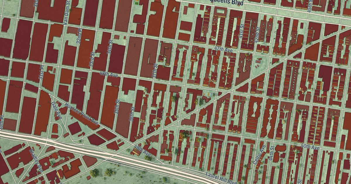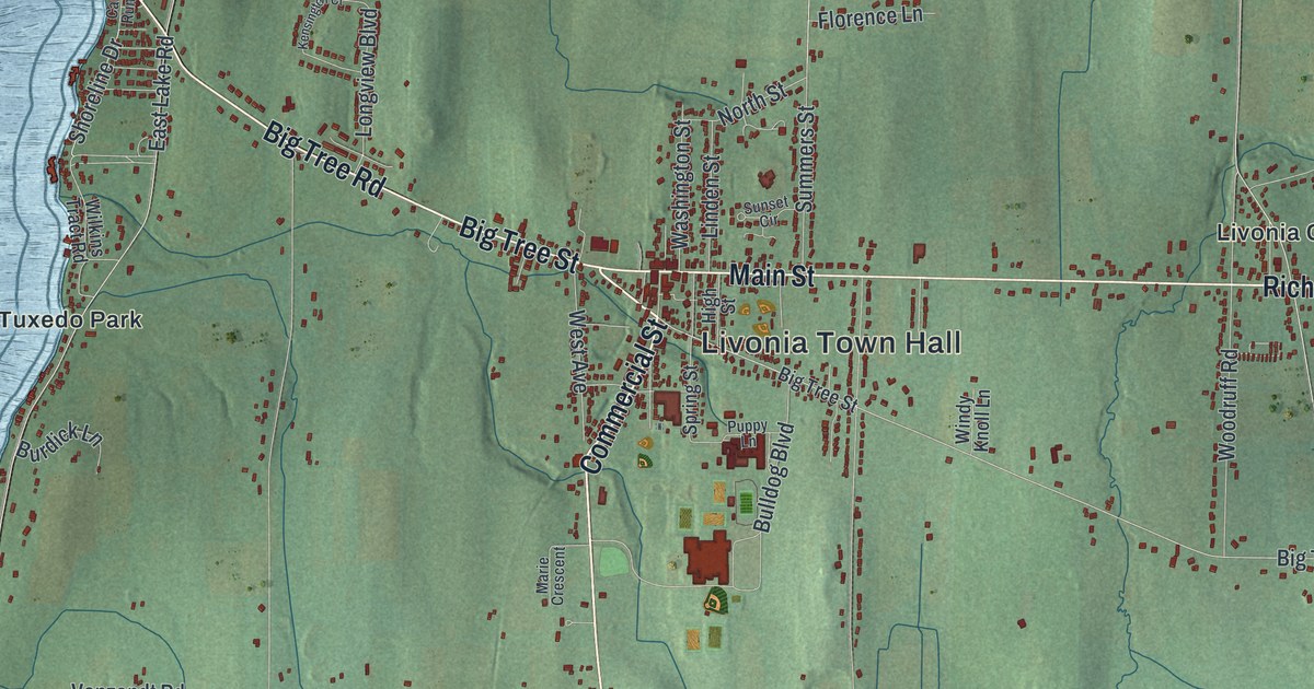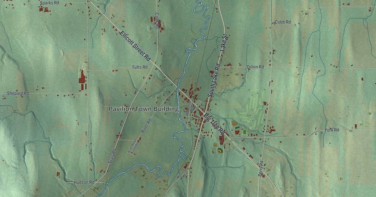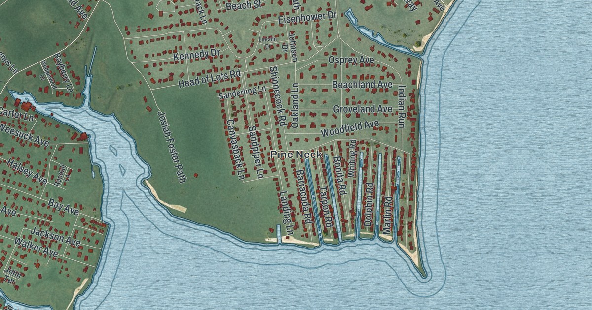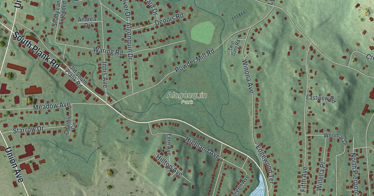
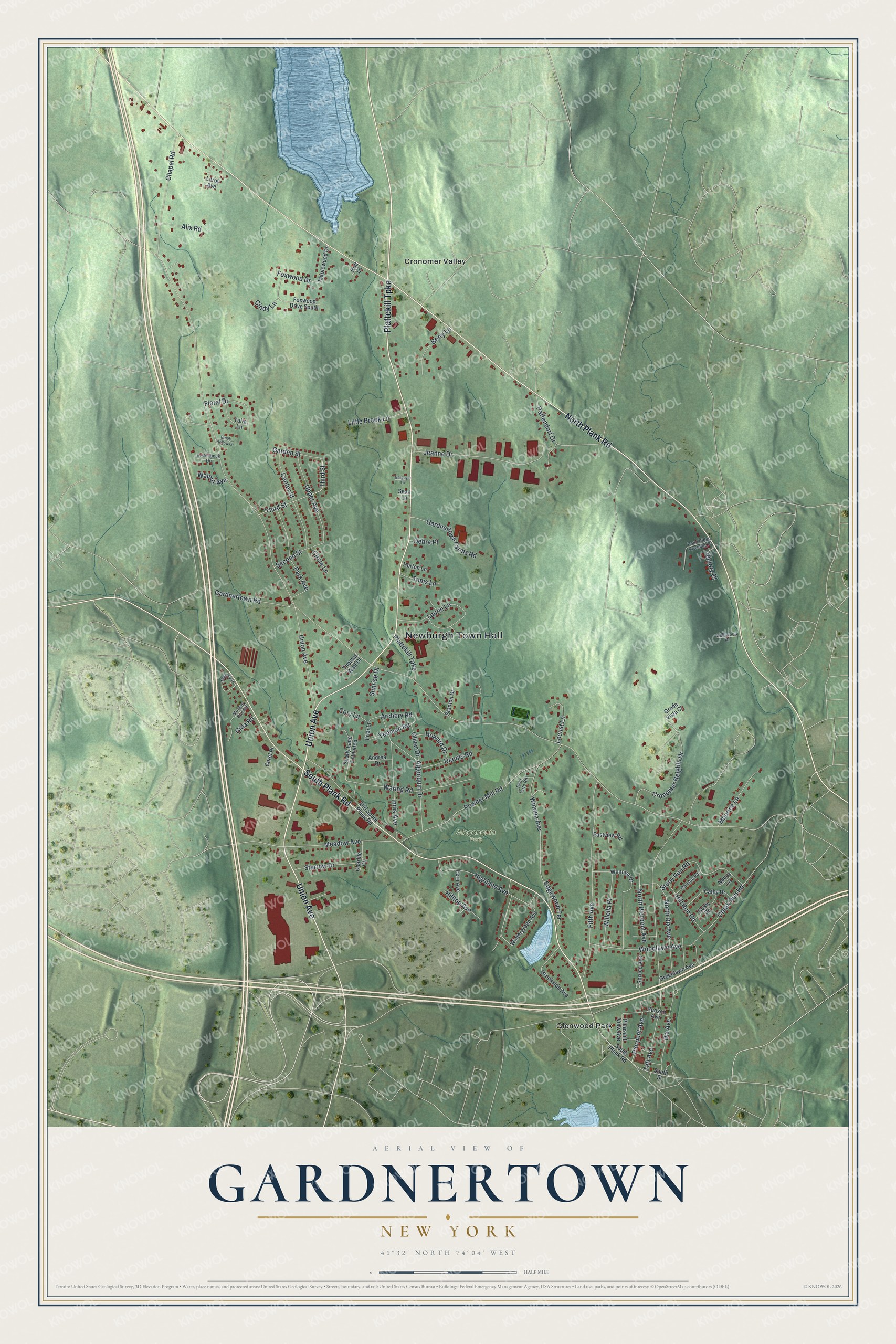
This beautifully detailed map of Gardnertown, New York was created in 2026 using aerial imagery combined with modern topographical, census, street and landmark data. It’s a one-of-a-kind view of Gardnertown that combines accurate data with a vintage aesthetic. The map shows every building in its true location, many of the roads carry their names, and the shaded topographic relief shows the shape of the land.
Explore an aerial view of Gardnertown, New York
On the map you’ll find Newburgh Town Hall, Cronomer Valley, Glenwood Park, and Alogonquin Park, along with Plattekill Turnpike, Union Avenue, Plank Road, Third Street, and more. If you look closely you can even find your house accurately drawn in its correct location. Zoom in on the preview to look for yours.
Did You Know?
Gardnertown is named for Silas Gardner, an early settler. His stone house is a registered historic place and is still lived in as a private home. The hamlet was also the site of a gunpowder mill. Its ruins are the centerpiece of the Orange Mill Historic District. It is the only such district in the town of Newburgh.
Take a closer look at the Gardnertown map
Names on this map
These names are printed on this map.
Places: Newburgh Town Hall, Alogonquin Park, Cronomer Valley and Glenwood Park.
Streets and roads: Plattekill Turnpike, Union Avenue, South Plank Road, North Plank Road, Third Street, Meadow Avenue, Cronomer Heights Drive, Waring Road, Park Avenue, Gardnertown Road, Taft Avenue, Fifth Avenue.
More street names, A to Z
Algonquin Drive, Alix Road, Andrea Drive, Archery Road, Berry Lane, Brook Hollow Lane, Brookside Avenue, Cathy Drive, Center Street, Chapel Road, Charlile Circle, Christie Road, Cindy Lane, Circle Lane, Corel Place, Cory Lane, Creek Run Road, Dalewood Drive, Debra Place, Dennis Road, Dix Avenue, Eastview Road, Edgewood Terrace, Fern Avenue, Floral Drive, Foxwood Drive, Foxwood Drive South, Friar Lane, Garden Street, Gardnertown Farms Road, Gargoyle Lane, Gida Road, Greenlawn Avenue, Grnde Vista Court, Gusty Road, Highland Avenue, Hill Run Road, Hilltop Avenue, Hollenbeck Drive, Holt Lane, Horton Lane, Howard Drive, Hudson Avenue, Innis Avenue, Jeanne Drive, Laurie Lane, Leroy Avenue, Little Brook Lane, Locust Lane, Magnolia Lane, Maplewood Drive, Maurice Lane, Monkey Run Road, Nancy Lane, North Dix Avenue, North Pierpont Avenue, Old South Plank Road, Oliver Drive, Paffendorf Drive, Pierpont Avenue, Pleasant View Avenue, Pond Ridge Crossing Pr, Powder Mill Road, Sean Lane, Second Street, Shady Lane Extended, South Street, Spruce Avenue, Stanton Drive, Starrow Drive, Stony Run Road, Sunrise Drive, Thomas Watt Drive, Toms Lane, Tulip Lane, Twin Gate Road, Upper Avenue, Victory Court, Walnut Avenue, Wenmar Drive, Willella Place, Winona Avenue, Wintergreen Avenue, Woodlawn Avenue, Yeoman Road.
See it on a wall
The Gardnertown map as a framed print. Swipe for more.


This beautifully detailed map of Gardnertown makes an attractive addition to your office, library, or den, and it can even be used to teach children the geography and history of the area. It also makes a great gift for anyone with Gardnertown roots. When you’re done exploring, click here to get your copy of the Gardnertown map.