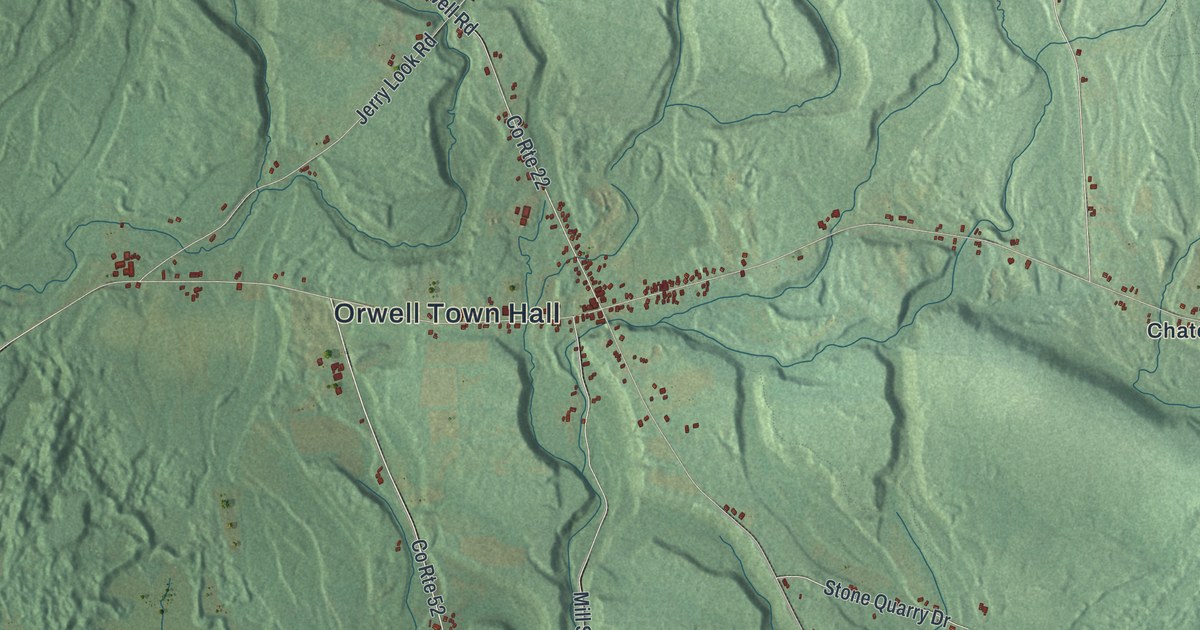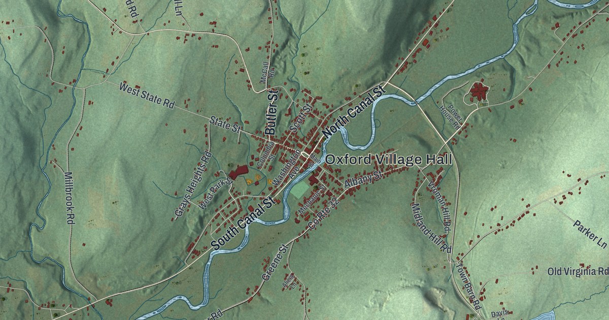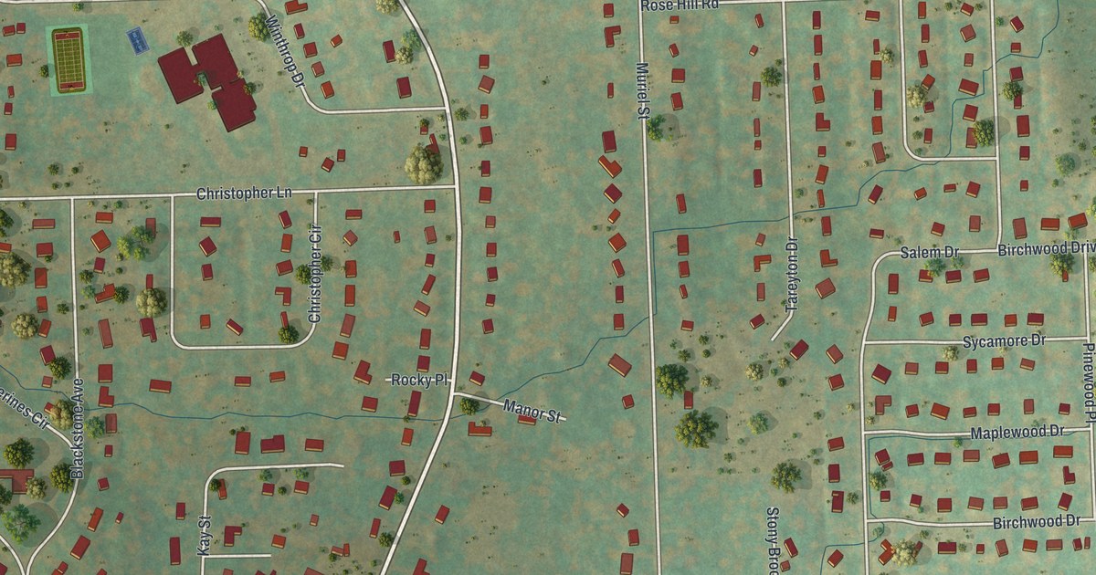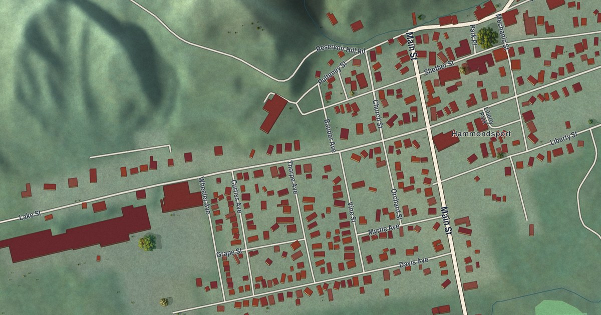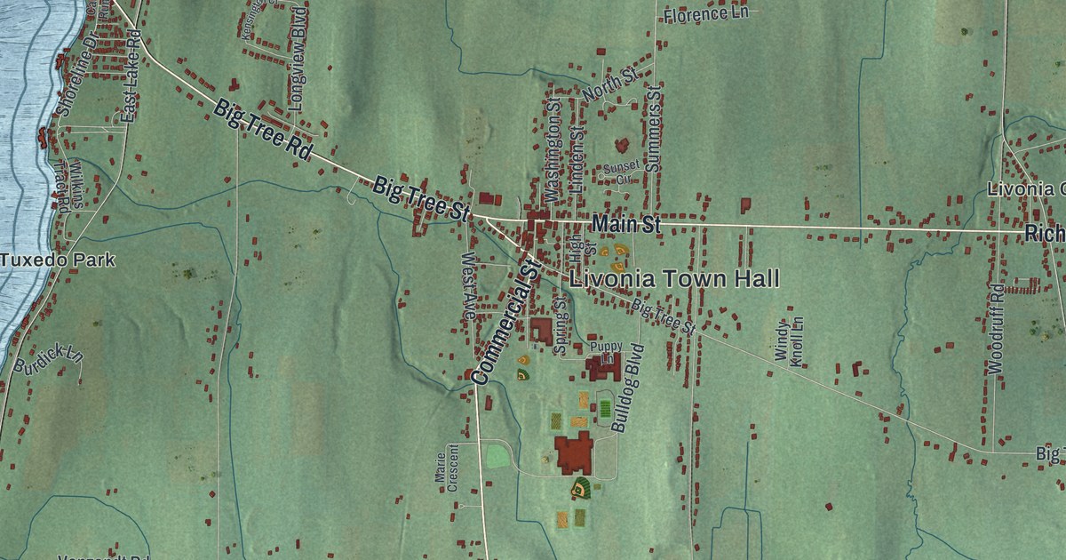
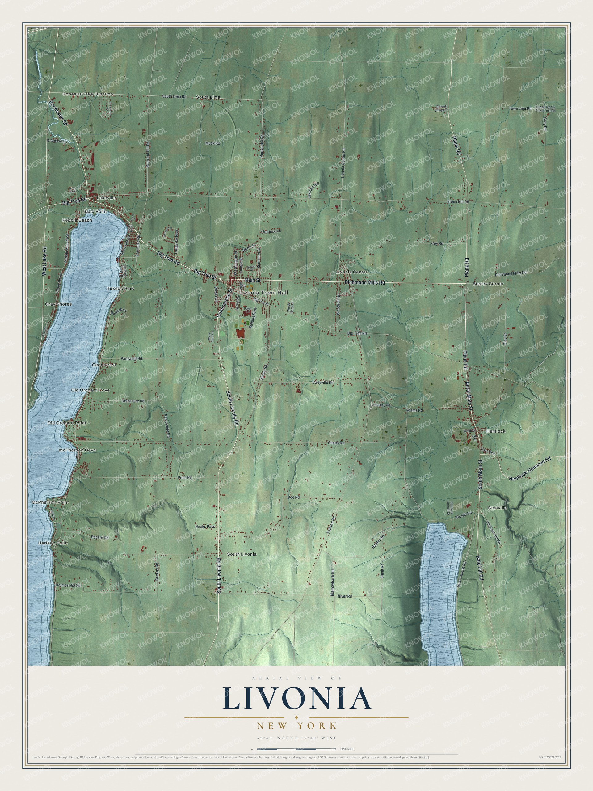
This beautifully detailed map of Livonia, New York was created in 2026 using aerial imagery combined with modern topographical, census, street and landmark data. It’s a one-of-a-kind view of Livonia that combines accurate data with a vintage aesthetic. The map shows every building in its true location, many of the roads carry their names, and the shaded topographic relief shows the shape of the land.
Explore an aerial view of Livonia, New York
On the map you’ll find Livonia Town Hall, Conesus Lake Junction, Hartson Point, McPherson Point, Bosley Corner, and Cedarcrest, along with Livonia Road, Richmond Mills Road, Main Street, Big Tree Street, and more. If you look closely you can even find your house accurately drawn in its correct location. Zoom in on the preview to look for yours.
Did You Know?
Solomon Woodruff became the first European-American settler here in 1789. The town of Livonia was formed from Richmond in 1808. Its name comes from the Baltic province of Livonia. In the 1800s many people moved west from here, and the city of Livonia, Michigan, is named for this town.
Take a closer look at the Livonia map
Names on this map
These names are printed on this map.
Places: Livonia Town Hall, Conesus Lake Junction, Hartson Point, McPherson Point, Bosley Corner, Cedarcrest, Glenville, Gray Shores, Hemlock, Lakeville, Livonia Center, McPherson Cove, Old Orchard Cove, Old Orchard Point, Pebble Beach, Sand Point, South Lima, South Livonia and Tuxedo Park.
Streets and roads: South Livonia Road, Richmond Mills Road, Main Street, Big Tree Street, Commercial Street, North Main Street, South Main Street, Rochester Road, Bald Hill Road, Big Tree Road, Plank Road, West Lake Road.
More street names, A to Z
Adams Road, Backus Road, Blank Road, Boat Launch Road, Bronson Hill Road, Bulldog Boulevard, Burdick Lane, Cadyville Road, Camp Run Drive, Clay Street, Cleary Road, Cluny Point, Coe Road, Coy Road, D'Angelo Drive, Decker Road, Densmore Road, East Avenue, East Lake Road, Fair Street, Federal Road, Florence Lane, Gray Road, Graywood Center, Greene Village Drive, Haaks Pass, Harder Road, Hemlock-Honeoye Road, Hemlock Launch Drive, High Street, Holmes Hill Road, Jakman Hill, Kensington Court, Lima-Livonia Town Line Road, Linden Street, Lindsey Avenue, Lindsley Road, Livonia Center Road, Longview Boulevard, Marie Crescent, Marrowback Road, Muck Road, Niver Road, North Street, Old Bald Hill Road, Pebble Beach Road, Pennemite Road, Pennsylvania Avenue, Poplar Hill Road, Price Road, Puppy Lane, Rix Hill Road, Shelly Road, Shoreline Drive, South Lima Road, Spring Street, Stone Hill Road, Summers Street, Sunset Circle, Thomas Drive, Town Line Road, Turtle Rock, Vanzandt Road, Washington Street, Water Street, West Avenue, Wilkins Tract Road, Windy Knoll Lane, Woodruff Road.
See it on a wall
The Livonia map as a framed print. Swipe for more.


This beautifully detailed map of Livonia makes an attractive addition to your office, library, or den, and it can even be used to teach children the geography and history of the area. It also makes a great gift for someone who left Livonia and still calls it home. When you’re done exploring, click here to get your copy of the Livonia map.