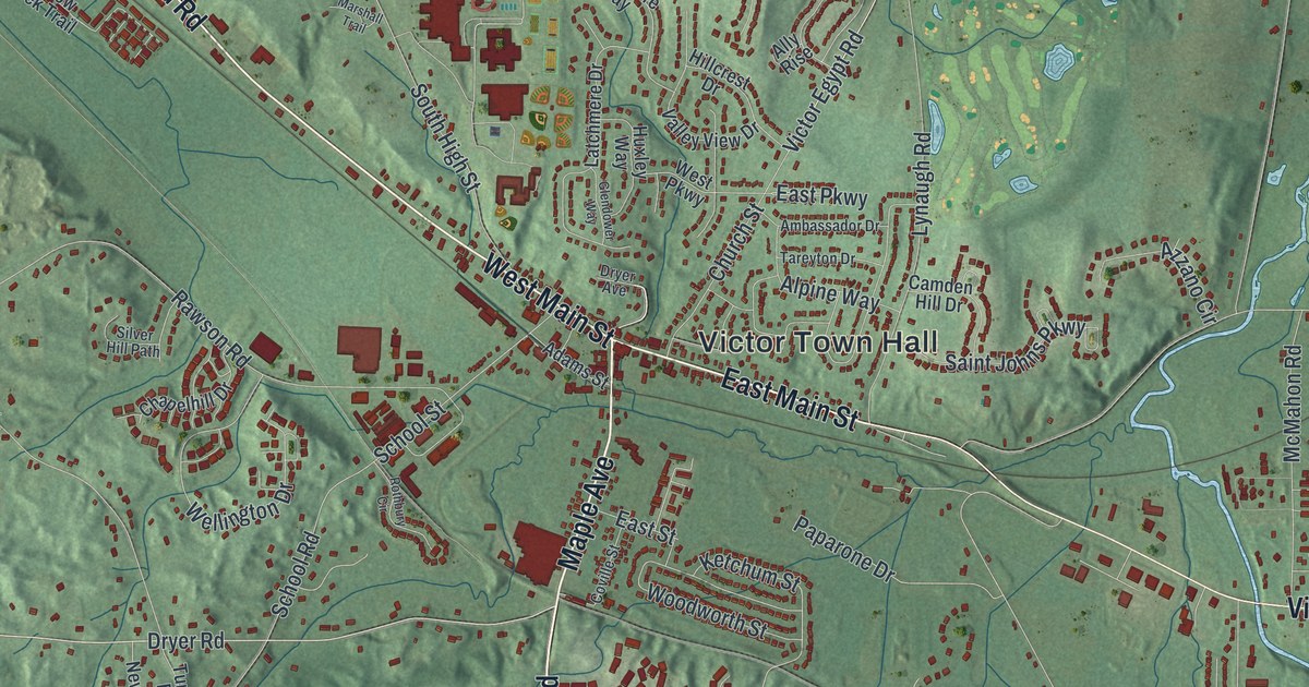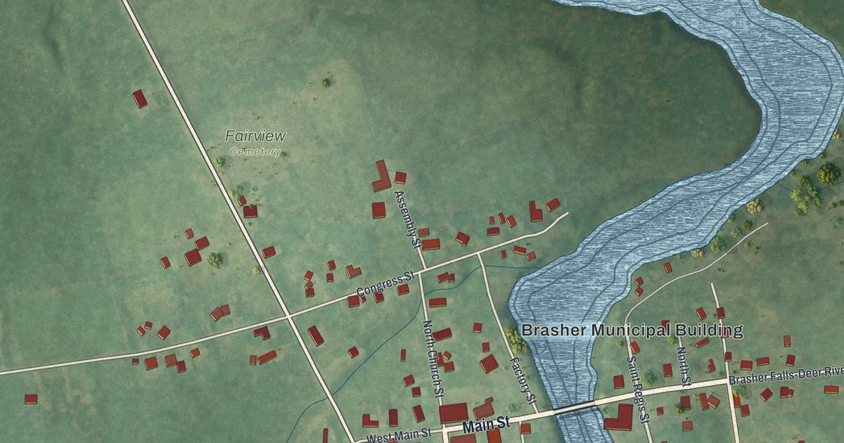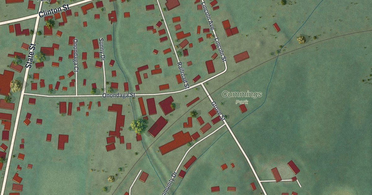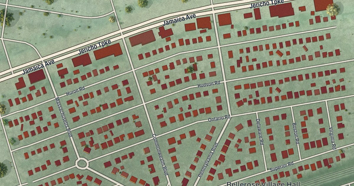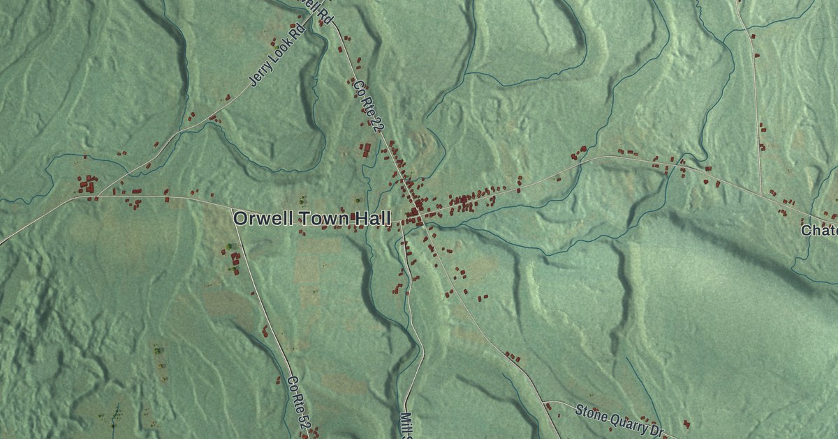
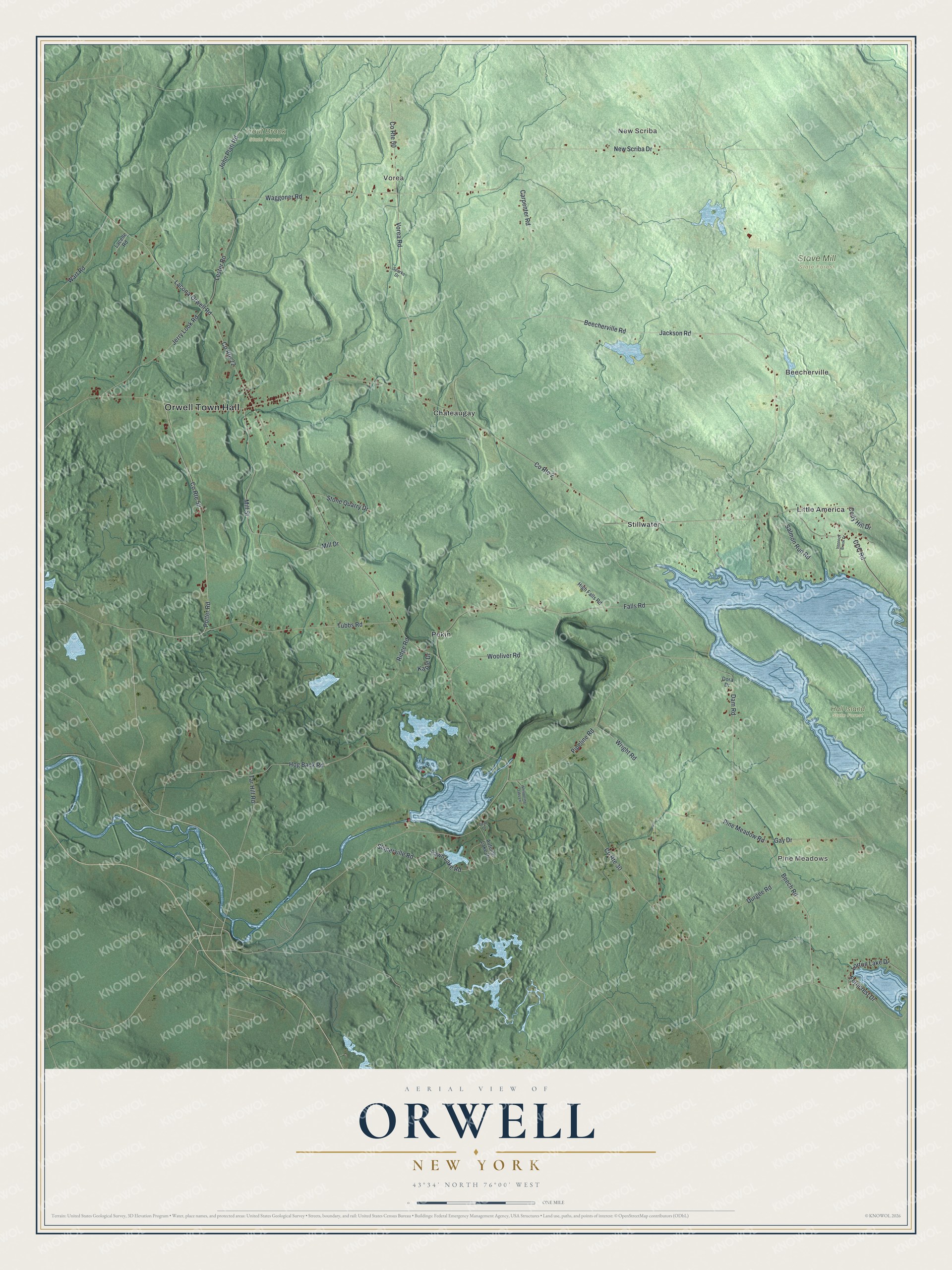
This beautifully detailed map of Orwell, New York was created in 2026 using aerial imagery combined with modern topographical, census, street and landmark data. It’s a one-of-a-kind view of Orwell that combines accurate data with a vintage aesthetic. The map shows every building in its true location, many of the roads carry their names, and the shaded topographic relief shows the shape of the land.
Explore an aerial view of Orwell, New York
On the map you’ll find Orwell Town Hall, New Scriba, Vorea, Pine Meadows, Beecherville, Chateaugay, Hall Island State Forest, Stave Mill State Forest, and Trout Brook State Forest, along with Beech Road, John Platt Road, Lester Road, Salmon Run Road, and more. If you look closely you can even find your house accurately drawn in its correct location. Zoom in on the preview to look for yours.
Did You Know?
Orwell took its name from Orwell, Vermont. Settlers first arrived around 1806. The town was carved out of Richland in 1817. It lost land when Boylston was founded in 1828, then gained more from Richland in 1844.
Take a closer look at the Orwell map
Names on this map
These names are printed on this map.
Places: Orwell Town Hall, New Scriba, Vorea, Pine Meadows, Beecherville, Hall Island State Forest, Stave Mill State Forest, Trout Brook State Forest, Chateaugay, Little America, Pekin and Stillwater.
Streets and roads: County Route 52, Beech Road, County Route 30, John Platt Road, Lester Road, Salmon Run Road, County Route 22, County Route 2, Jackson Road, Beecherville Road, Dam Road, Hog Back Road.
More street names, A to Z
Autumn Lake Drive, Carpenter Road, CCC Road, Cody Hill Drive, County Route 50, Dean Drive, Dora Drive, Durgee Road, Falls Road, Fawn Lake Road, Ferncrest Drive, Gay Drive, High Falls Road, Jerry Look Road, Kaple Drive, Lacelle Road, Lacona-Orwell Road, Lorton Lake Drive, Mill Drive, Mill Street, New Scriba Drive, Pine Meadow Road, Pipeline Road, Potter Road, Ridge Road, Sloperville Road, Sparks Drive, Stone Quarry Drive, Tar Hill Road, Tubbs Road, Vennock Brook Drive, Vorea Road, Waggoner Road, Wart Road, Whispering Oaks Lane, Wooliver Road, Wright Road.
See it on a wall
The Orwell map as a framed print. Swipe for more.


This beautifully detailed map of Orwell makes an attractive addition to your office, library, or den, and it can even be used to teach children the geography and history of the area. It also makes a great gift for someone who left Orwell and still calls it home. When you’re done exploring, click here to get your copy of the Orwell map.