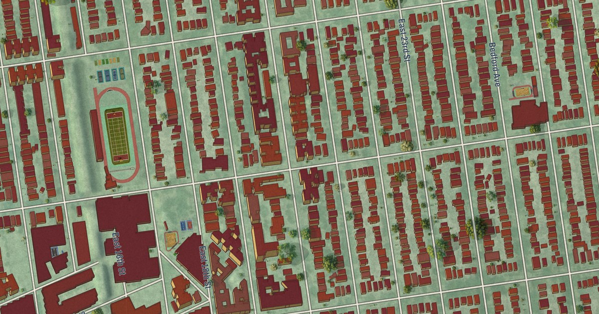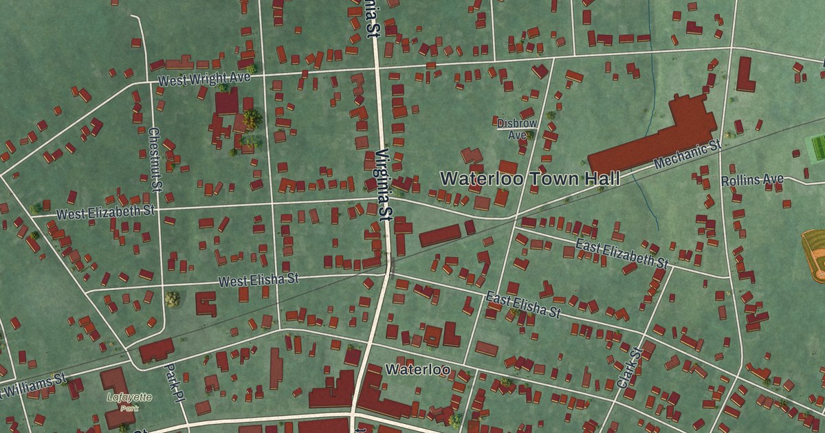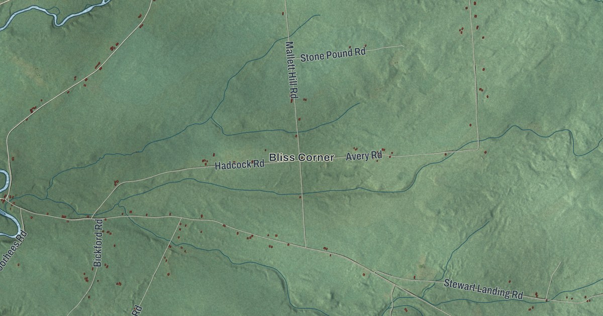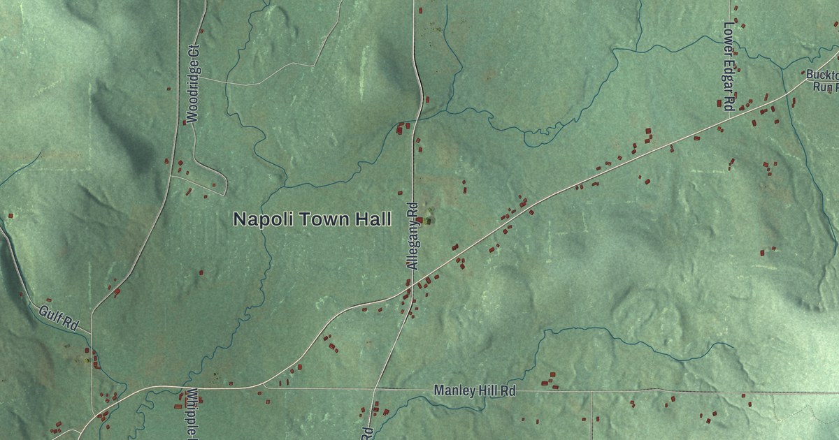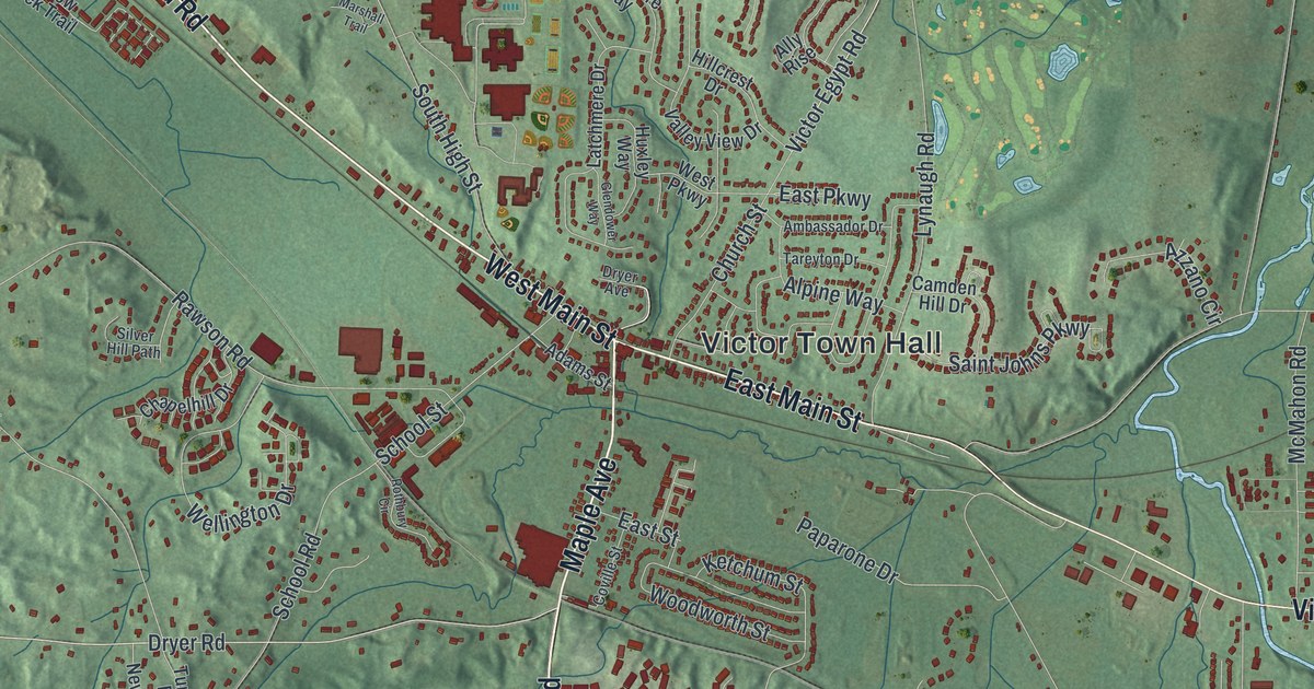
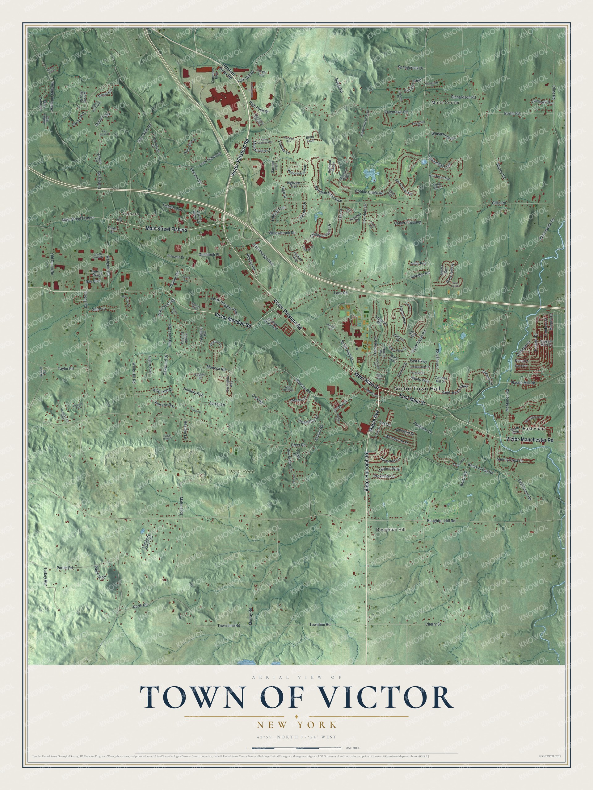
This beautifully detailed map of the Town of Victor, New York was created in 2026 using aerial imagery combined with modern topographical, census, street and landmark data. It’s a one-of-a-kind view of the Town of Victor that combines accurate data with a vintage aesthetic. The map shows every building in its true location, many of the roads carry their names, and the shaded topographic relief shows the shape of the land.
Explore an aerial view of the Town of Victor, New York
On the map you’ll find Victor Town Hall, Motts Corner, Fishers, Boughton Hill, East Victor, and Dryer Road Park, along with Victor-Pittsford Road, Main Street, Maple Avenue, Victor Mendon Road, and more. If you look closely you can even find your house accurately drawn in its correct location. Zoom in on the preview to look for yours.
Did You Know?
Victor stands on the site of the only battle ever fought in Ontario County. The French commander Denonville clashed with a Seneca force here in July 1687. On June 10, 1939, the village unveiled a monument to Kryn, the Mohawk chief known as The Great Shadow, who led the Christian Indian troops of the French side. That’s from the 1940 WPA guide to New York.
Take a closer look at the Town of Victor map
Names on this map
These names are printed on this map.
Places: Victor Town Hall, Motts Corner, Fishers, Boughton Hill, Dryer Road Park and East Victor.
Streets and roads: Victor-Pittsford Road, West Main Street, East Main Street, Maple Avenue, Victor Mendon Road, Main Street Fishers, Victor Holcomb Road, Victor-Manchester Road, Dryer Road, Wangum Road, Victor Egypt Road, Turk Hill Road.
More street names, A to Z
Adams Street, Aldridge Road, Ally Rise, Alpine Way, Ambassador Drive, Anton Rise, Arbor Glen Drive, Ashford Way, Ashwood Lane, Auburn Run, Azzano Circle, Baker Road, Barchan Dune Rise, Barony Woods, Beach Flint Way, Bel Arbor Drive, Benson Road, Blazey Road, Bortle Road, Boughton Hill Road, Brace Road, Bradhurst Street, Break of Day Road, Brent Knoll, Brownsville Road, Camden Hill Drive, Candlelight Run, Canning Parkway, Carrington Way, Challenger Circle, Championship Drive, Chapelhill Drive, Cherry Street, Cheshire Ridge, Chestnut Hl, Church Street, Citation Way, Cline Road, Cobble Creek Road, Cobblestone Court, Colyer Crossing, Commons Boulevard, Cork Road, Coville Street, Cranberry Pond Trail, Cunningham Drive, Deer Crossing, Dogwood Path, Dryer Avenue, Duck Hollow, East Parkway, East Street, East Victor Road, Eastview Manor, Eleanor Drive, Esker Rise, Falcons Point, Falmouth Lane, Fishers Circle, Fishers Hill Top Drive, Fishers Road, Fishers Run, Fishers Station Drive, Forest Trail, Fowler Street, Fox Hunt Drive, Francis Drive, Franlee Lane, Gillis Road, Glendower Way, Golf View Rise, Goshawk Drive, Gypsum Mills Street, Hackney Circle, Hannan Parkway, Harloff Road, Heather Lane, Heath Row, Hertfordshire Way, Hidden Brook Trail, Hidden Oak, Highland Green, High Point Drive, High Street, High Street Extended, Highview Trail, Hillcrest Drive, Hillside Road, Honeysuckle Pass, Hunters Run, Huxley Way, Interchange Boulevard, Ketchum Street, Kims Drive, Lambert Street, Lane Road, Latchmere Drive, Lehigh Crossing, Log Cabin Road, Lower Fishers Road, Lynaugh Road, Malone Road, Marshall Trail, McMahon Road, Meadowlark Lane, Miles Cutting Lane, Mill Street, Modock Road, Murphy Drive, Murray Road, New Seabury Lane, North Road, Oak Brook Circle, Oak Ridge Drive, Oakwood Drive, Old Dutch Road, Omnitech Place, Paige Hill Drive, Paparone Drive, Parish Road, Pelham Rise, Phillips Road, Pilgrim Pass, Pine Tree Drive, Pine Woods Drive, Pinnacle Drive, Pittsford Victor Road, Plaster Mill Road, Pond Side Circle, Proximity Lane, Rabbit Ear Pass, Raccoon Run, Rae Boulevard, Railroad Mills Road, Rawson Road, Red Fox Run, Richardson Road, Roberts Drive, Rolling Meadows Way, Rothbury Circle, Rowley Road, Royal Vw, Royce Circle, Sachem Trail, Sagamore Way, Saint Johns Parkway, School Road, School Street, Setters Run, Shallow Creek Trail, Shire Lane, Silver Hill Path, Song Hill Lane, South High Street, Springcreek Drive, Springdale Court, Stoneleigh Trail, Stone Ridge Drive, Strong Road, Sunray Crest Drive, Surrey Lane, Tareyton Drive, Taylor Rise, Taylor Road, Thornbush Drive, Town Line Road, Townline Road, Trillium Trail, Trotwood Lane, Turkey Run, Turner Drive, Valentown Road, Valley View Drive, Victor Heights Parkway, Volkman Drive, Warters Cv, Wellington Drive, West Parkway, Whispering Hls, Whistle Stop Road, Willis Hill Road, Willowbrook Road, Wincanton Way, Woodbrooke Road, Woodworth Street, Yale Court, Zephyr Heights.
See it on a wall
The Victor map as a framed print. Swipe for more.


This beautifully detailed map of the Town of Victor makes an attractive addition to your office, library, or den, and it can even be used to teach children the geography and history of the area. It also makes a great gift for anyone who grew up in the Town of Victor or moved away. When you’re done exploring, click here to get your copy of the Town of Victor map.