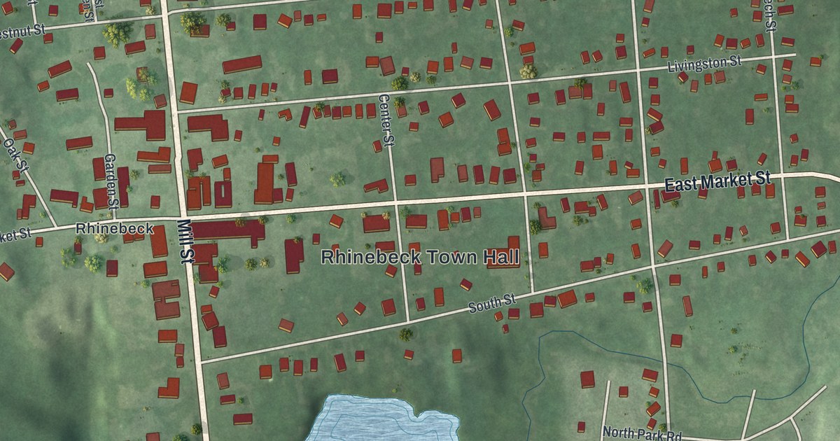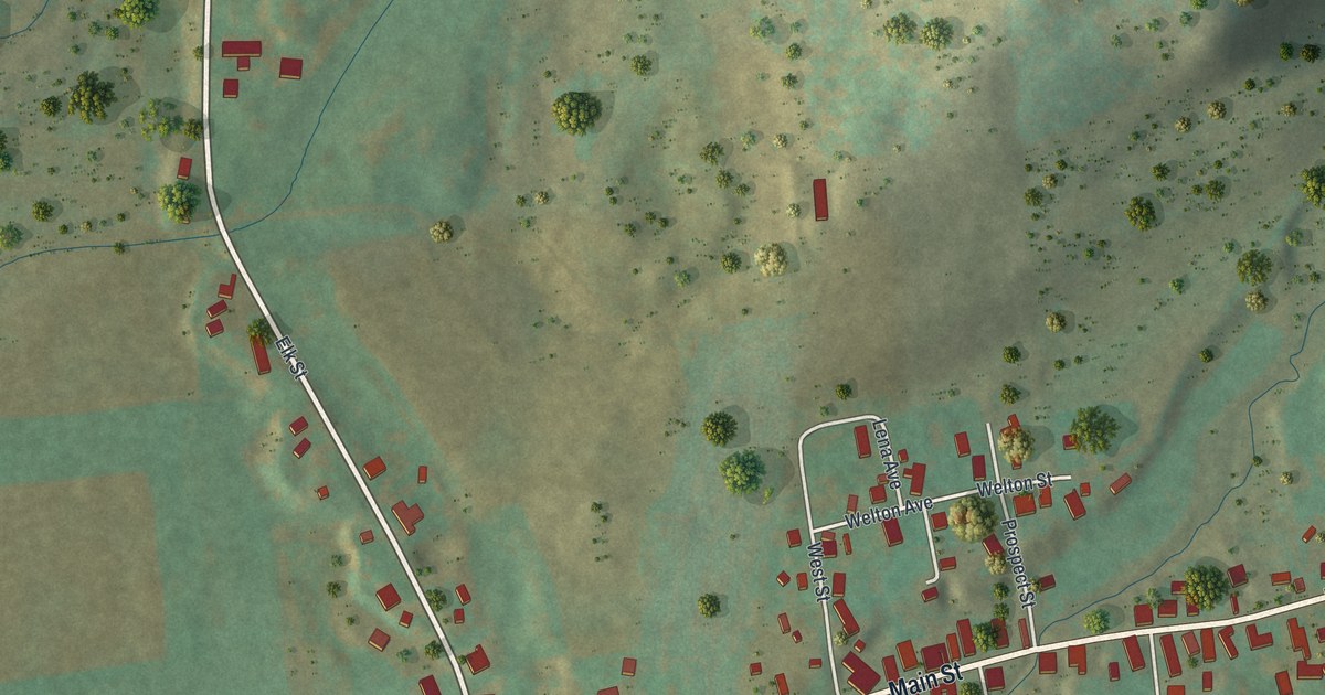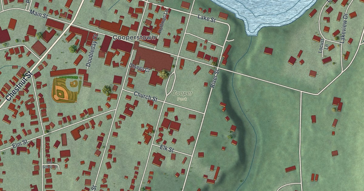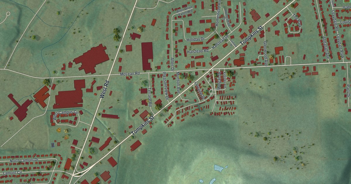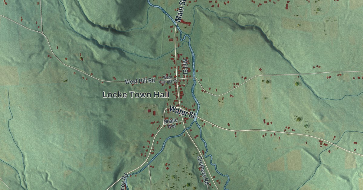
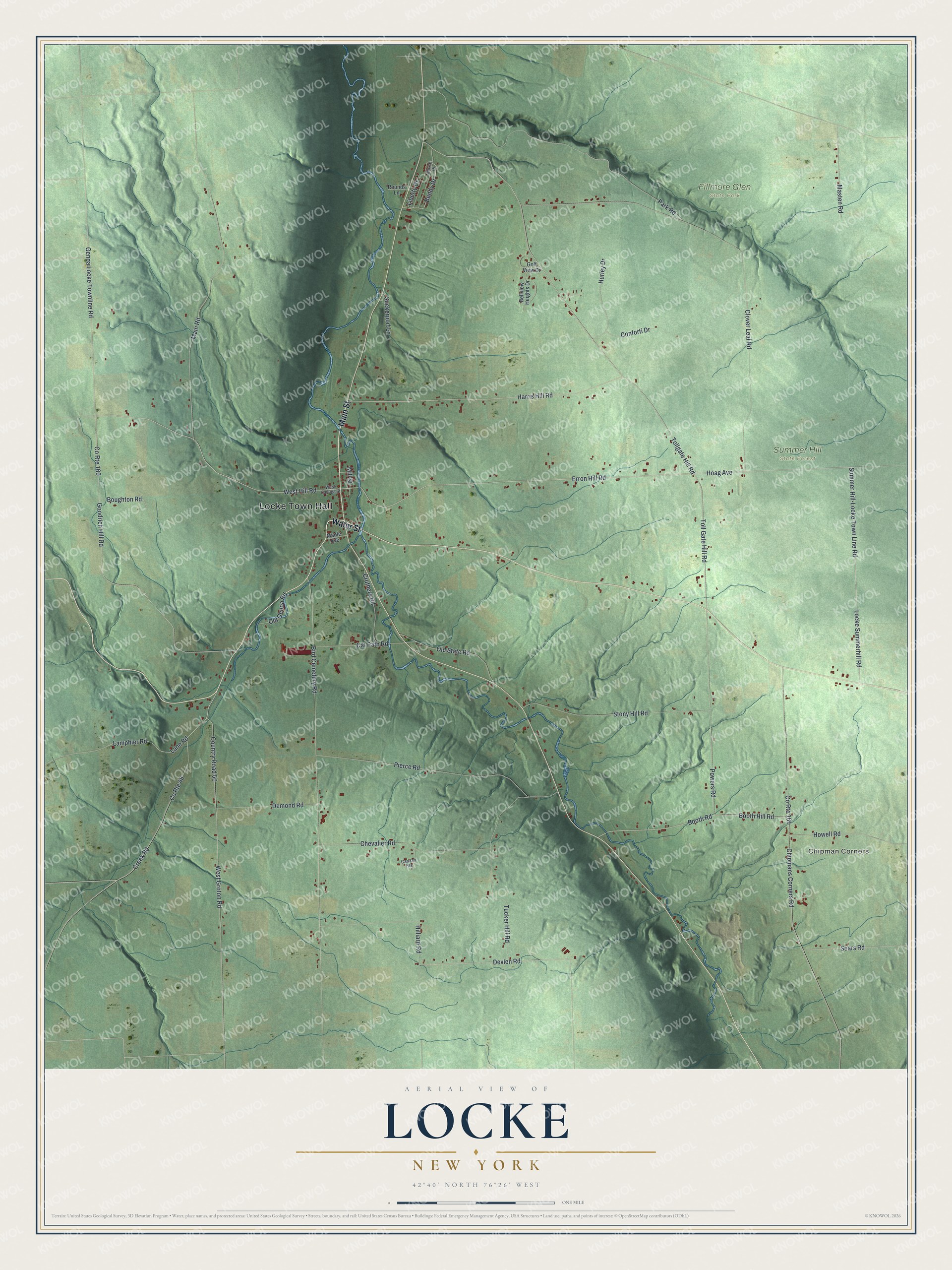
This beautifully detailed map of Locke, New York was created in 2026 using aerial imagery combined with modern topographical, census, street and landmark data. It’s a one-of-a-kind view of Locke that combines accurate data with a vintage aesthetic. The map shows every building in its true location, many of the roads carry their names, and the shaded topographic relief shows the shape of the land.
Explore an aerial view of Locke, New York
On the map you’ll find Locke Town Hall, Chipman Corners, Fillmore Glen State Park, and Summer Hill State Forest, along with Main Street, Water Street, Erron Hill Road, Hill Road, and more. If you look closely you can even find your house accurately drawn in its correct location. Zoom in on the preview to look for yours.
Did You Know?
Locke sat inside the Central New York Military Tract. Soldiers who fought in the American Revolution were paid with this land. Settlers arrived in 1790 and found old Native American burial grounds and ruined villages. The town split from Genoa in 1802 and took the name of English philosopher John Locke.
Take a closer look at the Locke map
Names on this map
These names are printed on this map.
Places: Locke Town Hall, Chipman Corners, Fillmore Glen State Park and Summer Hill State Forest.
Streets and roads: Main Street, Water Street, Erron Hill Road, West Hill Road, Locke Summerhill Road, Summer Hill-Locke Town Line Road, Genoa Locke Townline Road, Liberty Drive, Toll Gate Hill Road, Hoag Avenue, Tollgate Hill Road, Devlen Road.
More street names, A to Z
Bellview Heights Drive, Bird Cemetery Road, Booth Hill Road, Booth Road, Boughton Road, Buddy Drive, Canaan Heights, Cat Path Road, Chevalier Road, Chipmans Corners Road, Clover Leaf Road, Conforti Drive, Country Road 50, County Route 48, County Route 160, County Route 161, Creek Road, Cruthers Road, Demond Road, Golf View Drive, Goodrich Hill Road, Harris Hill Road, Hilliard Road, Howell Road, Hurley Drive, Lamphier Road, Lane Road, Main Road, Maple Avenue, Masten Road, Mill Street, Morse Drive, Old Genoa Road, Old State Road, Park Road, Pierce Road, Powers Road, Rounds Lane, Sears Road, Stony Hill Road, Suckerport Lane, Tucker Hill Road, West Cayuga Street, West Groton Road.
See it on a wall
The Locke map as a framed print. Swipe for more.


This beautifully detailed map of Locke makes an attractive addition to your office, library, or den, and it can even be used to teach children the geography and history of the area. It also makes a great gift for anyone with Locke roots. When you’re done exploring, click here to get your copy of the Locke map.