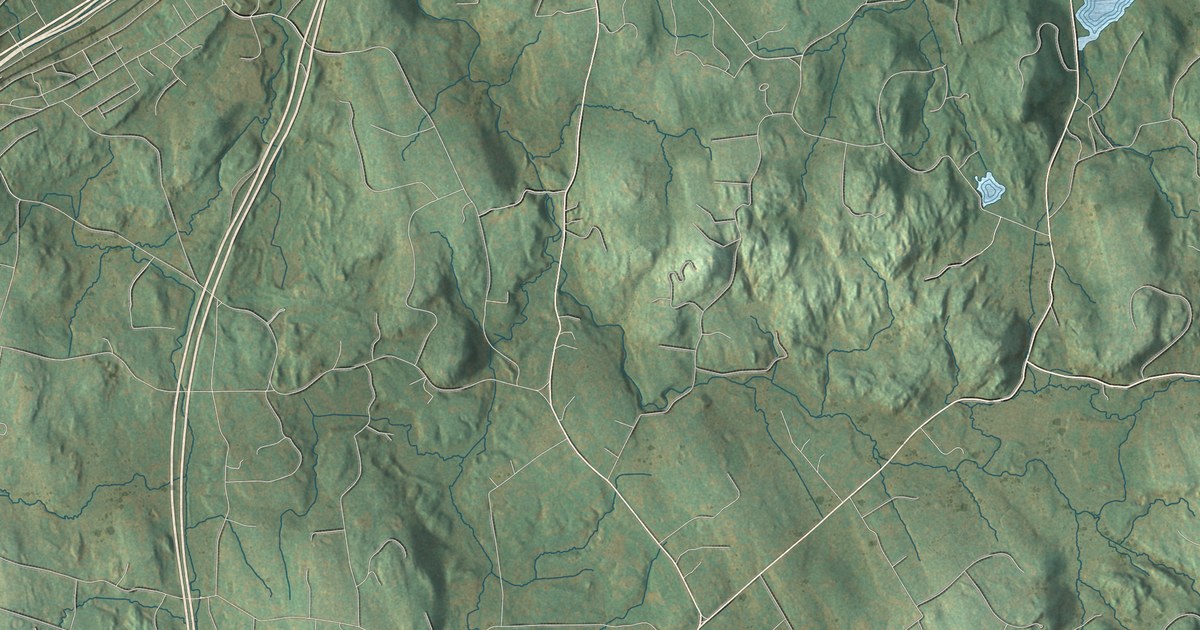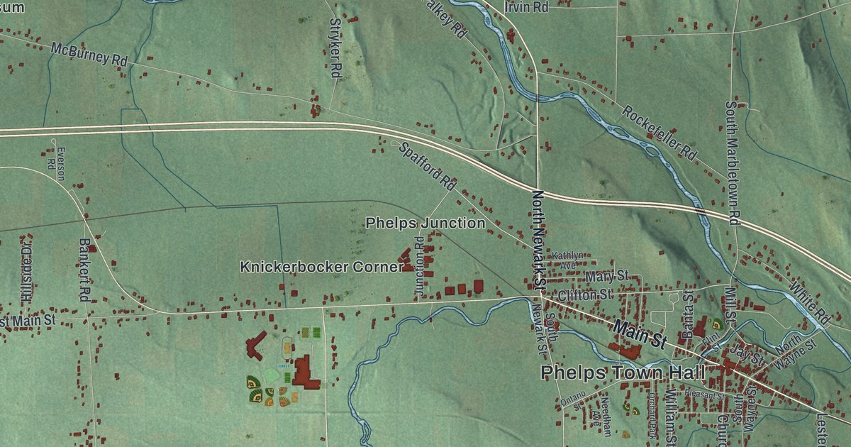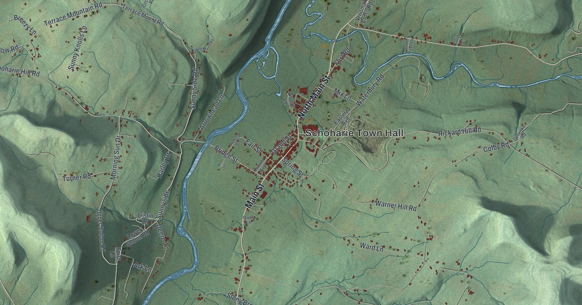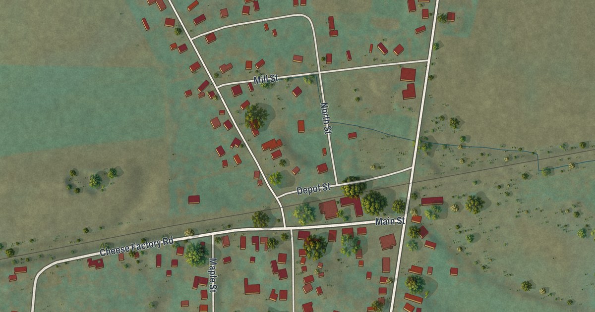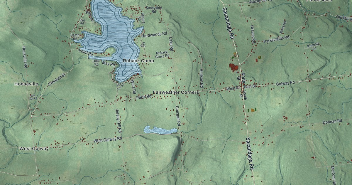
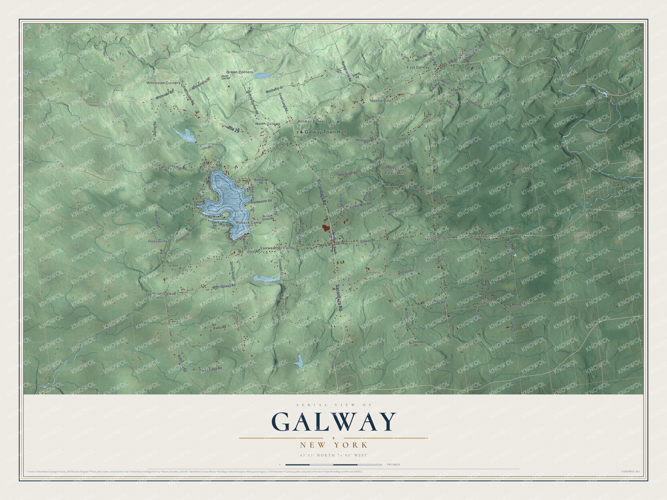
This beautifully detailed map of Galway, New York was created in 2026 using aerial imagery combined with modern topographical, census, street and landmark data. It’s a one-of-a-kind view of Galway that combines accurate data with a vintage aesthetic. The map shows every building in its true location, many of the roads carry their names, and the shaded topographic relief shows the shape of the land.
Explore an aerial view of Galway, New York
On the map you’ll find Galway Town Hall, Whiteside Corners, Birchton, East Galway, Fairweather Corners, and Green Corners, along with Sacandaga Road, North Street, South Street, Perth Road, and more. If you look closely you can even find your house accurately drawn in its correct location. Zoom in on the preview to look for yours.
Did You Know?
Settlers first arrived here in October 1774. In 1792 the town broke off from Ballston under the name New Galloway, after Galloway in Scotland. A clerk wrote the name down wrong as Galway when the town was incorporated. The mistake stuck, though locals do not say it like the Irish city.
Take a closer look at the Galway map
Names on this map
These names are printed on this map.
Places: Galway Town Hall, Whiteside Corners, Birchton, East Galway, Fairweather Corners, Green Corners, Hoeseville, Kimball Corners, Mosherville, North Galway, Parkis Mills, Ruback Camp, South Galway Corner, West Corners and West Galway.
Streets and roads: Sacandaga Road, Route 29, Perth Road, Galway Road, West Street, East Street, Crooked Street, Hoesville Road, Fish House Road, May Road, Shaw Road, Point Road.
More street names, A to Z
Alexander Road, Antioch Road, Armer Road, Baptist Hill Road, Barkersville Road, Bell Road, Benzal Road, Bills Road, Birchton Road, Bliss Road, Camp Road, Consaul Road, Crane Road, Creek Road, Cruthers Road, Dam Road, Dean Lung Road, Donnan Road, East Fork Road, Erle Street, Faber Road, Graves Road, Greens Corner Road, Hardwoods Road, Hart Road, Harts Road, Hermance Road, Hudson Road, Jersey Hill Road, Jockey Street, Kania Road, Kimbals Lane, Lake Road, Mack Road, Maple Avenue, McConchie Road, Mechanic Street, Middle Grove Road, Northline Road, North Road, North Street, Old Mill Road, Parkis Mills Road, Peaceable Street, Ridge Road, Rocky Ridge Road, Ruback Grove Road, Sahara Road, Saw Mill Road, Silcox Road, South Line Road, South Street, Spring Road, Stanton Road, Sunnyside Road, Weis Road, Welch Road, West Galway Road, West Line Road, Whiteside Road, Whitesides Road.
See it on a wall
The Galway map as a framed print. Swipe for more.


This beautifully detailed map of Galway makes an attractive addition to your office, library, or den, and it can even be used to teach children the geography and history of the area. It also makes a great gift for someone who left Galway and still calls it home. When you’re done exploring, click here to get your copy of the Galway map.