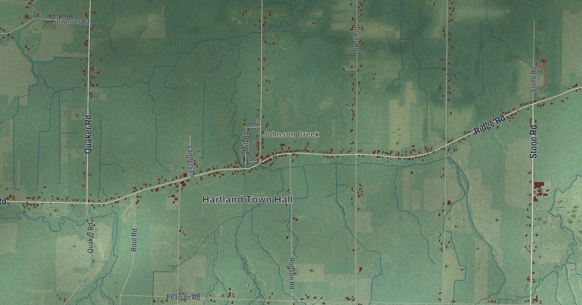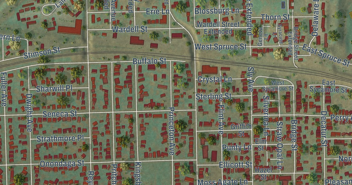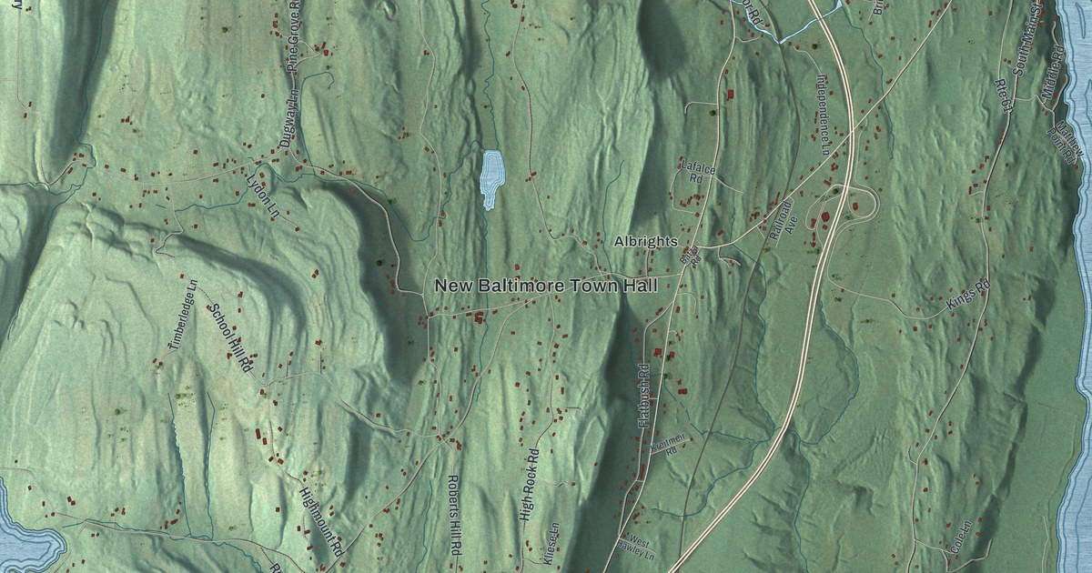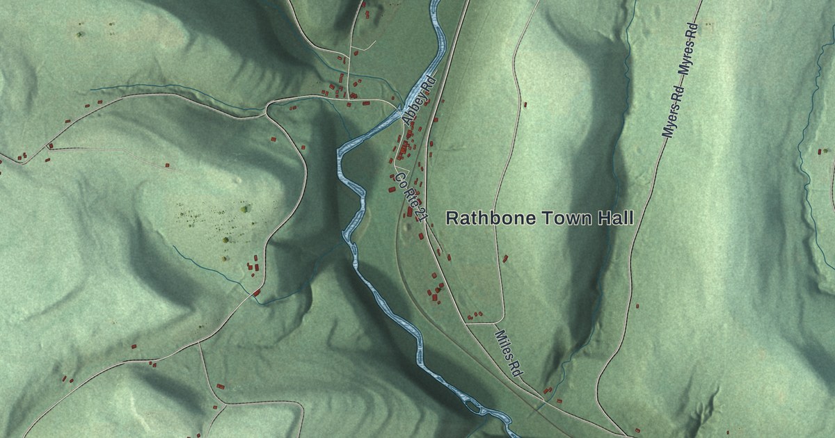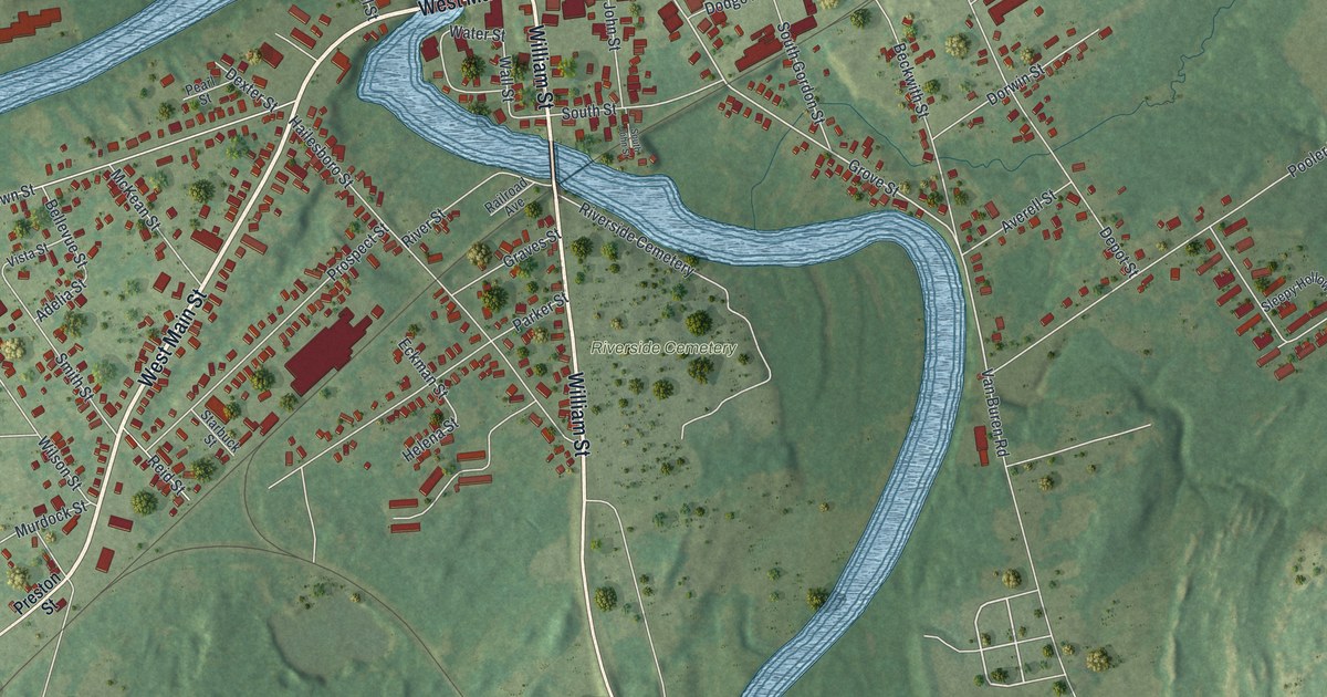
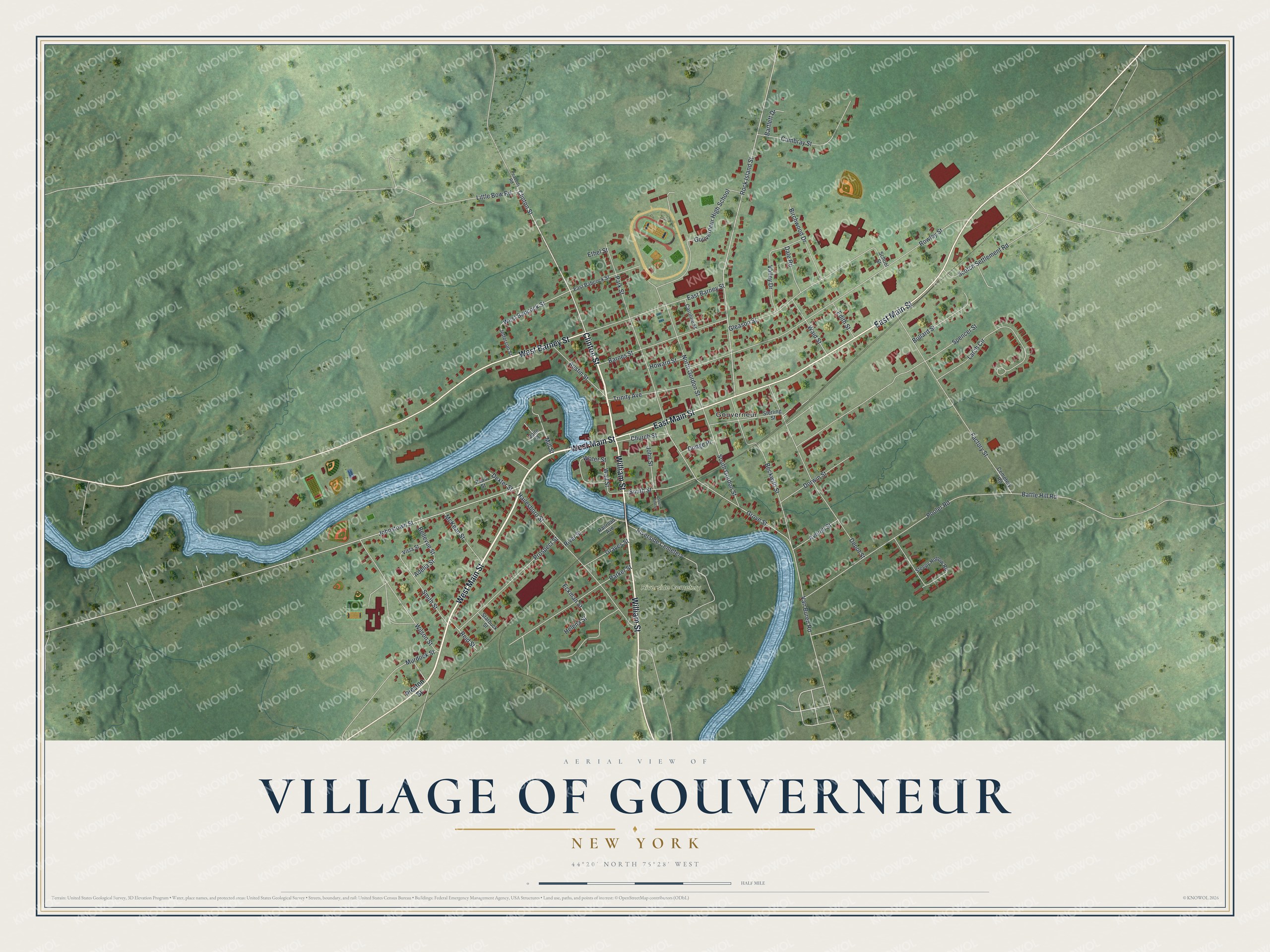
This beautifully detailed map of the Village of Gouverneur, New York was created in 2026 using aerial imagery combined with modern topographical, census, street and landmark data. It’s a one-of-a-kind view of the Village of Gouverneur that combines accurate data with a vintage aesthetic. The map shows every building in its true location, many of the roads carry their names, and the shaded topographic relief shows the shape of the land.
Explore an aerial view of the Village of Gouverneur, New York
On the map you’ll find Riverside Cemetery, along with Main Street, Clinton Street, William Street, Barney Street, Preston Street, and more. If you look closely you can even find your house accurately drawn in its correct location. Zoom in on the preview to look for yours.
Did You Know?
Gouverneur takes its name from Gouverneur Morris, who helped write the United States Constitution. Morris owned land in northern New York and kept a summer home in the town. Quarrying local marble was one of the first big industries, so the community is known as the Marble Village.
Take a closer look at the Village of Gouverneur map
Names on this map
These names are printed on this map.
Places: Riverside Cemetery and Gouverneur.
Streets and roads: West Main Street, Clinton Street, William Street, East Main Street, West Barney Street, Grove Street, West Babcock Street, Rowley Street, Rock Island Street, Pooler Road, Johnstown Street, Spencer Street.
More street names, A to Z
Adelia Street, Austin Street, Averell Street, Barnes Street, Bartlett Drive, Battle Hill Road, Beckwith Street, Bellevue Street, Birchwood Drive, Bullard Street, Cambray Street, Caroline Street, Cemetery Road, Church Street, Dale Road, Depot Street, Dexter Street, Dodge Place, Dorwin Street, East Babcock Street, East Barney Street, Eckman Street, Edith Street, Ethel Street, Factory Street, Gleason Street, Gouverneur High School, Graves Street, Hailesboro Street, Helena Street, Howard Street, Jefferson Street, John Street, Larch Circle, Little Bow Road, McKean Street, Mill Street, Murdock Street, North Gordon Street, Parker Street, Park Street, Peabody Road, Pearl Street, Preston Street, Prospect Street, Railroad Avenue, Reid Street, River Street, School Street, Scotch Settlement Road, Sleepy Hollow Road, Smith Street, South Gordon Street, South John Street, South Street, Starbuck Street, Sterling Street, Trinity Avenue, Vaile Street, Valley Drive, Van Buren Road, Vista Street, Waid Street, Wall Street, Water Street, Wilson Street.
See it on a wall
The Gouverneur map as a framed print. Swipe for more.


This beautifully detailed map of the Village of Gouverneur makes an attractive addition to your office, library, or den, and it can even be used to teach children the geography and history of the area. It also makes a great gift for someone who left the Village of Gouverneur and still calls it home. When you’re done exploring, click here to get your copy of the Village of Gouverneur map.