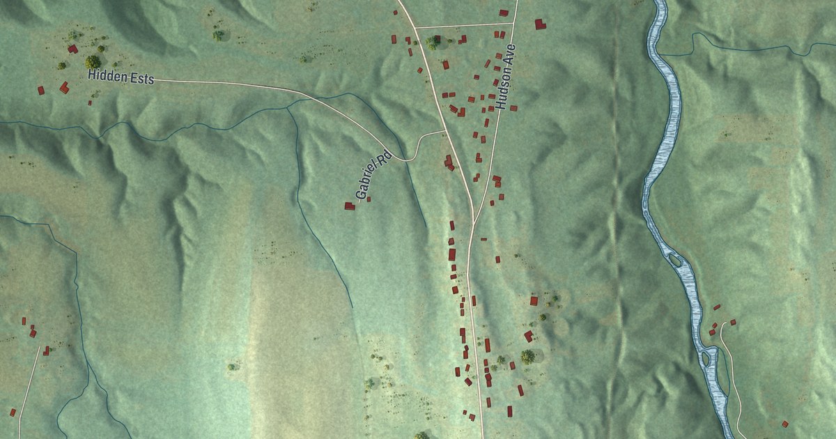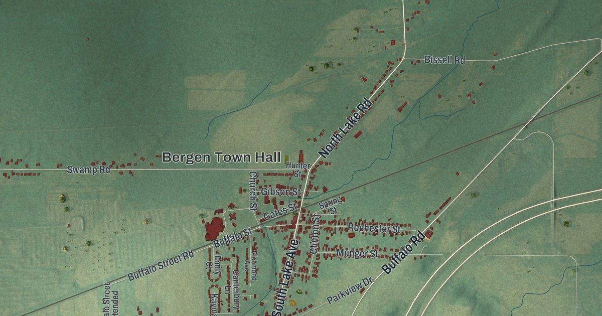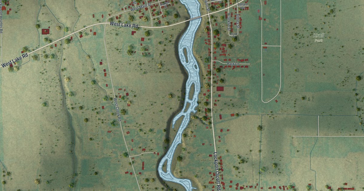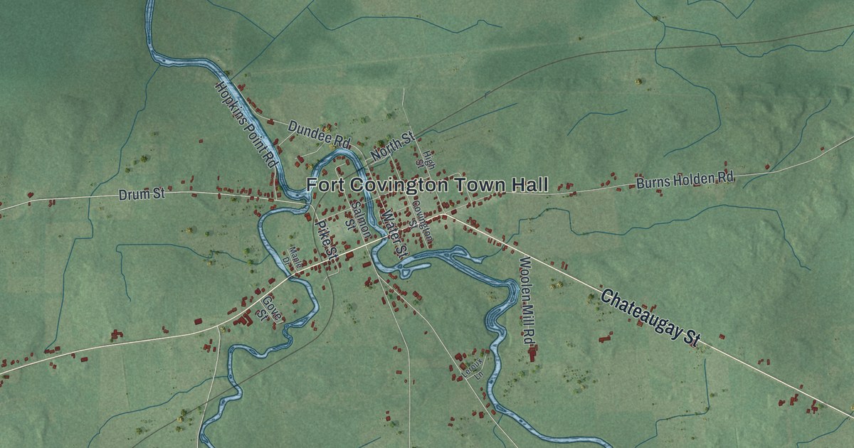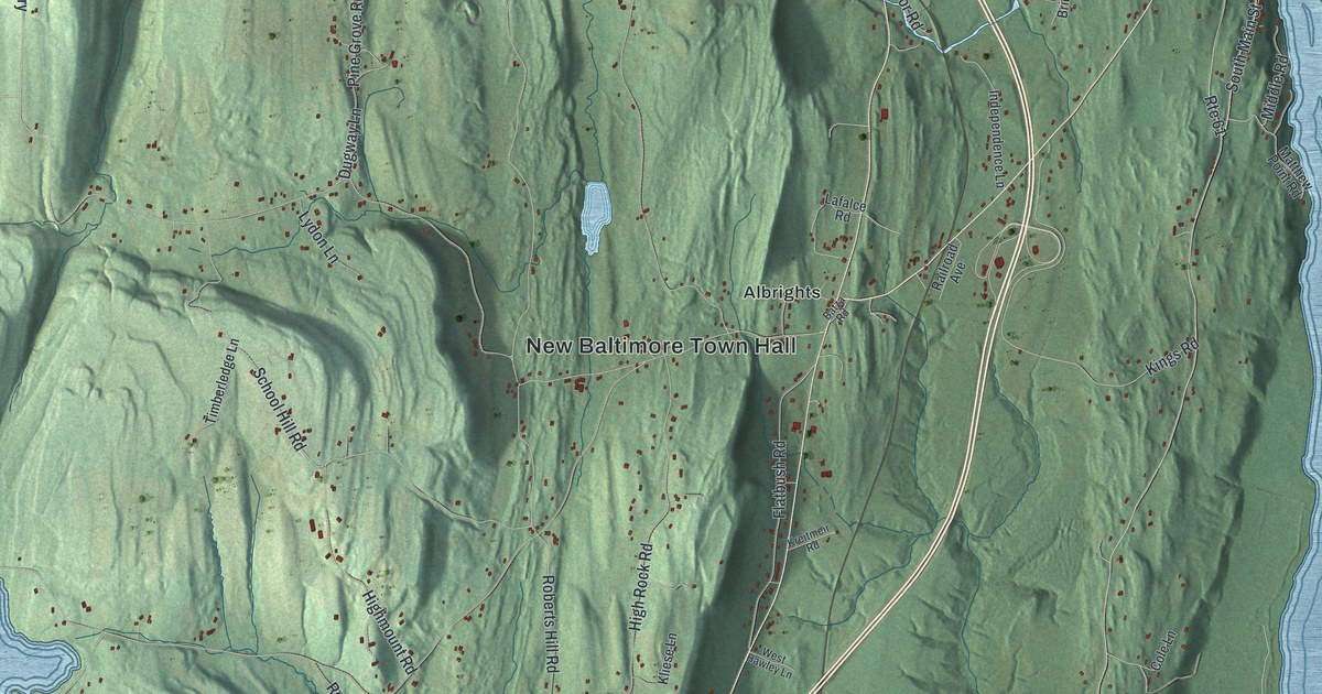
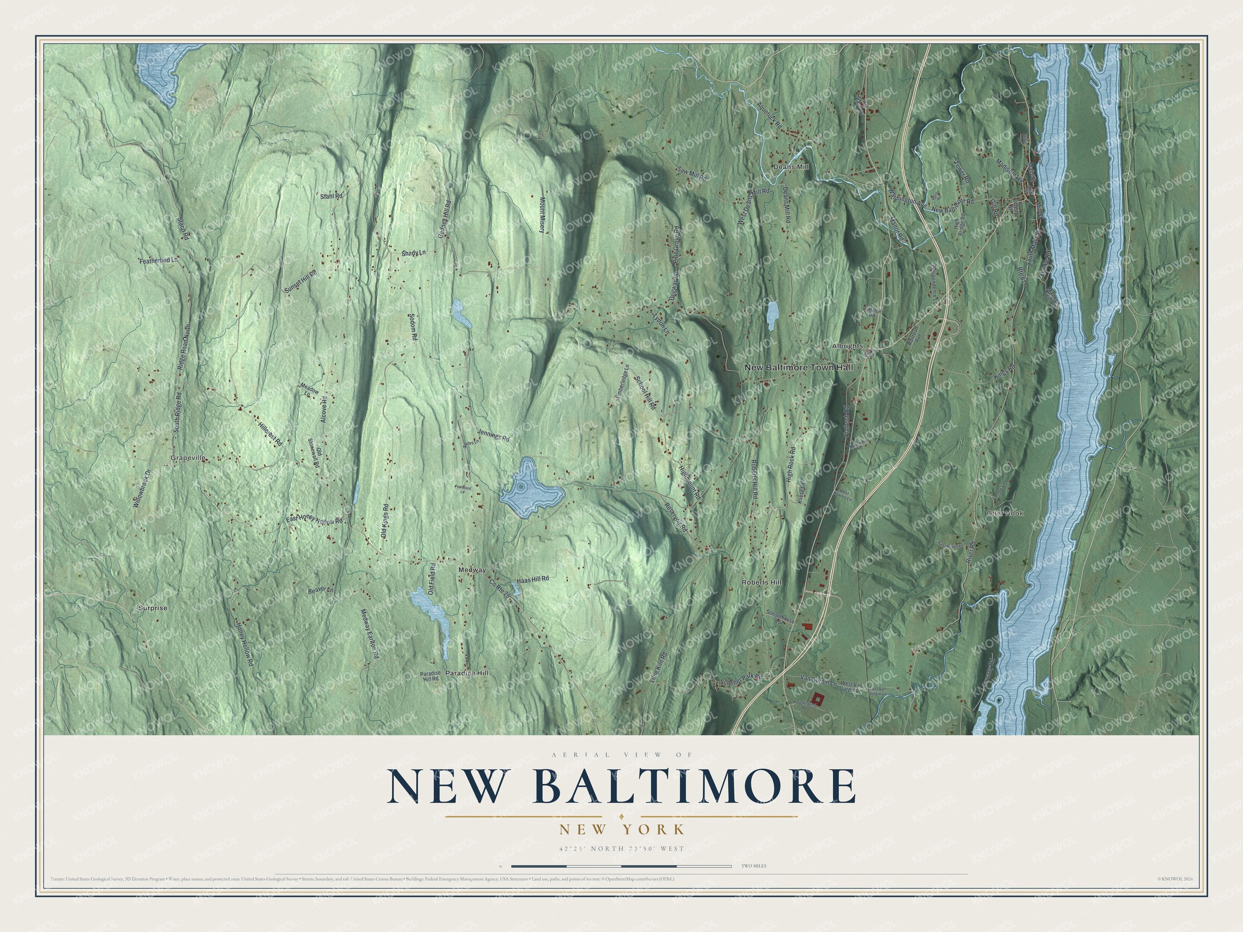
This beautifully detailed map of New Baltimore, New York was created in 2026 using aerial imagery combined with modern topographical, census, street and landmark data. It’s a one-of-a-kind view of New Baltimore that combines accurate data with a vintage aesthetic. The map shows every building in its true location, many of the roads carry their names, and the shaded topographic relief shows the shape of the land.
Explore an aerial view of New Baltimore, New York
On the map you’ll find New Baltimore Town Hall, Grapeville, Otter Hook, Albrights, Deans Mill, and Medway, along with River Road, New Baltimore Road, Main Street, Washington Avenue, and more. If you look closely you can even find your house accurately drawn in its correct location. Zoom in on the preview to look for yours.
Did You Know?
By 1800, Paul Sherman was building schooners in the New Baltimore shipyard. When the Erie Canal created a demand for barges, the yards rang with hammer and saw. After the river steamboat monopoly was broken, the yard launched a steamer. Later it built smaller boats and served as a drydock for repairs and winter storage. That’s from the 1940 WPA guide to New York.
Take a closer look at the New Baltimore map
Names on this map
These names are printed on this map.
Places: New Baltimore Town Hall, Grapeville, Otter Hook, Albrights, Deans Mill, Medway, Paradise Hill, Roberts Hill and Surprise.
Streets and roads: River Road, New Baltimore Road, South Main Street, Washington Avenue, School Hill Road, Mount Misery, Main Street, County Route 26, Staco Road, Roberts Hill Road, Alcove Road, Deans Mill Road.
More street names, A to Z
Aquetuck Road, Batza Road, Beaver Lane, Cedar Lane, Cole Lane, Dugway Lane, East Hawley Lane, East Honey Hollow Road, East Van Gurpin Lane, Featherbed Lane, Fernwood Lane, Flatbush Road, Gedney Hill Road, Gill Road, Haas Hill Road, High Bridge Road, Highmount Road, High Rock Road, Hillcrest Road, Honey Hollow Road, Houghtaling Road, Independence Lane, Jennings Road, Kings Road, Kliese Lane, Kreitmeir Road, Lafalce Road, Liberty Street, Lime Kiln Road, Lydon Lane, Madison Avenue, Manor Road, Matthew Point Road, Meadow Lane, Medway Earlton Road, Middle Road, Mill Street, New Street, Old Field Road, Old Kings Road, Old State Road, Old Stonewall Road, Paradise Hill Road, Pine Grove Road, Railroad Avenue, Reservoir Road, Ridge Road North, Route 61, Sarles Lane, Saw Mill Road, Scheller Park Road, Schoolhouse Lane, Shady Lane, Sodom Road, South Ridge Road, Stahl Road, Sunset Hill Road, Swezey Road, Timberledge Lane, Tower Road, Van Gurpin Lane, West Deans Mill Road, West Hawley Lane, West Van Gurpin Lane, Willowbrook Drive, Wyche Road.
See it on a wall
The New Baltimore map as a framed print. Swipe for more.


This beautifully detailed map of New Baltimore makes an attractive addition to your office, library, or den, and it can even be used to teach children the geography and history of the area. It also makes a great gift for anyone with New Baltimore roots. When you’re done exploring, click here to get your copy of the New Baltimore map.