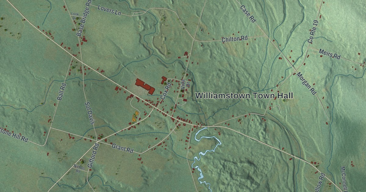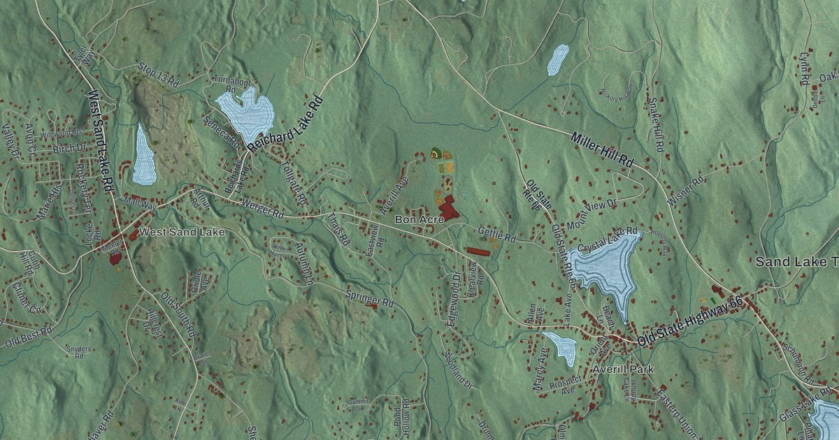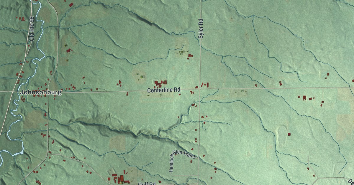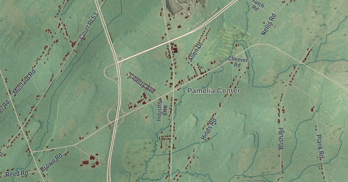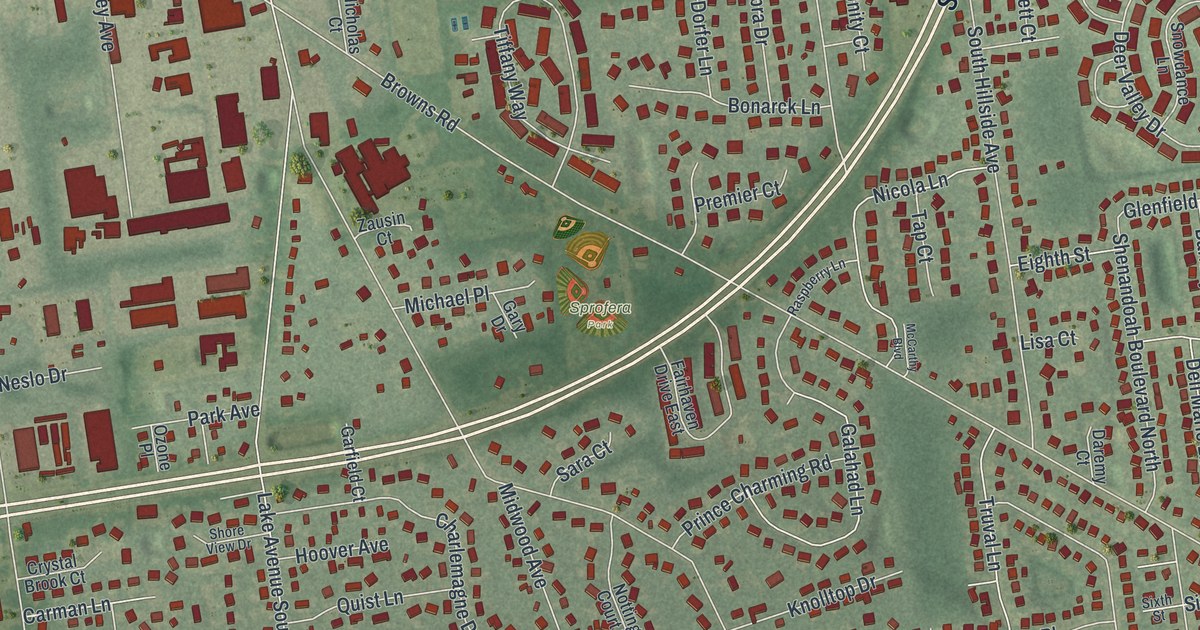
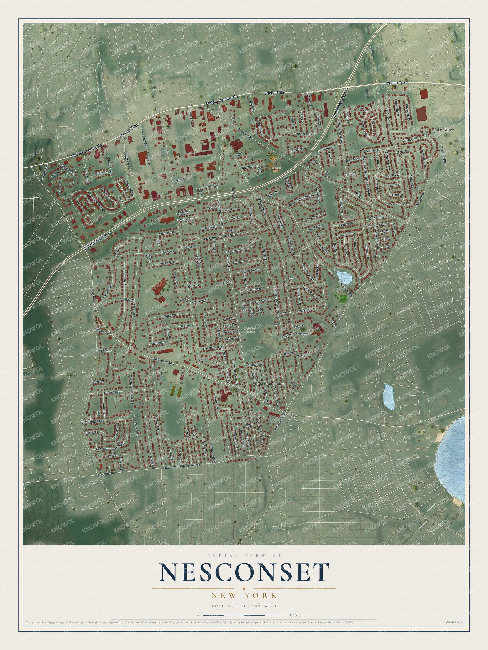
This beautifully detailed map of Nesconset, New York was created in 2026 using aerial imagery combined with modern topographical, census, street and landmark data. It’s a one-of-a-kind view of Nesconset that combines accurate data with a vintage aesthetic. The map shows every building in its true location, many of the roads carry their names, and the shaded topographic relief shows the shape of the land.
Explore an aerial view of Nesconset, New York
On the map you’ll find East Hauppauge, Lake Grove, and Sprofera Park, along with Jericho Turnpike, Smithtown Bypass, Middle Country Road, Smithtown Boulevard, Chivalry Lane, and more. If you look closely you can even find your house accurately drawn in its correct location. Zoom in on the preview to look for yours.
Did You Know?
Louis and Clemen Vion were French immigrant brothers who came out from Manhattan to hunt in the Pine Barrens starting in 1904. By 1910 they had cut Midwood Avenue through the trees and built a home that still stands. They named the settlement for Sachem Nassaconsett, who deeded the Nissequogue land to Richard Smith.
Take a closer look at the Nesconset map
Names on this map
These names are printed on this map.
Places: East Hauppauge, Wilson's Woods, Sprofera Park and Lake Grove.
Streets and roads: Jericho Turnpike, Smithtown Bypass, Middle Country Road, Smithtown Boulevard, Chivalry Lane, Avalon Circle, Glenfield Lane, Lake Avenue South, Southern Boulevard, Nichols Road, Terry Road, Lake Avenue.
More street names, A to Z
2 Street, Adams Court, Addie Lane, Alexander Avenue, Annetta Avenue, Atlas Place, Avery Court, Barkley Lane, Barrett Court, Beau Jol Court, Belinda Court, Bella Court, Bobann Drive, Bonarck Lane, Bond Lane, Bonny Court, Brae Mar Street, Bri Court, Broadley Avenue, Brooks Avenue, Brookstan Road, Browns Road, Burgundy Lane, Cambon Place, Canterbury Lane, Carman Lane, Carr Court, Castle Court, Chapman Road, Charlemagne Drive, Chelsea Drive, Chester Street, Cleveland Place, Clubhouse Lane, Cobblestone Road, Commander Lane, Coolidge Place, Coventry Lane, Cross Street, Crusader Lane, Crystal Brook Court, Crystal Court, Cypress Court, Daremy Court, Darra Court, Debra Drive, Deer Valley Drive, Dell Marie Lane, Dellmarie Lane, Denise Court, Diane Court, Diane Court South, Donnatella Lane, Dorfer Lane, Dorothy, Dorothy Street, Dover Hill Drive, Doyle Street, Edith Lane, Eighth Street, Ellen Drive, Evlynne Street, Excalibur Lane, Fairhaven Drive East, Fairview Street, Fifth Street, First Street, Florence Street, Format Lane, Francis Court, Francis Street, Friendly Road, Gaigal Drive, Galahad Lane, Garfield Court, Gary Drive, Gaynor Avenue, Gemini Lane, Gibbs Pond Road, Gilbert Avenue, Gina Court, Grace Court, Graham Place, Grant Avenue, Guinevere Lane, Harding Court, Harding Street, Hayes Street, Hearthstone Lane, Helen Court, Heritage Place, Heritage Place South, Highway Place, Hillcrest Drive, Hoover Avenue, Hunter Lane, Jackson Street, Jamor Court, Janet Court, Jayne Court, John Jones Lane, Joseph Place, Kensington Drive, Kental Lane, Knollcrest Road, Knolltop Drive, Lancaster Avenue, Laura Court, Lawrence Drive, Leary Lane, Lincoln Avenue, Lisa Court, Lloyd Lane, Locksly Lane, Locust Drive, Lori Drive, Louise Court, Louis Place, Maggie Court, Maiden Lane, Maple Glen Lane, Marion Street, Mayfair Court, Mayfair Road, McCarthy Boulevard, Meadow Court, Meryl Lane, Michael Place, Midwood Avenue, Mildred Court, Moriches Road, Nancy Lane, Nesconset Avenue, Neslo Drive, Nicholas Court, Nicola Lane, Nottingham Court, Nottingham Court North, Oak Run Drive, Old Nichols Road, Ozone Place, Paddington Circle, Park Avenue, Pierson Street, Pine Drive, Pinewood Court, Premier Court, Prince Charming Road, Prospect Avenue, Quenzer Street, Quincy Lane, Quist Lane, Raphael Boulevard, Raspberry Lane, Raynier Place, Regency Court, Rhoda Avenue, Robinhood Court, Roosevelt Avenue, Roy Drive, Saggese Lane, Salvatore Court, Samuel Street, Sara Court, Scarborough Drive, Seagram Avenue, Seagram Road, Sheffield Court, Shenandoah Boulevard, Shenandoah Boulevard North, Sheppard Lane, Shore View Drive, Sixth Street, Smithtown Islip Townline Road, Snowdance Lane, South Court, South Hillside Avenue, Standish Place, Suburban Lane, Summit Drive, Sun Hill Road, Sycamore Drive, Tap Court, Third Street, Tiffany Way, Town Commons Drive, Townline Road, Tree Top Path, Truval Lane, Unity Court, Valiant Court, Van Buren Court, Washington Avenue, Webster Place, Westminster Court, White Cliff Lane, Wiigs Road, Wilson Avenue, Windwood Drive, Wysocki Court, Yardley Lane, Yarmouth Lane, Zausin Court.
See it on a wall
The Nesconset map as a framed print. Swipe for more.


This beautifully detailed map of Nesconset makes an attractive addition to your office, library, or den, and it can even be used to teach children the geography and history of the area. It also makes a great gift for anyone who grew up in Nesconset or moved away. When you’re done exploring, click here to get your copy of the Nesconset map.