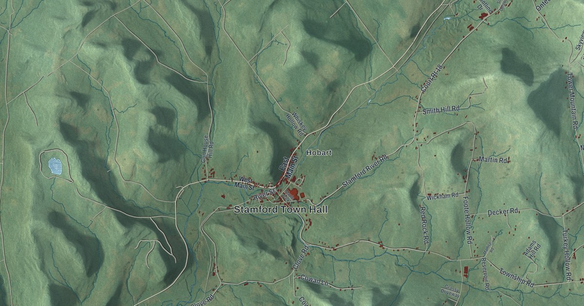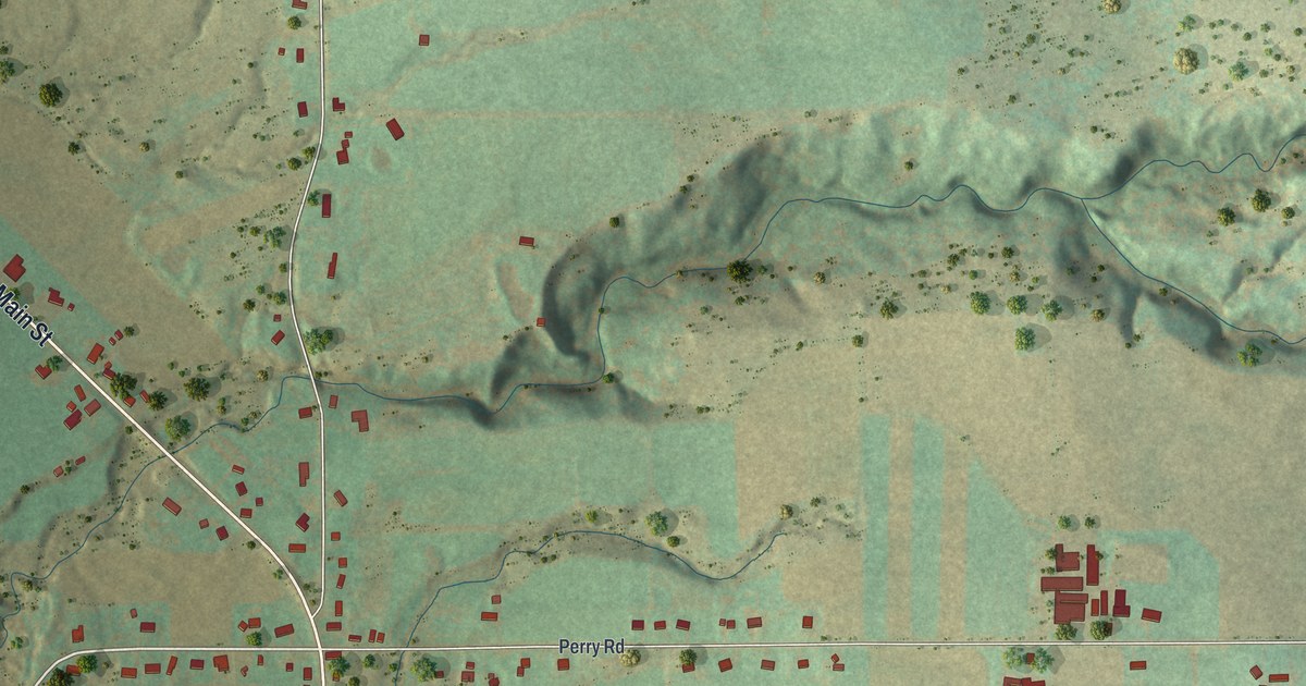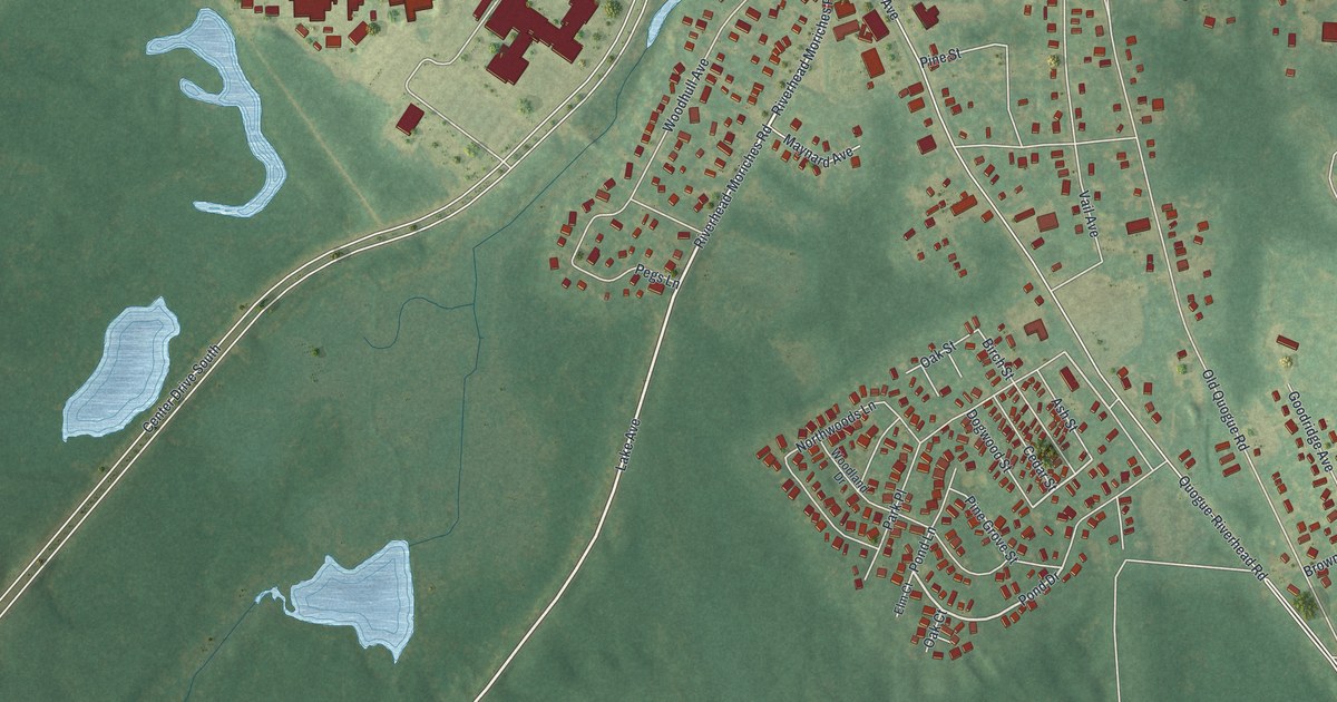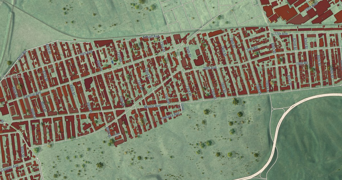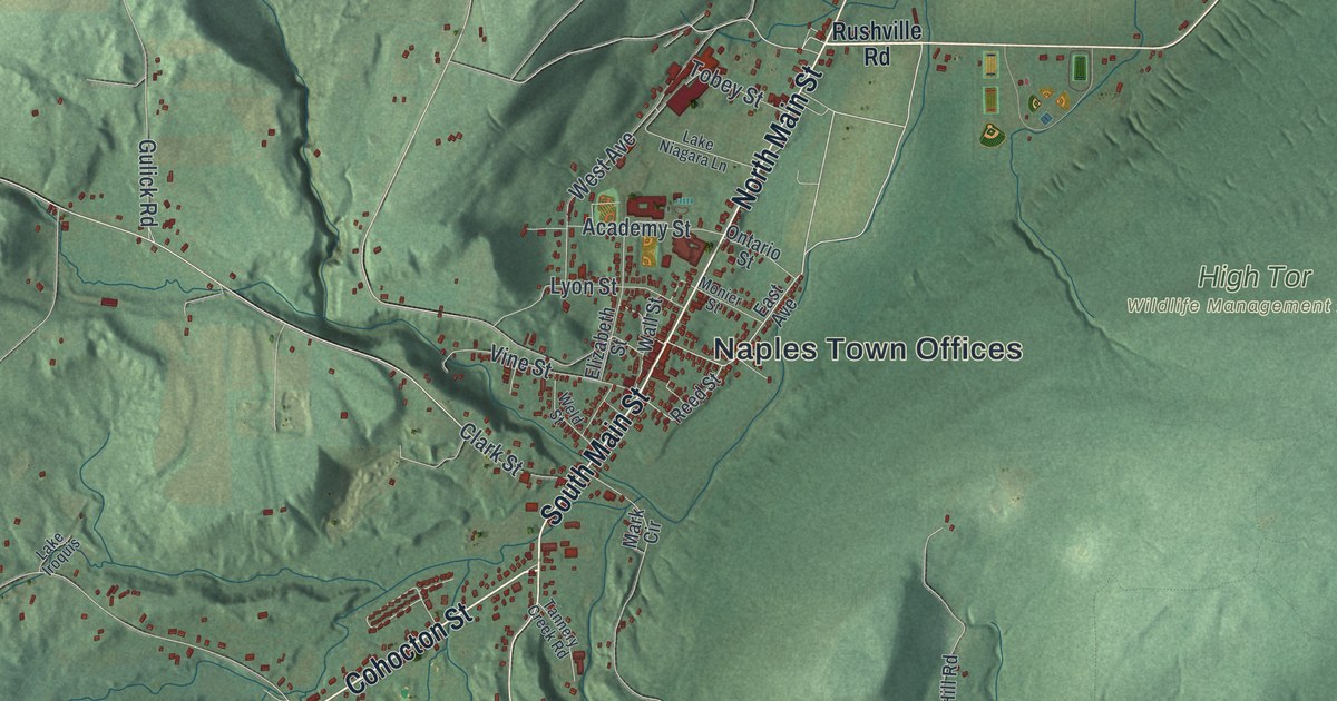
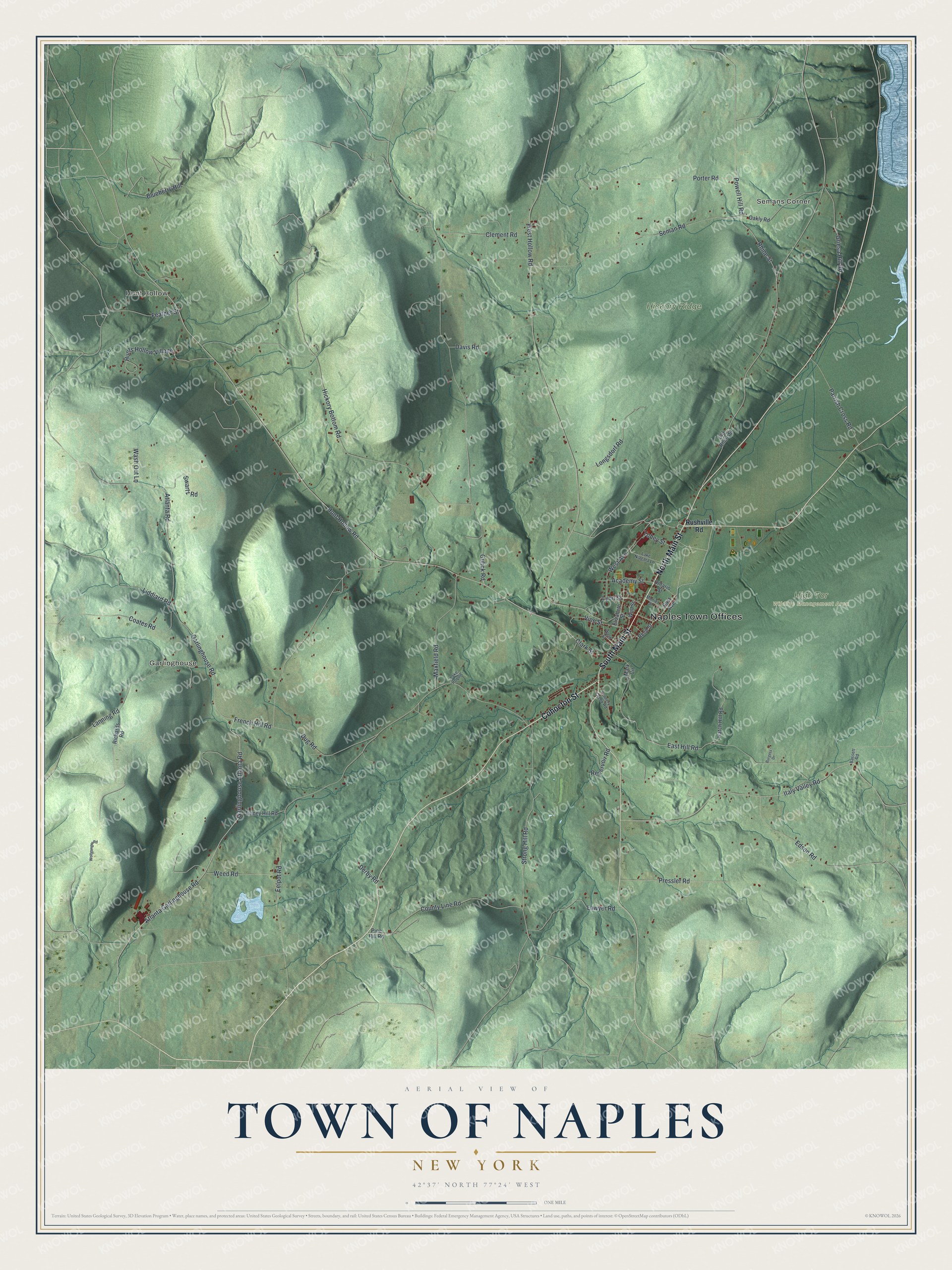
This beautifully detailed map of the Town of Naples, New York was created in 2026 using aerial imagery combined with modern topographical, census, street and landmark data. It’s a one-of-a-kind view of the Town of Naples that combines accurate data with a vintage aesthetic. The map shows every building in its true location, many of the roads carry their names, and the shaded topographic relief shows the shape of the land.
Explore an aerial view of the Town of Naples, New York
On the map you’ll find Naples Town Offices, Semans Corner, Hunt Hollow, Garlinghouse, and High Tor Wildlife Management Area, along with Cohocton Street, Main Street, Rushville Road, Garlinghouse Atlanta Road, and more. If you look closely you can even find your house accurately drawn in its correct location. Zoom in on the preview to look for yours.
Did You Know?
Two Revolutionary War veterans, Captains Nathan and William Watkins, were among the early settlers. The town was first called Watkinstown in their honor. In 1796 the name changed to Middletown. In 1808 the town finally became Naples. Some old houses still hold hiding spots from the Underground Railroad.
Take a closer look at the Town of Naples map
Names on this map
These names are printed on this map.
Places: Naples Town Offices, Semans Corner, Hunt Hollow, Garlinghouse, Hickory Ridge and High Tor Wildlife Management Area.
Streets and roads: Cohocton Street, North Main Street, South Main Street, Garlinghouse Atlanta Road, County Line Road, Hunt Hollow Road, Atlanta Garlinghouse Road, Powell Hill Road, Rhine Street, Garlinghouse Road, Eelpot Road, West Hollow Road.
More street names, A to Z
Academy Street, Atlanta Road, Bassett Road, Blueberry Hill, Burgess Drive, Clark Street, Clement Road, Coates Road, Davis Road, Derby Road, Dug Road, East Avenue, East Hill Road, Edson Road, Elizabeth Street, Feather Street, French Hill Road, Griesa Hill Road, Gulick Road, Hatch Hill Road, Hickory Bottom Road, Hunts Hollow Village, Italy Valley Road, Lake Iroquis, Lake Niagara Lane, Lanning Road, Lawyer Road, Liddiard Road, Longsdorf Road, Lyon Street, Mark Circle, Maxfield Road, Monier Street, Oakly Road, Old Rhine Street, Ontario Street, Parrish Cross Road, Pine Hill Road, Porter Road, Pressler Road, Reed Street, Reservoir Road, Richards Road, Rushville Road, Seman Road, Strong Hill Road, Swartz Road, Tannery Creek Road, Tinney Hill Road, Tobey Street, Vine Street, Wall Street, Wash Out Lane, Weed Road, Weld Street, West Avenue, Wolfganger Road.
See it on a wall
The Naples map as a framed print. Swipe for more.


This beautifully detailed map of the Town of Naples makes an attractive addition to your office, library, or den, and it can even be used to teach children the geography and history of the area. It also makes a great gift for anyone who grew up in the Town of Naples or moved away. When you’re done exploring, click here to get your copy of the Town of Naples map.