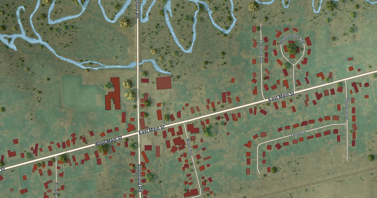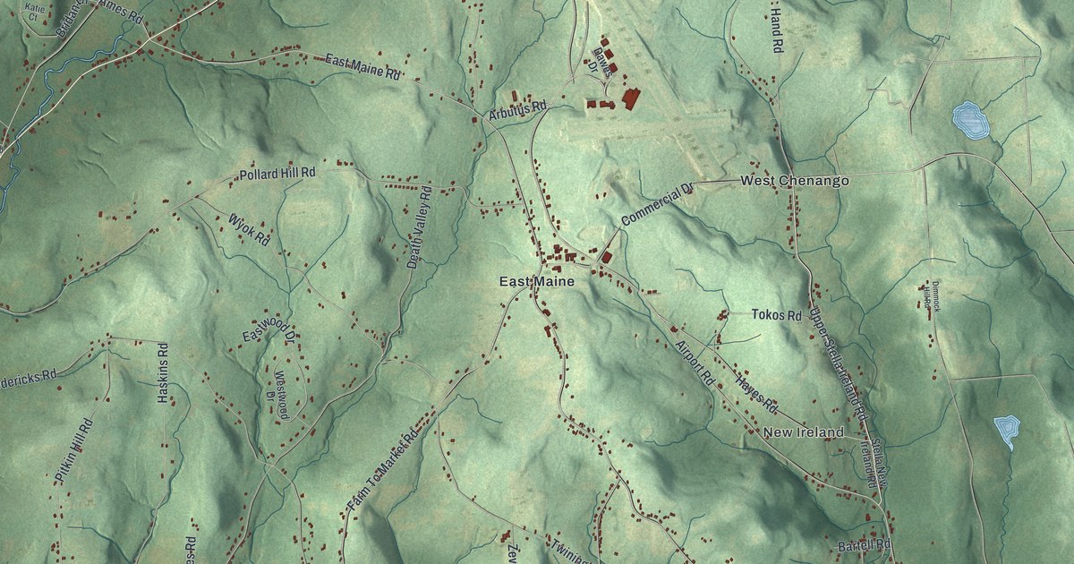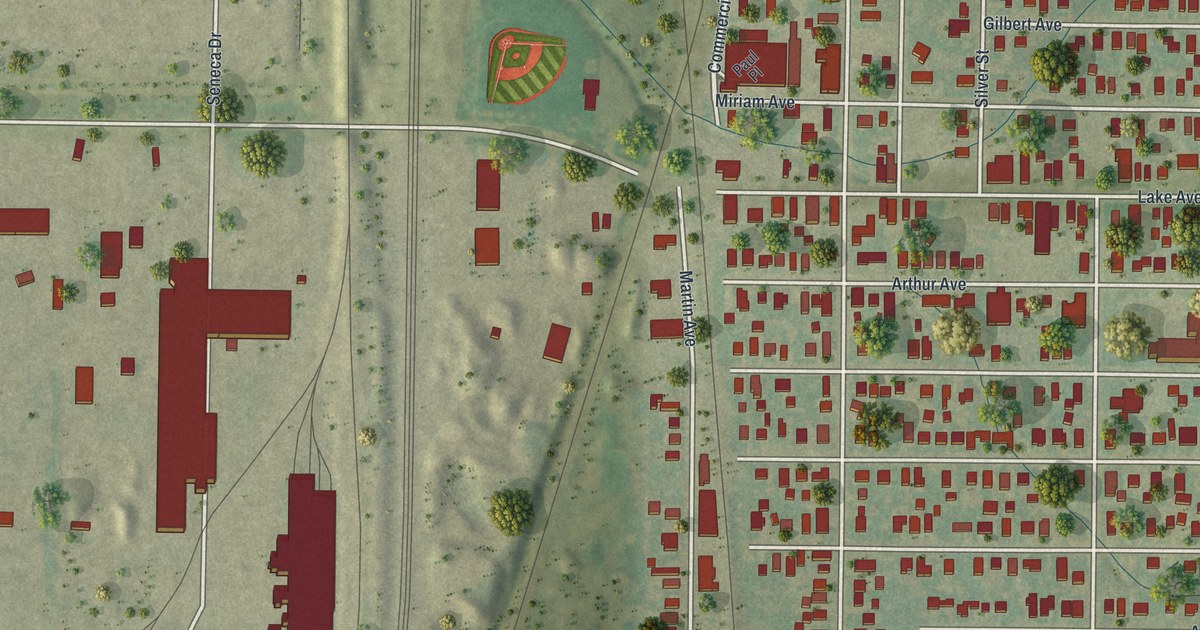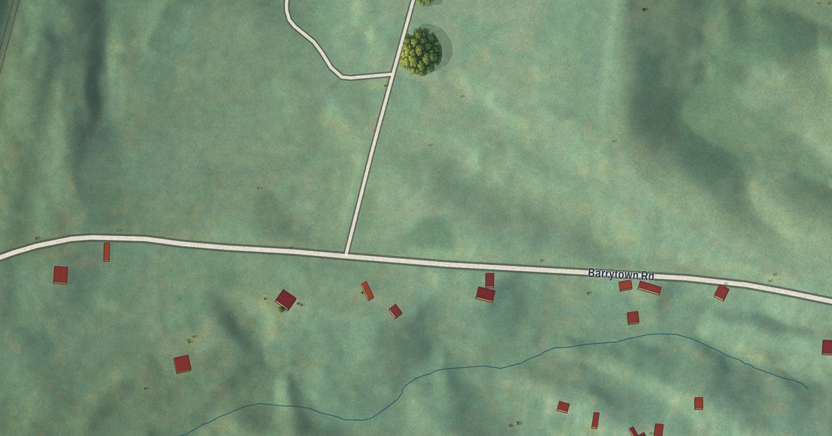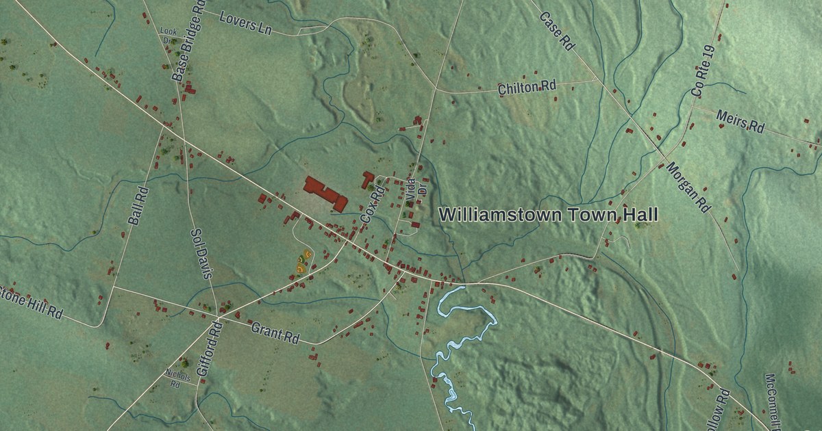
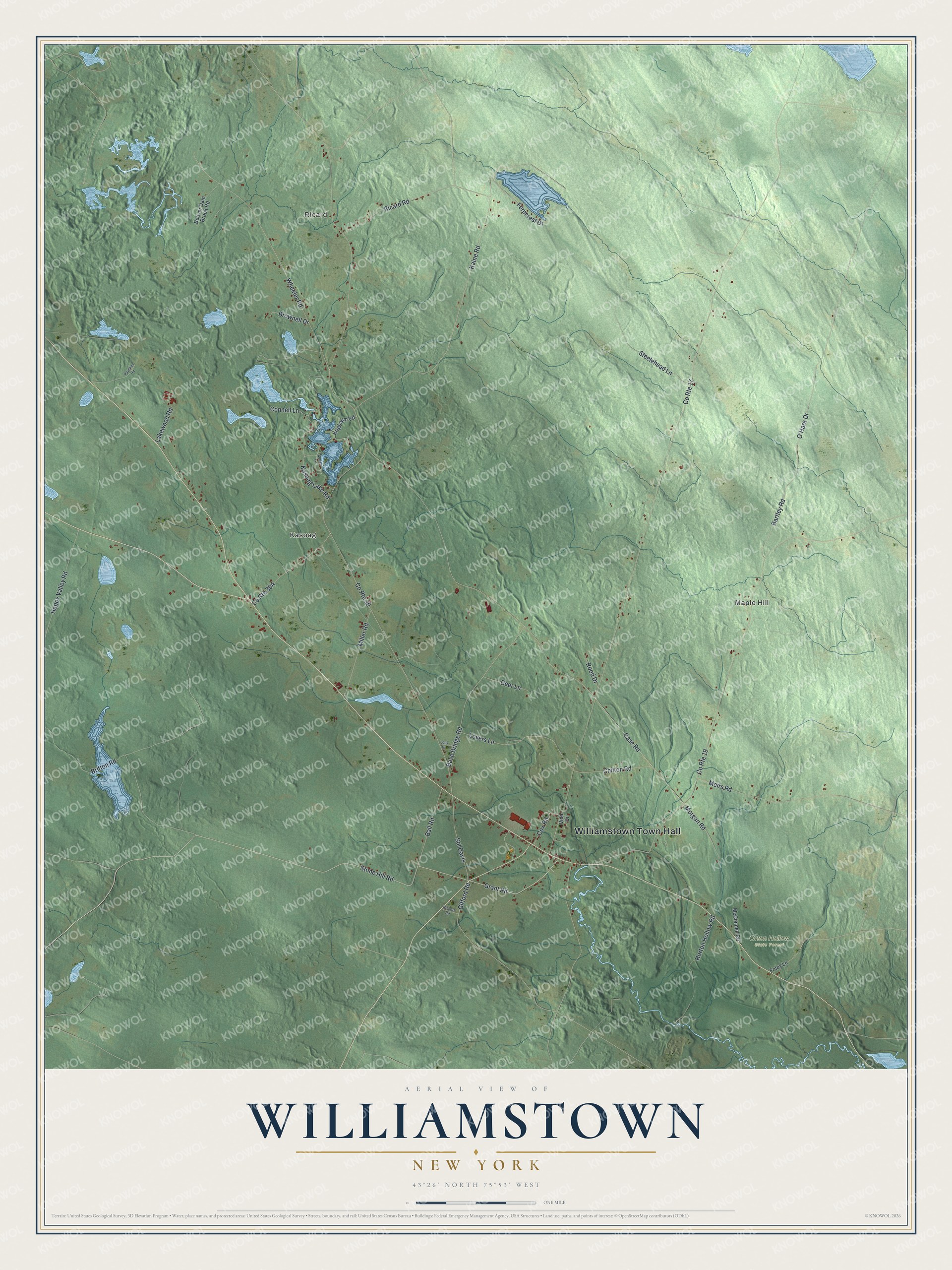
This beautifully detailed map of Williamstown, New York was created in 2026 using aerial imagery combined with modern topographical, census, street and landmark data. It’s a one-of-a-kind view of Williamstown that combines accurate data with a vintage aesthetic. The map shows every building in its true location, many of the roads carry their names, and the shaded topographic relief shows the shape of the land.
Explore an aerial view of Williamstown, New York
On the map you’ll find Williamstown Town Hall, Ricard, Maple Hill, Kasoag, and Orton Hollow State Forest, along with Stone Hill Road, Grant Road, Kaine Road, Britton Road, and more. If you look closely you can even find your house accurately drawn in its correct location. Zoom in on the preview to look for yours.
Did You Know?
George Scriba first named this land Franklin, Township No. 5. Ichabod Comstock became its first settler in 1801. Judge Henry Williams moved in from Camden, New York, in 1802. Soon after he arrived, residents renamed the town Williamstown to honor him.
Take a closer look at the Williamstown map
Names on this map
These names are printed on this map.
Places: Williamstown Town Hall, Ricard, Maple Hill, Kasoag and Orton Hollow State Forest.
Streets and roads: Stone Hill Road, Grant Road, County Route 30, County Route 17, County Route 19, Kaine Road, Britton Road, Wheeler Road, Bartley Road, O'Hara Drive, Base Bridge Road, Meirs Road.
More street names, A to Z
Adrian Lane, Ball Road, Beaver Dam Brook Road, Brownell Drive, Case Road, Chilton Road, Connell Lane, Cox Road, Deer Lane, Ferncrest Drive, Foley Lane, Gifford Road, Happy Valley Road, Horton Hollow Road, Kasoag Lake Road, Krigbaum Road, Lakewood Road, Look Drive, Lovers Lane, McConnell Road, Miller Road, Morgan Road, Nichols Road, Pavillion Road, Ricard Road, Rood Drive, Sol Davis, Steelehead Lane, Vida Drive.
See it on a wall
The Williamstown map as a framed print. Swipe for more.


This beautifully detailed map of Williamstown makes an attractive addition to your office, library, or den, and it can even be used to teach children the geography and history of the area. It also makes a great gift for anyone with Williamstown roots. When you’re done exploring, click here to get your copy of the Williamstown map.