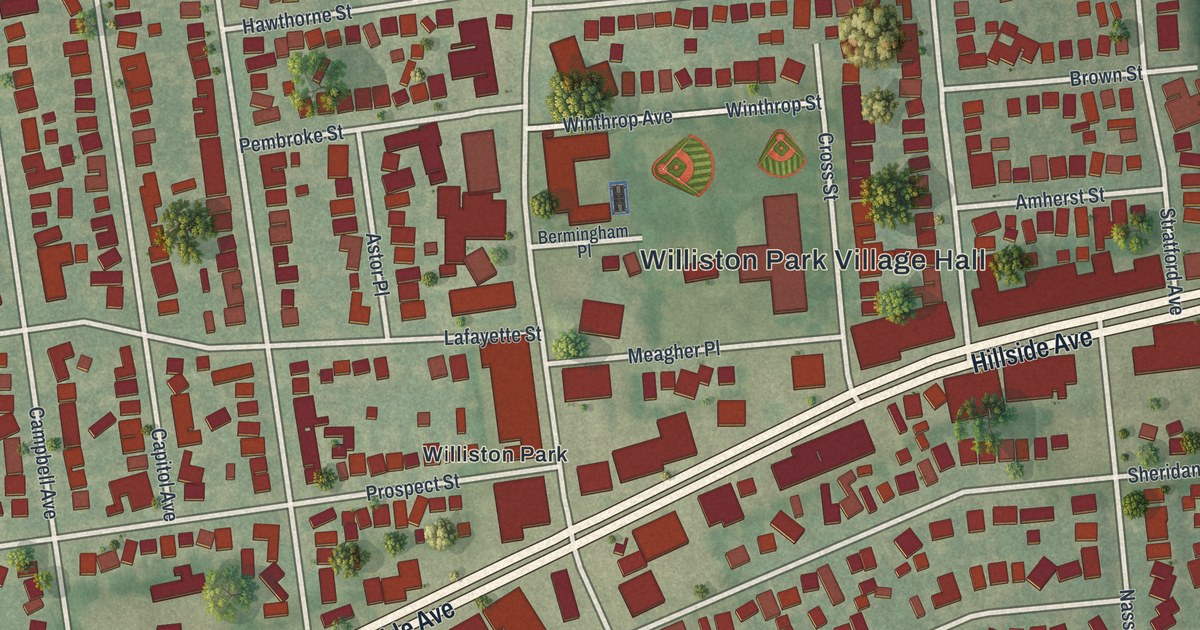
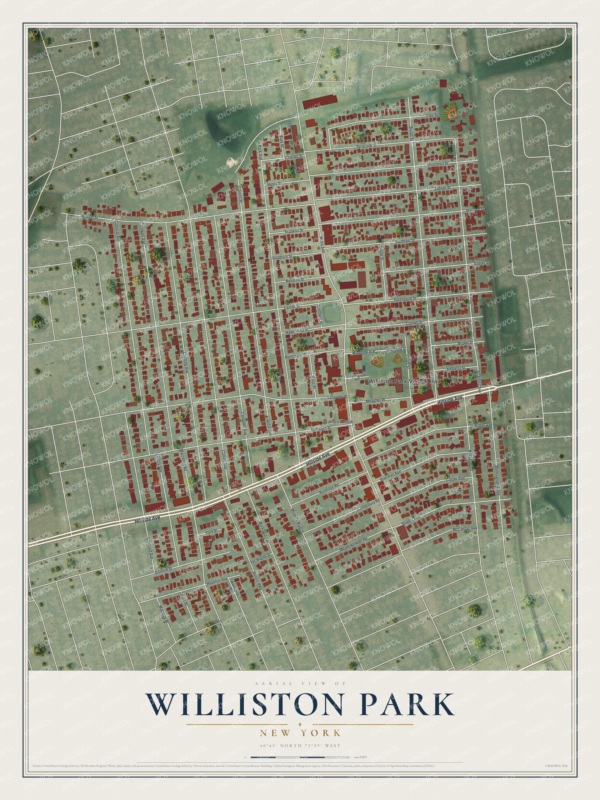
This beautifully detailed map of Williston Park, New York was created in 2026 using aerial imagery combined with modern topographical, census, street and landmark data. It’s a one-of-a-kind view of Williston Park that combines accurate data with a vintage aesthetic. The map shows every building in its true location, many of the roads carry their names, and the shaded topographic relief shows the shape of the land.
Explore an aerial view of Williston Park, New York
On the map you’ll find Williston Park Village Hall, along with Hillside Avenue, Willis Avenue, Park Avenue, Broad Street, and more. If you look closely you can even find your house accurately drawn in its correct location. Zoom in on the preview to look for yours.
Did You Know?
New York City developer William Chatlos bought 195 acres here in the early 1900s. He wanted an affordable planned community for city families moving to the suburbs. The village incorporated on September 8, 1926. Its name comes from Samuel Willis, a settler of the late 1600s, and from the Williston Park housing development.
Take a closer look at the Williston Park map
Names on this map
These names are printed on this map.
Places: Williston Park Village Hall and Williston Park.
Streets and roads: Hillside Avenue, Willis Avenue, Park Avenue, Broad Street, Collins Avenue, Cushing Avenue, Campbell Avenue, Stratford Avenue, Colonial Avenue, William Street, Cornwell Avenue, Lafayette Street.
More street names, A to Z
Amherst Street, Astor Place, Bermingham Place, Brown Street, Burkhard Avenue, Canterbury Road, Capitol Avenue, Center Street, Charles Street, Concord Avenue, Cornell Street, Cross Street, Custer Avenue, Dartmouth Street, Exeter Street, Fordham Street, Franklin Street, Gilmore Street, Goodrich Street, Harvard Street, Hawthorne Street, Henry Street, Horton Highway, Houston Avenue, Lehigh Street, Lewis Place, Liberty Avenue, Lindberg Place, Macatee Place, Marcellus Road, McClellan Avenue, Meadowsweet Road, Meagher Place, Mineola Boulevard, Nassau Boulevard, Park Place, Pembroke Street, Pennsylvania Avenue, Primrose Road, Princeton Street, Prospect Street, Remsen Street, Sheridan Avenue, Sherman Avenue, Shields Avenue, Smith Place, Syracuse Street, Temple Street, Van Wagner Place, Wellington Road, Winthrop Avenue, Winthrop Street, Yale Street, York Place.
See it on a wall
The Williston Park map as a framed print. Swipe for more.


This beautifully detailed map of Williston Park makes an attractive addition to your office, library, or den, and it can even be used to teach children the geography and history of the area. It also makes a great gift for someone who left Williston Park and still calls it home. When you’re done exploring, click here to get your copy of the Williston Park map.