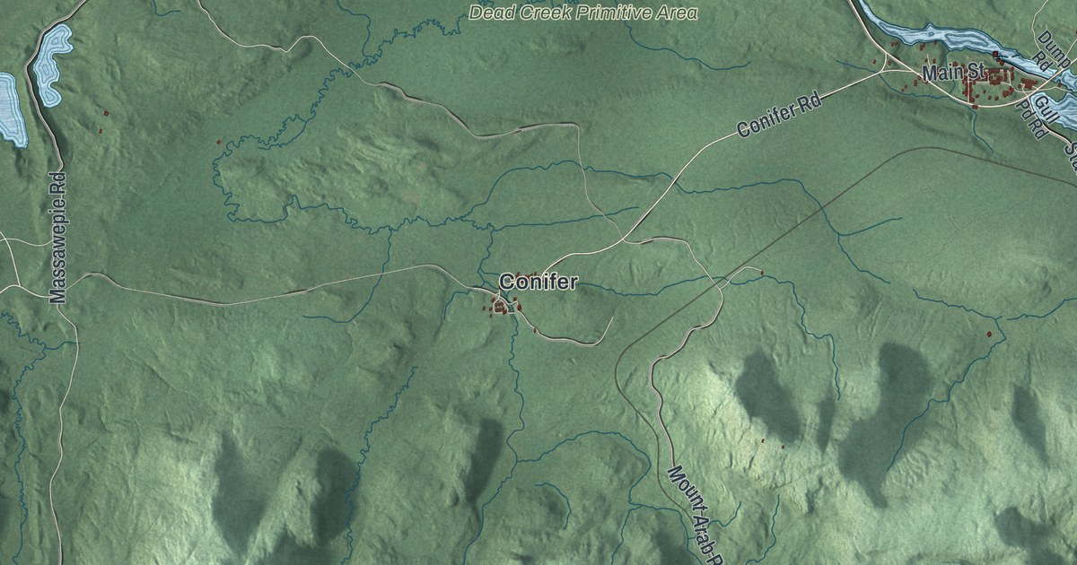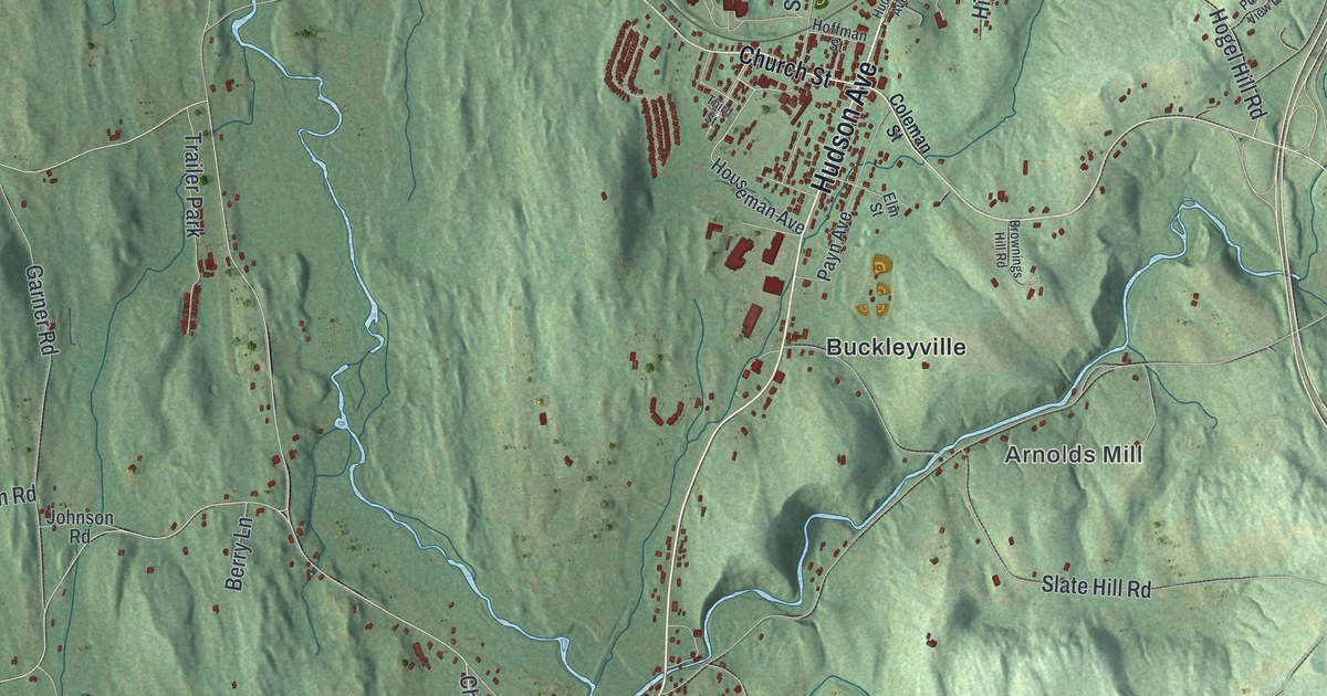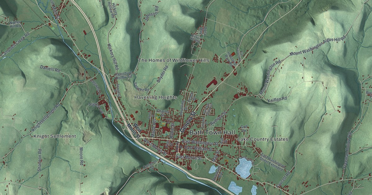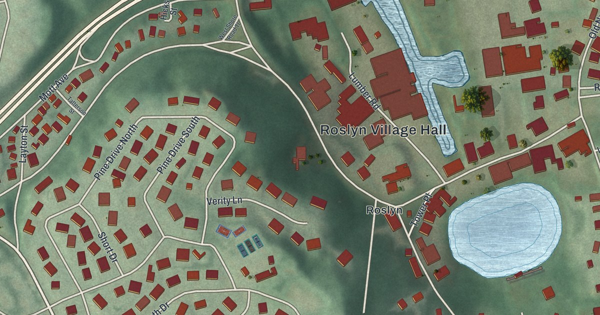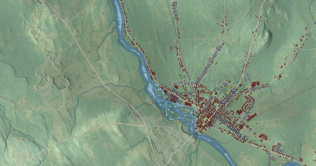
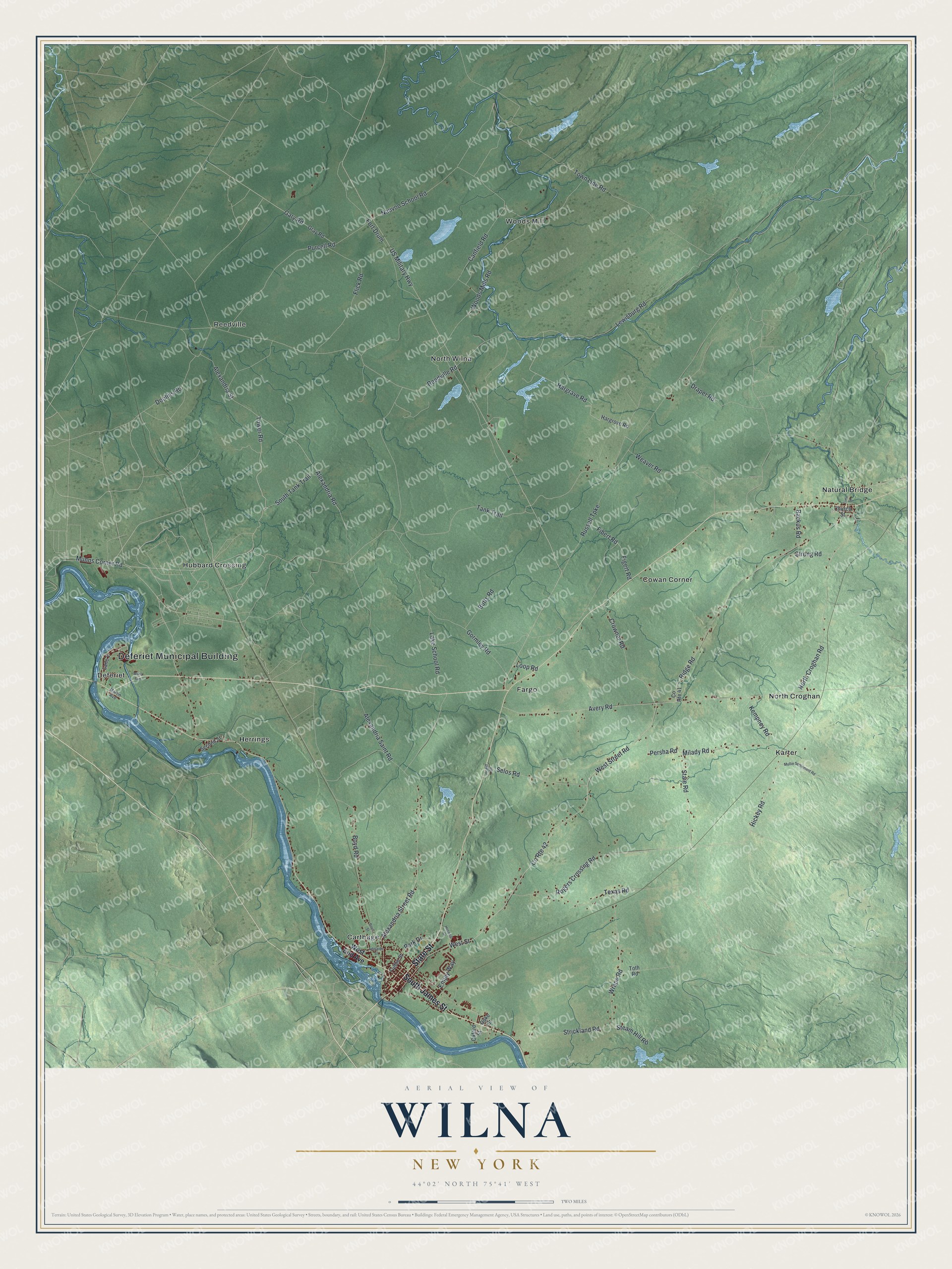
This beautifully detailed map of Wilna, New York was created in 2026 using aerial imagery combined with modern topographical, census, street and landmark data. It’s a one-of-a-kind view of Wilna that combines accurate data with a vintage aesthetic. The map shows every building in its true location, many of the roads carry their names, and the shaded topographic relief shows the shape of the land.
Explore an aerial view of Wilna, New York
On the map you’ll find Deferiet Municipal Building, Fort Drum, Carthage, Cowan Corner, Deferiet, Fargo, and Herrings, along with James Street, End Avenue, Lewisburg Road, and more. If you look closely you can even find your house accurately drawn in its correct location. Zoom in on the preview to look for yours.
Did You Know?
Joseph Bonaparte bought a large tract of land in Wilna and Diana. He made the village of Natural Bridge his home for two summers. The village was laid out in 1818. At Natural Bridge, the Indian River flows beneath the surface through passages worn in white limestone. That’s from the 1860 Gazetteer of the State of New York.
Take a closer look at the Wilna map
Names on this map
These names are printed on this map.
Places: Deferiet Municipal Building, Carthage, Cowan Corner, Deferiet, Fargo, Herrings, Hubbard Crossing, Karter, Natural Bridge, North Croghan, North Wilna, Reedville and Woods Mill.
Streets and roads: South James Street, State Street, Fort Drum, Lewisburg Road, South Tank Trail, Doolins Road, Tower Road, North Croghan Road, Woods Mills Road, Steam Hill Road, US Military Highway, West Street Road.
More street names, A to Z
Adelaide Street, Alexandria Road, Alexandria Saint Road, Alexandria Street, Alexandria Street Road, Avery Road, Backus Road, Boyd Road, Boyd Street, Butts Road, Canfield Road, Church Street, County Route 41, County Route 42, Crowner Road, Draper Road, Duke Street, Emjay Way, Fibert Road, Figert Road, Flick Road, Fulton Street, Gary Road, Gormley Road, Gray Road, Hargrave Road, Hargrove Road, Hewitt Circle, Hickey Road, Hospital Drive, Kempney Road, Lake School Road, Lane 1, Lime Street, Loop Road, Martin Avenue, Milady Road, Mullin Settlement Road, Munns Corner Road, Nauvoo School Road, Oxford Street, Park Drive, Persha Road, Purcell Road, Reedville Road, Ridge Road, Rogers Crossing Road, Russell Turnpike, Second Street, Selos Road, Staie Road, Strickland Road, Strong Road, Tank Trail, Texas Road, Toth Road, Town Line Road, Weaver Road, West End Avenue, West Street, Wilna Avenue, Wrape Road.
See it on a wall
The Wilna map as a framed print. Swipe for more.


This beautifully detailed map of Wilna makes an attractive addition to your office, library, or den, and it can even be used to teach children the geography and history of the area. It also makes a great gift for anyone with Wilna roots. When you’re done exploring, click here to get your copy of the Wilna map.