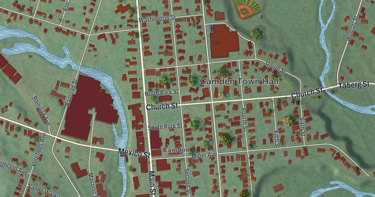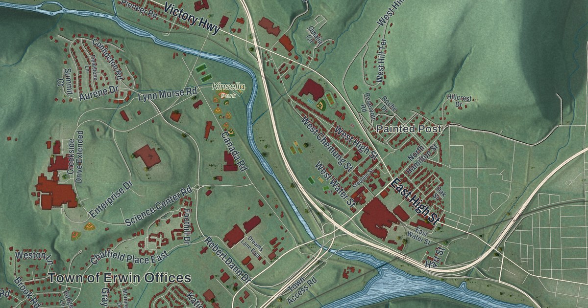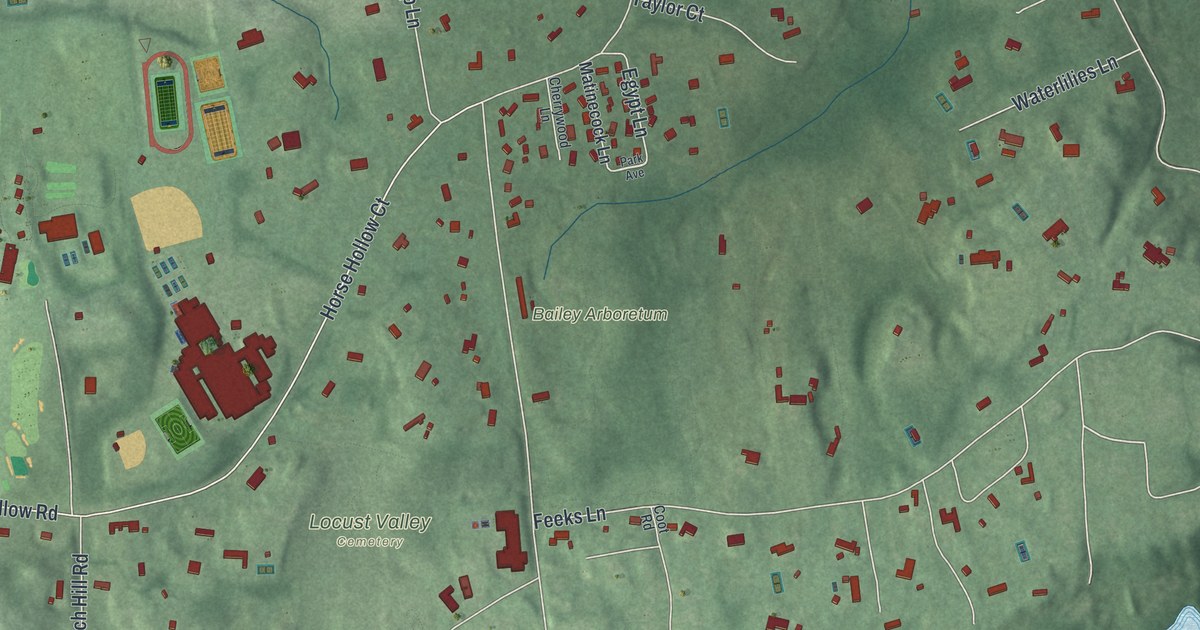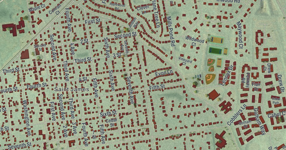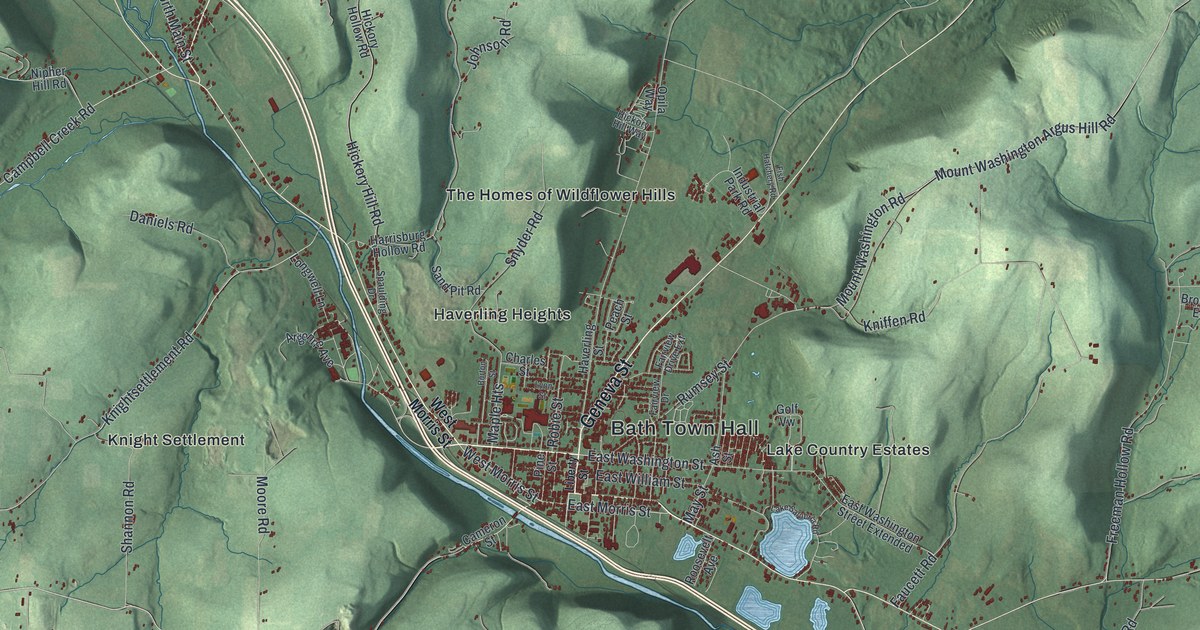
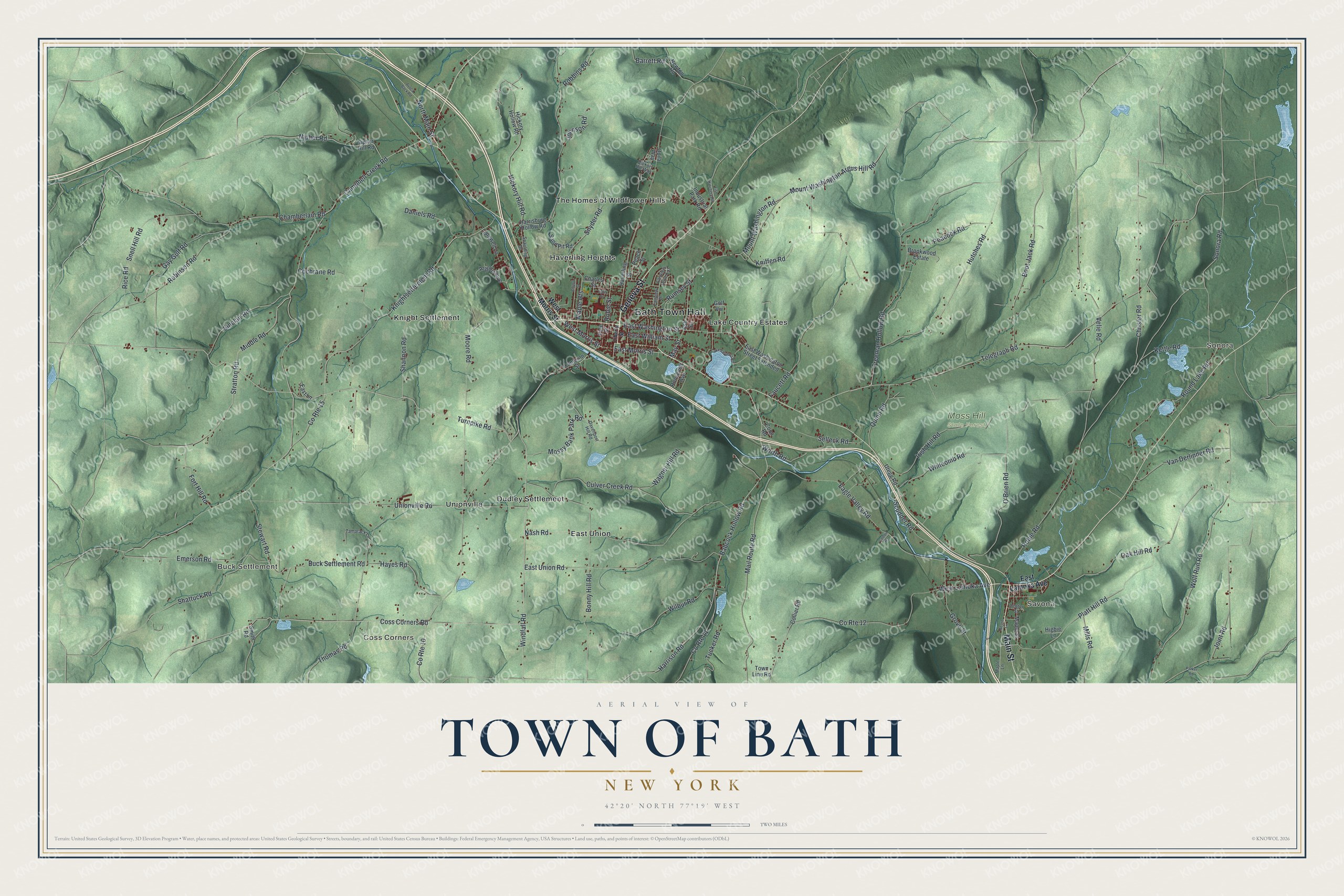
This beautifully detailed map of the Town of Bath, New York was created in 2026 using aerial imagery combined with modern topographical, census, street and landmark data. It’s a one-of-a-kind view of the Town of Bath that combines accurate data with a vintage aesthetic. The map shows every building in its true location, many of the roads carry their names, and the shaded topographic relief shows the shape of the land.
Explore an aerial view of the Town of Bath, New York
On the map you’ll find Bath Town Hall, Sonora, Buck Settlement, Savona, Coss Corners, Dudley Settlement, and Moss Hill State Forest, along with Main Street, Geneva Street, Liberty Street, Turnpike Road, and more. If you look closely you can even find your house accurately drawn in its correct location. Zoom in on the preview to look for yours.
Did You Know?
In 1793 Colonel Charles Williamson, agent for the Pulteney Estate, made the first clearing in Steuben County. He believed the trade of central New York would reach Baltimore by way of the Susquehanna. He chose this site beside the Cohocton River for a future metropolis. He meant to build the city first and draw settlers to it. That’s from the 1940 WPA guide to New York.
Take a closer look at the Town of Bath map
Names on this map
These names are printed on this map.
Places: Bath Town Hall, Sonora, Buck Settlement, Savona, Coss Corners, Moss Hill State Forest, Dudley Settlement, East Union, Haverling Heights, Knight Settlement, Lake Country Estates, The Homes of Wildflower Hills and Unionville.
Streets and roads: Main Street, Geneva Street, Turnpike Road, Windfall Road, West Morris Street, East Washington Street, Telegraph Road, Freeman Hollow Road, East Morris Street, Chamberlain Road, Harrison Road, Coss Corners Road.
More street names, A to Z
Acorn Lane, Argonne Avenue, Ash Street, Avoca Back Road, Babcock Hollow Road, Barrett Road, Bonny Hill Road, Boot Jack Road, Brookwood Estate, Buck Settlement Road, Burton Street, Cameron Street, Campbell Creek Road, Center Street, Charles Street, Chrisler Road, Cochrane Road, Collier Road, Cooler Road, Coon Road, County Route 10, County Route 11, County Route 12, County Route 15, Culver Creek Road, Daniels Road, Davenport Hill Road, Eagle Valley Road, East Lamoka Avenue, East Lane, East Union Road, East Washington Street Extended, East William Street, Emerson Road, Fairview Drive, Fairview Drive Extension, Faucett Road, Fish Hatchery Road, Fort Hill Road, Gay Gulf Road, Golf Vw, Grove Street, Harrisburg Hollow Road, Haverling Street, Hayes Road, Hickory Hill Road, Hickory Hill Way, Hickory Hollow Road, Higbie Lane, Hutches Road, Industrial Park Road, Irish Hill Road, Johnson Road, Joint Road, Kettle Road, Kniffen Road, Knightsettlement Road, Lake Salubria Road, Liberty Street, Longwell Lane, Lyon Street, Mail Route Road, Maple Heights, Maple Lane, Maple Street, May Street, Middle Road, Mills Road, Moore Road, Mossy Bank Park Road, Mount Washington Argus Hill Road, Mount Washington Road, Nash Road, Newton Road, Nipher Hill Road, Nipher Road, North Main Street, O'Brien Road, Oak Hill Road, Opila Way, Parker Road, Peach Street, Peacock Road, Pine Street, Platt Hill Road, Quinn Road, Rice Road, Robbins Road, Robie Road, Robie Street, Robinson Road, Roosevelt Avenue, Round Lake Road, Rumsey Street, Sand Pit Road, Scudder Road, Selleck Road, Shannon Road, Shattuck Road, Sinclair Road, Smith Road, Snell Hill Road, Snyder Road, Sonora Road, Spaulding Drive, Stewart Road, Stratton Road, Tamarack Lane, Thomas Road, Town Line Road, Tucker Road, Unionville Road, Utegg Road, Van Derlinder Road, Velie Road, Wagner Hill Road, West Lamoka Avenue, Whitcomb Road, Wilbur Road, Wolf Run Road, Worth Road.
See it on a wall
The Bath map as a framed print. Swipe for more.


This beautifully detailed map of the Town of Bath makes an attractive addition to your office, library, or den, and it can even be used to teach children the geography and history of the area. It also makes a great gift for someone who left the Town of Bath and still calls it home. When you’re done exploring, click here to get your copy of the Town of Bath map.