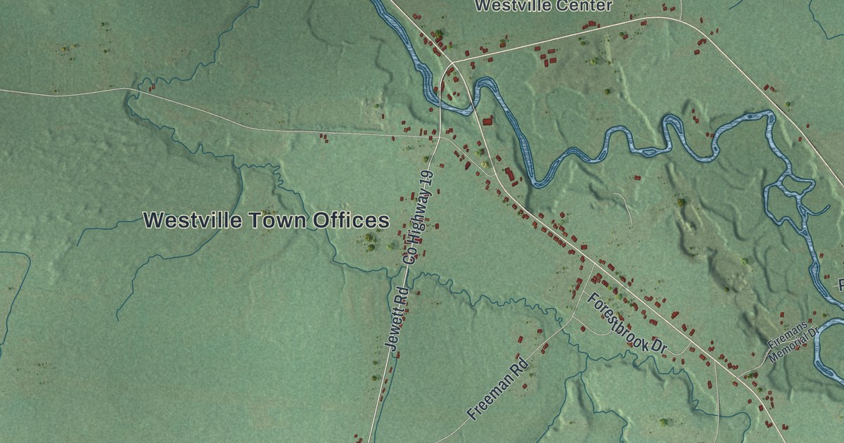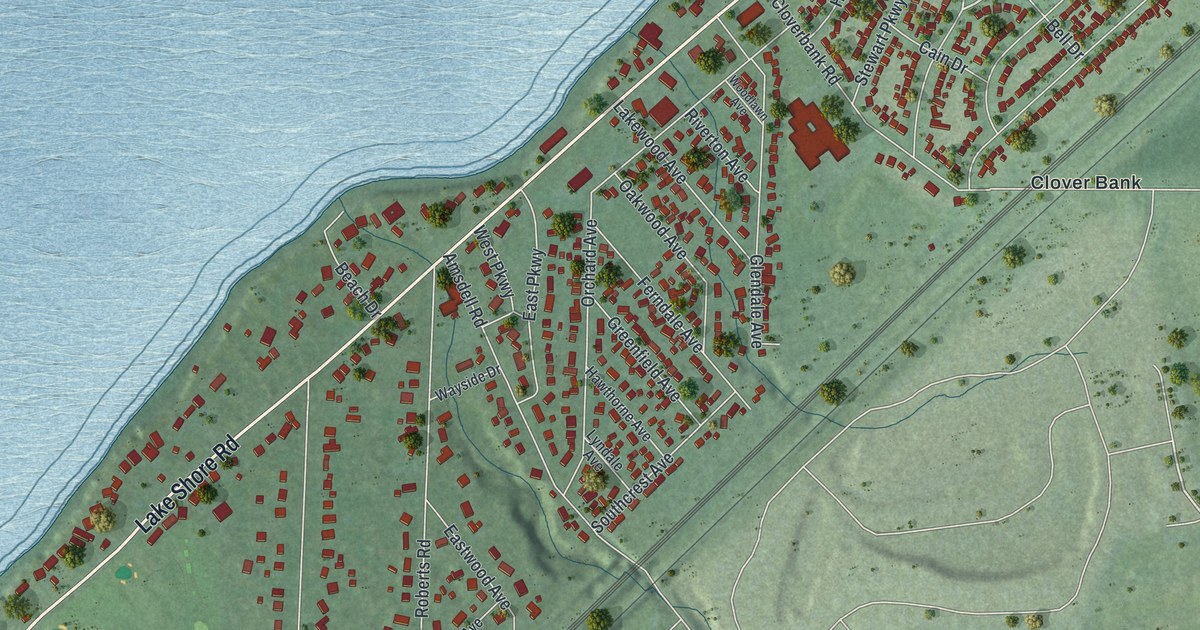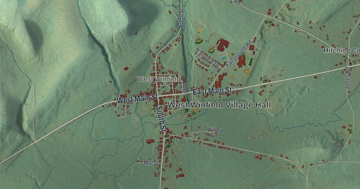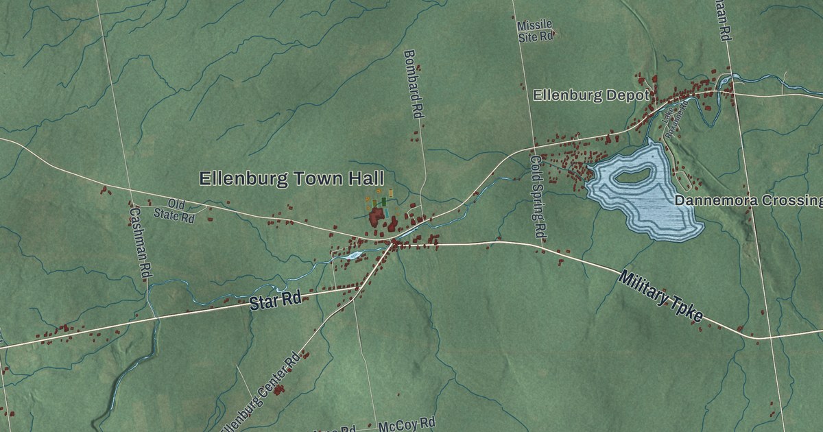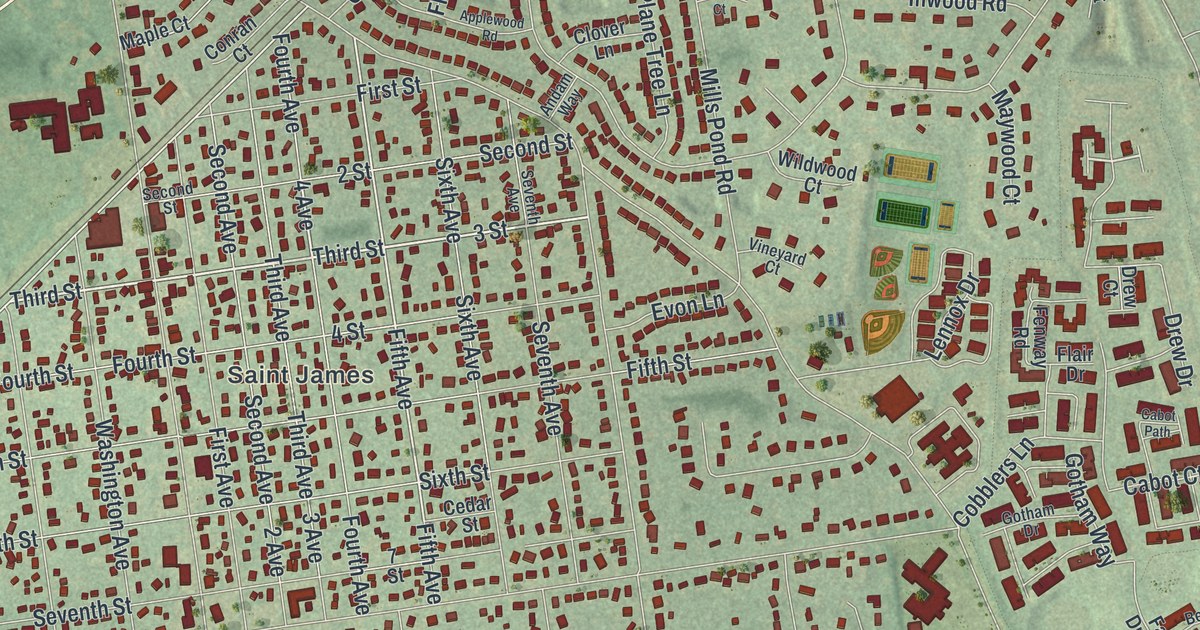
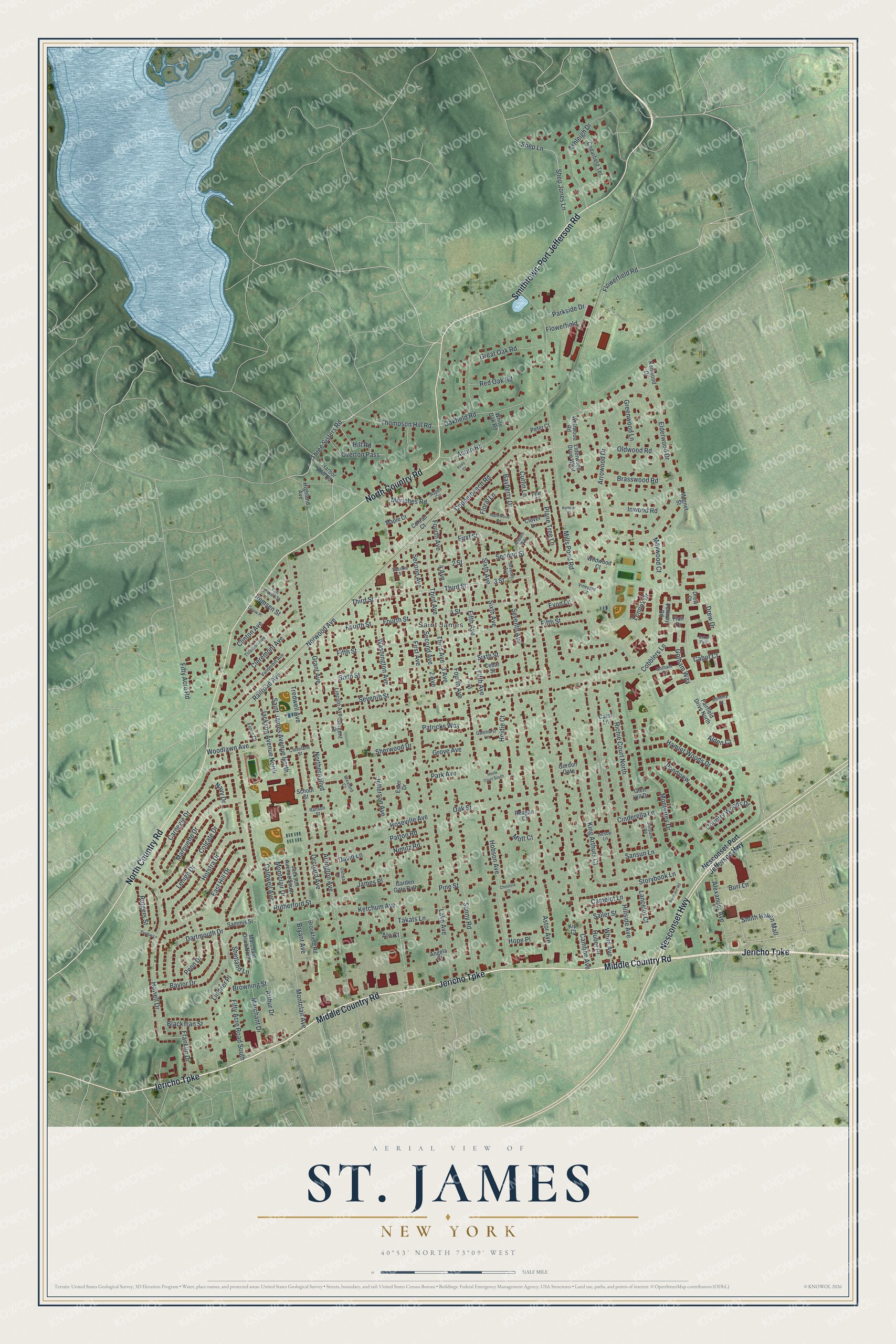
This beautifully detailed map of St. James, New York was created in 2026 using aerial imagery combined with modern topographical, census, street and landmark data. It’s a one-of-a-kind view of St. James that combines accurate data with a vintage aesthetic. The map shows every building in its true location, many of the roads carry their names, and the shaded topographic relief shows the shape of the land.
Explore an aerial view of St. James, New York
On the map you’ll find Jericho Turnpike, Country Road, Middle Country Road, Nesconset Highway, Smithtown-Port Jefferson Road, and more. If you look closely you can even find your house accurately drawn in its correct location. Zoom in on the preview to look for yours.
Did You Know?
St. James took its name from Saint James Episcopal Church in the 1850s. In the early 1900s, stars of stage and screen spent summers here. Lionel, Ethel and John Barrymore came, along with Buster Keaton, Myrna Loy and Irving Berlin.
Take a closer look at the St. James map
Names on this map
These names are printed on this map.
Places: Saint James.
Streets and roads: Jericho Turnpike, North Country Road, Middle Country Road, Nesconset Highway, Smithtown-Port Jefferson Road, Third Street, 4 Avenue, Smith Haven Mall, Fifth Avenue, Three Sisters Road, Remsen Street, Norwood Avenue.
More street names, A to Z
2 Avenue, 2 Street, 3 Avenue, 3 Street, 4 Street, 7 Street, Acorn Road, Aesop Lane, Alden Court, Alexander Avenue, Alo Court, Andam Way, Angela Court, Applewood Road, Arlington Avenue, Arrowood Drive, Arthur Drive, Ashleigh Drive, Aspen Circle, Astor Avenue, Bayberry Drive, Baylor Drive, Bentley Court, Blackman Street, Brasswood Road, Brookfield Road, Browning Street, Bryant Avenue, Burr Lane, Cabot Court, Cabot Path, Caldwell Avenue, Cambon Avenue, Camelot Lane, Carnegie Drive, Carol Lane, Carow Place, Cedarfield Terrace, Cedar Street, Christina Court, Cinderella Lane, Cleremont Avenue, Cleveland Street, Clinton Avenue, Clover Lane, Cobblers Lane, Colgate Drive, Conran Court, Copperbeech Road, Country Woods Drive, Curlin Lane, Dartmouth Drive, David Lane, Drew Court, Drew Drive, East Hill Drive, Elderwood Drive, Elderwood Drive West, Ester Drive, Evon Lane, Fairfield Drive North, Fenway Road, Fifth Street, Fifty Acre Road, Fifty Acre Road South, Fiore Court, First Avenue, First Street, Flair Drive, Floral Lane, Flowerfield, Flowerfield Road, Fourth Avenue, Fourth Street, Franklin Drive, Galehurst Lane, Garden Gate Path, Glen Hill Drive, Gordon Gate, Gotham Drive, Gotham Way, Grant Avenue, Great Oak Road, Greenwood Lane, Grove Avenue, Hamlet Woods Drive, Harbor Hill Road, Heide Court South, Heidie Court, Highland Avenue, Hill Road, Hillside Avenue, Hobson Avenue, Hofstra Drive, Hope Place, Howell Drive, Huber Place, Inwood Road, Jackson Avenue North, Jackson Avenue South, James Place, Jefferson Avenue, Kemper Court, Kenwood Drive, Ketchum Avenue, King Arthurs Court, Kip Court, Lake Avenue, Lancelot Court, Lehigh Drive, Lennox Drive, Lincoln Avenue, Lindner Place, Magnet Street, Maple Court, Marchant Drive, Marchant Drive North, Marquette Drive, Maywood Court, Mills Pond Road, Montclair Avenue, Montclair Drive, Monterrey Drive, Moriches Road, Mott Court, Navy Drive, Nesconset-Port Jefferson Highway, Nimitz Road, Northern Boulevard, Oakfield Road, Oak Street, Oldwood Road, Orchard Avenue, Oshea Lane, Overton Pass, Park Avenue, Parkside Drive, Patricks Way, Patton Road, Pear Court, Penn Drive, Peter Court, Pine Street, Pirey Court, Plane Tree Lane, Pondview, Pumpkin Road, Purdue Lane, Railroad Avenue, Ranson Street, Reagan Court, Red Oak Road, Richie Court North, Roseville Avenue, Rutgers Street, Rutherford Street, Sailer Street, Saint James Avenue North, Sammis Street, Sansun Lane, School Street, Second Avenue, Second Street, Sergent Court, Seventh Avenue, Seventh Street, Shep Jones Lane, Shep Lane, Sherwood Drive, Shetland Lane, Sixth Avenue, Sixth Street, Storybook Lane, Storyland Road, Sunny Road, Takats Lane, Third Avenue, Thompson Hill Road, Tillotson Avenue, Tredwell Avenue, Van Buren Street, Vanderbilt Avenue, Vineyard Court, Washington Avenue, Wellwood Road, Wexford Court, White Avenue, White Oak Road, Wildwood Court, Woodlawn Avenue.
See it on a wall
The St. James map as a framed print. Swipe for more.


This beautifully detailed map of St. James makes an attractive addition to your office, library, or den, and it can even be used to teach children the geography and history of the area. It also makes a great gift for someone who left St. James and still calls it home. When you’re done exploring, click here to get your copy of the St. James map.